Brick House End

Settlement in Essex Uttlesford

England

Brick House End

Berden Priory junction Berden Priory junction of roads down to the Priory and Priory Farm
Berden Priory junction Credit: Shaun Ferguson

Brick House End is a small village located in the county of Essex, England. Situated in the rural district of Uttlesford, it falls within the civil parish of Stansted Mountfitchet. With a population of around 300 residents, it is a close-knit community that offers a peaceful and idyllic countryside setting.

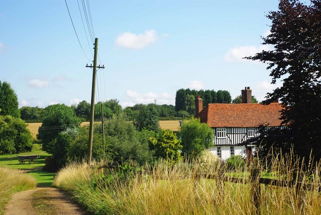
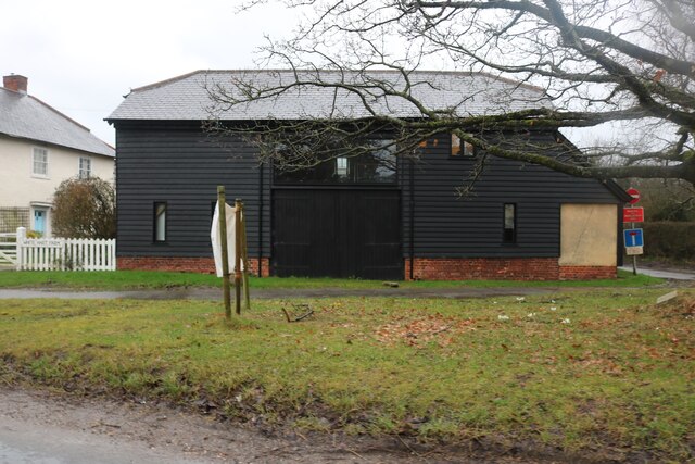
The village is characterized by its charming architecture, with many traditional brick houses dating back several centuries. The name "Brick House End" is derived from the abundance of these brick-built homes, which are a testament to the area's rich historical heritage.

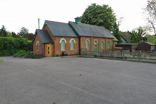
Despite its small size, Brick House End benefits from a range of amenities and services. The village has a local primary school, providing education for children within the community. There is also a village hall that serves as a hub for social gatherings and community events.

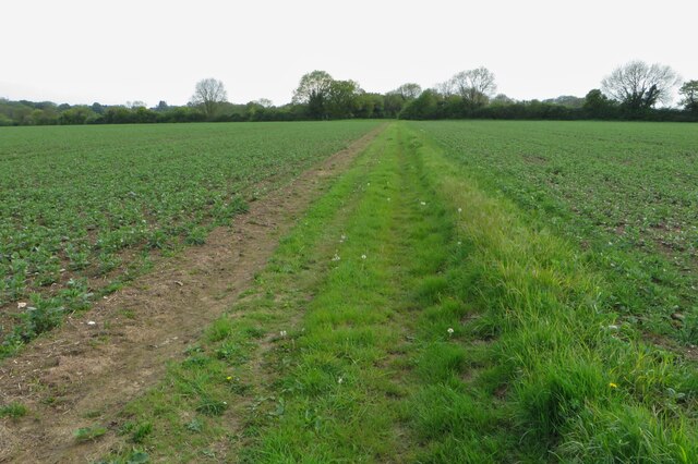
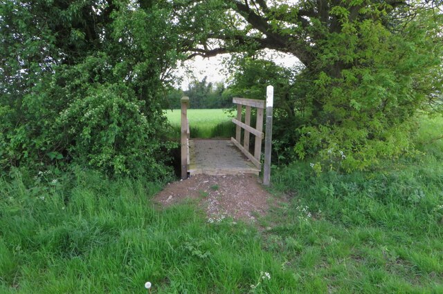
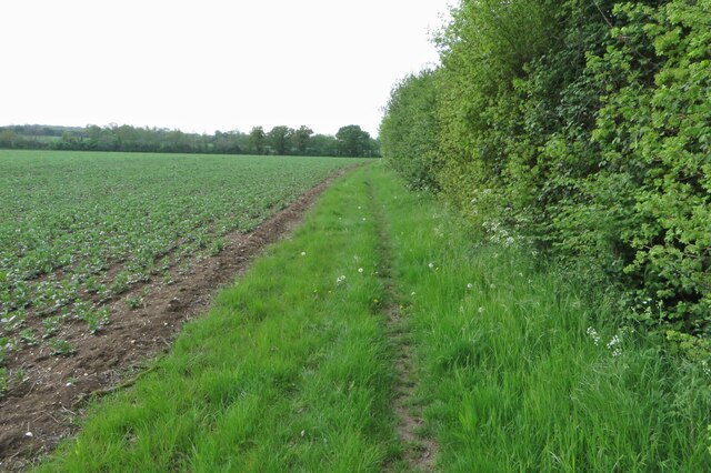
Surrounded by picturesque countryside, Brick House End offers residents and visitors the opportunity to explore the natural beauty of the area. The village is encompassed by rolling hills, meandering rivers, and lush green fields, providing an ideal setting for outdoor activities such as hiking, cycling, and fishing.

Although Brick House End may lack the hustle and bustle of larger towns, it offers a tranquil and close community spirit that is highly valued by its residents. With its historic charm, beautiful surroundings, and strong sense of community, Brick House End is a hidden gem in the heart of rural Essex.

If you have any feedback on the listing, please let us know in the comments section below.

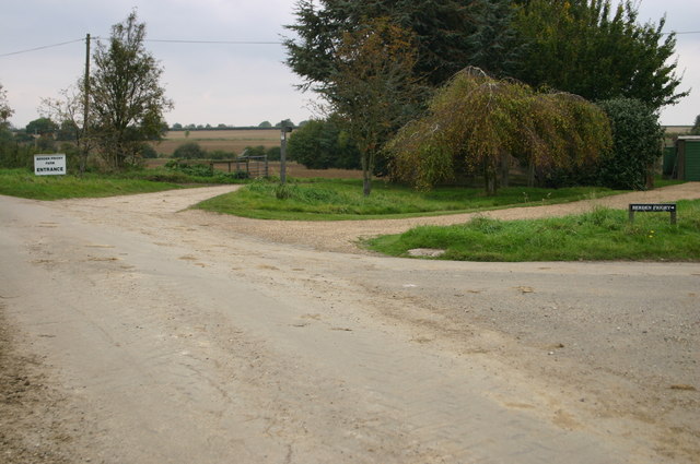
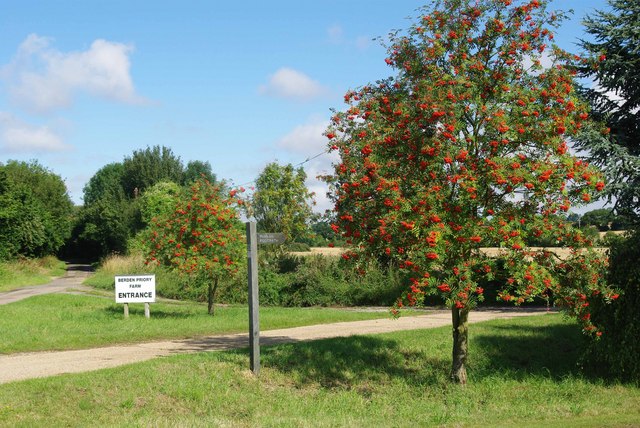
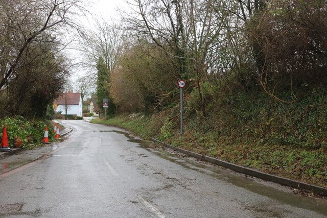
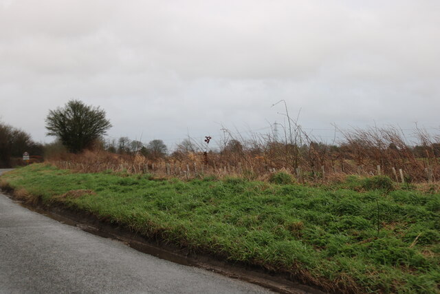
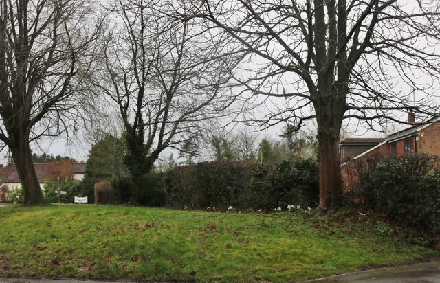
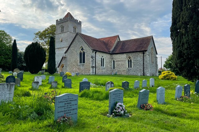
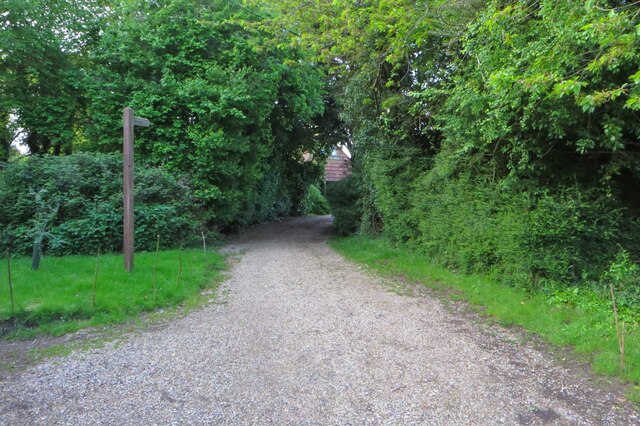
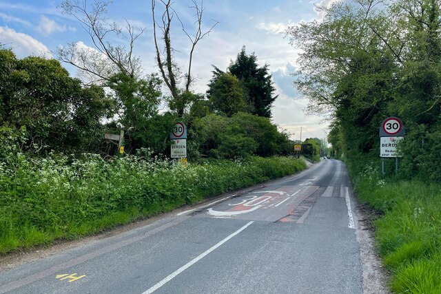
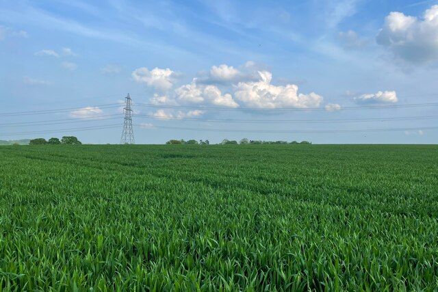
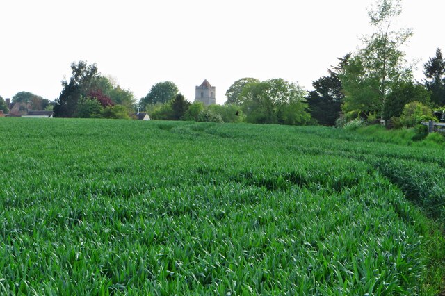
Brick House End Images

Images are sourced within 2km of 51.935199/0.135067 or Grid Reference TL4628. Thanks to Geograph Open Source API. All images are credited.

Berden Priory junction Berden Priory junction of roads down to the Priory and Priory Farm
Berden Priory junction
Berden Priory junction of roads down to the Priory and Priory Farm
Footpath to Berden Priory Another view of  <a href="https://www.geograph.org.uk/photo/579568">TL4630 : Berden Priory junction</a> this time showing the Rowans in fruit.
Footpath to Berden Priory
Another view of TL4630 : Berden Priory junction this time showing the Rowans in fruit.
Mell House This is Mell house near Berden Priory
Mell House
This is Mell house near Berden Priory
Byway Botany This strikingly violet flower was growing next to the byway by <a href="https://www.geograph.org.uk/photo/1413768">TL4630 : Mell House</a> my best guess it that it is Wood Cranes-bill Geranium sylvaticum but I don’t claim to be a botanist!
Byway Botany
This strikingly violet flower was growing next to the byway by TL4630 : Mell House my best guess it that it is Wood Cranes-bill Geranium sylvaticum but I don’t claim to be a botanist!
Ginns Road, Berden
Ginns Road, Berden
Field by Ginns Road, Berden
Converted barn on Ginns Road, Stocking Pelham It was converted at some point after Google saw it in 2009
Converted barn on Ginns Road, Stocking Pelham
It was converted at some point after Google saw it in 2009
Small green in Stocking Pelham
Footpath towards Stocking Farm
Footbridge on the footpath to Stocking Farm
Footpath to Pelham Gate
St Nicholas's Church
Bearden Village Hall
Byway to Waxtead Knoll
Coming into Berden
Coming into Berden
Footpath to Little London On the map, anyway, no sign on the ground
Footpath to Little London
On the map, anyway, no sign on the ground
Looking over the field to St Nicholas
'The Cock' inn, Stocking Pelham, Herts.
Show me another place!

Brick House End is located at Grid Ref: TL4628 (Lat: 51.935199, Lng: 0.135067)

Administrative County: Essex

District: Uttlesford

Police Authority: Essex

What 3 Words

///forehand.sticking.study. Near Stansted Mountfitchet, Essex

Related Wikis

Berden Hall

Berden Hall is a Grade II* listed Elizabethan country house in Berden, in the Uttlesford District of Essex, England. The house was built in the 1580s....

St Nicholas' Church, Berden

St Nicholas' Church is a Grade I listed parish church in the village of Berden, Essex, England. Of the Early English Gothic style, the church has a Norman...

Berden Priory

Berden Priory was a priory in Essex, England. This site now has a Grade II* listed late 16th-century timber-framed house, the centre of Berden Priory Farm...

Berden

Berden is a village and civil parish in Essex, England. Berden village is approximately 6 miles (10 km) north from Bishop's Stortford, Hertfordshire and...

Stocking Pelham

Stocking Pelham is a village and civil parish in the East Hertfordshire district of Hertfordshire, England. It is located on the border with Essex, around...

Manuden

Manuden is a village and civil parish in the Uttlesford district of Essex, England. It is located around 3+1⁄2 miles (6 km) north of Bishop's Stortford...

Hillcollins Pit

Hillcollins Pit or Furneux Pelham Gravel Pit is a 0.2-hectare (0.49-acre) geological Site of Special Scientific Interest near Furneux Pelham in Hertfordshire...

Wicken Bonhunt

Wicken Bonhunt is a village and a civil parish of north-west Essex, in the non-metropolitan district of Uttlesford, England. It is on the B1038 (Buntingford...

Nearby Amenities

Located within 500m of 51.935199,0.135067
Park Green
Created By: Potlatch 0.10f
Place: hamlet
Source: npe
Lat/Long: 51.9367467/0.1307337
Power: tower
Lat/Long: 51.932832/0.1326406
Power: tower
Lat/Long: 51.9320781/0.1348668
Power: tower
Lat/Long: 51.9321964/0.1374504
Power: tower
Lat/Long: 51.9327103/0.1300756
Power: pole
Source: Bing
Lat/Long: 51.9356814/0.1324501
Power: pole
Source: Bing
Lat/Long: 51.9357492/0.1334076
Power: pole
Source: Bing
Lat/Long: 51.9351075/0.1340943
Power: pole
Source: Bing
Lat/Long: 51.9360865/0.1315247
Power: pole
Source: Bing
Lat/Long: 51.9366389/0.1302104
Power: pole
Source: Bing
Lat/Long: 51.9369465/0.1287674
Power: pole
Source: Bing
Lat/Long: 51.9365263/0.1338555
Power: pole
Source: Bing
Lat/Long: 51.9387521/0.1362588
Power: pole
Source: Bing
Lat/Long: 51.9373052/0.1342847
Power: pole
Source: Bing
Lat/Long: 51.937368/0.1325064
Power: pole
Source: Bing
Lat/Long: 51.9390977/0.1379969
Information: guidepost
Source: survey
Tourism: information
Lat/Long: 51.9349622/0.1349164
Information: guidepost
Tourism: information
Lat/Long: 51.9338364/0.1361606
Turning Loop
Lat/Long: 51.9371103/0.1309311
Power: tower
Ref: 4ZM086
Lat/Long: 51.9378234/0.1292686
Power: pole
Source: Bing
Lat/Long: 51.9384536/0.1347548
Power: pole
Source: Bing
Lat/Long: 51.9384631/0.1347514
Fixme: The public footpath leads to here, but where on earth are you supposed to go? The track leads to a shut gate and the path leads into the garden. There's quite obviously no PROW through the grounds of the peoples' house.
Source: survey
Lat/Long: 51.9341921/0.1345579
Post Box
Lat/Long: 51.9392854/0.1360209
Brick House End
Place: locality
Lat/Long: 51.9347271/0.1346519
Barrier: swing_gate
Lat/Long: 51.9348425/0.1350512
The data included in this document is from www.openstreetmap.org. The data is made available under ODbL.

Have you been to Brick House End?

Leave your review of Brick House End below (or comments, questions and feedback).