Dolwyddelan
Community in Merionethshire
Wales
Dolwyddelan
Dolwyddelan is a small community located in the historic county of Merionethshire, Wales. Situated in the Snowdonia National Park, it is nestled in the beautiful Conwy Valley. The community is named after the village of Dolwyddelan, which is its main settlement.
Dolwyddelan is known for its rich history and stunning natural surroundings. The village is dominated by Dolwyddelan Castle, a 13th-century fortress that stands proudly on a hilltop overlooking the community. The castle was built by Llywelyn the Great, a Welsh prince, and served as a strategic stronghold during the medieval period.
The community offers a range of amenities and facilities to both residents and visitors. In the village, there are several shops, cafes, and traditional pubs where visitors can sample local cuisine and beverages. Dolwyddelan also has a primary school, a village hall, and a post office, which provide essential services to the local population.
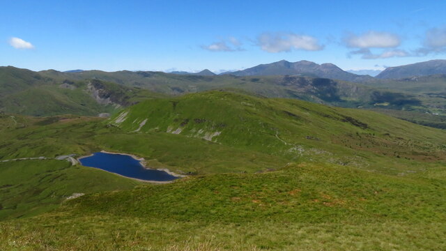
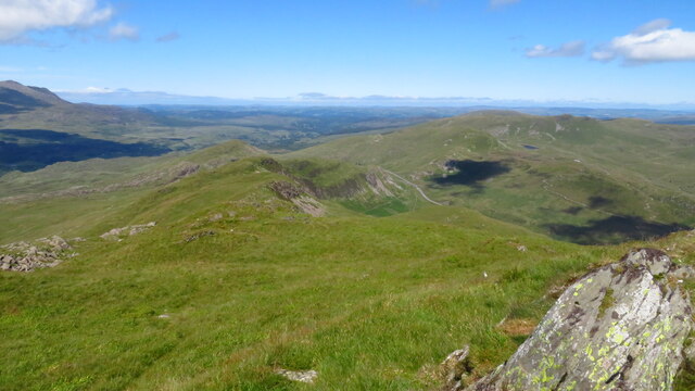
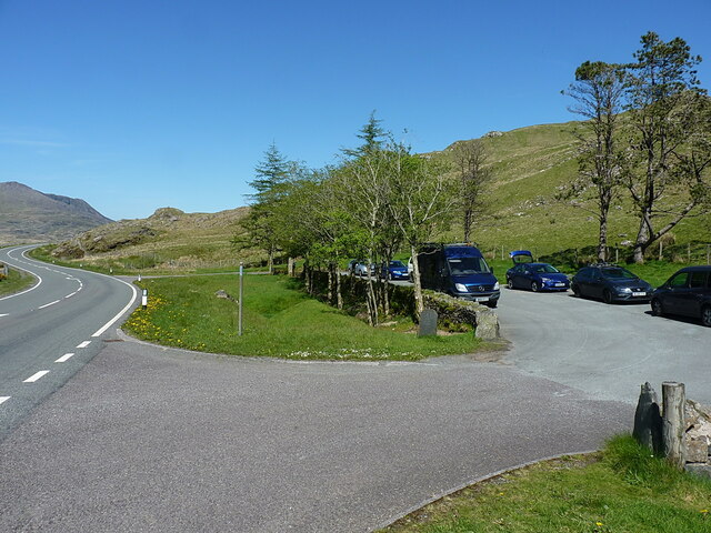
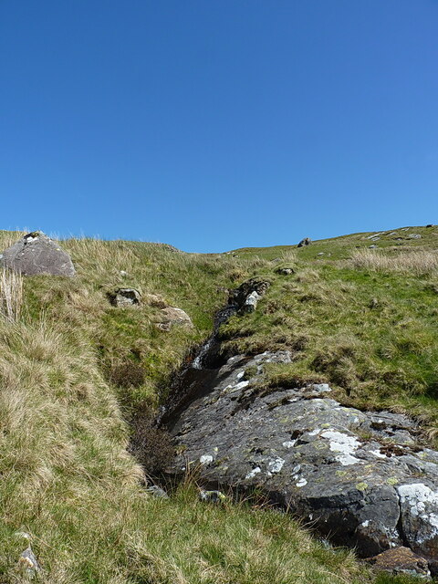
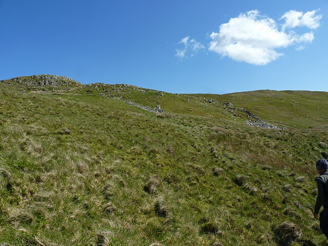
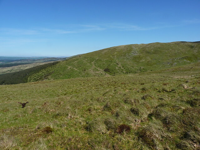
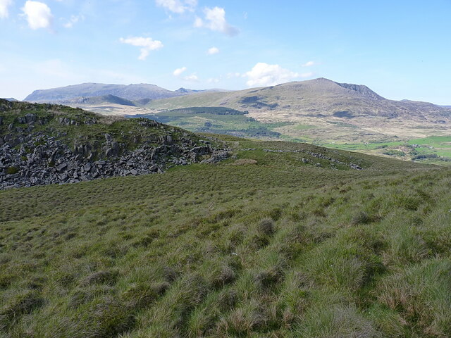
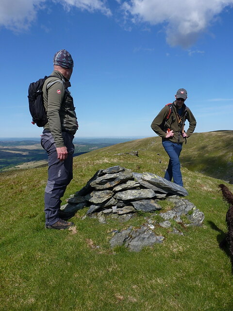
The area surrounding Dolwyddelan is a haven for outdoor enthusiasts. The community is surrounded by breathtaking landscapes, including mountains, lakes, and rivers, making it an ideal destination for hiking, mountain biking, and fishing. The nearby Llyn Cowlyd Reservoir is a popular spot for water sports, offering opportunities for canoeing and sailing.
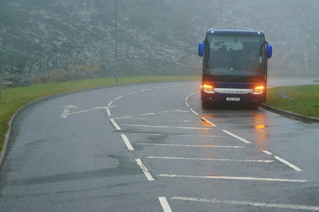
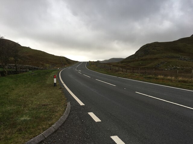
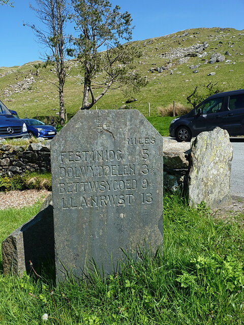
Dolwyddelan is well-connected to other parts of Wales and the United Kingdom. The A470 road passes through the community, providing easy access to larger towns and cities. The nearest railway station is located in Dolwyddelan village, offering transport links to the wider region.
Overall, Dolwyddelan is a charming community that combines a rich historical heritage with stunning natural beauty, making it a popular destination for both locals and tourists alike.
If you have any feedback on the listing, please let us know in the comments section below.
Dolwyddelan Images
Images are sourced within 2km of 53.015792/-3.952581 or Grid Reference SH6948. Thanks to Geograph Open Source API. All images are credited.

Dolwyddelan is located at Grid Ref: SH6948 (Lat: 53.015792, Lng: -3.952581)
Unitary Authority: Conwy
Police Authority: North Wales
What 3 Words
///zoos.currently.survey. Near Blaenau-Ffestiniog, Gwynedd
Nearby Locations
Related Wikis

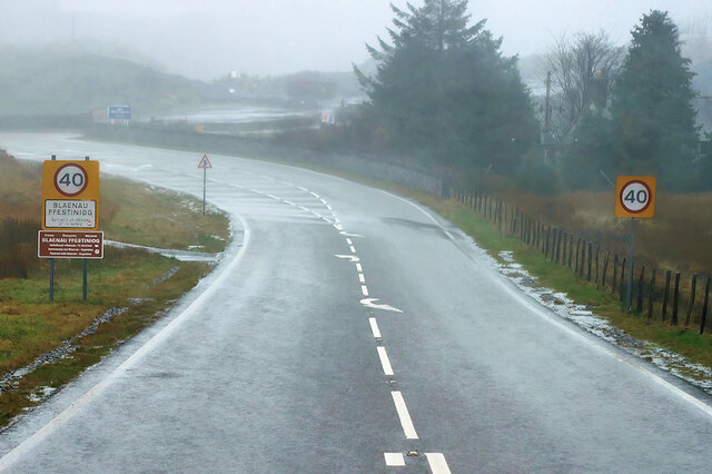
Crimea Pass
The Crimea Pass (Welsh: Bwlch y Gorddinan) is a mountain pass in North Wales, on the A470 road between Blaenau Ffestiniog and Dolwyddelan connecting the...

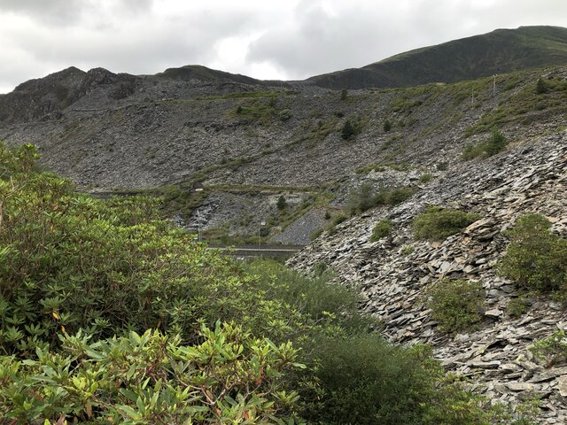
Allt-fawr
Allt-fawr is a mountain in Snowdonia, North Wales and forms part of the Moelwynion group. It is on the internal border of Snowdonia National Park, and...
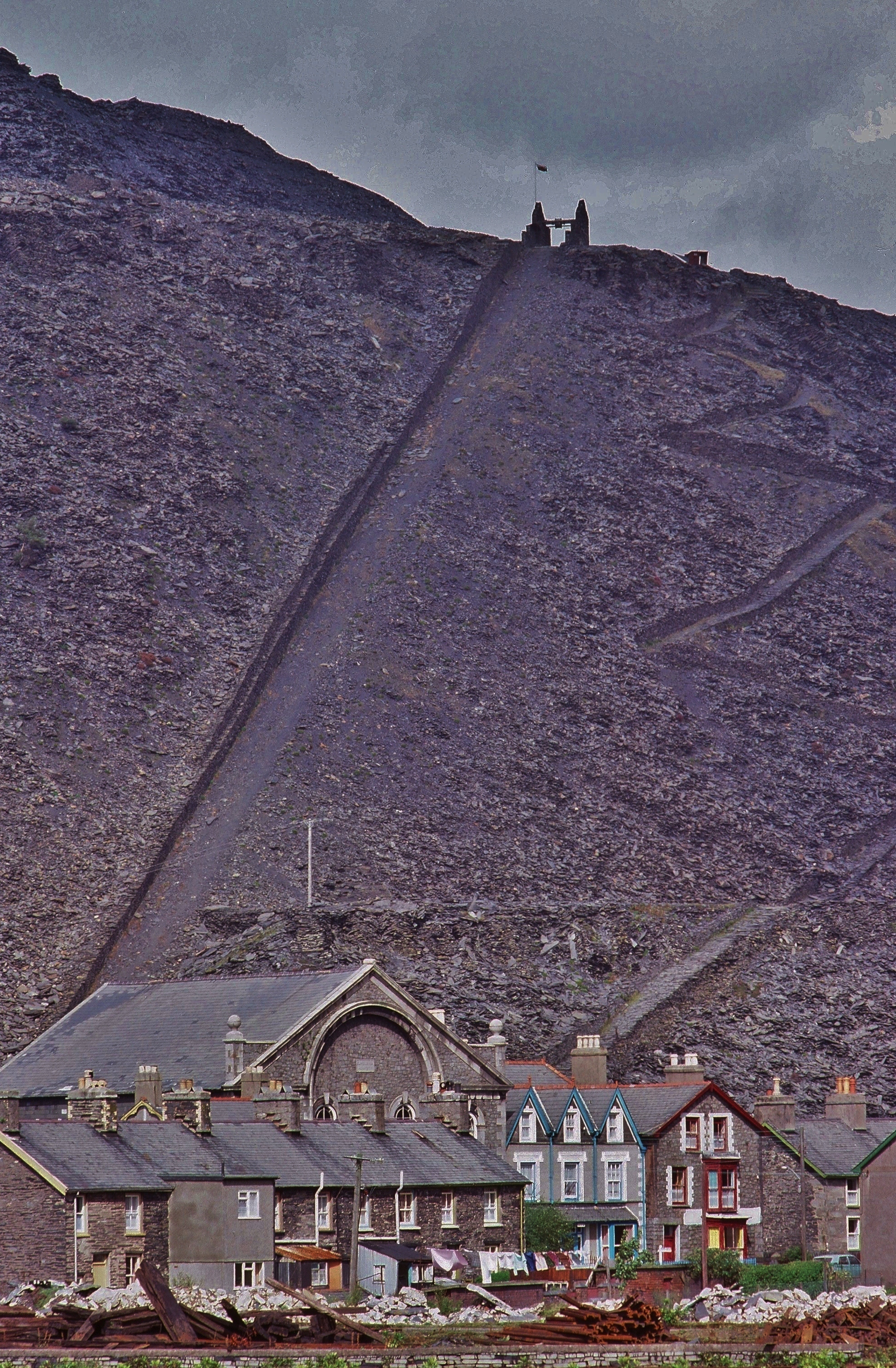
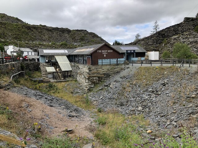
Oakeley quarry
Oakeley quarry is a slate quarry in the town of Blaenau Ffestiniog, north Wales. It was the largest underground slate mine in the world, and had 26 floors...

Blaenau Ffestiniog (Pantyrafon) railway station
Blaenau Ffestiniog (Pantyrafon) was the London and North Western Railway's (LNWR) first passenger station in Blaenau Ffestiniog, then in Merionethshire...
Nearby Amenities
Located within 500m of 53.015792,-3.952581Have you been to Dolwyddelan?
Leave your review of Dolwyddelan below (or comments, questions and feedback).