Llyn Ffridd-y-bwlch
Lake, Pool, Pond, Freshwater Marsh in Merionethshire
Wales
Llyn Ffridd-y-bwlch
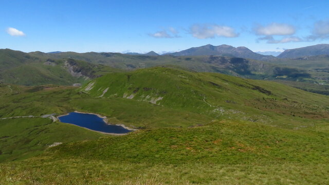
Llyn Ffridd-y-bwlch, located in Merionethshire, is a picturesque freshwater lake nestled in the heart of the Welsh countryside. Spanning an area of approximately 20 acres, this idyllic body of water is known for its serene beauty and diverse ecosystem.
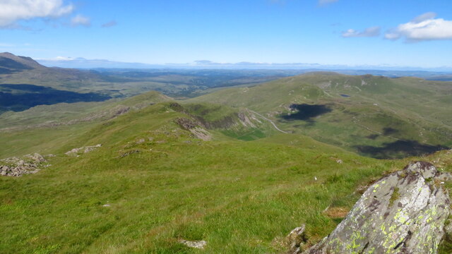
Surrounded by lush green hills, Llyn Ffridd-y-bwlch offers a tranquil retreat for nature enthusiasts and visitors seeking solace. The lake is fed by several small streams that flow down from the surrounding slopes, ensuring a constant supply of fresh water. This sustains a rich variety of aquatic life, including fish, amphibians, and invertebrates.
The lake's edge is adorned with a vibrant array of vegetation, such as reeds, grasses, and water lilies, creating a haven for numerous bird species. Ornithologists can spot a variety of waterfowl, such as ducks, swans, and herons, gracefully gliding across the water or nesting amidst the reeds. The lake is particularly popular during the breeding season when birdwatchers gather to witness the courtship displays and the hatching of new chicks.
Llyn Ffridd-y-bwlch is not only a haven for wildlife but also a place of recreation for locals and tourists alike. It offers opportunities for fishing, allowing anglers to try their luck at catching the lake's resident trout and perch. Additionally, the lake's calm waters make it suitable for boating and canoeing, providing visitors with a chance to explore its natural beauty from a different perspective.
With its stunning scenery and abundant wildlife, Llyn Ffridd-y-bwlch is a true gem of Merionethshire, attracting nature enthusiasts and outdoor lovers from near and far. Its peaceful ambiance and untouched beauty make it a perfect destination for those seeking a serene and immersive experience in nature.
If you have any feedback on the listing, please let us know in the comments section below.
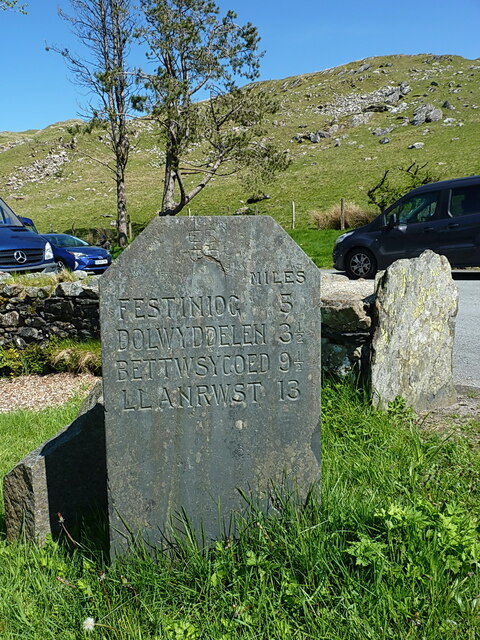
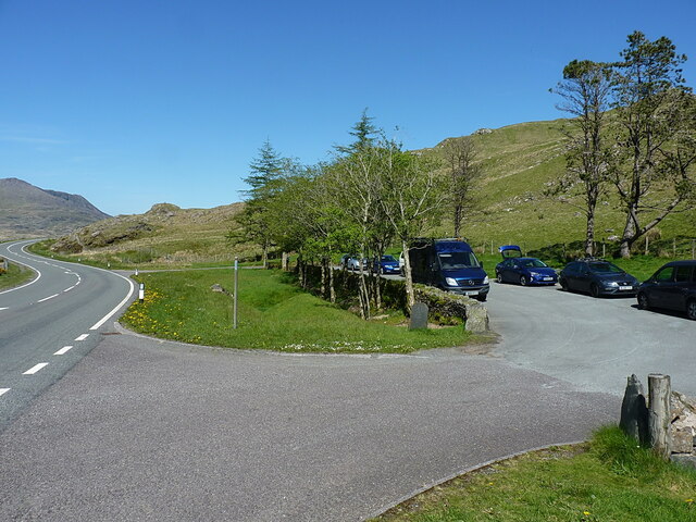
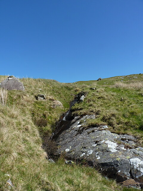
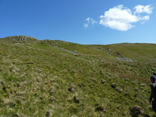
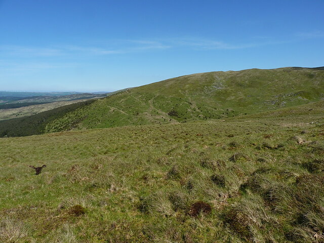
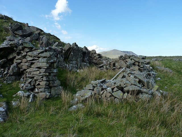
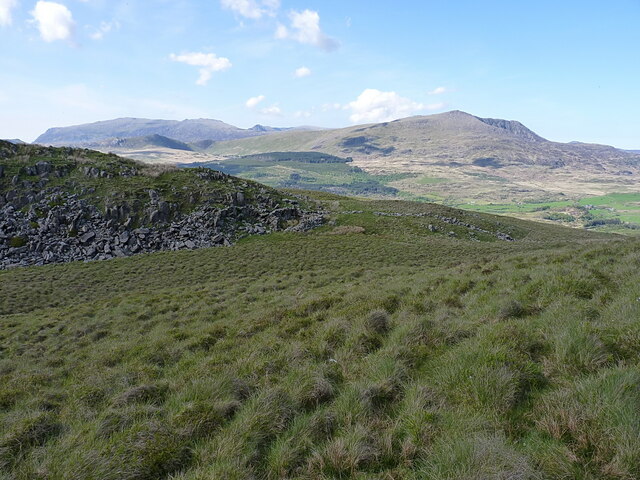
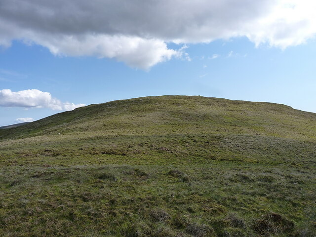
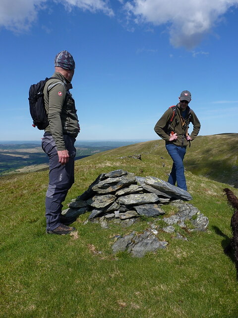
Llyn Ffridd-y-bwlch Images
Images are sourced within 2km of 53.013901/-3.9464244 or Grid Reference SH6948. Thanks to Geograph Open Source API. All images are credited.

Llyn Ffridd-y-bwlch is located at Grid Ref: SH6948 (Lat: 53.013901, Lng: -3.9464244)
Unitary Authority: Gwynedd
Police Authority: North Wales
What 3 Words
///shocks.flattered.coaching. Near Blaenau-Ffestiniog, Gwynedd
Nearby Locations
Related Wikis
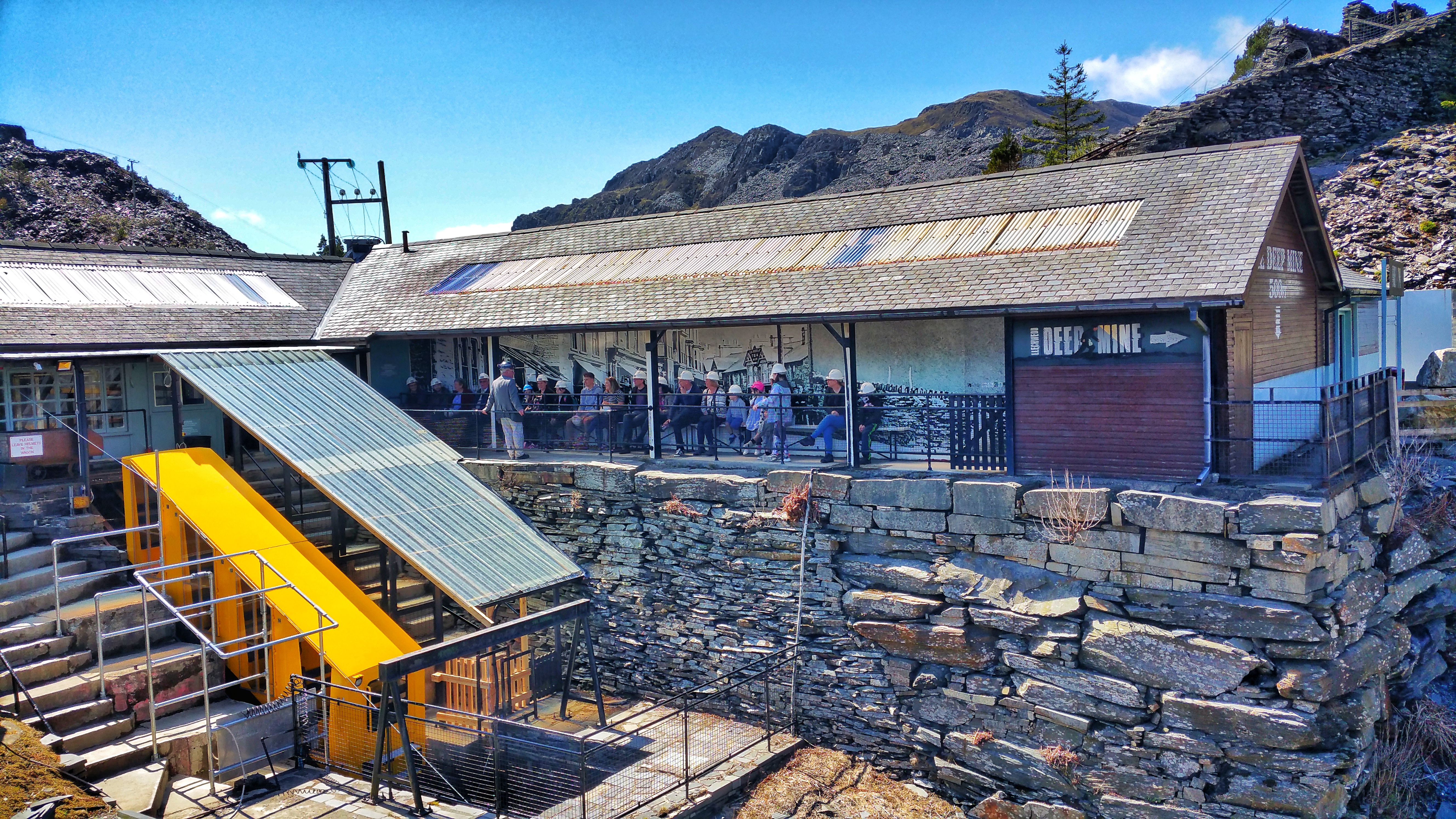
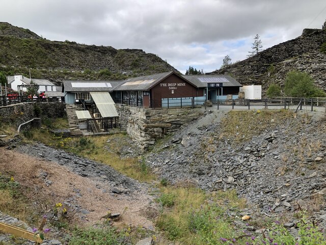
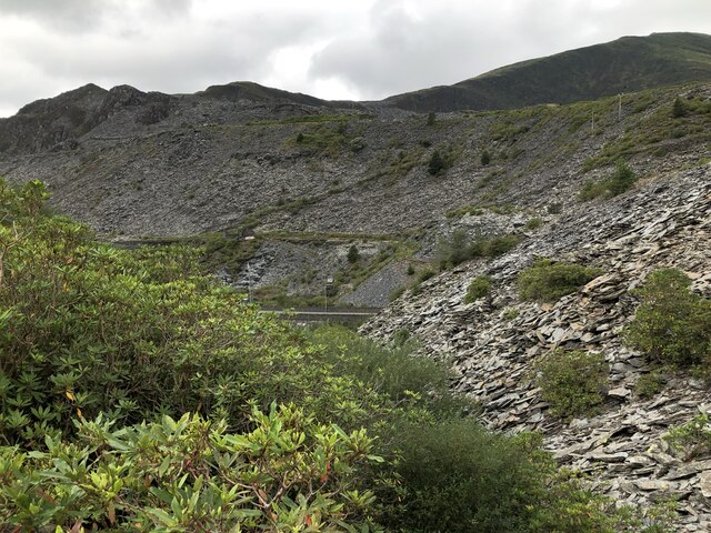
Llechwedd Slate Caverns
Llechwedd (Welsh pronunciation: [ɬɛχˈwɛð]) is a visitor attraction near Blaenau Ffestiniog, Gwynedd, Wales. It details the history of slate quarrying in...

Blaenau Ffestiniog (Pantyrafon) railway station
Blaenau Ffestiniog (Pantyrafon) was the London and North Western Railway's (LNWR) first passenger station in Blaenau Ffestiniog, then in Merionethshire...

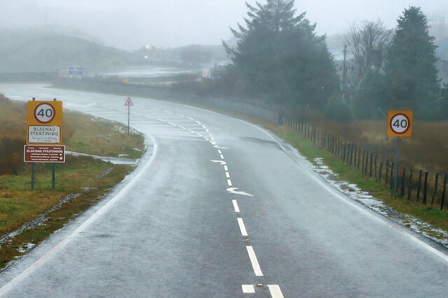
Crimea Pass
The Crimea Pass (Welsh: Bwlch y Gorddinan) is a mountain pass in North Wales, on the A470 road between Blaenau Ffestiniog and Dolwyddelan connecting the...
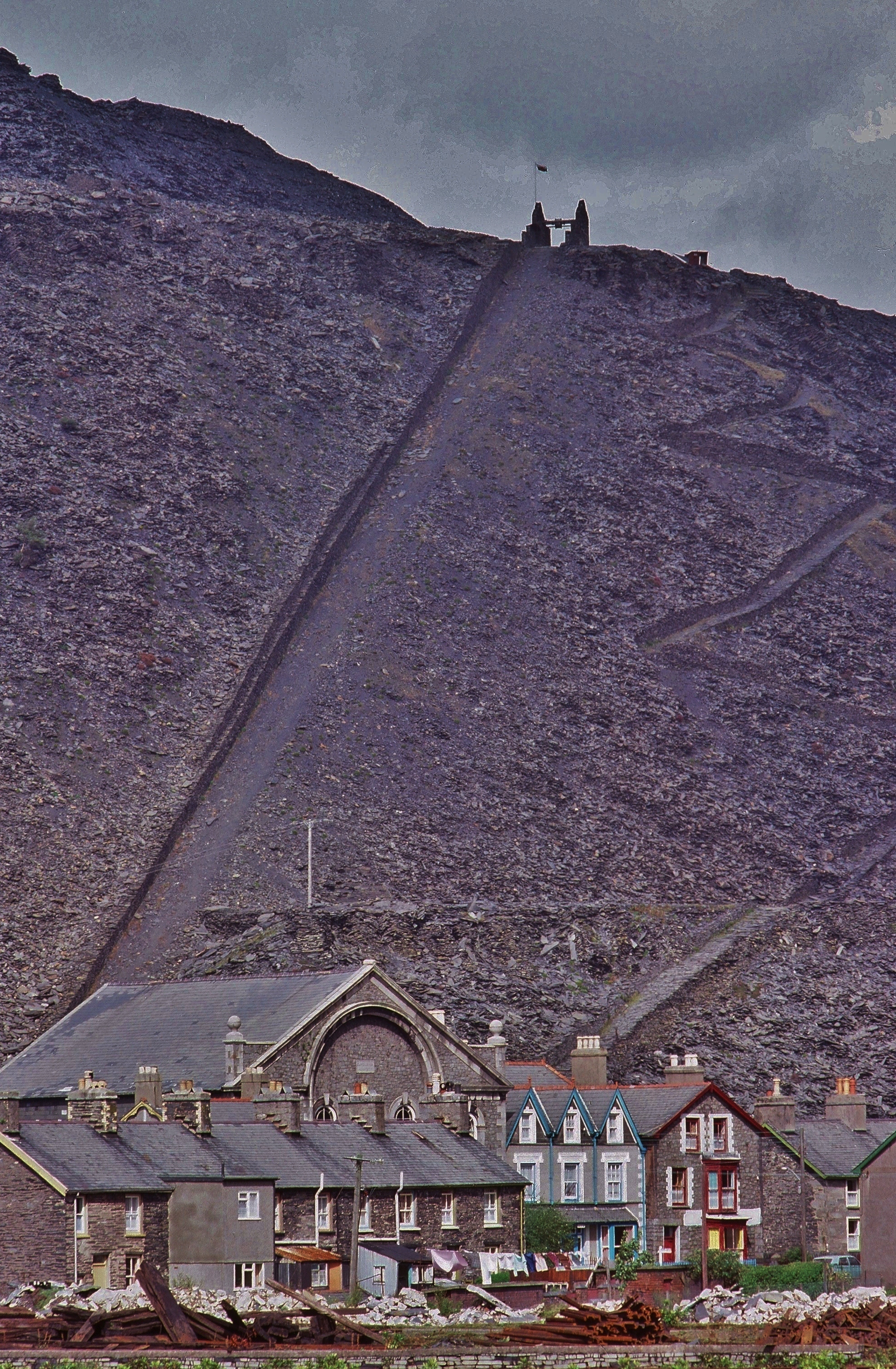
Oakeley quarry
Oakeley quarry is a slate quarry in the town of Blaenau Ffestiniog, north Wales. It was the largest underground slate mine in the world, and had 26 floors...
Related Videos

ALLT FAWR | Bank Holiday Sunday August 2019 | Snowdonia National Park
Mixture of video, timelapse and hyperlapse clips from Bank Holiday Sunday on Allt Fawr and surrounding mountains in ...

Ghosts in the Welsh Hills. Blaenau Ffestiniog
Patreon: https://www.patreon.com/sortofinteresting My boat life books: https://amzn.to/45UhQd7 My AudioBook: ...
Blaenau Rhyd y Sarn Dually circular walk Tanygrisiau
blaenau #rhydysarn #dduallt #tanigrisiau #circularwalk #hike #walkwales.

Ruby's first holiday | Day 2 | Sofia (Supermomma) from Takis Shelter
Day 2 of Ruby`s first Holiday - Today we visit a waterfall Thundershirt - Thundershirt Anxiety Coat for Dog ...
Nearby Amenities
Located within 500m of 53.013901,-3.9464244Have you been to Llyn Ffridd-y-bwlch?
Leave your review of Llyn Ffridd-y-bwlch below (or comments, questions and feedback).