Cilgerran
Community in Pembrokeshire
Wales
Cilgerran

Cilgerran is a small community located in the county of Pembrokeshire, Wales. It is situated on the eastern bank of the River Teifi, about 3 miles upstream from Cardigan. The village is known for its picturesque setting, nestled within the beautiful Teifi Valley and surrounded by rolling hills and lush countryside.
Cilgerran has a rich history, with evidence of human settlement in the area dating back to the Iron Age. The most prominent landmark in the community is Cilgerran Castle, a 13th-century fortress that overlooks the river and offers stunning views of the surrounding landscape. The castle is managed by Cadw, the Welsh historic environment service, and attracts visitors from near and far.
The village itself is a charming place, with a close-knit community and a range of amenities to cater to residents and visitors. It has a primary school, a village hall, a post office, and a few local shops and businesses. There are also several pubs and restaurants where visitors can enjoy a meal or a drink.
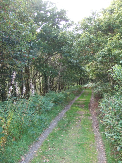
Cilgerran is a popular destination for outdoor enthusiasts, as it offers numerous opportunities for walking, hiking, and exploring the natural beauty of the area. The nearby Teifi Marshes Nature Reserve, managed by the Wildlife Trust of South and West Wales, is a haven for wildlife and provides a tranquil setting for nature lovers.
Overall, Cilgerran is a picturesque and historic community that offers a peaceful retreat for those seeking a break from the hustle and bustle of city life.
If you have any feedback on the listing, please let us know in the comments section below.
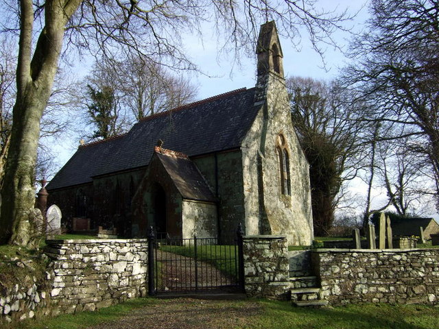
Cilgerran Images
Images are sourced within 2km of 52.045137/-4.707392 or Grid Reference SN1441. Thanks to Geograph Open Source API. All images are credited.


Cilgerran is located at Grid Ref: SN1441 (Lat: 52.045137, Lng: -4.707392)
Unitary Authority: Pembrokeshire
Police Authority: Dyfed-Powys
What 3 Words
///concluded.vented.fluffed. Near Cardigan, Ceredigion
Nearby Locations
Related Wikis

Llantood
Llantood (formerly Llantyd, Llantwyd or Llan-Illtyd) is a hamlet and parish in Cilgerran community, north Pembrokeshire, Wales. == Location == Llantood...
Monington, Pembrokeshire
Monington (Welsh: Eglwys Wythwr) is a small settlement and parish in the community of Nevern, north Pembrokeshire, Wales. It is on the Nant Ceibwr (Ceibwr...
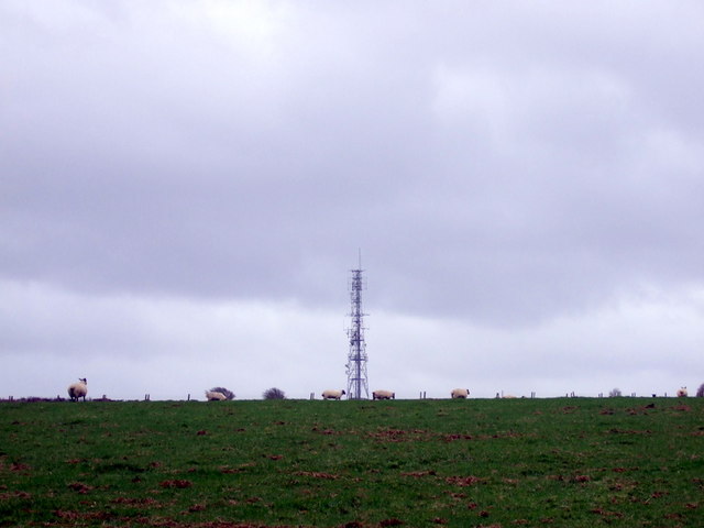
Cardigan transmitting station
The Cardigan transmitting station is a broadcasting and telecommunications facility located at Penwaun in Pembrokeshire, Wales, about 3 km to the south...

St Dogmells Rural District
St Dogmells was a rural district in the administrative county of Pembrokeshire, Wales from 1894 to 1934. == Formation == The district was created by the...

Bridell
Bridell (Welsh: Y Bridell) is a small settlement and parish in north Pembrokeshire, Wales. The parish includes the village of Pen-y-bryn. Together with...
Pengelli National Nature Reserve
Pengelli National Nature Reserve is part of the largest block of ancient oak woodland in West Wales. It has survived for hundreds of years, despite being...

Eglwyswrw
Eglwyswrw [ɛɡlʊɨˈsuːrʊ] is a village, community and parish in the former Cantref of Cemais, Pembrokeshire, Wales. The village lies between Newport and...

Ceibwr Bay
Ceibwr Bay (Welsh: Bae Ceibwr) is a bay opening into the Irish Sea in Pembrokeshire, west Wales. It is about 7 km west of Cardigan, and 3 km south of the...
Nearby Amenities
Located within 500m of 52.045137,-4.707392Have you been to Cilgerran?
Leave your review of Cilgerran below (or comments, questions and feedback).