Cilcain
Community in Flintshire
Wales
Cilcain

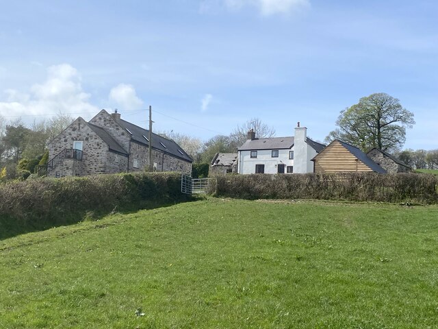
Cilcain is a charming community located in the county of Flintshire, in northeastern Wales. Situated at the foothills of the Clwydian Range, this picturesque village offers a serene and idyllic setting for residents and visitors alike. The community is located about 6 miles southwest of the town of Mold and sits at an elevation of around 850 feet.
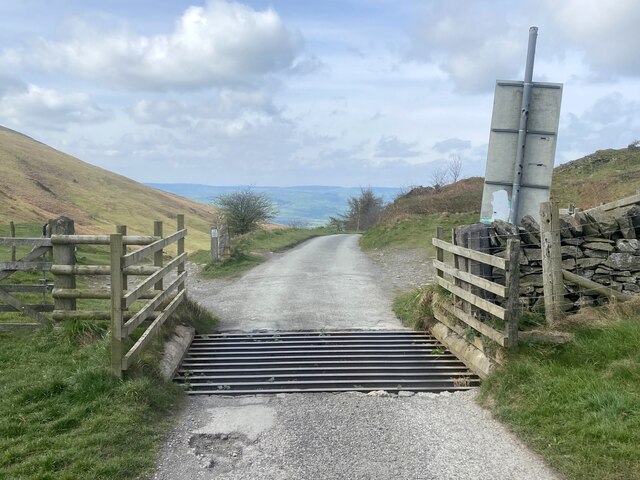
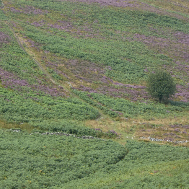
Cilcain is known for its stunning natural beauty, with rolling hills, lush greenery, and panoramic views of the surrounding countryside. The village is surrounded by breathtaking landscapes, making it a popular destination for outdoor enthusiasts, hikers, and nature lovers. The nearby Moel Famau, the highest peak in the Clwydian Range, offers fantastic hiking trails and magnificent vistas.
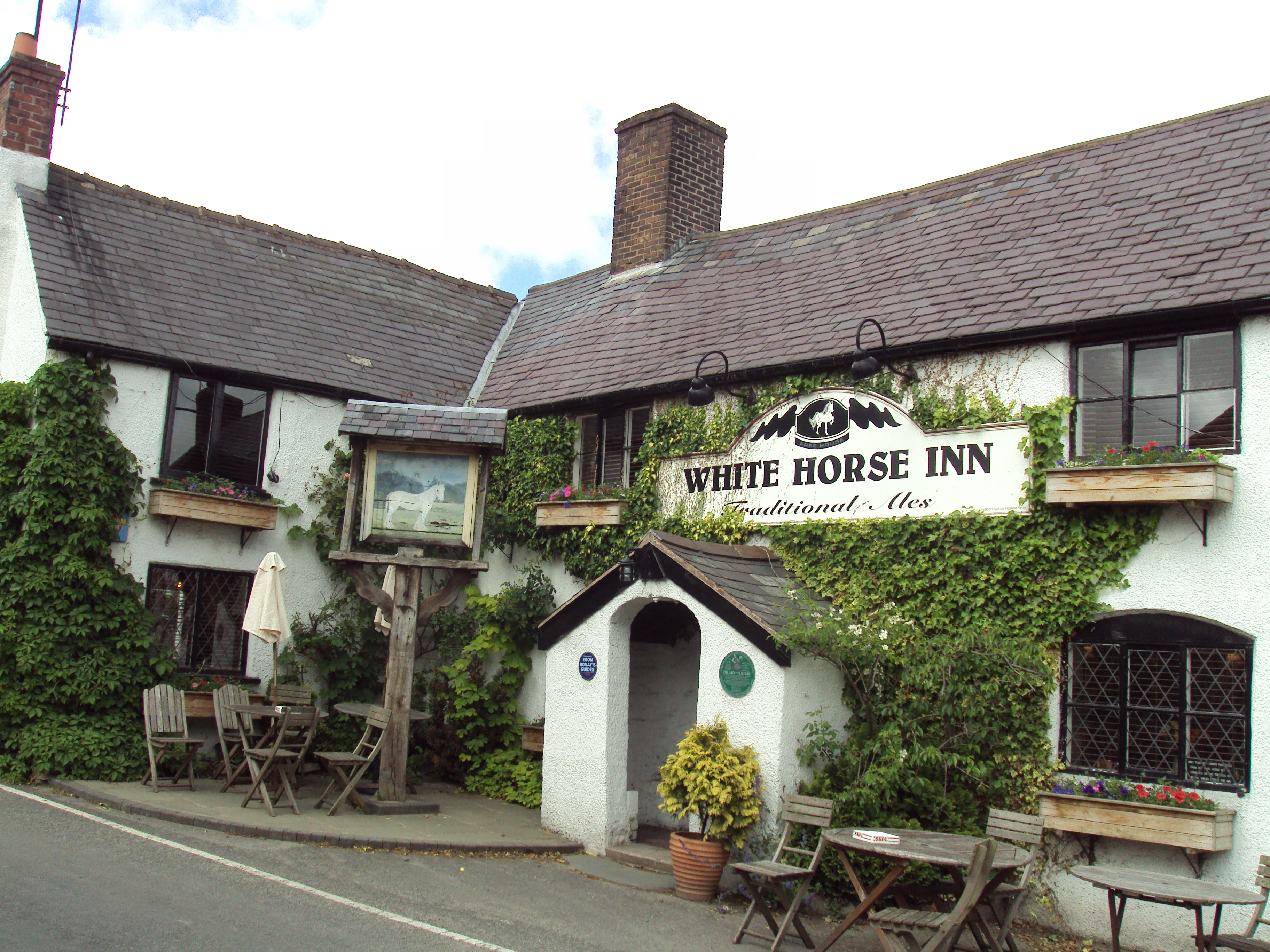
Despite its small size, Cilcain has a close-knit community with a strong sense of pride in its heritage. The village is home to a beautiful 13th-century church, St. Mary's, which is a significant historical landmark. The community also has a primary school, a village hall, and a pub, providing essential amenities for its residents.
Throughout the year, Cilcain hosts various events and festivals that showcase its rich cultural heritage. The Cilcain Show, held annually in August, is a popular agricultural show featuring livestock competitions, crafts, food stalls, and entertainment for all ages.
Overall, Cilcain offers a tranquil escape from the hustle and bustle of city life, providing a peaceful and picturesque retreat in the heart of Flintshire.
If you have any feedback on the listing, please let us know in the comments section below.
Cilcain Images
Images are sourced within 2km of 53.173665/-3.252633 or Grid Reference SJ1664. Thanks to Geograph Open Source API. All images are credited.


Cilcain is located at Grid Ref: SJ1664 (Lat: 53.173665, Lng: -3.252633)
Unitary Authority: Flintshire
Police Authority: North Wales
What 3 Words
///peroxide.viewer.structure. Near Halkyn, Flintshire
Nearby Locations
Related Wikis

Clwydian Range
The Clwydian Range (Welsh: Bryniau Clwyd; also known as the Clwydian Hills; or simply the Clwyds) is a series of hills in the north-east of Wales that...
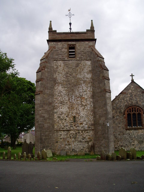
St Mary's Church, Cilcain
St Mary's Church, Cilcain, is in the village of Cilcain, Flintshire, Wales. It is an active Anglican church in the Bro Famau group of parishes, in the...
Cilcain
Cilcain is a village and community, near Mold in Flintshire, north-east Wales. The village has an industrial history and includes the Millennium Woods...
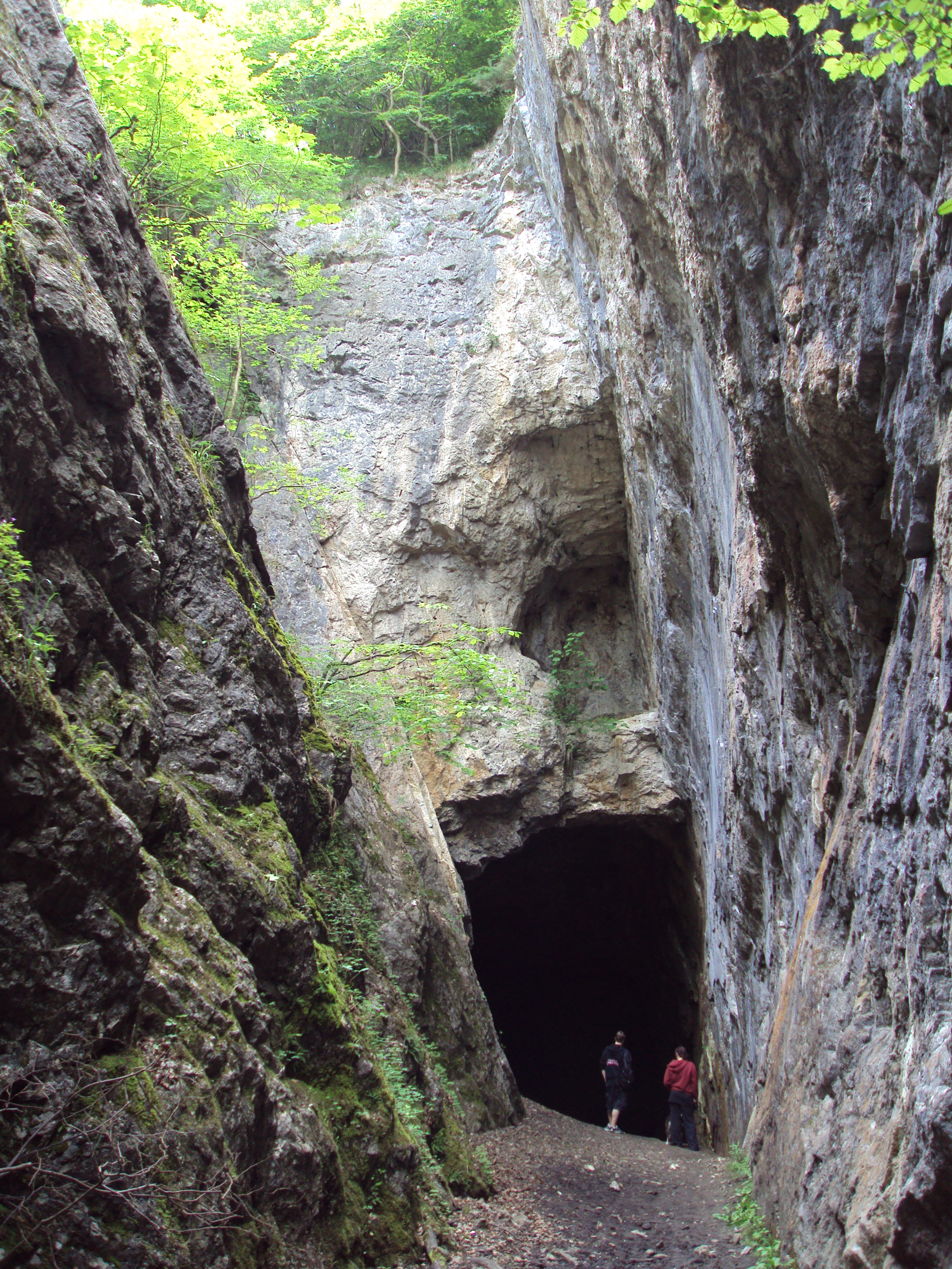
Alyn Valley Woods and Alyn Gorge Caves
Alyn Valley Woods and Alyn Gorge Caves is a Site of Special Scientific Interest on the border of Flintshire and Denbighshire in north Wales. Most of the...
Nearby Amenities
Located within 500m of 53.173665,-3.252633Have you been to Cilcain?
Leave your review of Cilcain below (or comments, questions and feedback).