Cenarth

Community in Carmarthenshire

Wales

Cenarth

Ordnance Survey Cut Mark This OS cut mark can be found on the east parapet of Wedwst Bridge. It marks a point 62.082m above mean sea level.
Ordnance Survey Cut Mark Credit: Adrian Dust

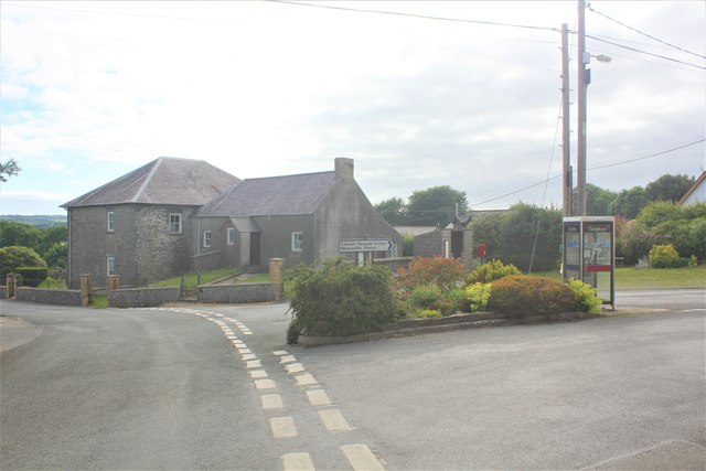
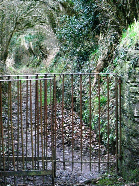
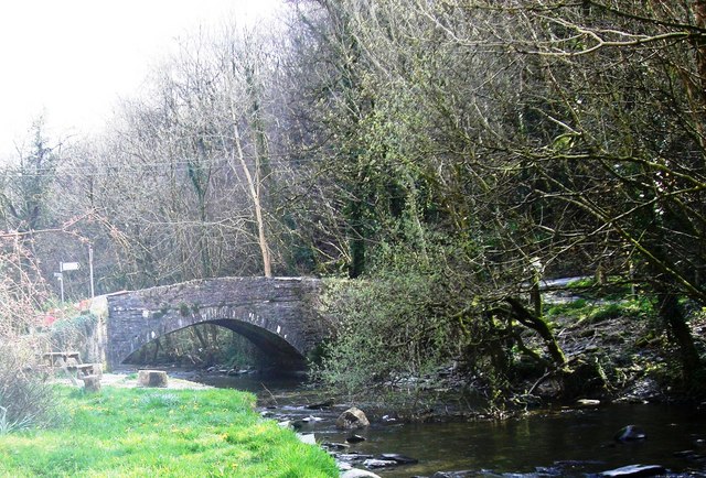
Cenarth is a small community located in Carmarthenshire, Wales. It is known for its picturesque scenery, with the River Teifi running through the village and the famous Cenarth Falls nearby. The village is surrounded by lush green countryside, making it a popular destination for outdoor enthusiasts and nature lovers.

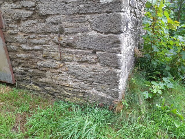
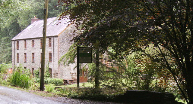
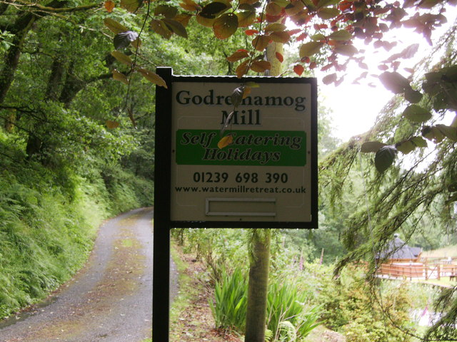
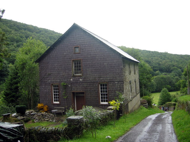
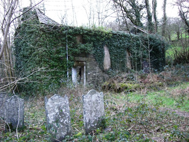
Cenarth is also known for its rich history, with several historic buildings and landmarks scattered throughout the area. The village is home to a 200-year-old watermill, which has been restored and is now open to visitors. There is also a 12th-century church in the village, adding to its charm and character.

In addition to its natural beauty and historic attractions, Cenarth is also known for its strong sense of community. The village has a small but close-knit population, with residents who take pride in their surroundings and work together to maintain the village's charm.

Overall, Cenarth is a tranquil and idyllic village in Carmarthenshire, offering a perfect escape from the hustle and bustle of modern life. Whether you are looking to explore the great outdoors, learn about the area's history, or simply relax in a peaceful setting, Cenarth has something to offer for everyone.

If you have any feedback on the listing, please let us know in the comments section below.
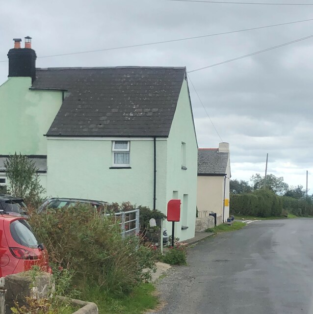
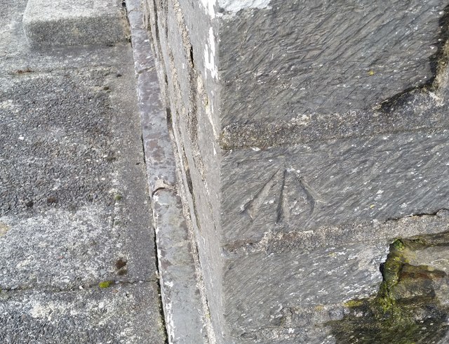
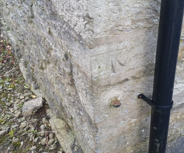
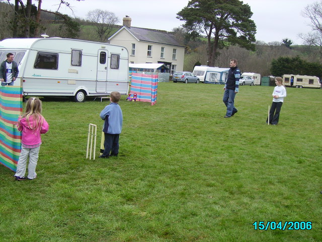
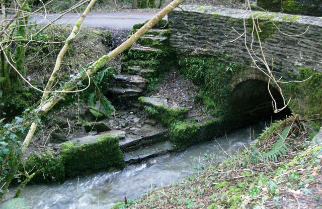
Cenarth Images

Images are sourced within 2km of 52.008336/-4.487715 or Grid Reference SN2937. Thanks to Geograph Open Source API. All images are credited.

Ordnance Survey Cut Mark This OS cut mark can be found on the east parapet of Wedwst Bridge. It marks a point 62.082m above mean sea level.
Ordnance Survey Cut Mark
This OS cut mark can be found on the east parapet of Wedwst Bridge. It marks a point 62.082m above mean sea level.
House and postbox at Penrherber
Stone gatepost on its side There is an Ordnance Survey cut mark on the stone. <a title="https://www.geograph.org.uk/photo/7535368" href="https://www.geograph.org.uk/photo/7535368">Link</a>
Stone gatepost on its side
There is an Ordnance Survey cut mark on the stone. Link
Ordnance Survey Cut Mark This OS cut mark can be found on the stone gatepost on its side SW side of the road. It marked a point 247.796m above mean sea level. <a title="https://www.geograph.org.uk/photo/7535365" href="https://www.geograph.org.uk/photo/7535365">Link</a>
Ordnance Survey Cut Mark
This OS cut mark can be found on the stone gatepost on its side SW side of the road. It marked a point 247.796m above mean sea level. Link
Ordnance Survey Cut Mark This OS cut mark can be found on the wall south side of the road. It marks a point 173.782m above mean sea level.
Ordnance Survey Cut Mark
This OS cut mark can be found on the wall south side of the road. It marks a point 173.782m above mean sea level.
Ordnance Survey Cut Mark This OS cut mark can be found on the roadside building at Gelynen. It marks a point 160.959m above mean sea level.
Ordnance Survey Cut Mark
This OS cut mark can be found on the roadside building at Gelynen. It marks a point 160.959m above mean sea level.
Ordnance Survey Cut Mark This OS cut mark can be found on the gatepost south side of the road. It marks a point 179.924m above mean sea level.
Ordnance Survey Cut Mark
This OS cut mark can be found on the gatepost south side of the road. It marks a point 179.924m above mean sea level.
Godremamog Mill Self catering holidays in a genuine mill with a water wheel!
Godremamog Mill
Self catering holidays in a genuine mill with a water wheel!
Godremamog Mill Advertising sign for the Mill, on side of road.
Godremamog Mill
Advertising sign for the Mill, on side of road.
Capel Reheboth Chapel Cyn Capel Reheboth, addoldy'r Bedyddwyr a adeiladwyd yn gyntaf yn 1808. Ailadeiladwyd y capel yn 1859 ac fe'i caewyd cyn 1998. Mae'n bellach yn anhedd-dy.

The former Reheboth Baptist Chapel was first built in 1808. Rebuilt in 1859 it closed before 1998. It is today a private residence.
Capel Reheboth Chapel
Cyn Capel Reheboth, addoldy'r Bedyddwyr a adeiladwyd yn gyntaf yn 1808. Ailadeiladwyd y capel yn 1859 ac fe'i caewyd cyn 1998. Mae'n bellach yn anhedd-dy. The former Reheboth Baptist Chapel was first built in 1808. Rebuilt in 1859 it closed before 1998. It is today a private residence.
Capel Iwan Chapel & Village Square The Chapel, wall, iron railings and gates are grade 2 listed, The Capel Iwan Square is actually trianglular in shape and has a modern telephone box and well planted flower bed adjacent. There is a war memorial on the square.
Capel Iwan Chapel & Village Square
The Chapel, wall, iron railings and gates are grade 2 listed, The Capel Iwan Square is actually trianglular in shape and has a modern telephone box and well planted flower bed adjacent. There is a war memorial on the square.
Ordnance Survey Cut Mark This OS cut mark can be found on the east face of the school. It marks a point 146.249m above mean sea level.
Ordnance Survey Cut Mark
This OS cut mark can be found on the east face of the school. It marks a point 146.249m above mean sea level.
Ordnance Survey Cut Mark This OS cut mark can be found on the east face of the chapel. It marks a point 156.638m above mean sea level.
Ordnance Survey Cut Mark
This OS cut mark can be found on the east face of the chapel. It marks a point 156.638m above mean sea level.
Ordnance Survey Cut Mark This OS cut mark can be found on Pleasant View. It marks a point 168.285m above mean sea level.
Ordnance Survey Cut Mark
This OS cut mark can be found on Pleasant View. It marks a point 168.285m above mean sea level.
Dolbryn caravan site Getting a few overs in before lunch at Dolbryn ,Newcastle Emlyn.
Dolbryn caravan site
Getting a few overs in before lunch at Dolbryn ,Newcastle Emlyn.
Capel Iwan These steps were used to baptise in the Afon Mamog.  The now ruined chapel is nearby.
Capel Iwan
These steps were used to baptise in the Afon Mamog. The now ruined chapel is nearby.
Capel Iwan Ruined chapel close to the baptising steps on the Afon Mamog.
Capel Iwan
Ruined chapel close to the baptising steps on the Afon Mamog.
Capel Iwan Public footpath leading down hill to the Afon Mamog.
Capel Iwan
Public footpath leading down hill to the Afon Mamog.
Show me another place!

Cenarth is located at Grid Ref: SN2937 (Lat: 52.008336, Lng: -4.487715)

Unitary Authority: Carmarthenshire

Police Authority: Dyfed-Powys

What 3 Words

///geologist.chain.bond. Near Newcastle Emlyn, Ceredigion

Nearby Locations

Cenarth

Related Wikis

Roman Catholic Diocese of Menevia

The Diocese of Menevia (Latin: Dioecesis Menevensis) is a Latin Church diocese of the Catholic Church in Wales. It is one of two suffragan dioceses in...

Pont Cych

Pont Cych is a single-arch, Grade II-listed bridge over Afon Cych at Cwmcych in the Cych Valley, bordering Carmarthenshire and Pembrokeshire, Wales....

Cwmcych

Cwmcych, Cwm Cych or Glyn Cuch (Welsh for 'Valley of the river Cych') is a small village in the upper Cych valley straddling the border between Carmarthenshire...

Ysgol Gyfun Emlyn

Ysgol Gyfun Emlyn is a mixed, community comprehensive school in Newcastle Emlyn, Carmarthenshire, Wales. It has around 520 pupils, catering for all abilities...

Related Videos

Penwern Fach Cottages in Cenarth 🏘️

Penwern Fach cottages are a group of 6 charming cottages converted from original stone farm buildings set in rolling Welsh ...

A Village Filled With Peace And Waterfalls | Cenarth Waterfalls Walk

Another chill day for us! We ended up getting to Cenarth a little late due to personal issues but the sun was shinning and there ...

"Recuerdos de la Alhambra". Tarrega's tremolo masterpiece played out in nature.

Guitar tremolo technique exemplified in Francisco Tarrega's classical guitar masterpiece "Recuerdos de la Alhambra". I was on a ...

Nearby Amenities

Located within 500m of 52.008336,-4.487715
Place: farm
Lat/Long: 52.0063029/-4.4813571
Give Way
Direction: backward
Lat/Long: 52.0107883/-4.4853527
Give Way
Direction: forward
Lat/Long: 52.0106899/-4.4854467
Give Way
Direction: backward
Lat/Long: 52.0069148/-4.4851154
The data included in this document is from www.openstreetmap.org. The data is made available under ODbL.

Have you been to Cenarth?

Leave your review of Cenarth below (or comments, questions and feedback).