Aberteifi
Community in Cardiganshire
Wales
Aberteifi
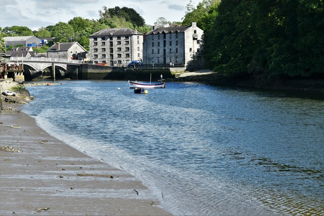
Aberteifi, also known as Cardigan, is a small community located in the county of Ceredigion, Wales. Situated on the west coast of Wales, it lies on the banks of the River Teifi, which gives the town its name. With a population of around 4,100 people, Aberteifi is the second-largest town in Ceredigion.
Aberteifi has a rich history that can be traced back to the 11th century when it was established as a Norman fortification. The town later became an important trading port, thriving on industries such as shipbuilding and fishing. Today, Aberteifi is known for its picturesque setting and charming Georgian and Victorian architecture.
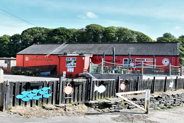
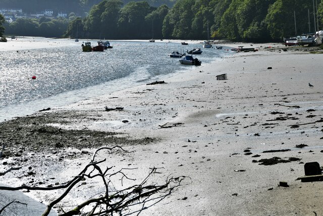
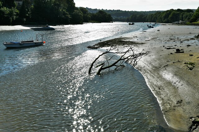
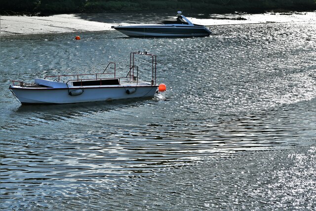
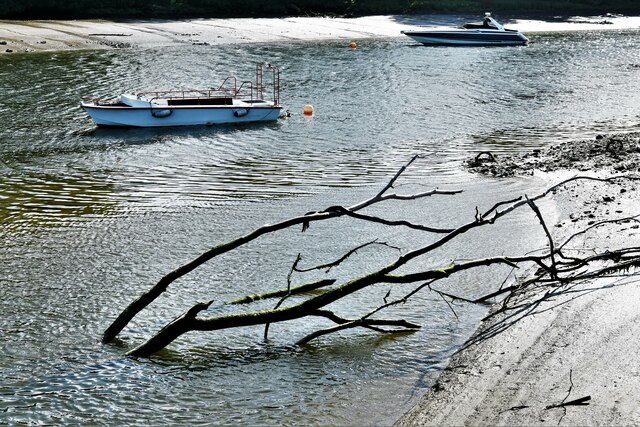
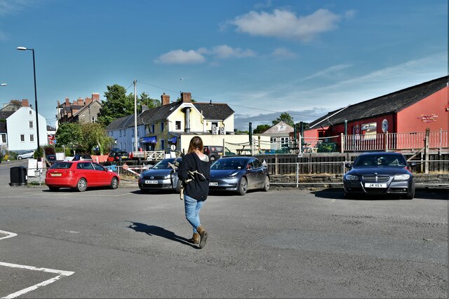
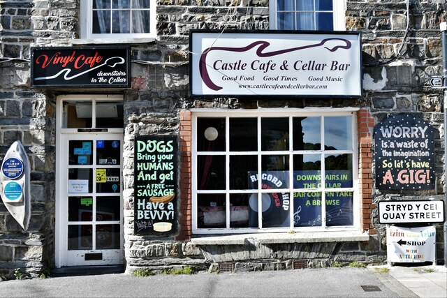
The town offers a range of amenities and attractions for both residents and visitors. The high street is lined with independent shops, cafes, and restaurants, providing a unique shopping and dining experience. The River Teifi is a popular spot for water activities such as kayaking, fishing, and wildlife spotting.
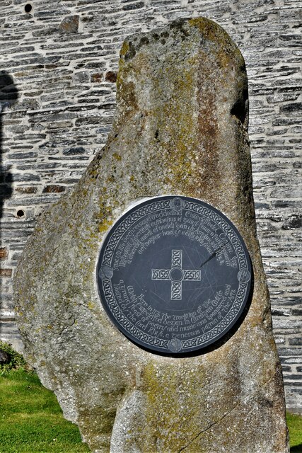
Aberteifi is also home to several historical landmarks, including Cardigan Castle, a medieval fortress that has been restored and opened to the public. The town's rich cultural heritage is celebrated through various events and festivals, such as the Cardigan Bay Seafood Festival and the Cardigan River & Food Festival.
The community boasts excellent transportation links, with regular bus services connecting Aberteifi to neighboring towns and cities. It is also conveniently located near the beautiful Welsh coastline, offering easy access to stunning beaches and coastal walks.
Overall, Aberteifi is a charming community that seamlessly blends history, natural beauty, and modern amenities, making it an attractive destination for both locals and tourists.
If you have any feedback on the listing, please let us know in the comments section below.
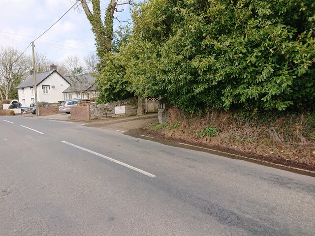
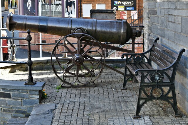
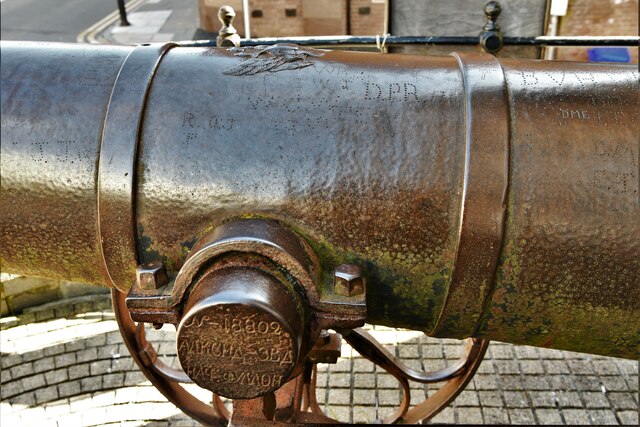
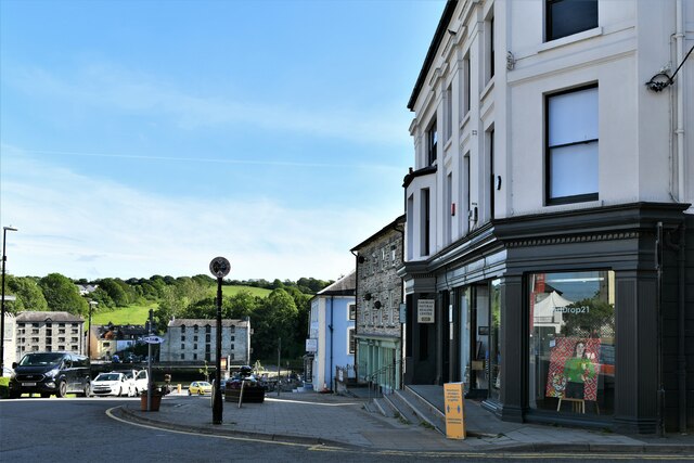
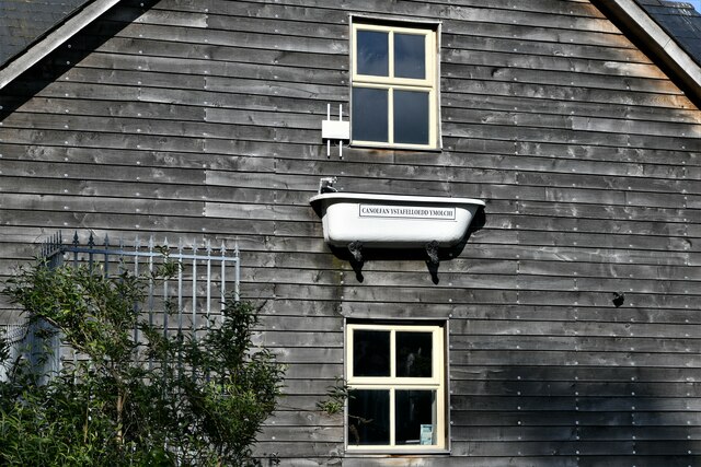
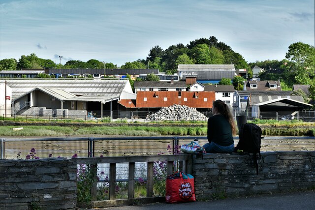
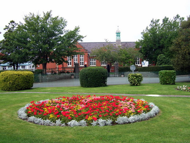
Aberteifi Images
Images are sourced within 2km of 52.088247/-4.655752 or Grid Reference SN1846. Thanks to Geograph Open Source API. All images are credited.
Aberteifi is located at Grid Ref: SN1846 (Lat: 52.088247, Lng: -4.655752)
Unitary Authority: Ceredigion
Police Authority: Dyfed-Powys
Also known as: Cardigan
What 3 Words
///padding.fakes.available. Near Cardigan, Ceredigion
Related Wikis
Ysgol Uwchradd Aberteifi
Ysgol Uwchradd Aberteifi, translated as Cardigan Secondary School is a bilingual secondary school in Cardigan, Ceredigion, Wales. It offers secondary education...
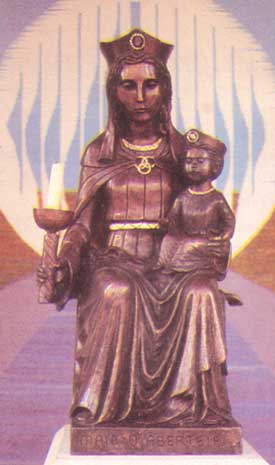
Our Lady of Cardigan
Our Lady of Cardigan (Welsh: Mair o Aberteifi), also known as Our Lady of the Taper, the Catholic national shrine of Wales, is a statue of the Blessed...

Ceibwr Bay Fault
The Ceibwr Bay Fault is a WSW-ENE trending fault zone that cuts Ordovician rocks of the Ashgill Nantmel Mudstones Formation and the Caradoc Dinas Island...
Cardigan County School
Cardigan County School is the name given to the endowed grammar school in Cardigan which was founded there in the mid seventeenth century. The Intermediate...

Cardigan, Ceredigion
Cardigan (Welsh: Aberteifi, pronounced [abɛrˈtəivɪ] ) is both a town and a community in the county of Ceredigion, Wales. Positioned on the tidal reach...

St Mary's Church, Cardigan
St Mary's Church is an Anglican church located in Cardigan, Ceredigion, Wales. In 1428, with the disappearance of Holy Trinity Church, St Mary's formally...
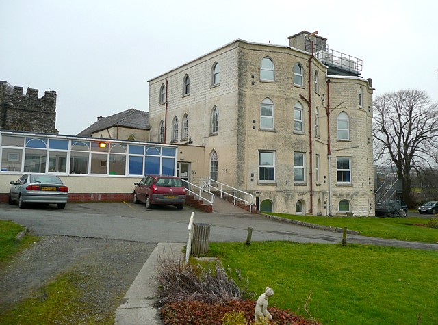
Cardigan and District Community Hospital
Cardigan and District Community Hospital (Welsh: Aberteifi a'r Cylch Ysbyty Cymunedol) was a community hospital in Cardigan, Ceredigion, Wales. It was...
Cardigan Priory
Cardigan Priory (formally: The Priory Church of Our Lady of Cardigan; alternative: Cardigan Cell) was a Benedictine priory located in Cardigan, Ceredigion...
Nearby Amenities
Located within 500m of 52.088247,-4.655752Have you been to Aberteifi?
Leave your review of Aberteifi below (or comments, questions and feedback).