Capel Curig
Community in Caernarfonshire
Wales
Capel Curig

Capel Curig is a small community located in the county of Caernarfonshire in North Wales. It is situated in the Snowdonia National Park, surrounded by breathtaking natural beauty. The community covers an area of approximately 19 square kilometers and has a population of around 300 people.
The village of Capel Curig is nestled in the heart of Snowdonia, making it a popular destination for outdoor enthusiasts and nature lovers. The community is surrounded by stunning mountains, including Snowdon, the highest peak in Wales and England. This makes Capel Curig an ideal base for hikers, climbers, and mountaineers looking to explore the rugged landscapes of Snowdonia.
In addition to its natural beauty, Capel Curig also has a rich history. The village is named after a chapel that was built in the 19th century, which still stands today. The chapel played a significant role in the community, serving as a place of worship and a gathering place for locals.
Capel Curig offers a range of amenities to both residents and visitors. There are several accommodation options, including hotels, bed and breakfasts, and campsites. The community also has a few shops, cafes, and restaurants, providing essentials and dining options for those staying in the area.
Overall, Capel Curig is a picturesque community that offers a tranquil escape in the heart of Snowdonia. With its stunning natural surroundings and rich history, it is a must-visit destination for anyone seeking an authentic Welsh experience.
If you have any feedback on the listing, please let us know in the comments section below.
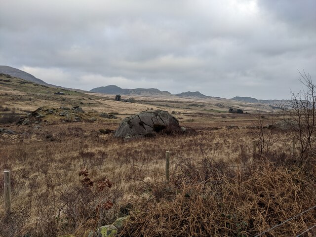
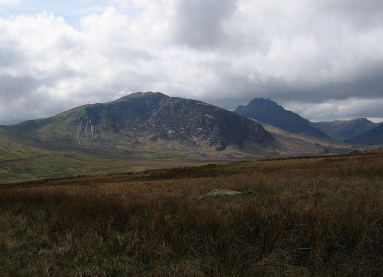
Capel Curig Images
Images are sourced within 2km of 53.108262/-3.941514 or Grid Reference SH7058. Thanks to Geograph Open Source API. All images are credited.


Capel Curig is located at Grid Ref: SH7058 (Lat: 53.108262, Lng: -3.941514)
Unitary Authority: Conwy
Police Authority: North Wales
What 3 Words
///overjoyed.reapply.birds. Near Betws-y-Coed, Conwy
Nearby Locations
Related Wikis
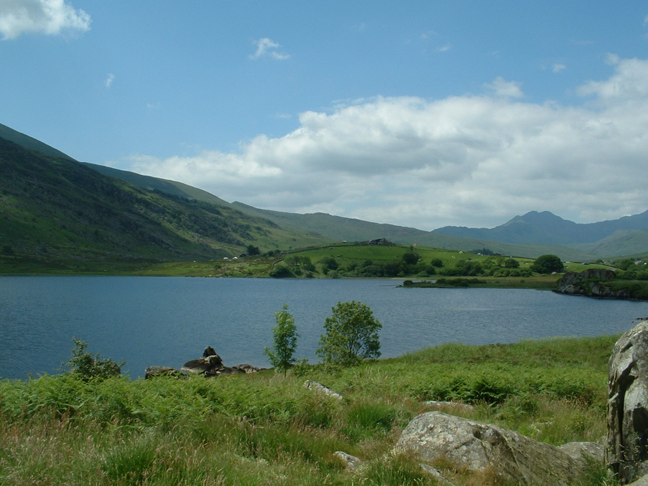
Llynnau Mymbyr
Llynnau Mymbyr are two lakes located in Dyffryn Mymbyr, a valley running from the village of Capel Curig to the Pen-y-Gwryd hotel in Snowdonia, north-west...

Dyffryn Mymbyr
Dyffryn Mymbyr is a valley in Snowdonia, in north-west Wales, approximately 5 miles (8.0 km) in length, and leading up from Capel Curig to the Pen-y-Gwryd...
Gallt yr Ogof
Gallt yr Ogof is a mountain in Snowdonia, North Wales. It is a subsidiary top of Glyder Fawr, and is the most easterly point in the Glyderau mountain range...

Plas y Brenin
Plas y Brenin, located in Conwy County Borough, Wales, is a National Outdoor Centre owned by Sport England. The centre is situated in Dyffryn Mymbyr, the...
Nearby Amenities
Located within 500m of 53.108262,-3.941514Have you been to Capel Curig?
Leave your review of Capel Curig below (or comments, questions and feedback).