Camrose

Community in Pembrokeshire

Wales

Camrose

Lane to Stockpark On a drizzly September evening.
Lane to Stockpark Credit: David Lally

The requested URL returned error: 429 Too Many Requests

If you have any feedback on the listing, please let us know in the comments section below.
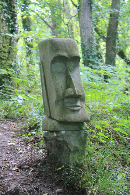
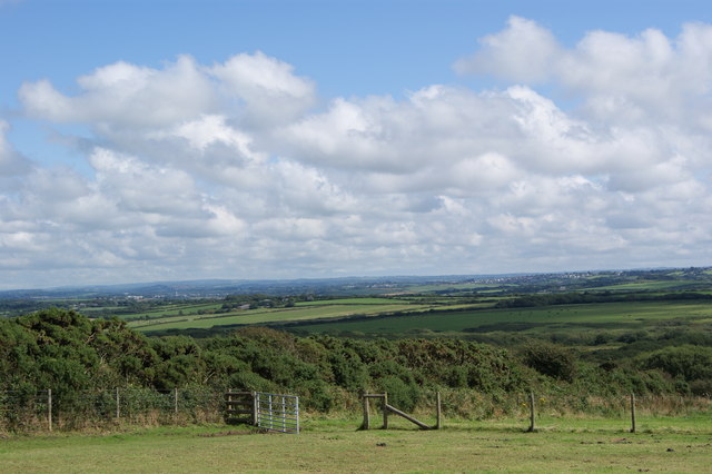
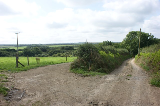
Camrose Images

Images are sourced within 2km of 51.832799/-5.06774 or Grid Reference SM8819. Thanks to Geograph Open Source API. All images are credited.

Lane to Stockpark On a drizzly September evening.
Lane to Stockpark
On a drizzly September evening.
Lane From Keeston Towards Summerhill Mill
Lane From Keeston
Towards Summerhill Mill
Road junction near Keeston This is the junction of the A487 leading to Haverfordwest and the minor road for Keeston and Camrose.
Road junction near Keeston
This is the junction of the A487 leading to Haverfordwest and the minor road for Keeston and Camrose.
Sculptured Head This sculptured head can be found in the woods beside the highest lake which is full of trout. The sculpture reminds you of Easter Island.
Sculptured Head
This sculptured head can be found in the woods beside the highest lake which is full of trout. The sculpture reminds you of Easter Island.
Bus shelter and stop, Simpson Cross Bus shelter and stop by the A487 at Simpson Cross.
Bus shelter and stop, Simpson Cross
Bus shelter and stop by the A487 at Simpson Cross.
View from Simpson Hill Farm near Simpsons Cross
A Horse on Simpsons Hill Farm
A487 at Simpson Cross boundary
A487 at Little Hilton Farm
Simpson South Farm Looking south-west down the farm drive from the road.
Simpson South Farm
Looking south-west down the farm drive from the road.
Ordnance Survey Flush Bracket 11508 This can be found on the wall of an old farm building at Kerrin Cottage.
For more detail see : <span class="nowrap"><a title="http://www.bench-marks.org.uk/bm22523" rel="nofollow ugc noopener" href="http://www.bench-marks.org.uk/bm22523">Link</a><img style="margin-left:2px;" alt="External link" title="External link - shift click to open in new window" src="https://s1.geograph.org.uk/img/external.png" width="10" height="10"/></span>
Ordnance Survey Flush Bracket 11508
This can be found on the wall of an old farm building at Kerrin Cottage. For more detail see : LinkExternal link
The lane to Keeston Moor Looking south towards Moor Hall.
The lane to Keeston Moor
Looking south towards Moor Hall.
Keeston Hill A spooky mist hung over the lower ground
Keeston Hill
A spooky mist hung over the lower ground
Renovation work at Roch Castle The castle was sold in 2008, the stonework has been cleaned and it is currently being renovated.

[2018 update: it is now a luxury hotel.  The castle dates from the 12th-13th centuries, but was ruined in the Civil War. From the hotel website <span class="nowrap"><a title="https://www.rochcastle.com/sites/default/files/hist/Archaeological.pdf" rel="nofollow ugc noopener" href="https://www.rochcastle.com/sites/default/files/hist/Archaeological.pdf">Link</a><img style="margin-left:2px;" alt="External link" title="External link - shift click to open in new window" src="https://s1.geograph.org.uk/img/external.png" width="10" height="10"/></span> "After falling into ruin in the Civil War] the castle was purchased by Sir John Wynford Philips in 1899, who was later to become Viscount St. Davids. He instigated large-scale restoration works in the first two decades
of the 20th century, including the addition of new floor levels within the main tower, which differed from the original levels, new stairs and the addition of a number of internal divisions to create new rooms. Between 1904 and 1910 a two storey extension was added to the north of the castle, which was raised to 3 storeys by 1920. Access from the original tower to the extension utilised the large fissure in the north wall of the castle...  A new entrance into the basement of the castle was added on the eastern side, again utilising an area of damage to the castle wall.

Roch Castle was purchased by the Griffiths-Roch foundation in 2009, and a new phase of restoration carried out. The repairs and alterations undertaken at the castle have been designed to ensure that the surviving medieval fabric is protected and consolidated. New additions to the structure have been designed with reversibility in mind, so that if necessary the new components could be removed with minimum disruption to earlier
fabric. The external repair of the medieval fabric has used matching Pennant sandstones and extensive use of hydraulic lime mortars. Internally, the masonry walls have been plastered with hemp lime plaster."]
Renovation work at Roch Castle
The castle was sold in 2008, the stonework has been cleaned and it is currently being renovated. [2018 update: it is now a luxury hotel. The castle dates from the 12th-13th centuries, but was ruined in the Civil War. From the hotel website LinkExternal link "After falling into ruin in the Civil War] the castle was purchased by Sir John Wynford Philips in 1899, who was later to become Viscount St. Davids. He instigated large-scale restoration works in the first two decades of the 20th century, including the addition of new floor levels within the main tower, which differed from the original levels, new stairs and the addition of a number of internal divisions to create new rooms. Between 1904 and 1910 a two storey extension was added to the north of the castle, which was raised to 3 storeys by 1920. Access from the original tower to the extension utilised the large fissure in the north wall of the castle... A new entrance into the basement of the castle was added on the eastern side, again utilising an area of damage to the castle wall. Roch Castle was purchased by the Griffiths-Roch foundation in 2009, and a new phase of restoration carried out. The repairs and alterations undertaken at the castle have been designed to ensure that the surviving medieval fabric is protected and consolidated. New additions to the structure have been designed with reversibility in mind, so that if necessary the new components could be removed with minimum disruption to earlier fabric. The external repair of the medieval fabric has used matching Pennant sandstones and extensive use of hydraulic lime mortars. Internally, the masonry walls have been plastered with hemp lime plaster."]
Picnic tables by the A487, Roch These picnic tables, offering fine views of the surrounding area, are located between the lay-by and the A487 near Roch.
Picnic tables by the A487, Roch
These picnic tables, offering fine views of the surrounding area, are located between the lay-by and the A487 near Roch.
St Mary's Church, Roch Neatly kept church at Roch. The building looks rather insignificant by comparison with the castle on the rock outcrop just across the road.
St Mary's Church, Roch
Neatly kept church at Roch. The building looks rather insignificant by comparison with the castle on the rock outcrop just across the road.
A487 at Roch village boundary
Roch Castle viewed from Simpson Cross The early morning sun illuminated the east walls
Roch Castle viewed from Simpson Cross
The early morning sun illuminated the east walls
Show me another place!

Camrose is located at Grid Ref: SM8819 (Lat: 51.832799, Lng: -5.06774)

Unitary Authority: Pembrokeshire

Police Authority: Dyfed-Powys

Also known as: Camros

What 3 Words

///cubes.oldest.texts. Near Camrose, Pembrokeshire

Related Wikis

Pembrokeshire Motor Museum

The Pembrokeshire Motor Museum used to exhibit a range of restored vintage cars. It was located at Simpson Cross, in Pembrokeshire, West Wales on the A487...

Pembrokeshire Coast National Park

Pembrokeshire Coast National Park (Welsh: Parc Cenedlaethol Arfordir Penfro) is a national park along the Pembrokeshire coast in west Wales. It was established...
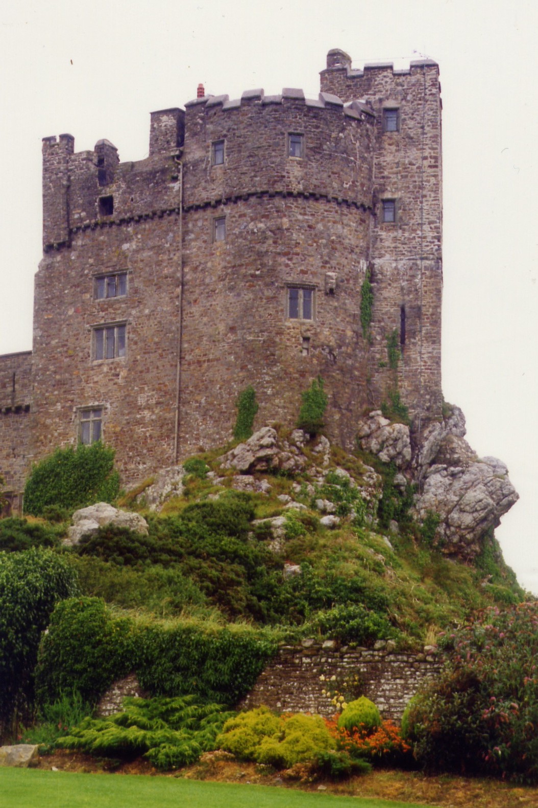
Roch Castle

Roch Castle (Welsh: Castell y Garn) is a 12th-century castle, located at Roch near Haverfordwest, Wales. Built by Norman knight Adam de Rupe in the second...

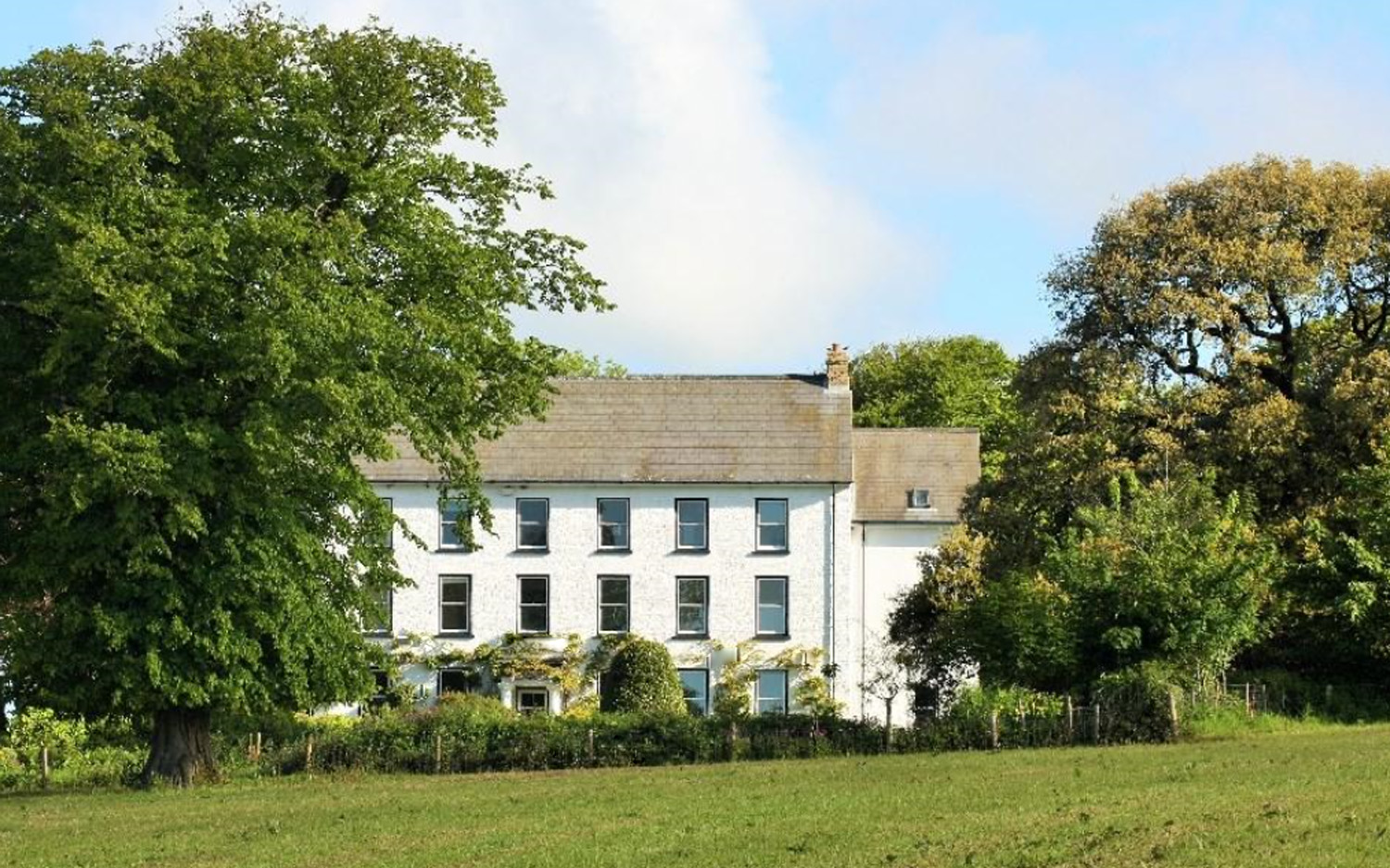
Cuffern Manor, Pembrokeshire

Cuffern Manor in Roch, Pembrokeshire is a house of historical significance and is listed on the Wales Heritage Register. It was built in 1770 by John Rees...

Nearby Amenities

Located within 500m of 51.832799,-5.06774
Simpson Cross
Place: village
Lat/Long: 51.8330887/-5.0637348
Turning Circle
Lat/Long: 51.833915/-5.0646568
Direction: 195
Generator Method: photovoltaic
Generator Output Electricity: yes
Generator Solar Modules: 12
Generator Source: solar
Generator Type: solar_photovoltaic_panel
Location: roof
Power: generator
Lat/Long: 51.8363072/-5.063614
Direction: 185
Generator Method: photovoltaic
Generator Output Electricity: yes
Generator Solar Modules: 16
Generator Source: solar
Generator Type: solar_photovoltaic_panel
Location: roof
Power: generator
Lat/Long: 51.8341549/-5.0627473
Direction: 175
Generator Method: photovoltaic
Generator Output Electricity: yes
Generator Solar Modules: 16
Generator Source: solar
Generator Type: solar_photovoltaic_panel
Location: roof
Power: generator
Lat/Long: 51.8344698/-5.063104
Direction: 195
Generator Method: photovoltaic
Generator Output Electricity: yes
Generator Solar Modules: 16
Generator Source: solar
Generator Type: solar_photovoltaic_panel
Location: roof
Power: generator
Lat/Long: 51.8342678/-5.0635905
Direction: 190
Generator Method: photovoltaic
Generator Output Electricity: yes
Generator Solar Modules: 16
Generator Source: solar
Generator Type: solar_photovoltaic_panel
Location: roof
Power: generator
Lat/Long: 51.834024/-5.0636002
Direction: 190
Generator Method: photovoltaic
Generator Output Electricity: yes
Generator Solar Modules: 16
Generator Source: solar
Generator Type: solar_photovoltaic_panel
Location: roof
Power: generator
Lat/Long: 51.8326359/-5.0634125
Direction: 190
Generator Method: photovoltaic
Generator Output Electricity: yes
Generator Solar Modules: 12
Generator Source: solar
Generator Type: solar_photovoltaic_panel
Location: roof
Power: generator
Lat/Long: 51.8328439/-5.0620446
Direction: 170
Generator Method: photovoltaic
Generator Output Electricity: yes
Generator Solar Modules: 18
Generator Source: solar
Generator Type: solar_photovoltaic_panel
Location: roof
Power: generator
Lat/Long: 51.8320578/-5.0617402
Direction: 145
Generator Method: photovoltaic
Generator Output Electricity: yes
Generator Solar Modules: 16
Generator Source: solar
Generator Type: solar_photovoltaic_panel
Location: roof
Power: generator
Lat/Long: 51.8323416/-5.0608805
Direction: SSW
Generator Method: photovoltaic
Generator Output Electricity: yes
Generator Solar Modules: 16
Generator Source: solar
Generator Type: solar_photovoltaic_panel
Location: roof
Power: generator
Lat/Long: 51.833177/-5.060977
Woodlands Edge
Place: farm
Lat/Long: 51.8334949/-5.0709495
Bus Stop
Bus: yes
Public Transport: platform
Shelter: yes
Lat/Long: 51.8331159/-5.0649085
Give Way
Direction: forward
Lat/Long: 51.8329403/-5.0641484
Give Way
Direction: backward
Lat/Long: 51.8330181/-5.0641664
Crossing
Crossing: unmarked
Crossing Island: no
Crossing Markings: no
Tactile Paving: yes
Lat/Long: 51.833109/-5.0641465
Crossing
Crossing: unmarked
Crossing Island: yes
Crossing Markings: no
Lat/Long: 51.8329462/-5.0638785
Bus Stop
Bus: yes
Public Transport: platform
Lat/Long: 51.832737/-5.0621486
The data included in this document is from www.openstreetmap.org. The data is made available under ODbL.

Have you been to Camrose?

Leave your review of Camrose below (or comments, questions and feedback).