Caerwys
Community in Flintshire
Wales
Caerwys
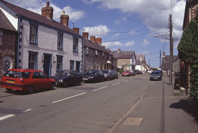
Caerwys is a small community located in Flintshire, Wales. It is known as one of the smallest towns in the area and has a population of around 1,300 residents. The town is situated on the River Wheeler and is surrounded by beautiful countryside, making it an attractive place for outdoor enthusiasts.
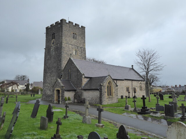
Caerwys has a rich history dating back to Roman times, with evidence of a Roman fort located nearby. The town was an important market town in the medieval period and still retains some of its historic buildings, including the Grade I listed parish church of St. Michael.
The town has a strong sense of community, with several local clubs and organizations providing opportunities for residents to socialize and get involved in community events. Caerwys also has a primary school, post office, and a few shops and pubs for residents to enjoy.
Overall, Caerwys is a charming and picturesque town with a rich history and a strong sense of community. It offers a peaceful and idyllic setting for residents to enjoy the beauty of the Welsh countryside.
If you have any feedback on the listing, please let us know in the comments section below.
Caerwys Images
Images are sourced within 2km of 53.255449/-3.317995 or Grid Reference SJ1273. Thanks to Geograph Open Source API. All images are credited.


Caerwys is located at Grid Ref: SJ1273 (Lat: 53.255449, Lng: -3.317995)
Unitary Authority: Flintshire
Police Authority: North Wales
What 3 Words
///trails.spicy.ruling. Near Whitford, Flintshire
Nearby Locations
Related Wikis

Caerwys
Caerwys is a town in Flintshire, Wales. It is just under two miles from the A55 North Wales Expressway and one mile from the A541 Mold-Denbigh road. At...

Caerwys Tufa
Caerwys Tufa is a Site of Special Scientific Interest in the preserved county of Clwyd, north Wales. Tufa, a very soft limestone that was once used to...
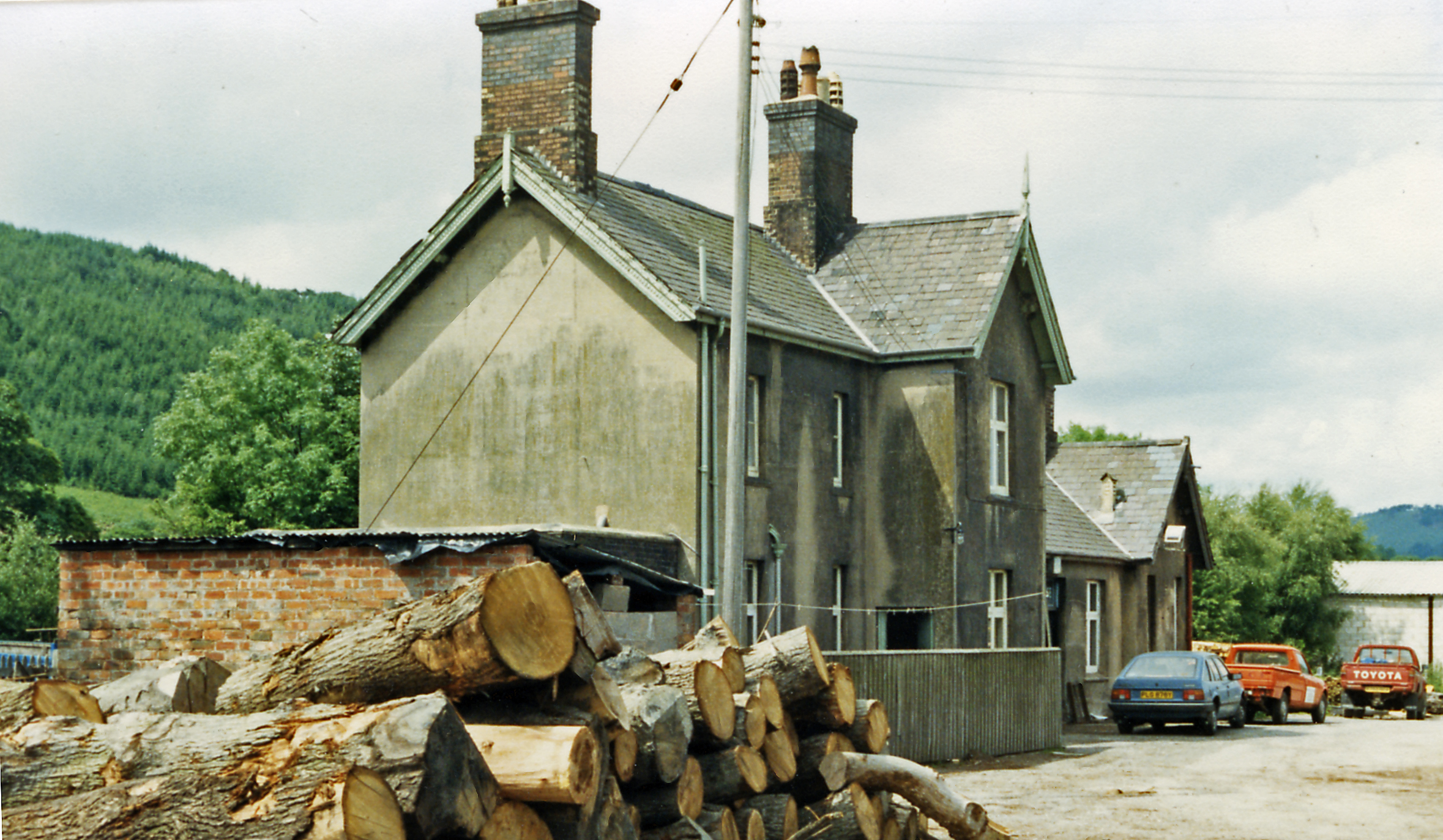
Caerwys railway station
Caerwys railway station was a station in Afonwen, Flintshire, Wales. The station was named for nearby Caerwys, opened on 6 September 1869 and closed on...
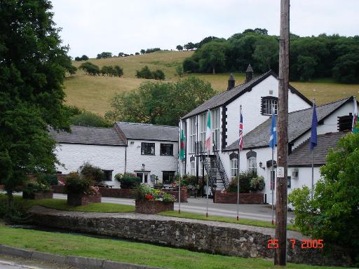
Afonwen
Afonwen ([ˌavɔnˈwɛn]; Welsh: Afon-wen) is a village in Flintshire, Wales. It is situated just under four miles from the A55 North Wales Expressway and...
Nearby Amenities
Located within 500m of 53.255449,-3.317995Have you been to Caerwys?
Leave your review of Caerwys below (or comments, questions and feedback).