Caer-went
Community in Monmouthshire
Wales
Caer-went
Caer-went is a small community located in the county of Monmouthshire, Wales. It is situated approximately 5 miles west of Chepstow and 10 miles east of Newport. The community covers an area of about 4 square miles and has a population of around 1,200 residents.
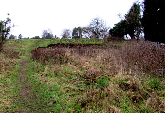
The area is known for its rich historical background, with Caer-went being the site of a Roman town called Venta Silurum. The remains of the Roman town are still visible today, including a well-preserved amphitheater, a forum, and a marketplace. These archaeological sites attract many visitors and have contributed to the community's reputation as an important historical location.
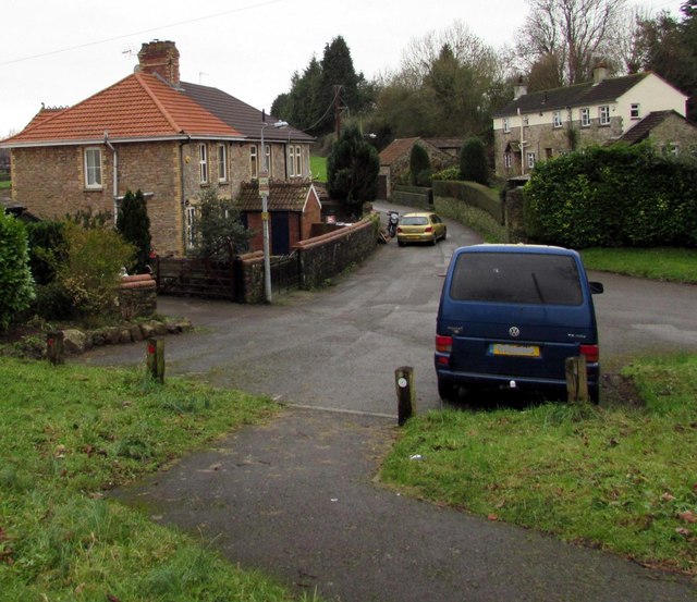
In addition to its historical significance, Caer-went is also known for its scenic surroundings. The community is surrounded by beautiful countryside, with rolling hills and farmland providing a picturesque backdrop. This makes it an ideal destination for outdoor activities such as hiking and cycling.
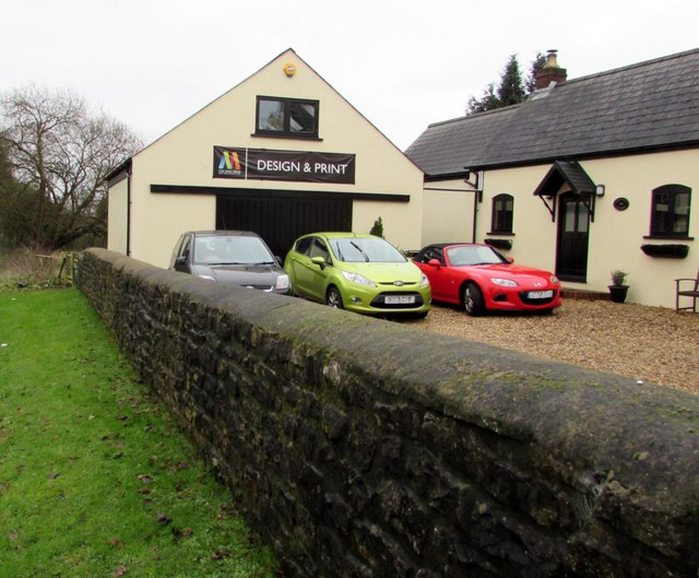
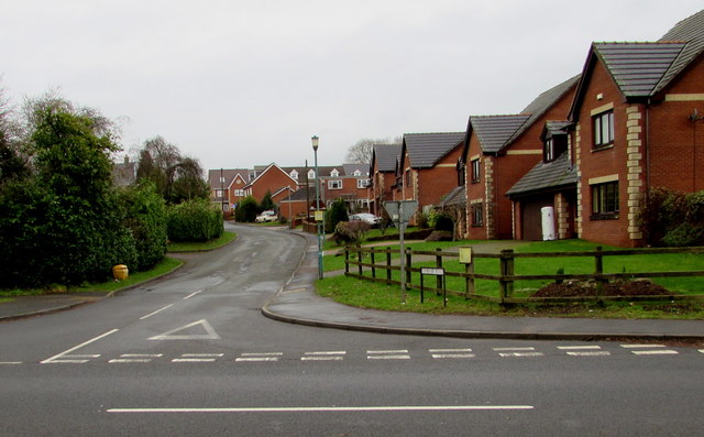
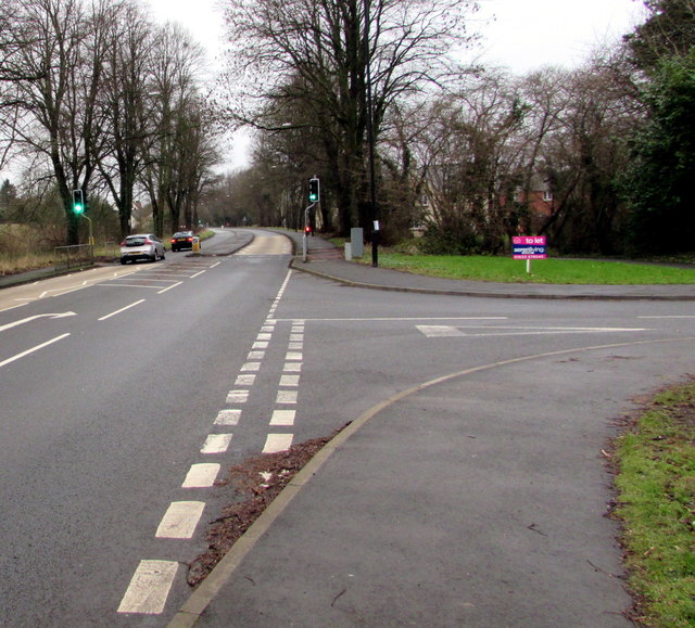
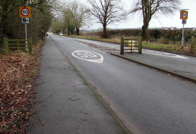
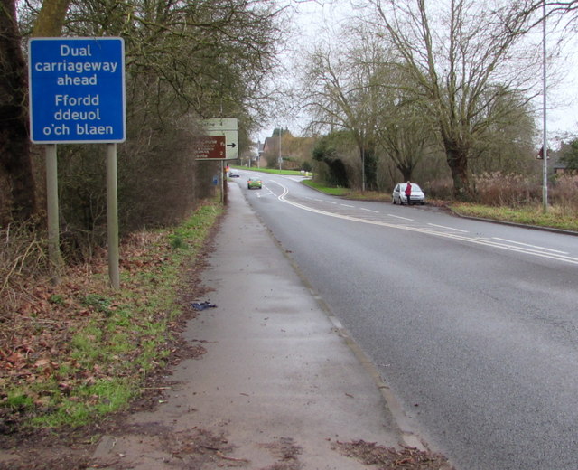
Caer-went has a close-knit community, with several local amenities including a primary school, a community hall, and a small number of shops and businesses. The area also benefits from good transport links, with the A48 road passing through the community, connecting it to nearby towns and cities.
Overall, Caer-went offers a unique blend of historical charm and natural beauty, making it an attractive place to live or visit for those interested in history, outdoor activities, or simply enjoying the tranquility of the Welsh countryside.
If you have any feedback on the listing, please let us know in the comments section below.
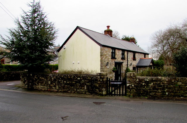
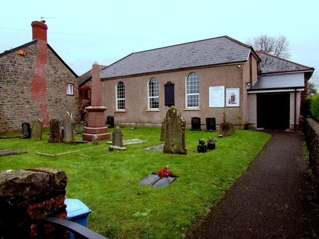
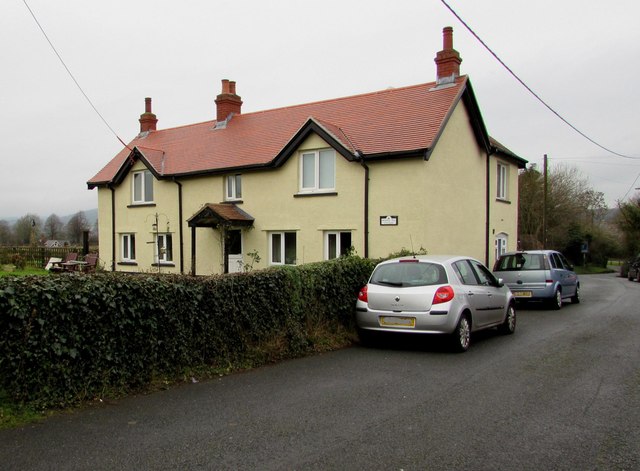
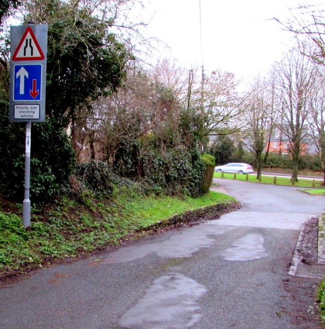
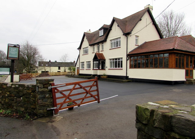
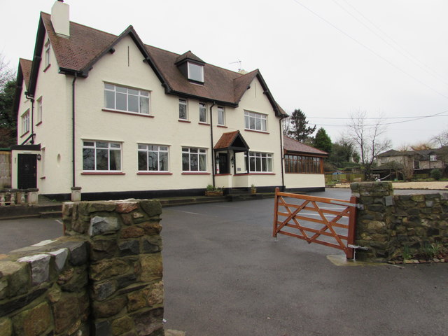
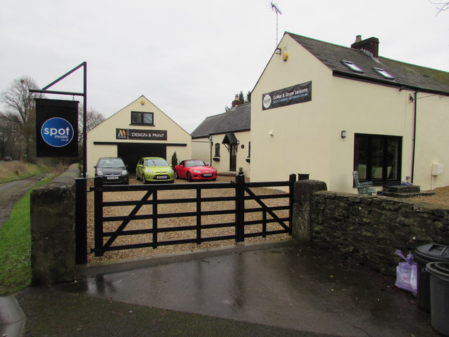
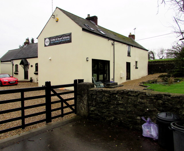
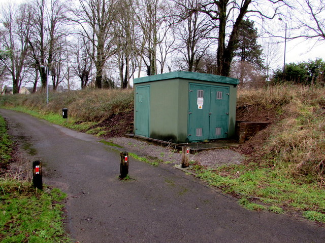
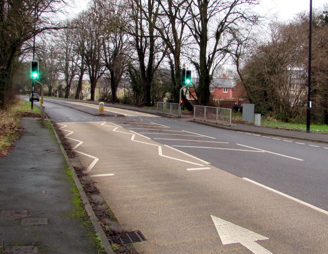
Caer-went Images
Images are sourced within 2km of 51.618591/-2.783241 or Grid Reference ST4591. Thanks to Geograph Open Source API. All images are credited.
Caer-went is located at Grid Ref: ST4591 (Lat: 51.618591, Lng: -2.783241)
Unitary Authority: Monmouthshire
Police Authority: Gwent
Also known as: Caerwent
What 3 Words
///keener.chatted.idealist. Near Caerwent, Monmouthshire
Related Wikis

Caerwent Training Area
Caerwent Training Area is a British military installation at Caerwent, Monmouthshire, Wales. The large military site is situated north of the A48 road...
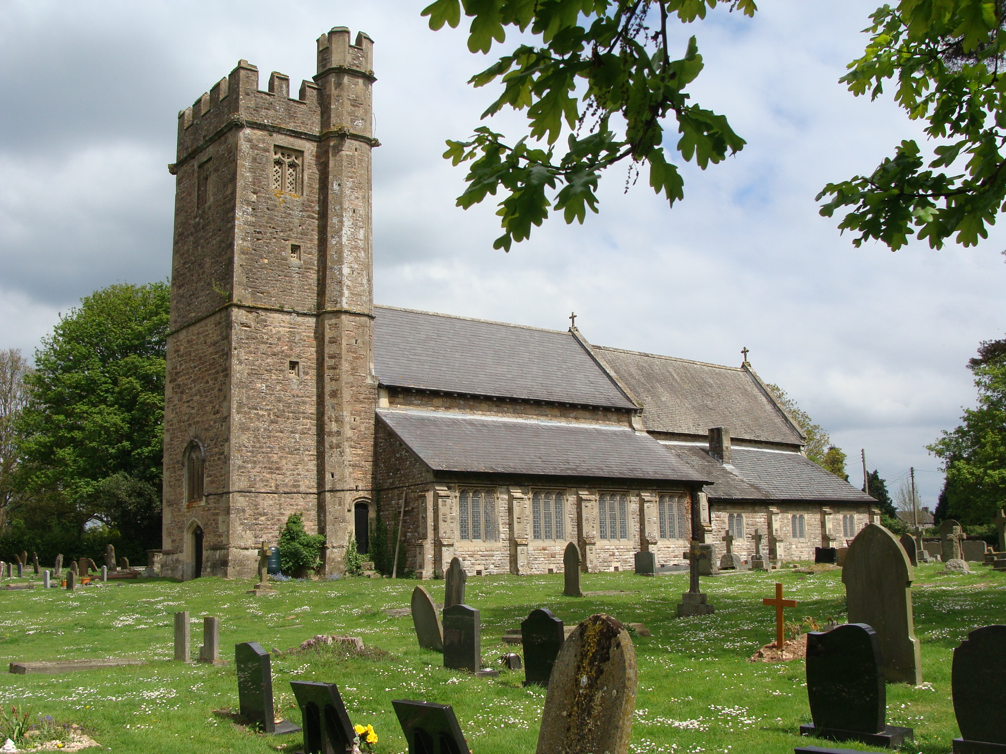
Church of St Stephen and St Tathan, Caerwent
The Church of St Stephen and St Tathan, Caerwent, Monmouthshire, is a parish church with datable origins to the 13th century. It is believed to be one...

Venta Silurum
Venta Silurum was a town in Roman Britain (Britannia). Today it consists of remains in the village of Caerwent in Monmouthshire, south east Wales. Much...

Llanvair Discoed
Llanvair Discoed (Welsh: Llanfair Is Coed) is a small village in Monmouthshire, south-east Wales, 6 miles west of Chepstow and 10 miles east of Newport...

Caerwent
Caerwent (Welsh: Caer-went) is a village and community in Monmouthshire, Wales. It is located about five miles west of Chepstow and 11 miles east of Newport...

Llanvaches
Llanvaches or Llanfaches is a village and community parish within the boundaries of the city of Newport, Wales. It lies to the east of the urban area...

Crick, Monmouthshire
Crick (Welsh: Crug) is a small village or hamlet in the Welsh county of Monmouthshire, United Kingdom. It is located on the A48 road 1 mile north of the...
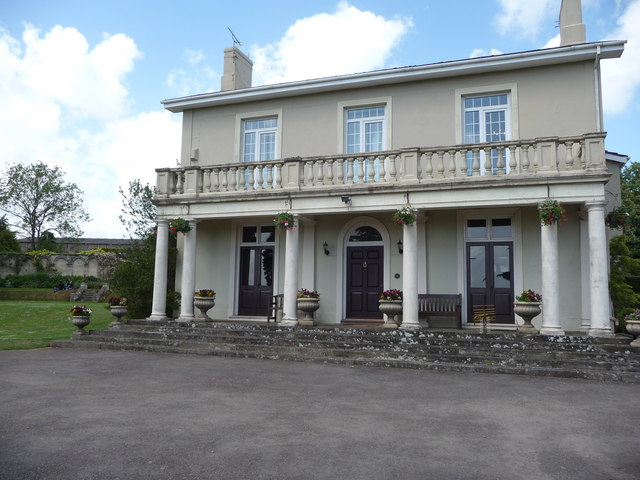
Dewstow House
Dewstow House, Caldicot, Monmouthshire, Wales, is an early nineteenth century villa in a Neoclassical style. The house is notable as the site of "one of...
Nearby Amenities
Located within 500m of 51.618591,-2.783241Have you been to Caer-went?
Leave your review of Caer-went below (or comments, questions and feedback).