Bronington

Community in Flintshire

Wales

Bronington

A495 towards Whitchurch
A495 towards Whitchurch Credit: Steven Brown

The requested URL returned error: 429 Too Many Requests

If you have any feedback on the listing, please let us know in the comments section below.
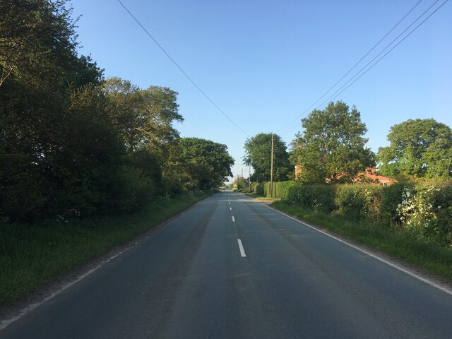
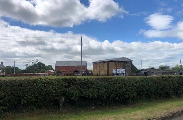
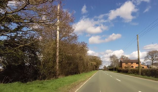
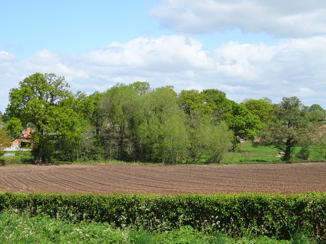
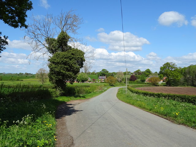
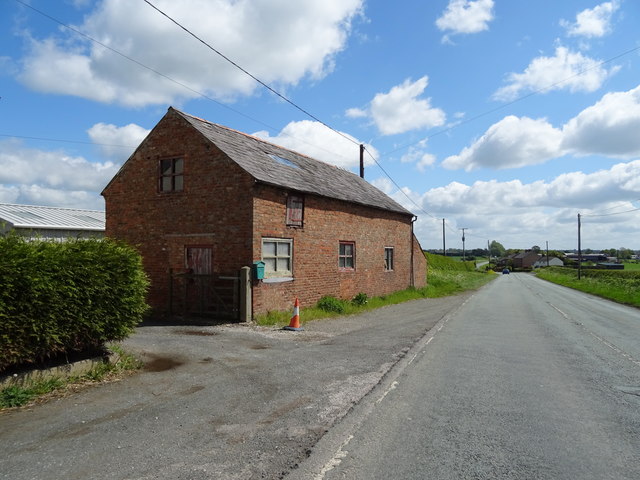
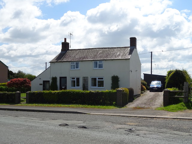
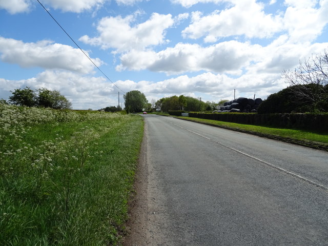
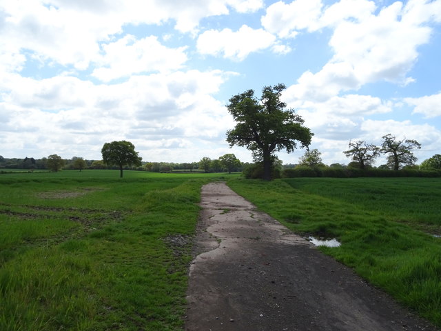
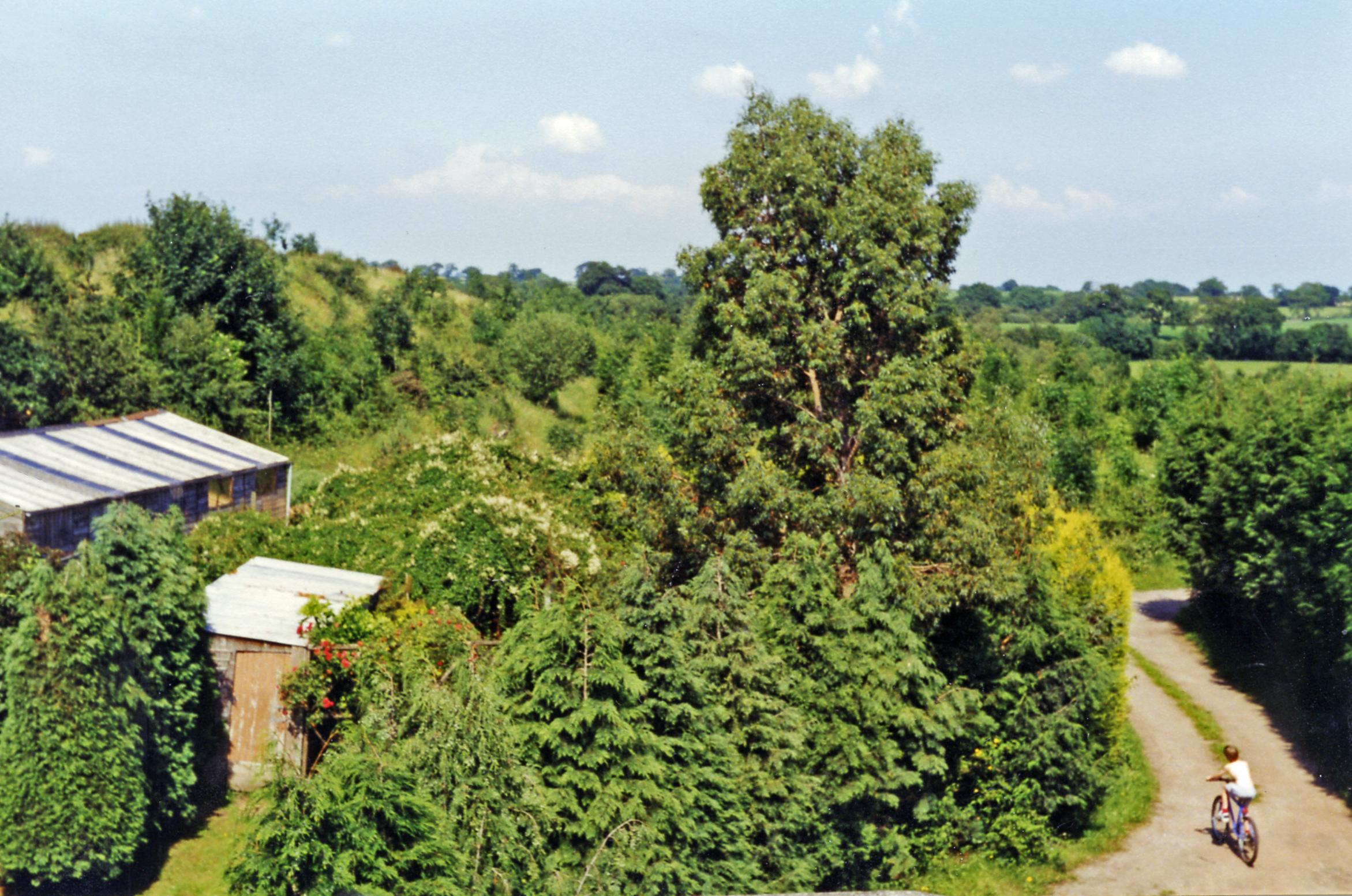
Bronington Images

Images are sourced within 2km of 52.956517/-2.76385 or Grid Reference SJ4840. Thanks to Geograph Open Source API. All images are credited.

A495 towards Whitchurch
Farm buildings, Eglwys Cross
Cottage on Smokey Lane
Horses at Smokey Lane Corner
Pinfold Cottage on A495
St Mary's church, Whitewell
Field and woodland, Eglwys Cross
Minor road heading north from Eglwys Cross
Farm building, Eglwys Cross Beside the A525.
Farm building, Eglwys Cross
Beside the A525.
House on the A525, Eglwys Cross
A525 near Little Green Farm Looking south east.
A525 near Little Green Farm
Looking south east.
Crop field near Bank Farm Off the A525.
Crop field near Bank Farm
Off the A525.
Farm track near Bank Farm Looking south from the A525.
Farm track near Bank Farm
Looking south from the A525.
A525 towards Whitchurch Looking south east.
A525 towards Whitchurch
Looking south east.
House on the A525, Whitewell
Broad Oak Farm, Whitewell
A525 near Broad Oak Farm Looking east.
A525 near Broad Oak Farm
Looking east.
Elizabeth II postbox on the A525, The Chequer Postbox No. SY13 642.

See <a href="https://www.geograph.org.uk/photo/6142811">SJ4940 : Close up, Elizabeth II postbox on the A525, The Chequer</a> for close up.
Elizabeth II postbox on the A525, The Chequer
Show me another place!

Bronington is located at Grid Ref: SJ4840 (Lat: 52.956517, Lng: -2.76385)

Unitary Authority: Wrexham

Police Authority: North Wales

What 3 Words

///compiler.amounting.remote. Near Whitchurch, Shropshire

Related Wikis

Bronington

Bronington is a village and community in Wrexham County Borough, Wales, forming a large part of the Maelor Saesneg. Within the boundaries of the historic...

Whitewell, Wrexham

Whitewell () is a dispersed rural settlement, and surrounding ecclesiastical parish, in the community of Bronington, in the east of Wrexham County Borough...

Llyn Bedydd

Llyn Bedydd is a small lake in Wrexham County Borough, in northeastern Wales, near the border with England. It is 7 kilometres (4.3 mi) south west of...

Fenn's Bank railway station

Fenn's Bank railway station was a station in Bronington, Wrexham, Wales. The station was opened on 4 May 1863 and closed on 18 January 1965. == Details... ==

Nearby Amenities

Located within 500m of 52.956517,-2.76385
Post Box
Collection Times: Mo-Fr 09:00; Sa 07:00; Su off
Drive Through: no
Operator: Royal Mail
Post Box Type: lamp
Ref: SY13 642D
Royal Cypher: EIIR
Royal Cypher Wikidata: Q33102113
Lat/Long: 52.9599324/-2.7596658
Direction: SSW
Generator Method: photovoltaic
Generator Output Electricity: yes
Generator Solar Modules: 16
Generator Source: solar
Generator Type: solar_photovoltaic_panel
Location: roof
Power: generator
Source: Bing
Lat/Long: 52.9601976/-2.7624154
The data included in this document is from www.openstreetmap.org. The data is made available under ODbL.

Have you been to Bronington?

Leave your review of Bronington below (or comments, questions and feedback).