Bontnewydd

Community in Caernarfonshire

Wales

Bontnewydd

Cambr croes / Cross cambre Note the angle of the traffic cones compared with the upright telephone pole.
Cambr croes / Cross cambre Credit: Ceri Thomas

Bontnewydd is a small community located in the county of Caernarfonshire, in northwest Wales. Situated just two miles southeast of the historic town of Caernarfon, Bontnewydd has a population of approximately 2,200 residents.

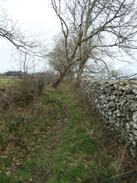
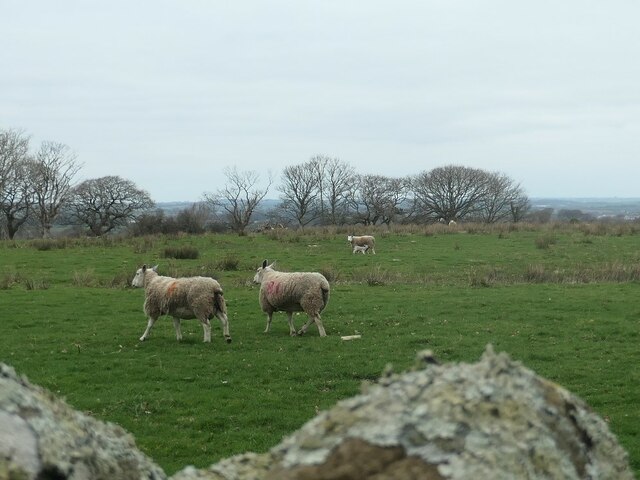
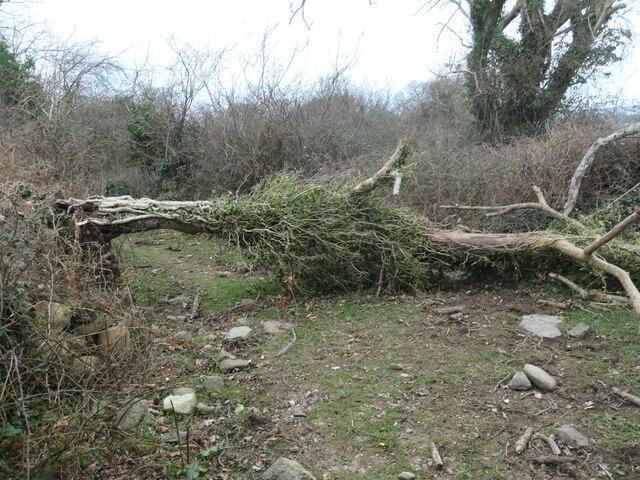
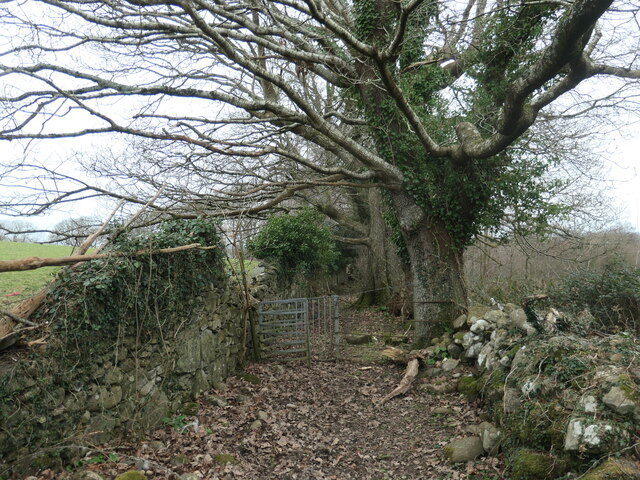
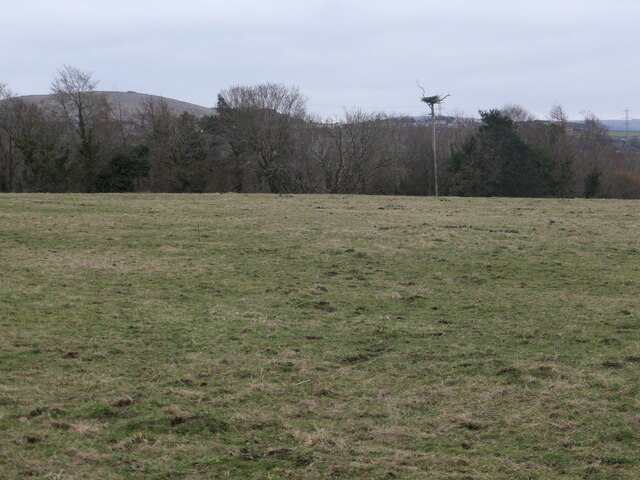
The community is nestled in the picturesque countryside of Snowdonia National Park, offering stunning views of the surrounding mountains and valleys. It is well-known for its natural beauty, attracting outdoor enthusiasts and hikers who are eager to explore the nearby trails and landscapes.

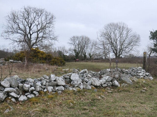
Bontnewydd has a rich history, with evidence of human settlement dating back to the prehistoric era. The area was also influenced by the Roman occupation of Britain, as evidenced by the remains of a Roman road nearby. The community's name translates to "new bridge" in Welsh, referring to the bridge that crosses the nearby Afon Gwyrfai river.

Despite its small size, Bontnewydd boasts several amenities and facilities for its residents. These include a primary school, a community center, a post office, and a few local shops and businesses. The community also has a strong sense of community spirit, with various events and activities organized throughout the year, including an annual carnival and a popular local football team.

Overall, Bontnewydd offers a peaceful and scenic place to live, with its close proximity to Caernarfon providing residents with easy access to a wider range of amenities and services. Its natural surroundings and rich history make it an attractive destination for both residents and visitors seeking a tranquil and picturesque location in North Wales.

If you have any feedback on the listing, please let us know in the comments section below.
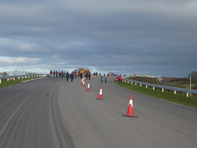
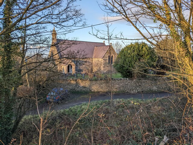
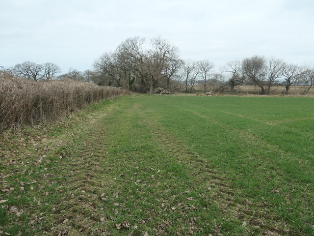
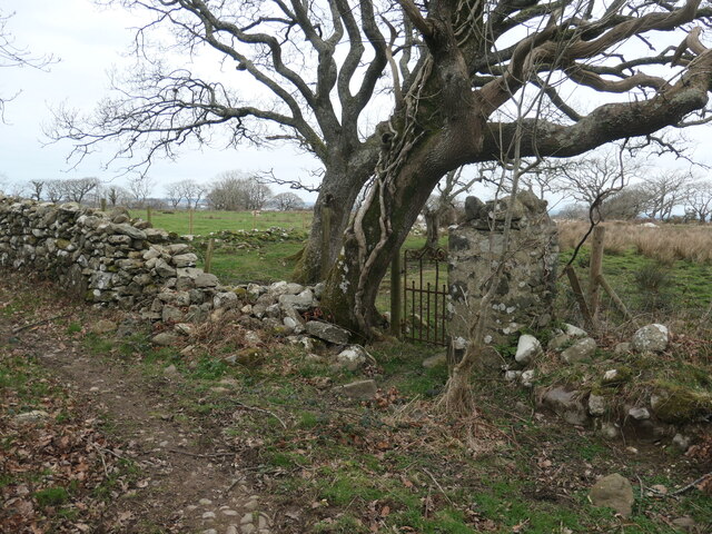
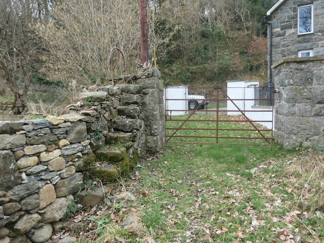
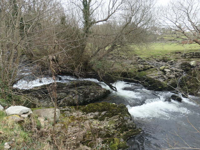
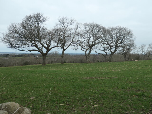
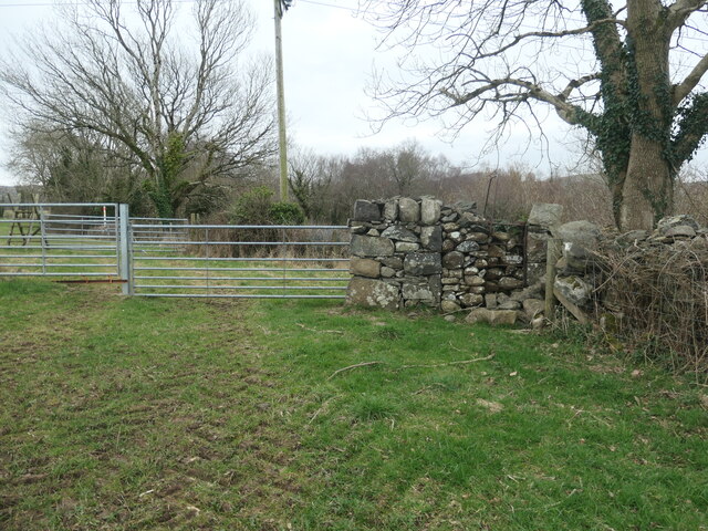
Bontnewydd Images

Images are sourced within 2km of 53.115133/-4.259757 or Grid Reference SH4859. Thanks to Geograph Open Source API. All images are credited.

Cambr croes / Cross cambre Note the angle of the traffic cones compared with the upright telephone pole.
Cambr croes / Cross cambre
Note the angle of the traffic cones compared with the upright telephone pole.
Dyffryn Gwyrfai Note the lush lowland pastures compared with the bleak uplands in the background.
Dyffryn Gwyrfai
Note the lush lowland pastures compared with the bleak uplands in the background.
Dinas Dinoethwy Possibly the site of an iron age settlement, although the evidence is inconclusive.
Dinas Dinoethwy
Possibly the site of an iron age settlement, although the evidence is inconclusive.
The church at Dinas
The church at Dinas
Public bridleway to Bontnewydd A field edge footpath.
Public bridleway to Bontnewydd
A field edge footpath.
Giât fach mewn wal carreg sych This small gate off a bridleway leads to no path or building, just a field.
Giât fach mewn wal carreg sych
This small gate off a bridleway leads to no path or building, just a field.
Llwybr march, edrych i'r gorllewin / Bridleway, looking west Walled and hedged and becoming increasing overgrown.
Llwybr march, edrych i'r gorllewin / Bridleway, looking west
Walled and hedged and becoming increasing overgrown.
Defaid, rhai ag ŵyn / Sheep, some with lambs On the north side of the bridleway, near Bodwyn.
Defaid, rhai ag ŵyn / Sheep, some with lambs
On the north side of the bridleway, near Bodwyn.
Coeden wedi cwympo ar y llwybr / fallen tree on the path Been down for some time, looking at the wear from people climbing over it.
Coeden wedi cwympo ar y llwybr / fallen tree on the path
Been down for some time, looking at the wear from people climbing over it.
Giât ar y llwybr / Gate on the path A kissing gate on a public bridleway.
Giât ar y llwybr / Gate on the path
A kissing gate on a public bridleway.
Camfa a giât ger y porthdy / Stile and gate near the lodge On a public bridleway. The steps are narrow but very secure, as is the handrail at the top.
Camfa a giât ger y porthdy / Stile and gate near the lodge
On a public bridleway. The steps are narrow but very secure, as is the handrail at the top.
Rhaeadr ar yr afon Gwyrfai / Waterfall on Afon Gwyrfai The OS map surveyed in 1888 shows a wool factory upstream of here and a water-powered corn mill downstream. The farm here is called Dol Pandy - 'pandy' being Welsh for fulling mill.
Rhaeadr ar yr afon Gwyrfai / Waterfall on Afon Gwyrfai
The OS map surveyed in 1888 shows a wool factory upstream of here and a water-powered corn mill downstream. The farm here is called Dol Pandy - 'pandy' being Welsh for fulling mill.
Coed ar derfyn cae blaenorol / Trees on a former field boundary The large-scale OS maps surveyed in 1888 and 1898 show a track to Ty'n y Coed following the line of the trees. It is not shown on the map revised in 1913.
Coed ar derfyn cae blaenorol / Trees on a former field boundary
The large-scale OS maps surveyed in 1888 and 1898 show a track to Ty'n y Coed following the line of the trees. It is not shown on the map revised in 1913.
Hen gamfa fetel dros wal / Old metal stile over a wall On the public bridleway south of Bodwyn.
Hen gamfa fetel dros wal / Old metal stile over a wall
On the public bridleway south of Bodwyn.
Pont droed ar y llwybr  march / Footbridge on the bridleway The footbridge [which the OS maps] is the small slab of slate at the foot of the ladder stile.
Pont droed ar y llwybr march / Footbridge on the bridleway
The footbridge [which the OS maps] is the small slab of slate at the foot of the ladder stile.
Llwyfan nythu ger coetir / Nesting platform near woodland It appears to be currently unoccupied, but is big enough for an eagle.
Llwyfan nythu ger coetir / Nesting platform near woodland
It appears to be currently unoccupied, but is big enough for an eagle.
Llwybr march ger Hendai / Bridleway near Hendai The gorse and large tree are in a ruined enclosure. On the older large-scale OS maps this was Hendai - a small building with a square enclosure. Hendai can be translated as old house, or rural house. The enclosure and the bridleway are now part of a paddock.
Llwybr march ger Hendai / Bridleway near Hendai
The gorse and large tree are in a ruined enclosure. On the older large-scale OS maps this was Hendai - a small building with a square enclosure. Hendai can be translated as old house, or rural house. The enclosure and the bridleway are now part of a paddock.
A487 Caernarfon Bypass heading north
Show me another place!

Bontnewydd is located at Grid Ref: SH4859 (Lat: 53.115133, Lng: -4.259757)

Unitary Authority: Gwynedd

Police Authority: North Wales

What 3 Words

///complain.riverbed.stormy. Near Llanwnda, Gwynedd

Related Wikis

Bontnewydd, Gwynedd

Bontnewydd (Welsh for 'New Bridge') is a small village and community with a population of 1,162 located on the A487 road 1+2⁄3 miles (2.7 km) south of...

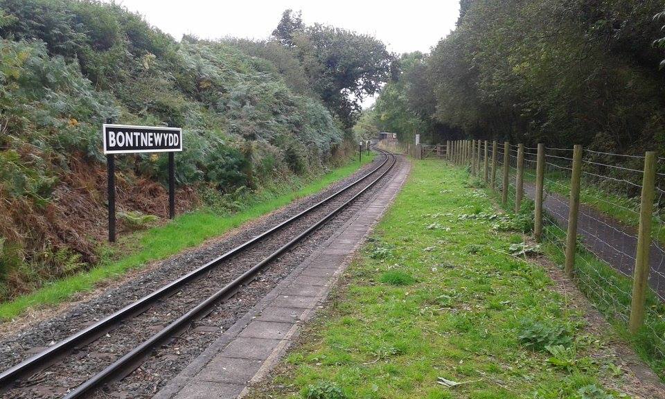
Bontnewydd railway station

Bontnewydd is an unstaffed halt on the narrow gauge Welsh Highland Railway. The halt was opened on 31 May 1999 on the petition of the villagers of Bontnewydd...
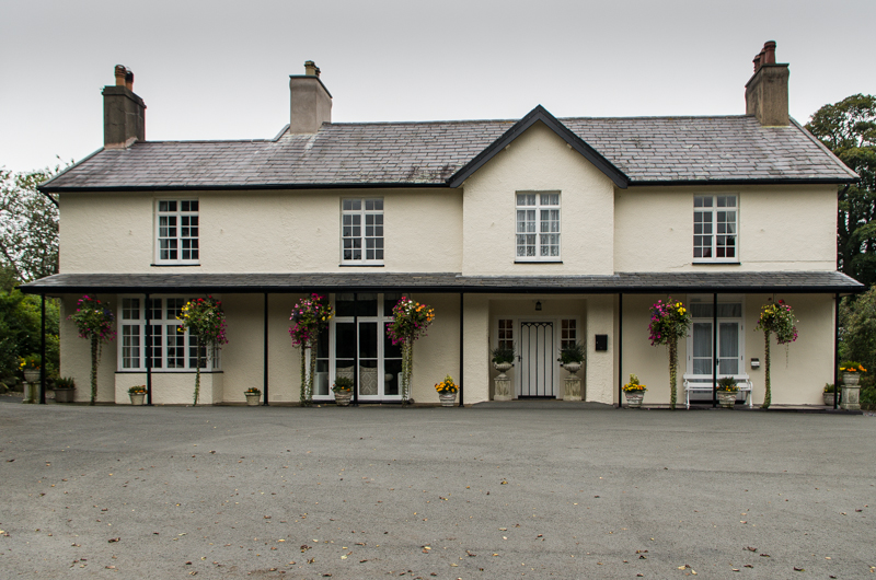
Plas Dinas

Plas Dinas is a Grade II listed building in Bontnewydd, Gwynedd, near Caernarfon in North Wales, between the Welsh coast and the Snowdonia mountains....

Carnarvon (Pant) railway station

Carnarvon (Pant) was the temporary northern terminus of the Carnarvonshire Railway, located on the southern fringe of Caernarfon, Gwynedd, Wales.The line...

Tryfan Junction railway station

Tryfan Junction is a junction station on the North Wales Narrow Gauge Railways for the main line and the Bryngwyn Branch. Opened in 1877, it closed in...

Ysbyty Eryri

Ysbyty Eryri (Welsh for 'Snowdonia Hospital') is a health facility in Lôn Parc, Caernarfon, Gwynedd, Wales. It is managed by the Betsi Cadwaladr University...

Dinas railway station

Dinas is a station on the narrow gauge Welsh Highland Railway, which was built in 1877 as the North Wales Narrow Gauge Railways Moel Tryfan Undertaking...

Caernarfon RFC

Caernarfon Rugby Football Club (Welsh: Clwb Rygbi Caernarfon) is a rugby union team from the town of Caernarfon, Gwynedd, North Wales. They currently play...

Nearby Amenities

Located within 500m of 53.115133,-4.259757
Y Bontnewydd
Name Cy: Y Bontnewydd
Name En: Bontnewydd
Place: village
Source: npe
Wikidata: Q3396864
Wikipedia: en:Bontnewydd, Gwynedd
Lat/Long: 53.1141055/-4.2668097
Man Made: mast
Tower Type: communication
Lat/Long: 53.1165966/-4.2649533
Crossing Barrier: yes
Crossing Light: yes
Railway: crossing
Supervised: no
Lat/Long: 53.1190053/-4.260439
Access: customers
Entrance: main
Lat/Long: 53.1184501/-4.2611226
Railway: turntable
Lat/Long: 53.1183622/-4.2617306
Noexit: yes
Lat/Long: 53.1188286/-4.2639498
Entrance: yes
Lat/Long: 53.1188455/-4.2603353
Entrance: yes
Lat/Long: 53.118506/-4.2612655
Entrance: yes
Lat/Long: 53.1185315/-4.2610498
Direction: 215
Generator Method: photovoltaic
Generator Output Electricity: yes
Generator Solar Modules: 8
Generator Source: solar
Generator Type: solar_photovoltaic_panel
Location: roof
Power: generator
Lat/Long: 53.1163911/-4.265998
Direction: 215
Generator Method: photovoltaic
Generator Output Electricity: yes
Generator Solar Modules: 8
Generator Source: solar
Generator Type: solar_photovoltaic_panel
Location: roof
Power: generator
Lat/Long: 53.1164231/-4.2660749
Direction: 145
Generator Method: photovoltaic
Generator Output Electricity: yes
Generator Solar Modules: 4
Generator Source: solar
Generator Type: solar_photovoltaic_panel
Location: roof
Power: generator
Lat/Long: 53.1151562/-4.2661077
The data included in this document is from www.openstreetmap.org. The data is made available under ODbL.

Have you been to Bontnewydd?

Leave your review of Bontnewydd below (or comments, questions and feedback).