Bontnewydd, Y
Settlement in Caernarfonshire
Wales
Bontnewydd, Y
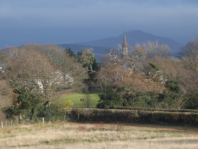
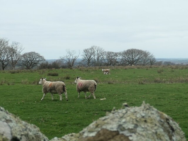
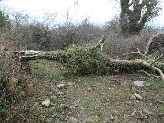
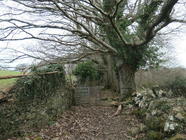
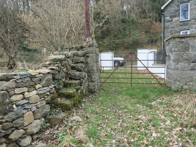
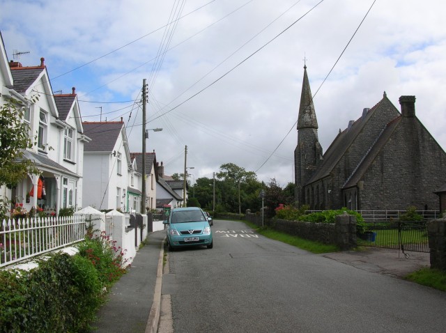
Bontnewydd is a small village located in the county of Caernarfonshire, Wales. Situated near the southern coast of the Menai Strait, it lies approximately 4 miles southeast of the town of Caernarfon and 10 miles northwest of Porthmadog. The village is nestled amidst picturesque countryside, with the Snowdonia National Park just a short distance to the east.
Bontnewydd is known for its rich history, dating back to the 13th century when it was first mentioned in historical records. The name "Bontnewydd" translates to "new bridge" in Welsh, referencing the historic bridge that spans the River Gwyrfai and still stands today. The village grew around this bridge, with its strategic location along the main road from Caernarfon to Porthmadog facilitating trade and travel.
Despite its small size, Bontnewydd offers a range of amenities to its residents and visitors. The village is home to a primary school, a community center, and a few local businesses including a grocery store and a pub. The surrounding countryside provides ample opportunities for outdoor activities such as hiking, cycling, and fishing.
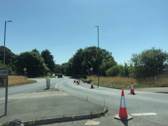
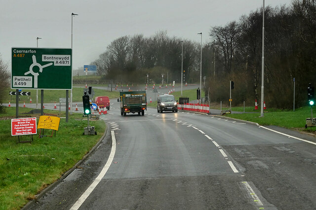
Bontnewydd's location in Caernarfonshire makes it an ideal base for exploring the wider region. Visitors can easily access the nearby coastal towns, historic castles, and stunning natural landscapes. Additionally, the village is well-connected by road, with the A487 passing through, providing convenient access to other parts of Wales.
Overall, Bontnewydd offers a peaceful and charming retreat for those seeking a rural village experience with easy access to both natural beauty and cultural attractions.
If you have any feedback on the listing, please let us know in the comments section below.
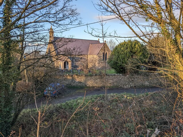
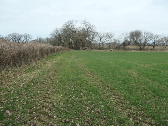
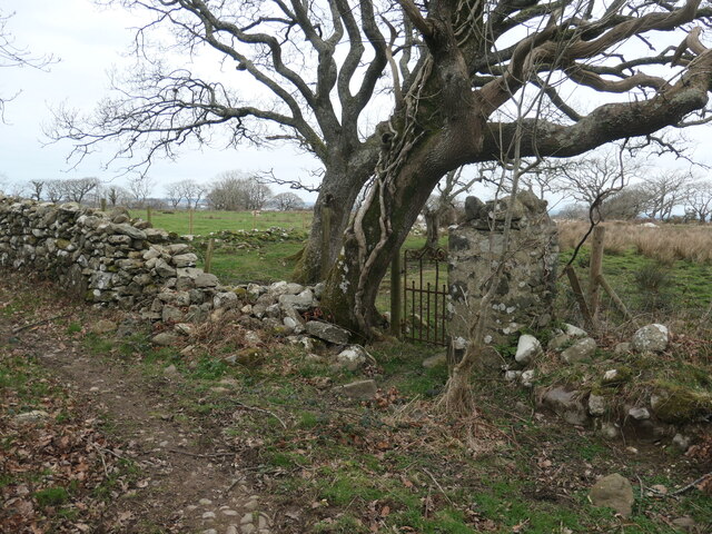
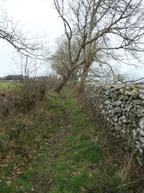
Bontnewydd, Y Images
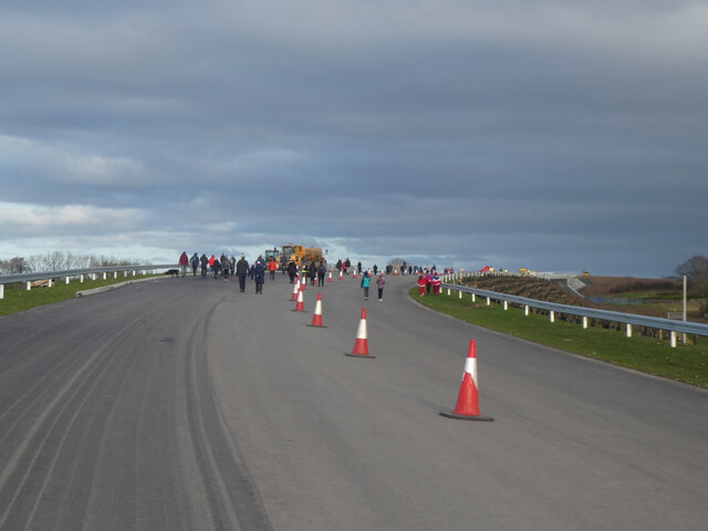
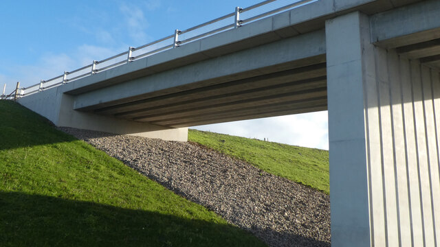
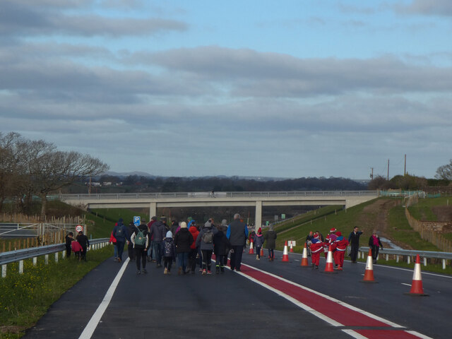
Images are sourced within 2km of 53.106476/-4.2720672 or Grid Reference SH4859. Thanks to Geograph Open Source API. All images are credited.


Bontnewydd, Y is located at Grid Ref: SH4859 (Lat: 53.106476, Lng: -4.2720672)
Unitary Authority: Gwynedd
Police Authority: North Wales
Also known as: Bontnewydd
What 3 Words
///tweaked.crib.foreheads. Near Llanwnda, Gwynedd
Nearby Locations
Related Wikis
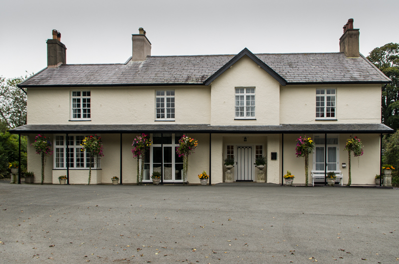
Plas Dinas
Plas Dinas is a Grade II listed building in Bontnewydd, Gwynedd, near Caernarfon in North Wales, between the Welsh coast and the Snowdonia mountains....

Dinas railway station
Dinas is a station on the narrow gauge Welsh Highland Railway, which was built in 1877 as the North Wales Narrow Gauge Railways Moel Tryfan Undertaking...

Dinas, Gwynedd
Dinas is a large hamlet near Bontnewydd, Caernarfon, in Gwynedd, north-west Wales. It is in the ancient parish and modern community of Llanwnda and is...
Llanwnda, Gwynedd
Llanwnda is a village, community and electoral ward in Gwynedd, Wales. The community has a population of 1,994 as taken at the 2011 Census. It is situated...
Nearby Amenities
Located within 500m of 53.106476,-4.2720672Have you been to Bontnewydd, Y?
Leave your review of Bontnewydd, Y below (or comments, questions and feedback).