Betws-y-Coed

Community in Caernarfonshire

Wales

Betws-y-Coed

Path beside the A470 Looking along the A470 towards Betws-y-Coed.
Path beside the A470 Credit: DS Pugh

Betws-y-Coed is a picturesque village located in Caernarfonshire, Wales. Situated in the heart of Snowdonia National Park, it is known for its stunning natural beauty and outdoor recreational opportunities. The community of Betws-y-Coed encompasses a small population and covers an area of approximately 9 square kilometers.

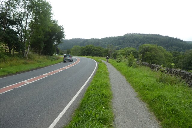
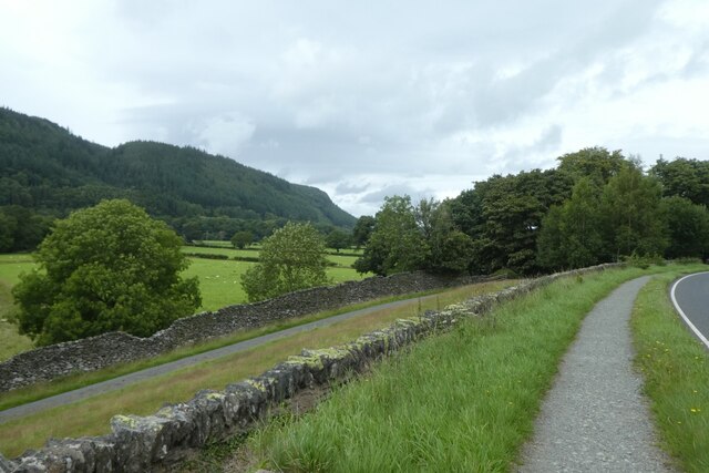
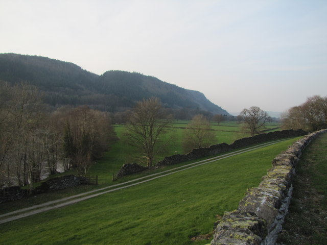
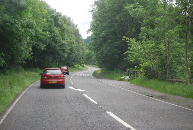
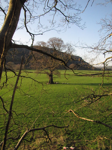
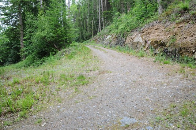
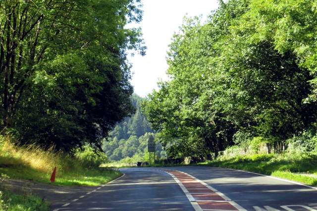
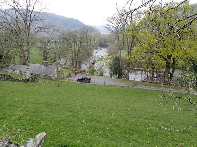
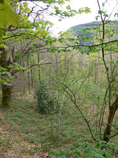
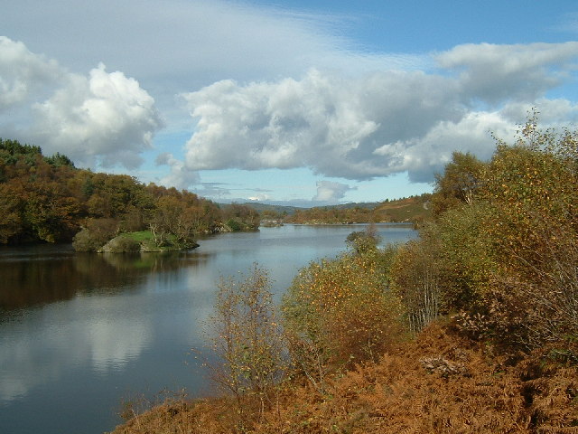
Nestled among the Gwydyr Forest, the village is surrounded by rolling hills, dense woodlands, and cascading waterfalls. It is a popular destination for hikers, nature enthusiasts, and adventure seekers. The village is located at the confluence of the rivers Llugwy, Lledr, and Conwy, providing visitors with breathtaking views of the surrounding rivers and valleys.

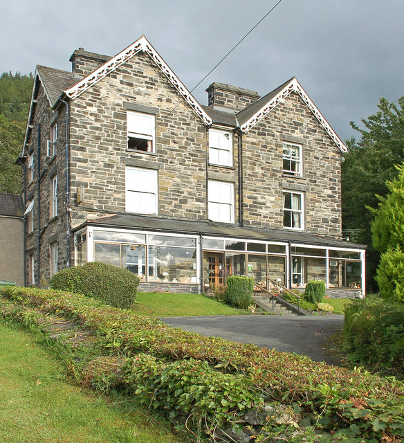
Betws-y-Coed offers a range of outdoor activities, including hiking, mountain biking, fishing, and birdwatching. It is also a gateway to Mount Snowdon, the highest peak in Wales, attracting climbers from all over the world. The village itself boasts a charming atmosphere with traditional stone buildings, quaint shops, and cozy cafes.

In addition to its natural beauty, Betws-y-Coed is home to several notable landmarks. The Pont-y-Pair Bridge, built in the 15th century, is a popular spot for visitors to admire the village's scenic views. The nearby Swallow Falls is a spectacular waterfall that draws crowds year-round.

Overall, Betws-y-Coed is a haven for those seeking tranquility and adventure in the heart of the Welsh countryside. Its stunning landscapes, outdoor activities, and charming village atmosphere make it a must-visit destination for tourists and outdoor enthusiasts alike.

If you have any feedback on the listing, please let us know in the comments section below.
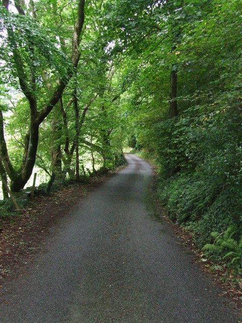
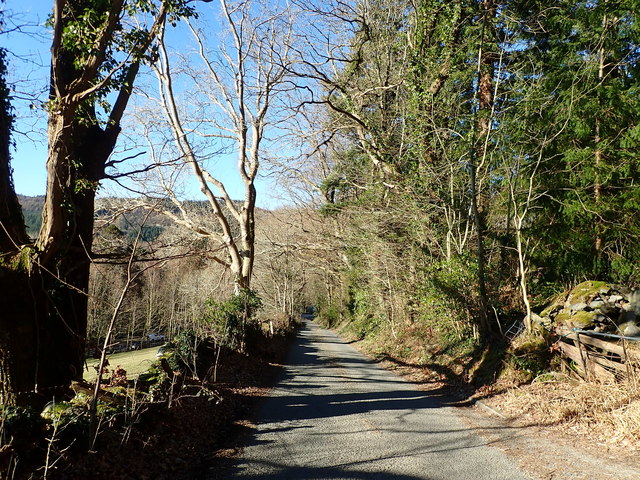
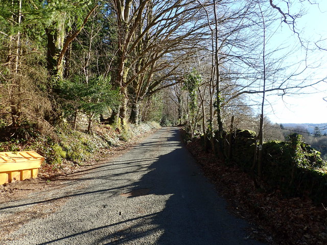
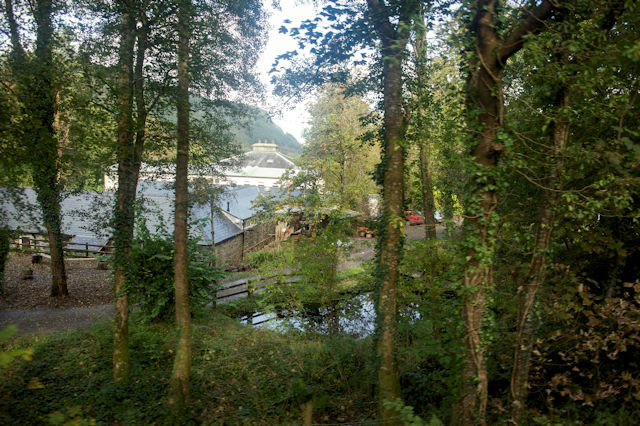
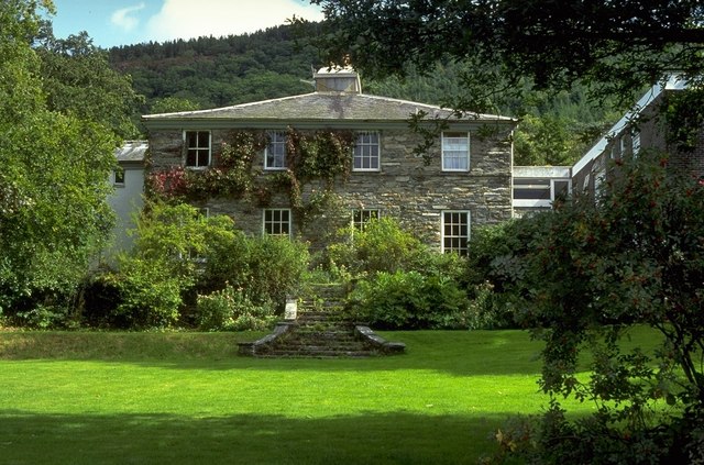
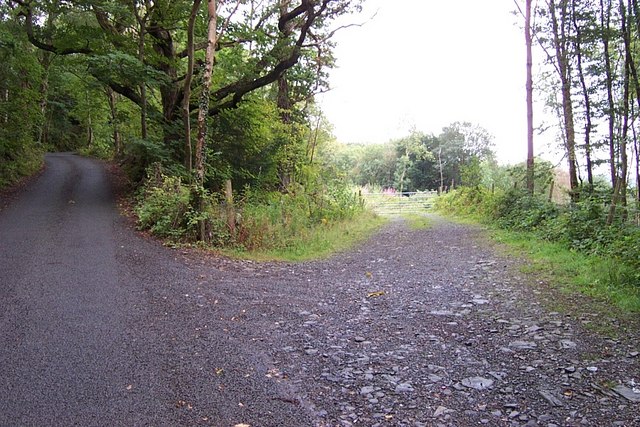
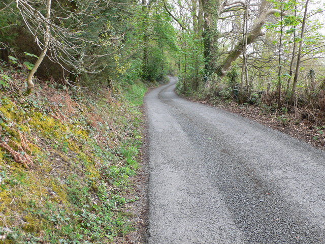
Betws-y-Coed Images

Images are sourced within 2km of 53.092961/-3.81912 or Grid Reference SH7856. Thanks to Geograph Open Source API. All images are credited.

Path beside the A470 Looking along the A470 towards Betws-y-Coed.
Path beside the A470
Looking along the A470 towards Betws-y-Coed.
Footpath beside the A470 Running alongside the A470 near Betws-y-Coed.
Footpath beside the A470
Running alongside the A470 near Betws-y-Coed.
Conwy Valley
Conwy Valley
Park Hill Guest House / Gwesty Bryn Parc, Betws-y-Coed
A470, southbound The A470(T) is a major long-distance road in Wales, from Cardiff on the south coast to Llandudno on the north coast. It is 186 miles long, with a tortuous route through the country's mountainous central region, including the Brecon Beacons and Snowdonia National Park.
Wikipedia: <span class="nowrap"><a title="http://en.wikipedia.org/wiki/A470_road" rel="nofollow ugc noopener" href="http://en.wikipedia.org/wiki/A470_road">Link</a><img style="margin-left:2px;" alt="External link" title="External link - shift click to open in new window" src="https://s1.geograph.org.uk/img/external.png" width="10" height="10"/></span>
A470, southbound
The A470(T) is a major long-distance road in Wales, from Cardiff on the south coast to Llandudno on the north coast. It is 186 miles long, with a tortuous route through the country's mountainous central region, including the Brecon Beacons and Snowdonia National Park. Wikipedia: LinkExternal link
Afon Conwy floodplain
Forest track Forest track below Mynydd Garthmyn near Betws-y-Coed.
Forest track
Forest track below Mynydd Garthmyn near Betws-y-Coed.
Betws Road nearing Betws-Y-Coed
Minor Road Minor road near to Betws-y-Coed, Conway.
Minor Road
Minor road near to Betws-y-Coed, Conway.
Steep hill down to the A470
The road to Capel Garmon A steep narrow road, with few passing places
The road to Capel Garmon
A steep narrow road, with few passing places
River Conwy East of Betws y Coed
River Conwy
East of Betws y Coed
Rhyd-y-Creua centre through the trees
Rhyd y Creuau Field Study Centre
Rhyd y Creuau
Field Study Centre
Road Junction near Pen Gallt y Foel This road junction near Pen Gallt y Foel at SH 80094 55941 does not appear on the Ordnance Survey map.
Road Junction near Pen Gallt y Foel
This road junction near Pen Gallt y Foel at SH 80094 55941 does not appear on the Ordnance Survey map.
The road to Capel Garmon A narrow steep road, rising from the A470 near Betws-y-Coed, around the southern side of Mynydd Garthmyn.
The road to Capel Garmon
A narrow steep road, rising from the A470 near Betws-y-Coed, around the southern side of Mynydd Garthmyn.
Coed-y-Celyn To the east of Betws-y-Coed and south of the minor road to Capel Garmon.
Coed-y-Celyn
To the east of Betws-y-Coed and south of the minor road to Capel Garmon.
After the fire Scorched mountain after a forest fire two days previously. The fire spread over 22 acres of woodland on Mynydd Garthmyn, near Capel Garmon.
After the fire
Scorched mountain after a forest fire two days previously. The fire spread over 22 acres of woodland on Mynydd Garthmyn, near Capel Garmon.
Show me another place!

Betws-y-Coed is located at Grid Ref: SH7856 (Lat: 53.092961, Lng: -3.81912)

Unitary Authority: Conwy

Police Authority: North Wales

What 3 Words

///undercuts.darts.shrubbery. Near Betws-y-Coed, Conwy

Nearby Locations

Gartheryr Betws-y-Coed

Related Wikis

St Mary's Church, Betws-y-Coed

St Mary's Church, Betws-y-Coed, is in the village of Betws-y-Coed, Conwy, Wales. It is an active Anglican parish church of the Church in Wales, in the...

Betws-y-Coed

Betws-y-coed (Welsh: [ˈbɛtʊs ə ˈkoːɨ̯d] ; meaning 'prayer-house in the wood') is a village and community in the Conwy valley in Conwy County Borough, Wales...

Betws-y-Coed railway station

Betws-y-coed railway station is on the Conwy Valley Line, which runs between Llandudno and Blaenau Ffestiniog. It is situated 15+1⁄2 miles (24.9 km) south...

Llyn Elsi

Llyn Elsi is a lake located above the village of Betws-y-coed in the Snowdonia National Park in North Wales. It is a reservoir providing water for the...

Nearby Amenities

Located within 500m of 53.092961,-3.81912
Created By: Merkaartor 0.12
Lat/Long: 53.0931543/-3.8140904
Created By: Merkaartor 0.12
Lat/Long: 53.0936536/-3.8172715
Barrier: kissing_gate
Lat/Long: 53.0941493/-3.8195825
Created By: Merkaartor 0.12
Lat/Long: 53.0941706/-3.8201924
Created By: Merkaartor 0.12
Lat/Long: 53.0953367/-3.8241111
Created By: Merkaartor 0.12
Lat/Long: 53.0951949/-3.8243257
Created By: Merkaartor 0.12
Lat/Long: 53.0936052/-3.8223302
Created By: Merkaartor 0.12
Lat/Long: 53.0925099/-3.8215362
Fire Station
Lat/Long: 53.0929087/-3.8222696
Power: pole
Lat/Long: 53.0900632/-3.8230267
Power: pole
Lat/Long: 53.0906903/-3.8207088
Power: pole
Lat/Long: 53.0903975/-3.821815
Power: pole
Lat/Long: 53.0910138/-3.8195281
Material: wood
Power: pole
Lat/Long: 53.0923876/-3.8118723
Material: wood
Power: pole
Lat/Long: 53.0917046/-3.8145706
Power: pole
Lat/Long: 53.0914405/-3.8164642
Power: pole
Lat/Long: 53.0912182/-3.817918
Direction: 190
Generator Method: photovoltaic
Generator Output Electricity: yes
Generator Solar Modules: 16
Generator Source: solar
Generator Type: solar_photovoltaic_panel
Location: roof
Power: generator
Lat/Long: 53.0933359/-3.8217811
Direction: ESE
Generator Method: photovoltaic
Generator Output Electricity: yes
Generator Solar Modules: 11
Generator Source: solar
Generator Type: solar_photovoltaic_panel
Location: roof
Power: generator
Lat/Long: 53.0924218/-3.8217093
Direction: ESE
Generator Method: photovoltaic
Generator Output Electricity: yes
Generator Solar Modules: 8
Generator Source: solar
Generator Type: solar_photovoltaic_panel
Location: roof
Power: generator
Lat/Long: 53.0923562/-3.8214733
The data included in this document is from www.openstreetmap.org. The data is made available under ODbL.

Have you been to Betws-y-Coed?

Leave your review of Betws-y-Coed below (or comments, questions and feedback).