Bermo
Community in Merionethshire
Wales
Bermo

Bermo is a small community located in the historical county of Merionethshire in Wales. Situated in the beautiful region of Gwynedd, Bermo is nestled between the Snowdonia National Park and the stunning Cardigan Bay coastline.
The community consists of several villages, including Bermo itself, which is the largest settlement. Other villages within the community include Talybont, Dyffryn Ardudwy, and Llanenddwyn. The area is known for its picturesque landscapes, with rolling hills, lush green valleys, and majestic mountains providing a stunning backdrop.
Bermo has a rich history, with evidence of settlements dating back to prehistoric times. The community has strong ties to the Welsh language and culture, with many residents speaking Welsh as their first language. Traditional Welsh customs and events are celebrated throughout the year, adding to the community's unique character.
The area is a popular destination for outdoor enthusiasts, offering a wide range of activities. Hiking, mountain biking, and horseback riding are popular pursuits in the nearby Snowdonia National Park. The coastline provides opportunities for water sports such as surfing, sailing, and fishing.
Bermo and its surrounding villages offer a range of amenities, including shops, cafes, and pubs, providing a warm and welcoming atmosphere for both residents and visitors. The community is also well-connected, with good transport links to nearby towns and cities.
Overall, Bermo, Merionethshire is a charming community that combines its rich history, stunning natural surroundings, and vibrant Welsh culture to create a truly unique destination.
If you have any feedback on the listing, please let us know in the comments section below.
Bermo Images
Images are sourced within 2km of 52.73084/-4.055823 or Grid Reference SH6116. Thanks to Geograph Open Source API. All images are credited.


Bermo is located at Grid Ref: SH6116 (Lat: 52.73084, Lng: -4.055823)
Unitary Authority: Gwynedd
Police Authority: North Wales
Also known as: Barmouth
What 3 Words
///bounding.flattery.baked. Near Barmouth, Gwynedd
Related Wikis

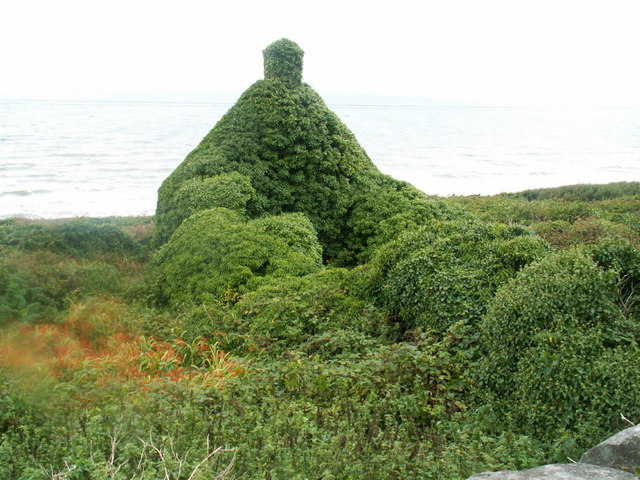
Plas Mynach
Plas Mynach is a large country house in Barmouth, Gwynedd, Wales. It is designated by Cadw as a Grade II* listed building, and stands in a prominent position...

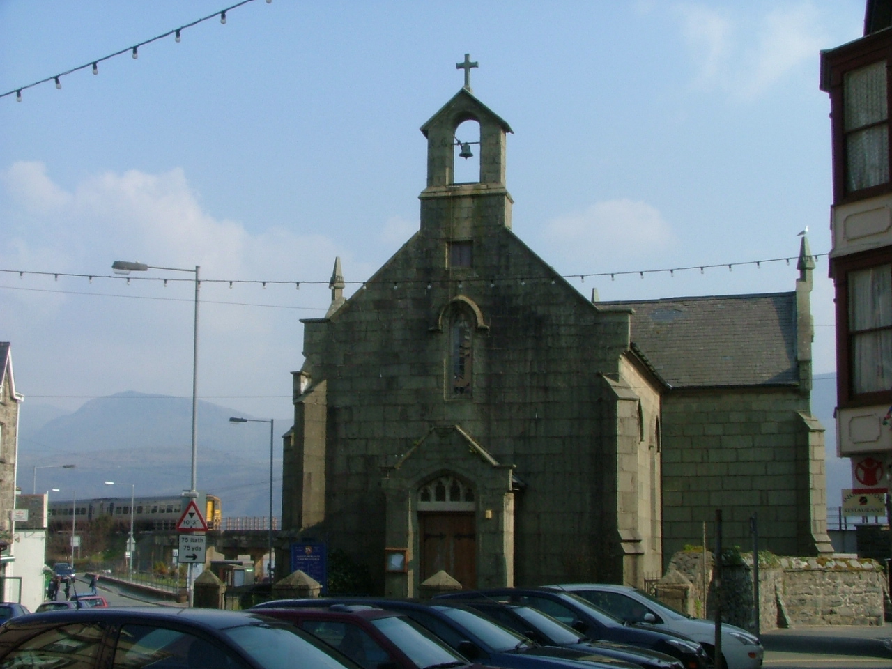
St Tudwal's Church, Barmouth
St Tudwal's Church is a Roman Catholic parish church in Barmouth, Gwynedd. It is situated on the King Edward Road leading from Barmouth to Llanaber. It...
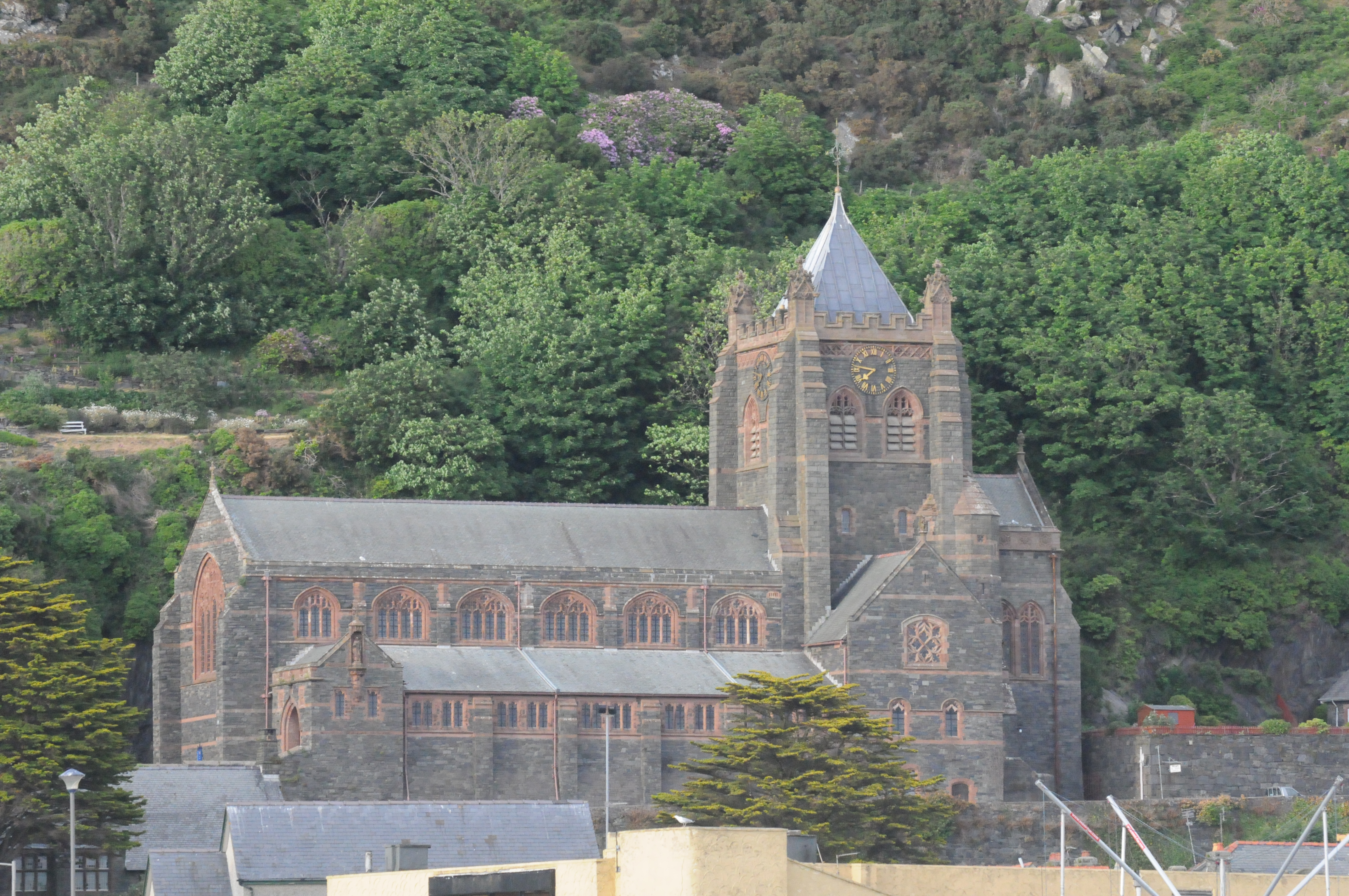
St John's Church, Barmouth
St John's Church, Barmouth, Gwynedd, Wales was built between 1889 and 1895 and designed by the Chester architects Douglas and Fordham. The foundation stone...

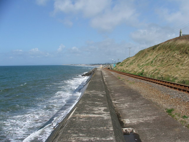
Barmouth railway station
Barmouth railway station serves the seaside town of Barmouth in Gwynedd, Wales. The station is on the Cambrian Coast Railway with passenger services to...

Barmouth
Barmouth (Welsh: Abermaw (formal); Y Bermo (colloquial)) is a seaside town and community in the county of Gwynedd, north-west Wales; it lies on the estuary...

Barmouth Lifeboat Station
Barmouth Lifeboat Station, based in Barmouth, Gwynedd, Wales, was established in the 1820s and the first lifeboat station was constructed in 1828 at a...
St David's Church, Barmouth
St David's Church is a Church in Wales church by the harbour of Barmouth, Gwynedd, west Wales. It is part of the Bro Ardudwy Ministry Area. == History... ==

Llanaber
Llanaber is a linear coastal village in north west Wales, about 0.7 miles (1.1 km) north of Barmouth on the A496 road. The Irish Sea lies directly to the...
Nearby Amenities
Located within 500m of 52.73084,-4.055823Have you been to Bermo?
Leave your review of Bermo below (or comments, questions and feedback).