Bala
Community in Merionethshire
Wales
Bala
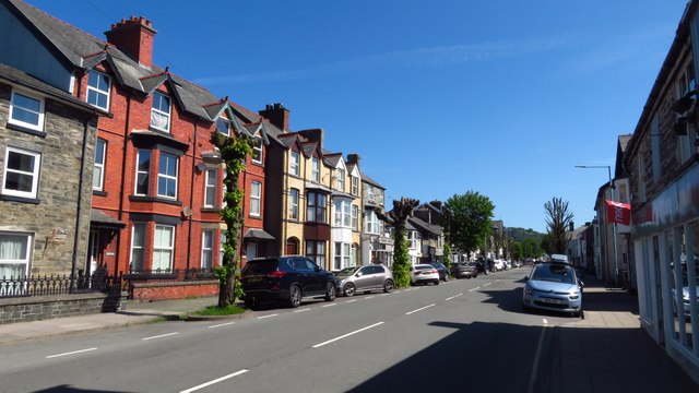
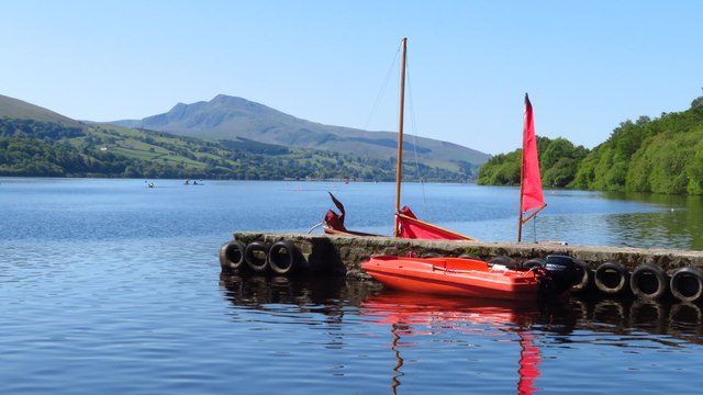
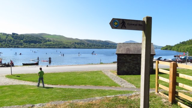
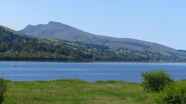
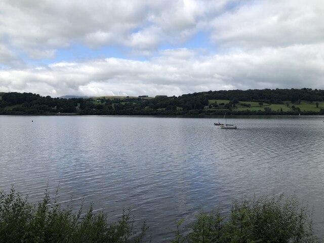
Bala is a community situated in the county of Merionethshire, Wales. It is located in the historic region of Meirionnydd and lies at the northern end of Bala Lake, the largest natural lake in Wales. The town of Bala is the largest settlement in the community and serves as its administrative center.
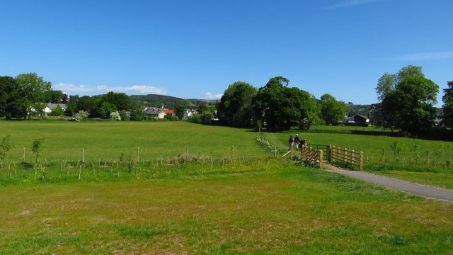
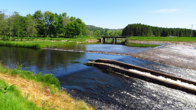
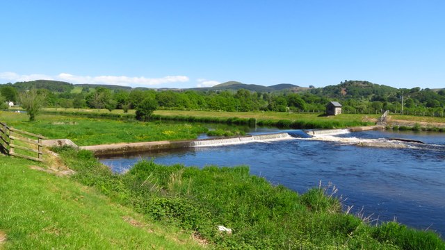
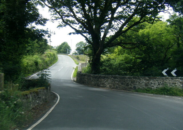
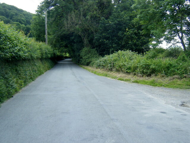
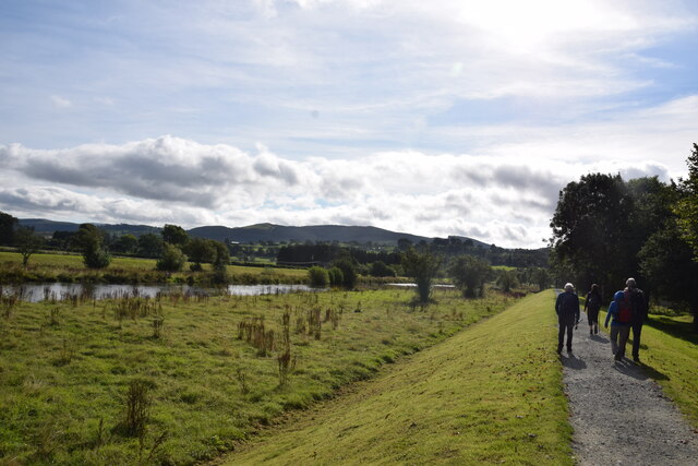
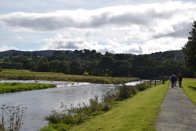
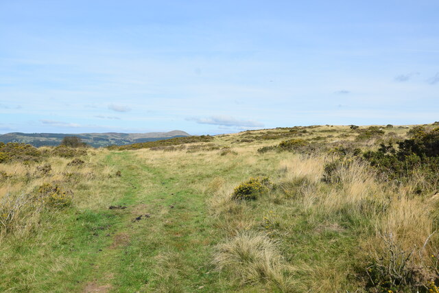
The community of Bala is surrounded by picturesque countryside, with the Berwyn Mountains to the east and the Aran Mountains to the south. The landscape is characterized by rolling hills, lush green valleys, and numerous rivers and streams that flow into Bala Lake.
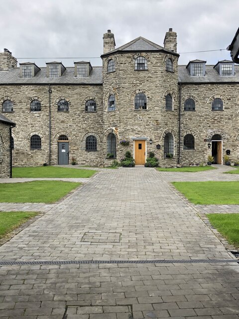
Bala has a rich history dating back to prehistoric times, with evidence of human activity found in the area. The community played a significant role in the slate industry during the 19th century, and remnants of the industry can still be seen in the form of abandoned quarries and slate heaps.
Today, Bala is a popular tourist destination, attracting visitors with its natural beauty and outdoor recreational opportunities. Bala Lake offers a range of water activities, including sailing, kayaking, and fishing. The surrounding area provides ample opportunities for hiking, mountain biking, and wildlife spotting.
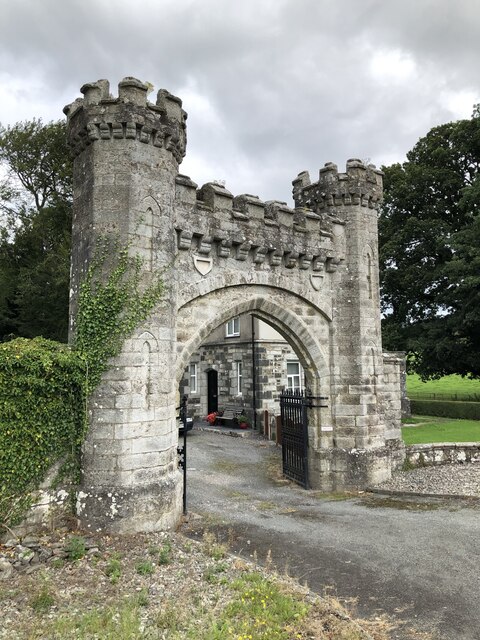
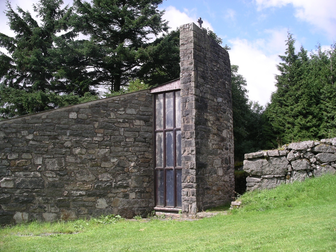
In addition to its natural attractions, Bala is also known for its cultural heritage. The town is home to several historic buildings, including the impressive St. Mary's Church, which dates back to the 14th century. The community also hosts various events and festivals throughout the year, celebrating local traditions and Welsh culture.
Overall, Bala, Merionethshire is a charming community that offers a blend of natural beauty, historical significance, and cultural experiences, making it a must-visit destination for tourists and a delightful place to live for its residents.
If you have any feedback on the listing, please let us know in the comments section below.
Bala Images
Images are sourced within 2km of 52.907668/-3.584269 or Grid Reference SH9335. Thanks to Geograph Open Source API. All images are credited.
Bala is located at Grid Ref: SH9335 (Lat: 52.907668, Lng: -3.584269)
Unitary Authority: Gwynedd
Police Authority: North Wales
Also known as: Y Bala
What 3 Words
///piglet.tone.reserving. Near Bala, Gwynedd
Related Wikis

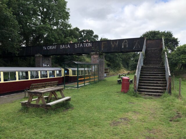
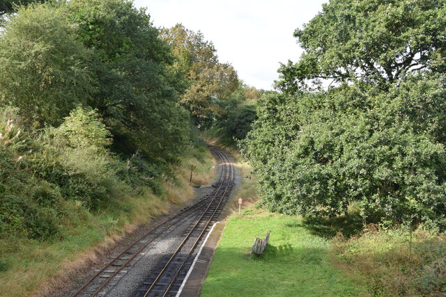
Bala Junction railway station
Bala Junction railway station was on the Ruabon to Barmouth line in southern Gwynedd, Wales. It closed to passengers on Monday 18 January 1965. Bala Junction...
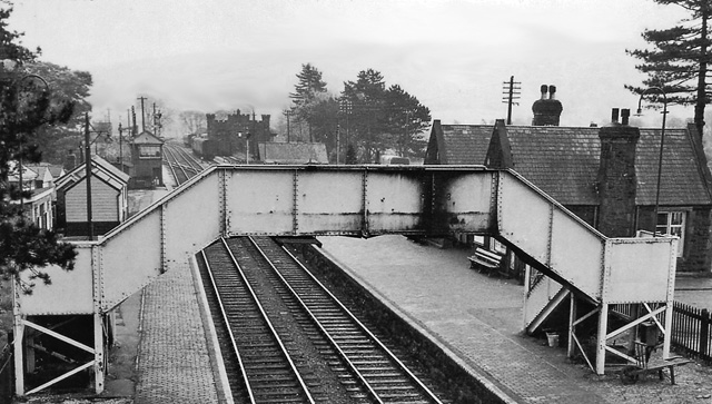
Bala (New) railway station
Bala railway station was on the Great Western Railway's Bala Ffestiniog Line in Wales. It replaced the first Bala station which was further away from the...

Bala, Gwynedd
Bala (Welsh: Y Bala) is a town and community in Gwynedd, Wales. Formerly an urban district, Bala lies in the historic county of Merionethshire, at the...
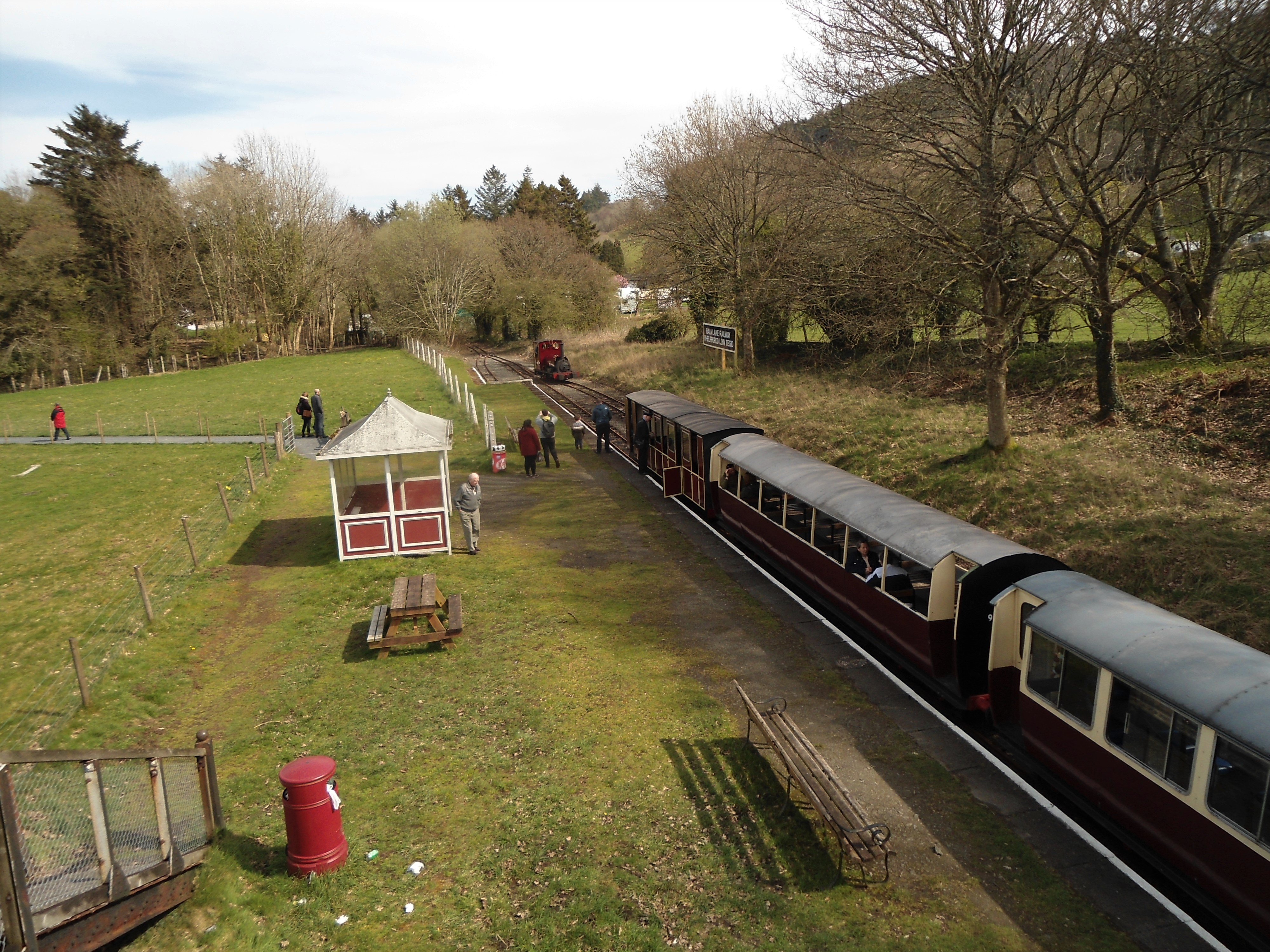
Bala (Penybont) railway station
Bala (Penybont) is the current terminus of the heritage Bala Lake Railway, in Gwynedd, Wales, since 1976. The site was formerly the location of the Bala...

Llanfor
Llanfor is a village in Gwynedd, Wales near the town of Bala, in the community of Llandderfel. == History == There is evidence of an Iron Age Hill Fort...

Bala Town Hall
Bala Town Hall (Welsh: Neuadd y Dref Y Bala), known in the late 19th century as the County Hall (Welsh: Neuadd y Sir Y Bala), is a municipal building in...
Afon Tryweryn
The Tryweryn is a river in the north of Wales which starts at Llyn Tryweryn in the Snowdonia National Park and after 19 kilometres (12 mi) joins the river...

Christ Church, Bala
Christ Church, Bala, is in Bala, Gwynedd, Wales (grid reference SH926362). It is an active Anglican church in the deanery of Penllyn & Edeyrnion, the...
Nearby Amenities
Located within 500m of 52.907668,-3.584269Have you been to Bala?
Leave your review of Bala below (or comments, questions and feedback).