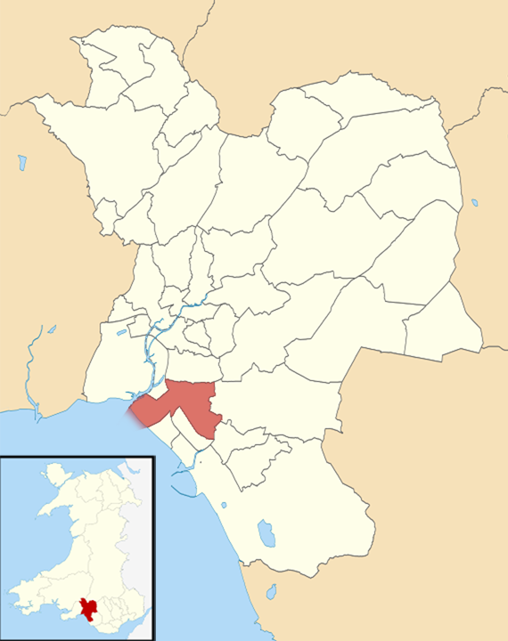
Baglan
Community in Glamorgan
Wales
Baglan

Baglan is a community located in the county of Glamorgan, Wales. It is situated in the historic county borough of Neath Port Talbot. Baglan is a relatively small community with an estimated population of around 6,000 residents.
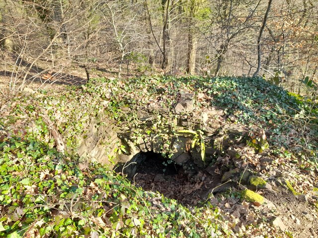
The area is known for its rich industrial history, particularly in the coal mining industry. Baglan was once home to several coal mines, which played a significant role in the local economy during the 19th and early 20th centuries. Today, the remnants of these mines can still be seen in the landscape.
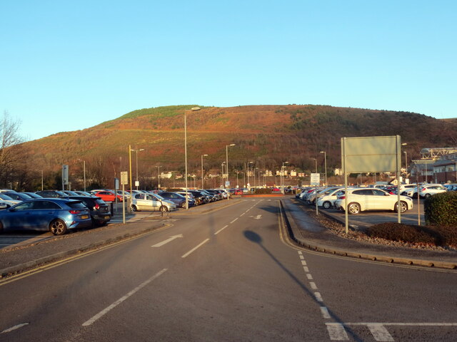
Despite its industrial past, Baglan has undergone significant redevelopment in recent years. The construction of the Baglan Energy Park, a large industrial and commercial development, has brought new job opportunities to the area. This has helped to diversify the local economy and provide a boost to the community.
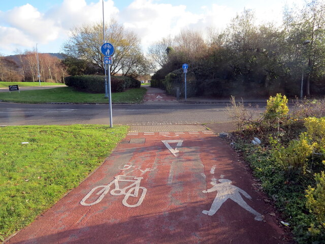
Baglan is also home to several amenities and facilities that serve its residents. These include schools, a community center, a library, and various shops and businesses. The community is well-connected to nearby towns and cities, with good transport links, including a railway station.
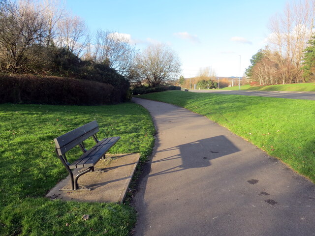
In terms of natural beauty, Baglan is surrounded by picturesque landscapes, including rolling hills and valleys. The area offers opportunities for outdoor activities, such as hiking and cycling.
Overall, Baglan is a community with a rich industrial heritage, undergoing revitalization and offering a range of amenities for its residents.
If you have any feedback on the listing, please let us know in the comments section below.
Baglan Images
Images are sourced within 2km of 51.615799/-3.796668 or Grid Reference SS7592. Thanks to Geograph Open Source API. All images are credited.


Baglan is located at Grid Ref: SS7592 (Lat: 51.615799, Lng: -3.796668)
Unitary Authority: Neath Port Talbot
Police Authority: South Wales
What 3 Words
///form.gear.found. Near Briton Ferry, Neath Port Talbot
Nearby Locations
Related Wikis
Baglan (electoral ward)
The Baglan electoral ward includes the communities of Baglan and Baglan Bay, in Neath Port Talbot county borough, Wales. Baglan falls within the parliamentary...

St Catharine's Church, Baglan
St Catharine's Church is the mother church of the parish of Baglan in Port Talbot, South Wales.The church is a Grade I listed building (listed 1 September...
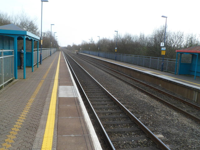
Baglan railway station
Baglan railway station is a minor station in the village of Baglan in Neath Port Talbot county borough, south Wales. It is 204 miles 53 chains (329.4 km...

Baglan Dragons F.C.
Baglan Dragons Association Football Club is a Welsh football team based in Baglan, Port Talbot, Wales. They play in the Cymru South, which is in the second...
Nearby Amenities
Located within 500m of 51.615799,-3.796668Have you been to Baglan?
Leave your review of Baglan below (or comments, questions and feedback).