Bagillt
Community in Flintshire
Wales
Bagillt

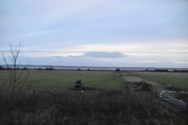
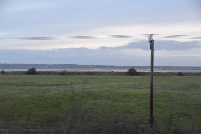
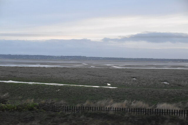
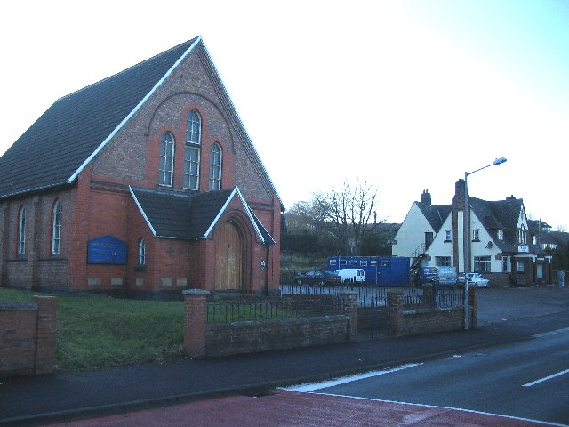
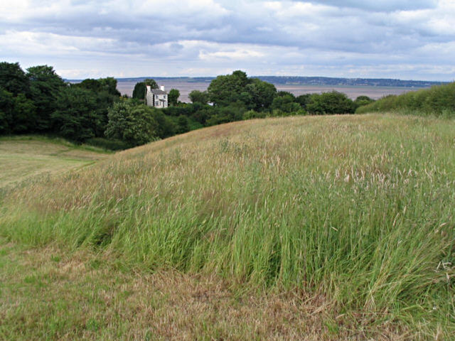
Bagillt is a small community located in the county of Flintshire, Wales. Situated on the North Wales coast, it lies on the eastern bank of the Dee Estuary, across from the city of Liverpool. The community is primarily residential and has a population of around 4,500 people.
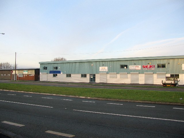
Bagillt has a rich history dating back to Roman times, with evidence of settlements and forts in the area. The community grew during the Industrial Revolution, with the establishment of coal mines, chemical works, and a lead smelter. However, these industries have since declined, and Bagillt is now mainly a commuter town.
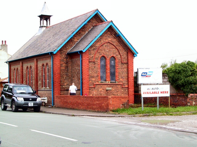
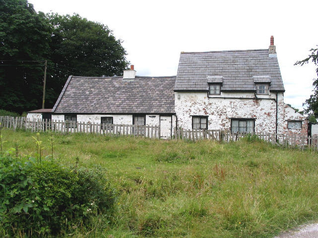
The community offers a range of amenities and facilities to its residents. It has a primary school, a community center, and several local shops and businesses. The nearby towns of Flint and Holywell provide additional services and shopping opportunities.
Bagillt is known for its beautiful natural surroundings. It is situated near the Clwydian Range, an Area of Outstanding Natural Beauty, offering stunning views and opportunities for outdoor activities such as hiking and wildlife spotting. The community is also close to several sandy beaches, providing residents with options for seaside leisure.
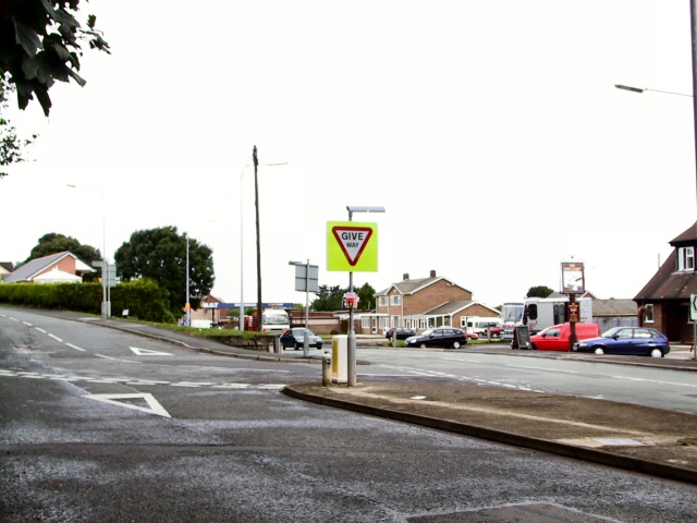
Transportation in Bagillt is mainly reliant on road connections. The A548 road runs through the community, connecting it to nearby towns and providing access to the wider road network. The nearest railway station is in Flint, allowing for easy travel to other parts of Wales and England.
Overall, Bagillt is a peaceful community with a rich history, offering its residents a pleasant coastal lifestyle and convenient access to both natural beauty and urban amenities.
If you have any feedback on the listing, please let us know in the comments section below.
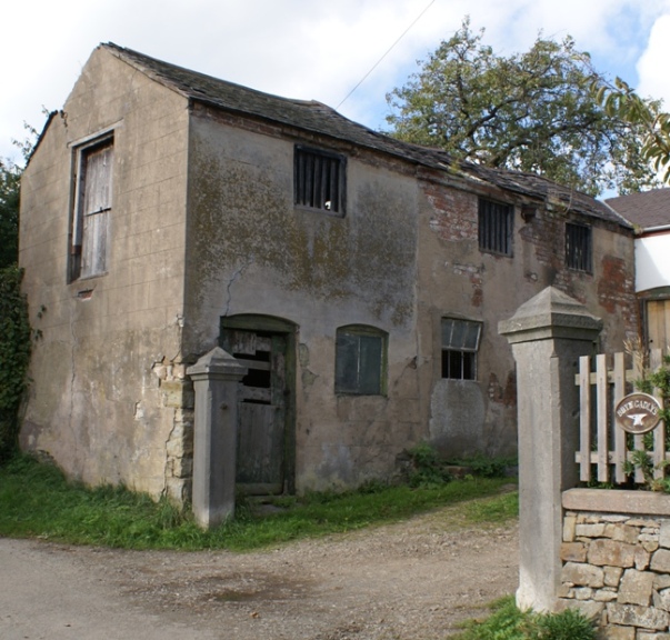
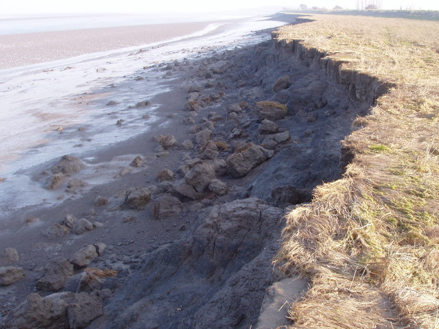
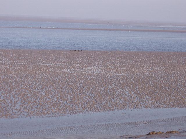
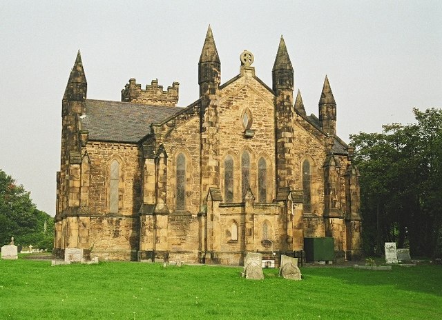
Bagillt Images
Images are sourced within 2km of 53.274939/-3.164214 or Grid Reference SJ2275. Thanks to Geograph Open Source API. All images are credited.


Bagillt is located at Grid Ref: SJ2275 (Lat: 53.274939, Lng: -3.164214)
Unitary Authority: Flintshire
Police Authority: North Wales
What 3 Words
///parkland.motion.offers. Near Bagillt, Flintshire
Nearby Locations
Related Wikis
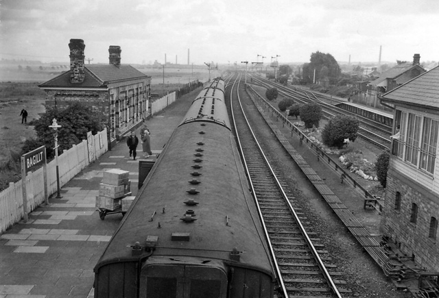
Bagillt railway station
Bagillt railway station was a railway station serving the village of Bagillt on the North Wales Coast Line in the Welsh county of Flintshire. Although...
Bagillt
Bagillt (; Welsh pronunciation: [ˈbaɡɪɬt]) is a market town and community in Flintshire, Wales. The town overlooks the Dee Estuary and is between the towns...

Dee Regulation Scheme
The Dee regulation scheme is a system of flow balancing and quality management along the River Dee managed by a consortium of the three largest water companies...

District of Delyn
Delyn was a local government district with borough status from 1974 to 1996, being one of six districts in the county of Clwyd, north-east Wales. ��2...
Whelston
Whelston is part of the West ward of Bagillt community council in Flintshire, Wales. It is just off the A548 coast road, and has been signposted as Boot...

Flintshire (historic)
Flintshire (Welsh: Sir y Fflint), also known as the County of Flint, is one of Wales' thirteen historic counties, and a former administrative county (and...

Delyn (UK Parliament constituency)
Delyn is a constituency represented in the House of Commons of the UK Parliament since 2019 by Rob Roberts, who was elected as a Conservative, but currently...

Delyn (Senedd constituency)
Delyn is a constituency of the Senedd. It elects one Member of the Senedd by the first past the post method of election. Also, however, it is one of nine...
Nearby Amenities
Located within 500m of 53.274939,-3.164214Have you been to Bagillt?
Leave your review of Bagillt below (or comments, questions and feedback).