Aberdâr Dwyrain
Community in Glamorgan
Wales
Aberdâr Dwyrain

Aberdâr Dwyrain is a small community located in Glamorgan, a historic county in Wales. Situated in the southern part of the country, Aberdâr Dwyrain is known for its picturesque landscapes and rich history.
The community is surrounded by rolling hills and lush green valleys, offering breathtaking views of the countryside. It is also home to several rivers and streams, adding to the natural beauty of the area. The climate in Aberdâr Dwyrain is generally mild, with warm summers and cool winters.
Historically, Aberdâr Dwyrain was an important mining area, with coal being the main resource. The mining industry played a significant role in shaping the community's economy and culture. Today, remnants of the coal mining era can still be seen, such as old mine shafts and buildings.
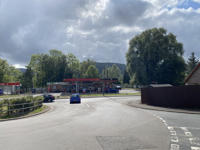
In terms of facilities and amenities, Aberdâr Dwyrain has a range of services to cater to its residents. There are local shops, schools, and community centers that provide essential services to the community. The area is also well-connected, with good transportation links to nearby towns and cities.
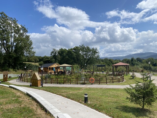
For outdoor enthusiasts, Aberdâr Dwyrain offers a range of recreational activities. The surrounding countryside provides ample opportunities for hiking, cycling, and horseback riding. There are also several parks and nature reserves in the area, where visitors can enjoy picnics and wildlife spotting.
In conclusion, Aberdâr Dwyrain is a small community in Glamorgan that offers a beautiful natural environment, a rich history, and a range of amenities for its residents and visitors.
If you have any feedback on the listing, please let us know in the comments section below.
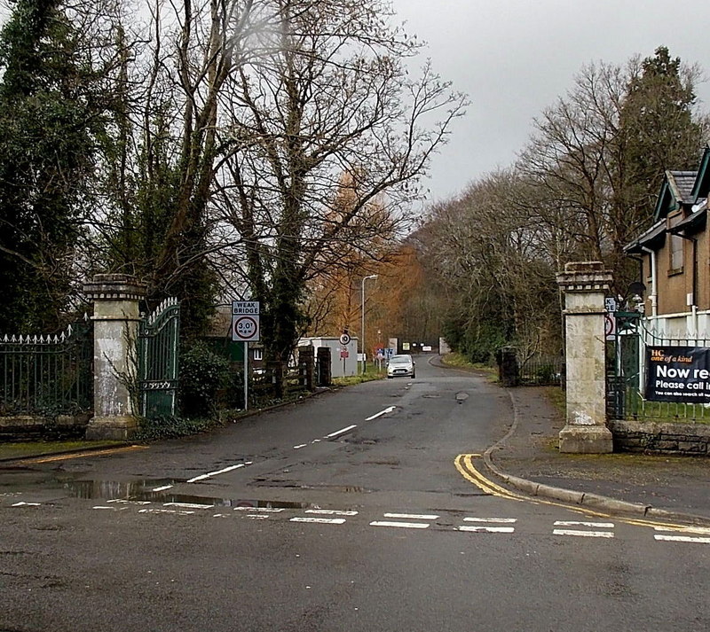
Aberdâr Dwyrain Images
Images are sourced within 2km of 51.721675/-3.431511 or Grid Reference SO0103. Thanks to Geograph Open Source API. All images are credited.


Aberdâr Dwyrain is located at Grid Ref: SO0103 (Lat: 51.721675, Lng: -3.431511)
Unitary Authority: Rhondda Cynon Taf
Police Authority: South Wales
Also known as: Aberdare East
What 3 Words
///vote.snow.moss. Near Aberdare, Rhondda Cynon Taf
Nearby Locations
Related Wikis
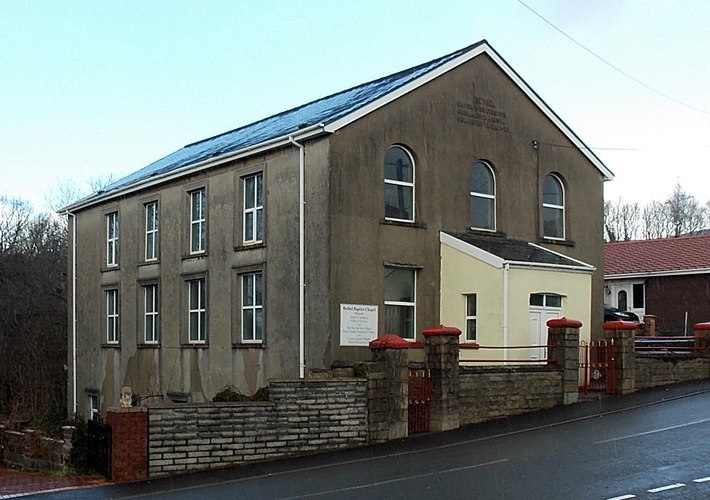
Bethel Chapel, Abernant
Bethel, Abernant is a Baptist Chapel at Abernant in the Aberdare Valley in Wales and one of the few nonconformist chapels in the area that remained open...

St Matthew's Church, Abernant
St Matthew's Church, Abernant is in the Parish of Aberdare in Rhondda Cynon Taf. It is one of only a handful of tin tabernacles left in Wales. The church...

Abernant railway station
Abernant railway station served the village of Abernant in Wales. Served by the Vale of Neath railway, the station lay at the other end of the 2497 yard...

Abernant, Rhondda Cynon Taf
Abernant (or Abernant-y-Wenallt) is a small village north-east of the town of Aberdare, Rhondda Cynon Taf, Wales. Like many in the South Wales Valleys...
Aberdare General Hospital
Aberdare General Hospital (Welsh: Ysbyty Cyffredinol Aberdâr) was a health facility on Abernant Road, Aberdare, Rhondda Cynon Taf, Wales. It was managed...

Aberdare Girls' School
Aberdare Girls' School was a state secondary school for girls aged 11–18 in the town of Aberdare, Rhondda Cynon Taf, Wales. It closed in July 2014. �...
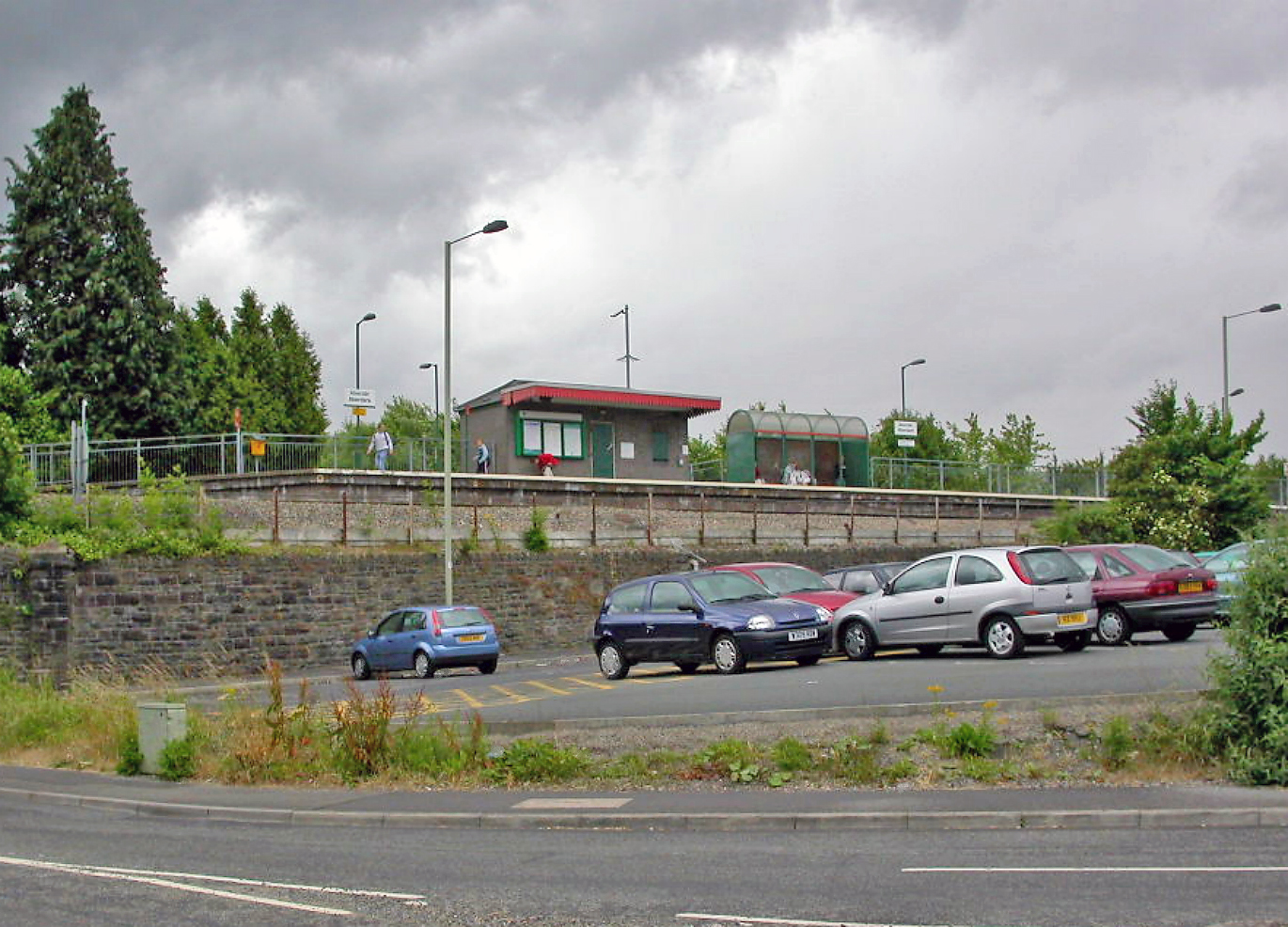
Aberdare railway station
Aberdare railway station (Welsh: Aberdâr) is a railway station serving the town of Aberdare in Rhondda Cynon Taf, Wales. It is the terminus of the Aberdare...
Ynys (Aberdare)
The Athletic Ground, also known as Aberdare Stadium and the Ynys Stadium, was a mixed sports venue in Aberdare, Wales, which was predominantly used for...
Nearby Amenities
Located within 500m of 51.721675,-3.431511Have you been to Aberdâr Dwyrain?
Leave your review of Aberdâr Dwyrain below (or comments, questions and feedback).