Abenbury

Community in Denbighshire

Wales

Abenbury

The former Bryn Estyn Bryn Estyn was built for a Wrexham brewer in 1902-3, and became a secure school after WW2. It became notorious as the centre of a high level paedophile ring, and after closing, and a brief tenure as council offices, it is now scheduled for demolition.
The former Bryn Estyn Credit: Mike Parker

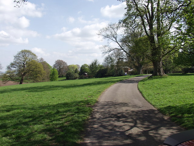
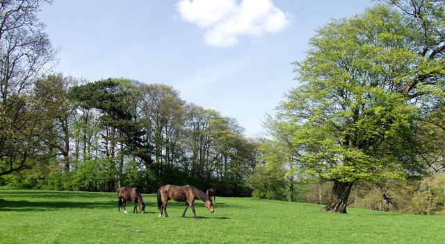
Abenbury is a small community located in the county of Denbighshire, Wales. It is situated in the northeastern part of the country, near the border with England. The community is surrounded by picturesque countryside and is known for its tranquil and scenic beauty.

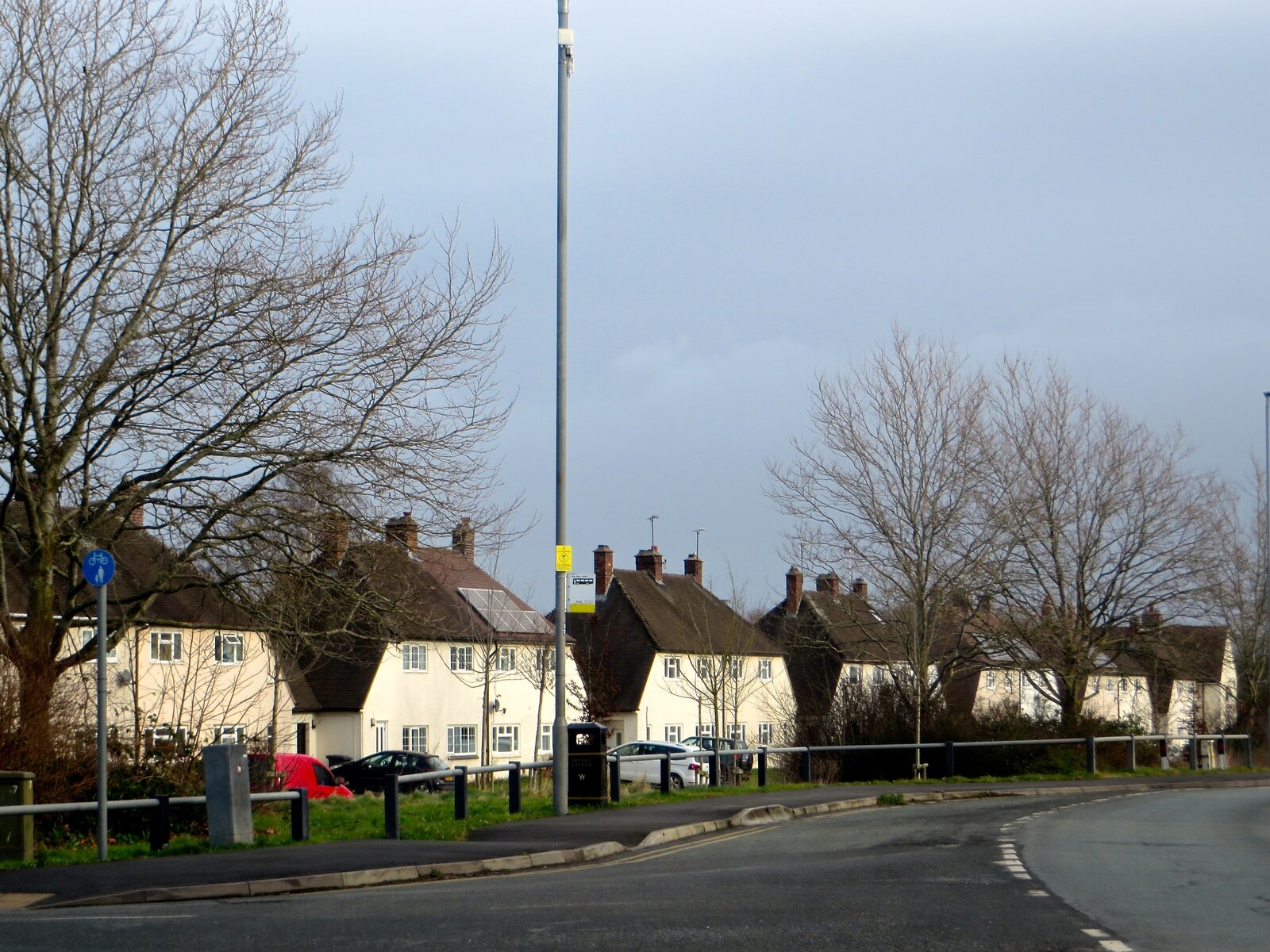
The population of Abenbury is relatively small, with just a few hundred residents. The community is predominantly residential, with a few local businesses catering to the needs of the residents. The area is known for its close-knit community spirit, with many residents actively involved in community events and initiatives.

Abenbury benefits from its proximity to the larger town of Wrexham, which is just a short drive away. This provides residents with access to a wider range of amenities, including shopping centers, restaurants, and entertainment venues. The town also offers excellent transportation links, making it easy for residents to commute to neighboring towns and cities for work or leisure.

The natural surroundings of Abenbury offer numerous outdoor recreational opportunities. The nearby countryside provides ample opportunities for hiking, biking, and exploring the great outdoors. Additionally, the community is home to several parks and green spaces, providing residents with places to relax and enjoy nature.

Overall, Abenbury is a peaceful and close-knit community that offers a high quality of life for its residents. Its beautiful countryside, strong community spirit, and convenient location make it an attractive place to live for those seeking a quieter way of life while still having access to larger towns and cities.

If you have any feedback on the listing, please let us know in the comments section below.
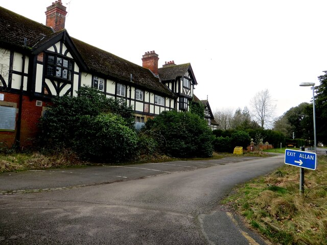
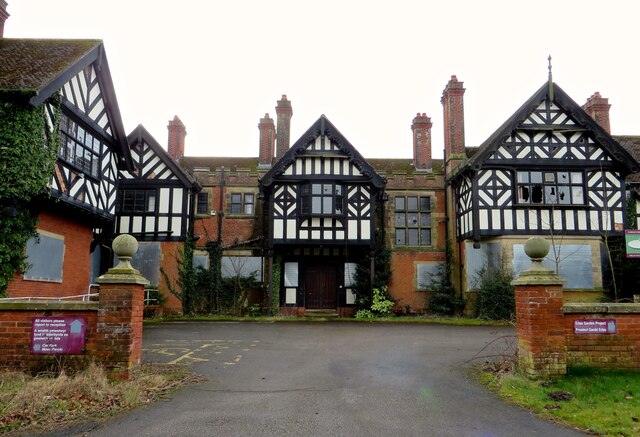
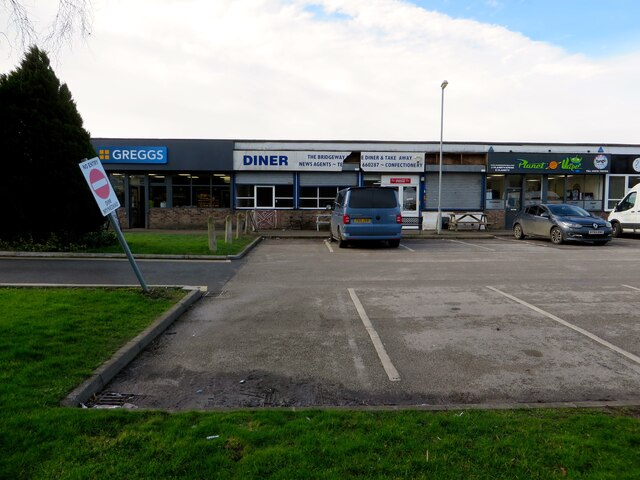
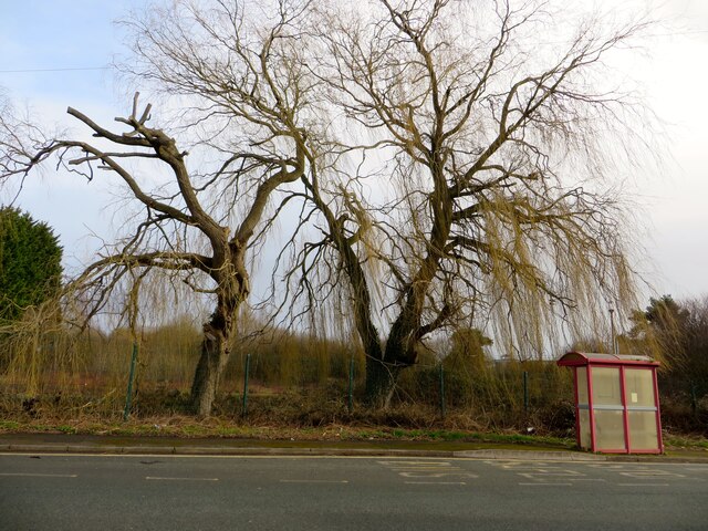
Abenbury Images

Images are sourced within 2km of 53.040668/-2.945333 or Grid Reference SJ3649. Thanks to Geograph Open Source API. All images are credited.

The former Bryn Estyn Bryn Estyn was built for a Wrexham brewer in 1902-3, and became a secure school after WW2. It became notorious as the centre of a high level paedophile ring, and after closing, and a brief tenure as council offices, it is now scheduled for demolition.
The former Bryn Estyn
Bryn Estyn was built for a Wrexham brewer in 1902-3, and became a secure school after WW2. It became notorious as the centre of a high level paedophile ring, and after closing, and a brief tenure as council offices, it is now scheduled for demolition.
Shop parade on the Wrexham Industrial Estate
Safle Bws / Bus Stop On the Wrexham Industrial Estate.
Safle Bws / Bus Stop
On the Wrexham Industrial Estate.
Housing at Pentre Maelor A spacious estate, built around a huge green between 1948 - 52 for workers at the Firestone factory.
Housing at Pentre Maelor
A spacious estate, built around a huge green between 1948 - 52 for workers at the Firestone factory.
HMP Berwyn A windy day, as can be seen by the flags flying at HMP Berwyn.
HMP Berwyn
A windy day, as can be seen by the flags flying at HMP Berwyn.
Former railway line, now footpath
On the right side of the fence On the other side, largely hidden by foliage, is the sewage works.
On the right side of the fence
On the other side, largely hidden by foliage, is the sewage works.
Edge of harvested field
Llwyn-onn Hall Hotel, Wrexham
Waste Incinerator on Wrecsam Industrial Estate Waste incinerator on this busy industrial estate with Factories of many famous names.
Waste Incinerator on Wrecsam Industrial Estate
Waste incinerator on this busy industrial estate with Factories of many famous names.
Wrecsam Industrial Estate A smaller set of developing units on Clwydedog Road South.
Wrecsam Industrial Estate
A smaller set of developing units on Clwydedog Road South.
Contaminated and derelict land Wrecsam Industrial Estate The area was previously used for armaments manufacture and is believed to be contaminated. It is about to be redeveloped.
Contaminated and derelict land Wrecsam Industrial Estate
The area was previously used for armaments manufacture and is believed to be contaminated. It is about to be redeveloped.
Derelict land on Wrecsam Industrial Estate Previously used land now awaiting development.
Derelict land on Wrecsam Industrial Estate
Previously used land now awaiting development.
A redundant and sadly neglected "Tin Chapel" A sad sight, what was a very superior "Tin Chapel" is no longer used and the elements are doing their worst. See SJ2750 for a chapel still in use.
A redundant and sadly neglected "Tin Chapel"
A sad sight, what was a very superior "Tin Chapel" is no longer used and the elements are doing their worst. See SJ2750 for a chapel still in use.
Five Fords sewage works, Wrecsam eastern outfall A large modern sewage works operated by Dwr Cymru with outfall into Afon Clywedog.
Five Fords sewage works, Wrecsam eastern outfall
A large modern sewage works operated by Dwr Cymru with outfall into Afon Clywedog.
Cefn Park, Wrexham An estate on the eastern edge of Wrecsam.
Cefn Park, Wrexham
An estate on the eastern edge of Wrecsam.
Cefn Park, Wrecsam Horses grazing in the park. These horses are tattooed, branded and microchipped!! A sign of the times.
Cefn Park, Wrecsam
Horses grazing in the park. These horses are tattooed, branded and microchipped!! A sign of the times.
Show me another place!

Abenbury is located at Grid Ref: SJ3649 (Lat: 53.040668, Lng: -2.945333)

Unitary Authority: Wrexham

Police Authority: North Wales

What 3 Words

///coconut.breached.skater. Near Marchwiel, Wrexham

Nearby Locations

Abenbury

Related Wikis

Pentre Maelor

Pentre Maelor is a housing estate near Wrexham Industrial Estate in Wrexham County Borough, Wales. In the 2011 census, its built-up area had a population...
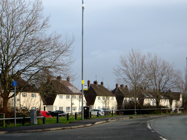
Abenbury

Abenbury is a community in Wrexham County Borough, Wales. It is situated south-east of Wrexham city and includes the village of Pentre Maelor and part...
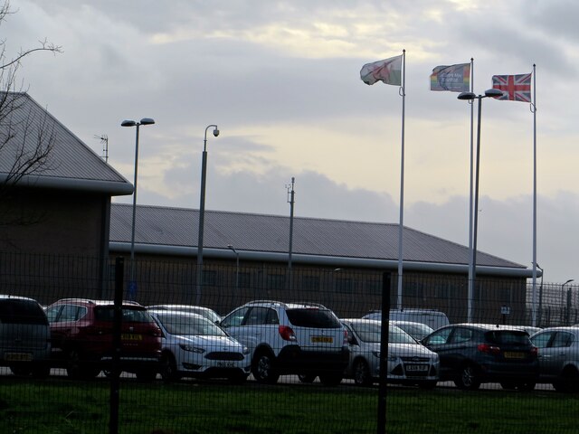
HM Prison Berwyn

HM Prison Berwyn (Welsh: Carchar Berwyn EF; Welsh: ['bɛrwɪn]) is a £250 million Category C adult male prison in Wrexham County Borough, Wales. It is the...

Marchwiel power station

Marchwiel power station was an electricity generating plant providing a central source of electric current for the Marchwiel Trading Estate near Wrexham...

Nearby Amenities

Located within 500m of 53.040668,-2.945333
Place: farm
Lat/Long: 53.0413371/-2.9477486
The data included in this document is from www.openstreetmap.org. The data is made available under ODbL.

Have you been to Abenbury?

Leave your review of Abenbury below (or comments, questions and feedback).