Penllyn

Community in Glamorgan

Wales

Penllyn

Lane south of Llanharry
Lane south of Llanharry Credit: Colin Pyle

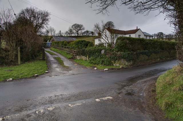
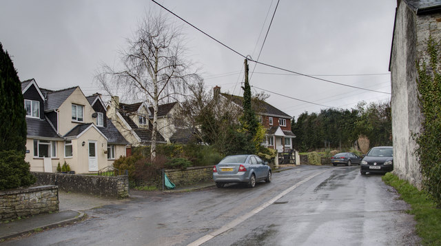
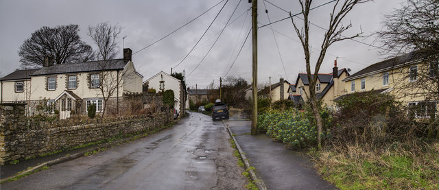
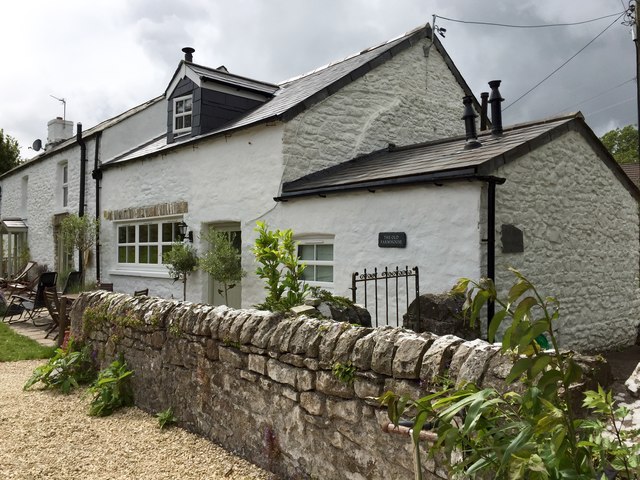
Penllyn is a community located in the county of Glamorgan, Wales. Situated in the Vale of Glamorgan, Penllyn is a rural area surrounded by beautiful countryside and picturesque landscapes. It is composed of several small hamlets and villages, including Penllyn, Llanblethian, and Llandough.

The community is known for its rich history, with evidence of human settlement dating back to the Bronze Age. The area has seen various influences throughout the centuries, including Roman and Norman occupations. Today, remnants of this history can still be found in the form of ancient monuments, such as burial mounds and medieval churches.

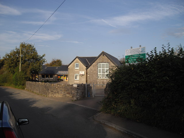
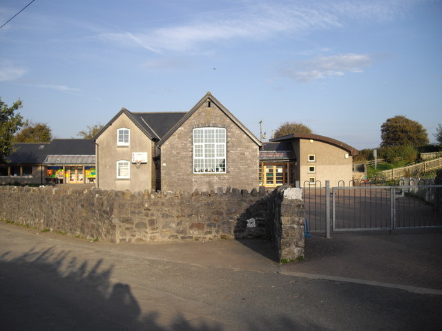
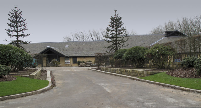
Despite its small size, Penllyn offers a range of amenities and services to its residents. It is home to a primary school, community center, and a number of local businesses, including shops and restaurants. The community also benefits from its proximity to larger towns and cities, such as Cowbridge and Bridgend, which provide additional facilities and employment opportunities.

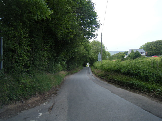
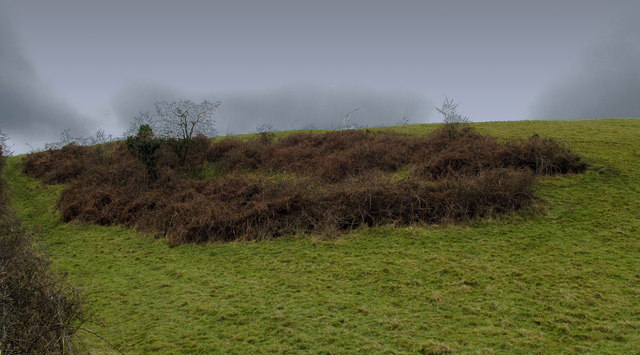
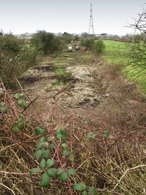
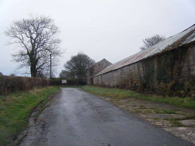
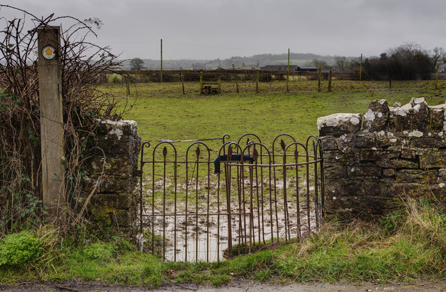
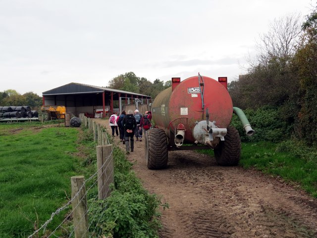
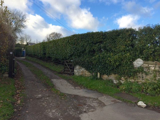
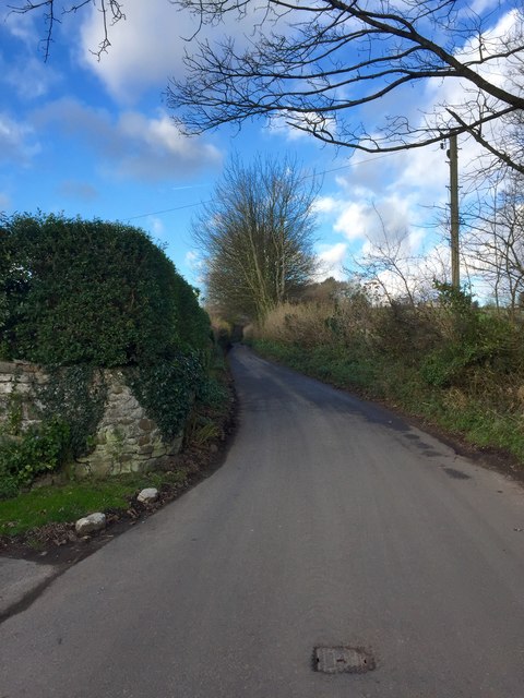
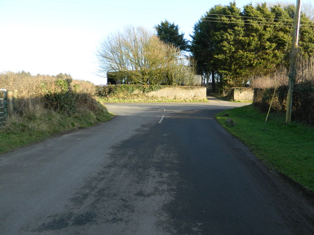
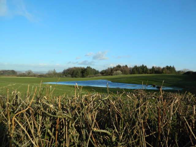
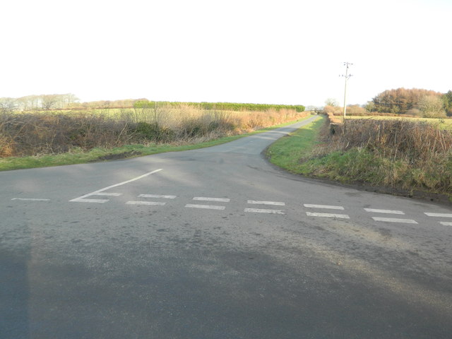
One of the main attractions of Penllyn is its natural beauty. The area is dotted with rolling hills, green fields, and meandering rivers, making it a popular destination for outdoor enthusiasts. Walking and cycling trails provide opportunities to explore the countryside, while fishing and boating can be enjoyed in the nearby rivers and lakes.

Overall, Penllyn is a charming community that combines a rich history with stunning natural surroundings. Its rural setting, combined with its amenities and proximity to larger towns, makes it an attractive place to live for those seeking a peaceful and idyllic lifestyle.

If you have any feedback on the listing, please let us know in the comments section below.

Penllyn Images

Images are sourced within 2km of 51.488649/-3.455212 or Grid Reference SS9777. Thanks to Geograph Open Source API. All images are credited.

Lane south of Llanharry
Llansannor & Llanharry Church in Wales Primary School
Enclosure Earthwork near Ystradowen The enclosure appears to have been used to keep stock rather than for human habitation.
Enclosure Earthwork near Ystradowen
The enclosure appears to have been used to keep stock rather than for human habitation.
Jane Hodge Hotel The hotel provides holiday accommodation for people with disabilities.
Jane Hodge Hotel
The hotel provides holiday accommodation for people with disabilities.
Line of the Cowbridge Railway Looking south along the disused Cowbridge Railway from a road bridge
Line of the Cowbridge Railway
Looking south along the disused Cowbridge Railway from a road bridge
Lane at Uplands Farm
Bridleway Entrance The bridleway is a shortcut to Llansannor
Bridleway Entrance
The bridleway is a shortcut to Llansannor
Tererhyngyll Village The village still retains its very rural farming way of life in spite of the modern housing.
Tererhyngyll Village
The village still retains its very rural farming way of life in spite of the modern housing.
Kissing Gate and Stile, Tererhyngyll The entrance to one of the many footpaths in the area.
Kissing Gate and Stile, Tererhyngyll
The entrance to one of the many footpaths in the area.
Tererhyngyll Village A mixture of old and new housing in the village.
Tererhyngyll Village
A mixture of old and new housing in the village.
Ffarm Newton House Farm Cerddwyr yn dilyn llwybr cyhoeddus tuag at Ffarm Newton House.

Walkers following a public footpath towards Newton House Farm
Ffarm Newton House Farm
Cerddwyr yn dilyn llwybr cyhoeddus tuag at Ffarm Newton House. Walkers following a public footpath towards Newton House Farm
The Old Farmhouse The Old Farmhouse, Trerhyngyll.
The Old Farmhouse
The Old Farmhouse, Trerhyngyll.
Entrance to Efail y Roper Dwelling near Trerhyngyll.
Entrance to Efail y Roper
Dwelling near Trerhyngyll.
Road above Trerhyngyll Country road north of Trerhyngyll.
Road above Trerhyngyll
Country road north of Trerhyngyll.
Road junction near Newforest House Farm
Grassland and pond, Newforest House Farm
Road junction north of Newforest House Farm
Show me another place!

Penllyn is located at Grid Ref: SS9777 (Lat: 51.488649, Lng: -3.455212)

Unitary Authority: The Vale of Glamorgan

Police Authority: South Wales

What 3 Words

///encounter.difficult.pocket. Near Penllyn, Vale of Glamorgan

Nearby Locations

Penllyn Graig Penllyn

Related Wikis

St Senwyr's Church

St Senwyr's Church is a Grade I listed church in Llansannor, in the Vale of Glamorgan, south Wales. It became a Grade I listed building on 22 February...

Llansannor

Llansannor (Welsh: Llansanwyr) is a small hamlet in the Vale of Glamorgan, Wales, United Kingdom. It has a population of roughly 200 people. It contains...
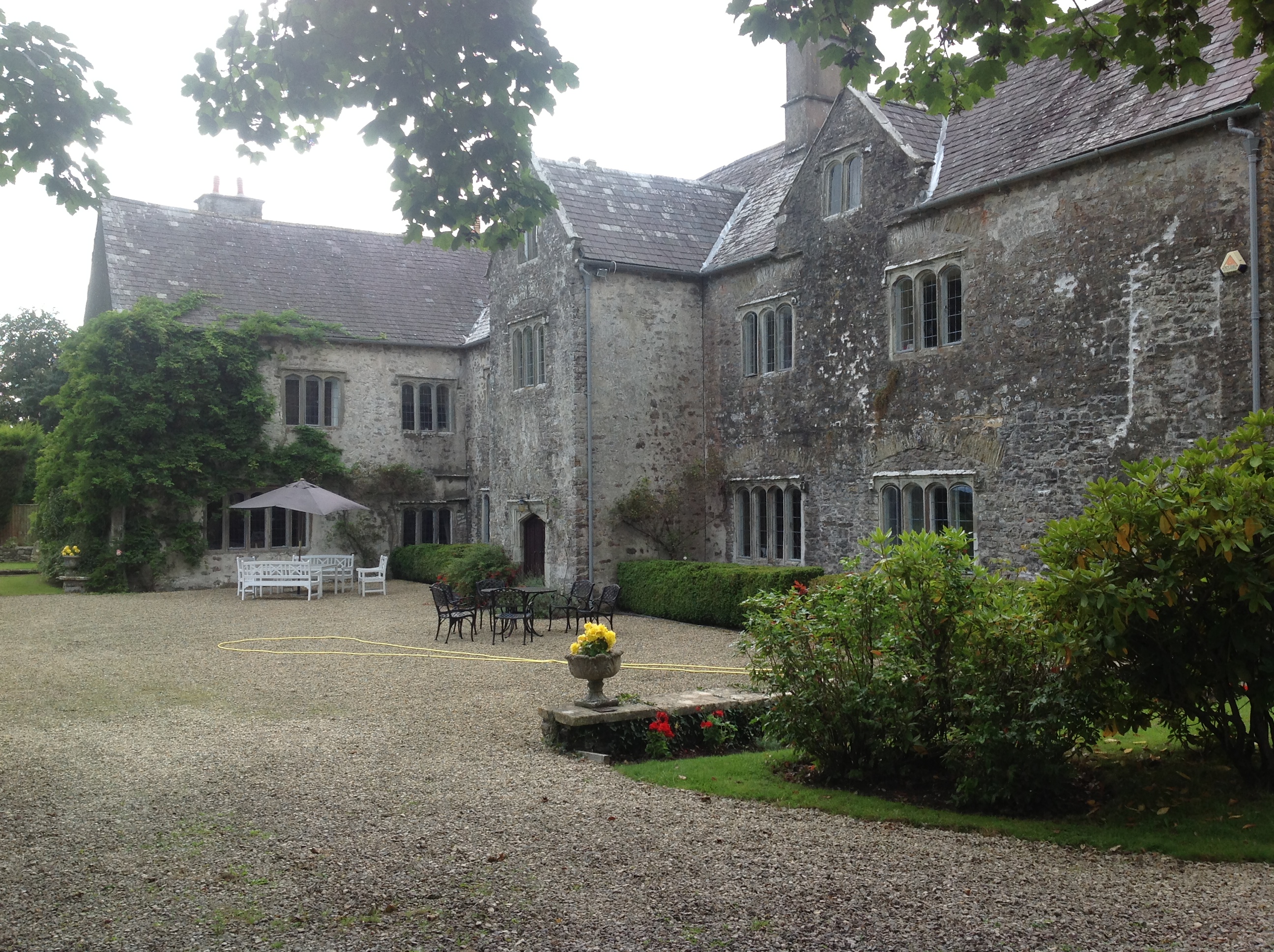
Llansannor Court

Llansannor Court is a Grade I listed building in Llansannor, near Cowbridge in the Vale of Glamorgan, south Wales. It became a Grade I listed building...

City, Vale of Glamorgan

City is a small village in the Vale of Glamorgan, Wales, United Kingdom. == Location == It is quite near to the town of Cowbridge. == Origin of the... ==

Nearby Amenities

Located within 500m of 51.488649,-3.455212
Place Of Worship
Religion: christian
Lat/Long: 51.4875181/-3.4508118
Church Farm
Place: farm
Source: OS_OpenData_StreetView
Lat/Long: 51.4889732/-3.4487336
Name Cy: Llansanwyr
Name En: Llansannor
Place: hamlet
Source: OS_OpenData_StreetView
Wikidata: Q13644943
Lat/Long: 51.487022/-3.4516152
Addr Housename: The Old Mill
Lat/Long: 51.4893061/-3.4546101
Addr Housename: Chatwood
Lat/Long: 51.4882514/-3.4599162
Addr Housename: Forge Cottage
Lat/Long: 51.4878877/-3.4509559
Direction: W
Generator Method: photovoltaic
Generator Output Electricity: yes
Generator Solar Modules: 13
Generator Source: solar
Generator Type: solar_photovoltaic_panel
Location: roof
Power: generator
Lat/Long: 51.48934/-3.4546369
Direction: 170
Generator Method: photovoltaic
Generator Output Electricity: yes
Generator Solar Modules: 6
Generator Source: solar
Generator Type: solar_photovoltaic_panel
Location: roof
Power: generator
Lat/Long: 51.4866777/-3.4531993
Direction: 165
Generator Method: photovoltaic
Generator Output Electricity: yes
Generator Solar Modules: 11
Generator Source: solar
Generator Type: solar_photovoltaic_panel
Location: roof
Power: generator
Lat/Long: 51.4867512/-3.4532475
Direction: S
Generator Method: photovoltaic
Generator Output Electricity: yes
Generator Solar Modules: 12
Generator Source: solar
Generator Type: solar_photovoltaic_panel
Location: roof
Power: generator
Lat/Long: 51.4873208/-3.4530008
The data included in this document is from www.openstreetmap.org. The data is made available under ODbL.

Have you been to Penllyn?

Leave your review of Penllyn below (or comments, questions and feedback).