Graig Penllyn

Settlement in Glamorgan

Wales

Graig Penllyn

Chimney at former Llangan Lead Mine This chimney is all that is left of the Llangan Lead Mine which was active from 1855 to 1879. The site had been worked in the 18th century but was reopened to expolit a seam of lead and silver. The chimney stands solitary and somewhat incongruous in a private field in the glorious Vale of Glamorgan countryside but is a grade II listed structure.
Chimney at former Llangan Lead Mine Credit: Colin Cheesman

The requested URL returned error: 429 Too Many Requests

If you have any feedback on the listing, please let us know in the comments section below.

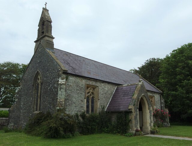
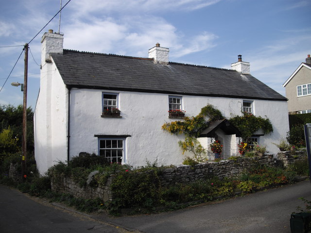
Graig Penllyn Images

Images are sourced within 2km of 51.488104/-3.475932 or Grid Reference SS9777. Thanks to Geograph Open Source API. All images are credited.

Chimney at former Llangan Lead Mine This chimney is all that is left of the Llangan Lead Mine which was active from 1855 to 1879. The site had been worked in the 18th century but was reopened to expolit a seam of lead and silver. The chimney stands solitary and somewhat incongruous in a private field in the glorious Vale of Glamorgan countryside but is a grade II listed structure.
Chimney at former Llangan Lead Mine
This chimney is all that is left of the Llangan Lead Mine which was active from 1855 to 1879. The site had been worked in the 18th century but was reopened to expolit a seam of lead and silver. The chimney stands solitary and somewhat incongruous in a private field in the glorious Vale of Glamorgan countryside but is a grade II listed structure.
Church of St John the Evangelist, Penllyn Built c1850 for John Homfray of Penllyn Castle to give a nearer church for Penllyn village as well as the Castle. The parish church had been St Brynach which is 1.5 kilometres south and in a very rural location until recently. The church is largely unaltered and is listed as Grade II by Cadw.
Church of St John the Evangelist, Penllyn
Built c1850 for John Homfray of Penllyn Castle to give a nearer church for Penllyn village as well as the Castle. The parish church had been St Brynach which is 1.5 kilometres south and in a very rural location until recently. The church is largely unaltered and is listed as Grade II by Cadw.
Church of St Canna, Langan Probably 12th century in origin and plan, with the core walling possibly surviving in part, though very limited. Possibly 14th century rood stair and chancel arch. Some 16th century fabric may survive in the porch, but the church was externally almost completely rebuilt probably in 1856. The building has been unaltered since apart from the introduction of electricity.
Cadw listed as Grade II.
Church of St Canna, Langan
Probably 12th century in origin and plan, with the core walling possibly surviving in part, though very limited. Possibly 14th century rood stair and chancel arch. Some 16th century fabric may survive in the porch, but the church was externally almost completely rebuilt probably in 1856. The building has been unaltered since apart from the introduction of electricity. Cadw listed as Grade II.
Lane junction at City
Isycoed Farm
Isycoed Farm
Lane junction west of Isycoed
Road looking north near Ruthin Quarries
Lane at approach to Llangan
Road scene east of Llangan
Road approaching Pentre Meyrick from the north
Former lodge for Penllyn Castle Don't waste your time trying to identify the flowering shrub at the left. the flowers are artificial!
Former lodge for Penllyn Castle
Don't waste your time trying to identify the flowering shrub at the left. the flowers are artificial!
Church of St John the Evangelist, Penllyn
House at Penllyn
House at Penllyn
Church of St John the Evangelist, Penllyn
Country lane, Penllyn
School House, Penllyn Former school converted into a dwelling.
School House, Penllyn
Former school converted into a dwelling.
Cottage, Penllyn
Cottage, Penllyn
Show me another place!

Graig Penllyn is located at Grid Ref: SS9777 (Lat: 51.488104, Lng: -3.475932)

Unitary Authority: The Vale of Glamorgan

Police Authority: South Wales

What 3 Words

///flagged.lifestyle.pounds. Near Penllyn, Vale of Glamorgan

Nearby Locations

Penllyn Graig Penllyn

Related Wikis

City, Vale of Glamorgan

City is a small village in the Vale of Glamorgan, Wales, United Kingdom. == Location == It is quite near to the town of Cowbridge. == Origin of the... ==

Penllyn, Vale of Glamorgan

Penllyn (Welsh: Pen-llin) is a village and community in the Vale of Glamorgan, Wales. It is located north west of the market town of Cowbridge. As a community...
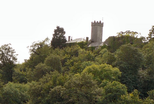
Penllyn Castle

Penllyn Castle is a Norman-style country house, dating mainly from the Victorian period, located in Cowbridge, 4 miles (6.4 km) south-east of Bridgend...
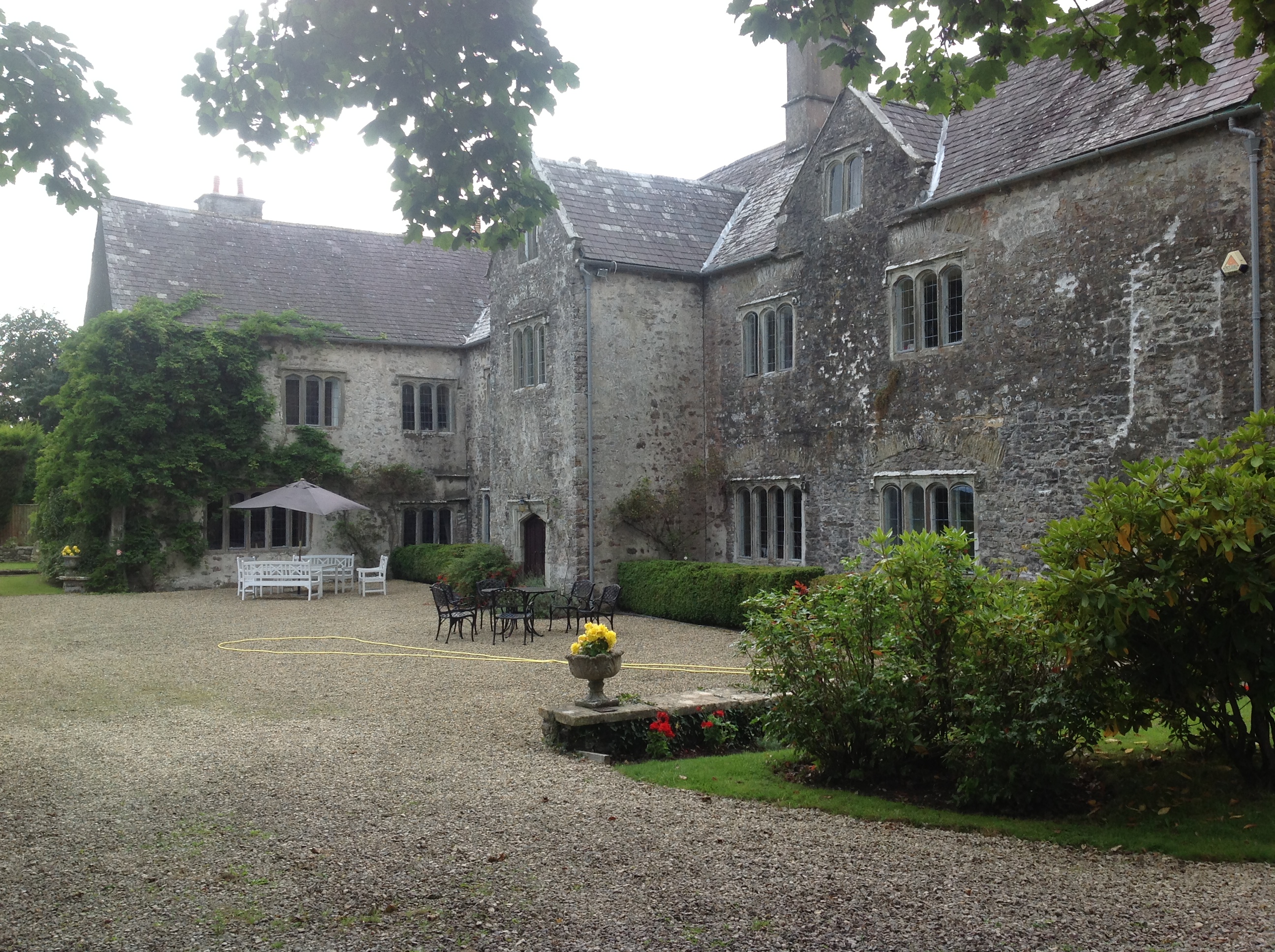
Llansannor Court

Llansannor Court is a Grade I listed building in Llansannor, near Cowbridge in the Vale of Glamorgan, south Wales. It became a Grade I listed building...

Nearby Amenities

Located within 500m of 51.488104,-3.475932
Graig Penllyn
Name Cy: Craig Pen-llin
Place: village
Wikidata: Q107032408
Lat/Long: 51.4888535/-3.4736078
Pub
The Barley Mow
Wikidata: Q80859320
Lat/Long: 51.4851056/-3.4741788
Post Box
Collection Times: Mo-Fr 16:15; Sa 08:15
Operator: Royal Mail
Post Box Mounting: pier
Post Box Type: lamp
Ref: CF71 345
Royal Cypher: EIIR
Royal Cypher Wikidata: Q33102113
Lat/Long: 51.4867866/-3.4738789
Direction: 130
Generator Method: photovoltaic
Generator Output Electricity: yes
Generator Solar Modules: 14
Generator Source: solar
Generator Type: solar_photovoltaic_panel
Location: roof
Power: generator
Lat/Long: 51.4842125/-3.4753811
Direction: 175
Generator Method: photovoltaic
Generator Output Electricity: yes
Generator Solar Modules: 2
Generator Source: solar
Generator Type: solar_photovoltaic_panel
Location: roof
Power: generator
Lat/Long: 51.484934/-3.4737477
Direction: 175
Generator Method: photovoltaic
Generator Output Electricity: yes
Generator Solar Modules: 12
Generator Source: solar
Generator Type: solar_photovoltaic_panel
Location: roof
Power: generator
Lat/Long: 51.4848906/-3.4734312
Direction: 175
Generator Method: photovoltaic
Generator Output Electricity: yes
Generator Solar Modules: 4
Generator Source: solar
Generator Type: solar_photovoltaic_panel
Location: roof
Power: generator
Lat/Long: 51.484937/-3.4735938
Direction: SSW
Generator Method: photovoltaic
Generator Output Electricity: yes
Generator Solar Modules: 9
Generator Source: solar
Generator Type: solar_photovoltaic_panel
Location: roof
Power: generator
Lat/Long: 51.4874469/-3.4726828
Direction: ESE
Generator Method: photovoltaic
Generator Output Electricity: yes
Generator Solar Modules: 12
Generator Source: solar
Generator Type: solar_photovoltaic_panel
Location: roof
Power: generator
Lat/Long: 51.4874348/-3.4728618
The data included in this document is from www.openstreetmap.org. The data is made available under ODbL.

Have you been to Graig Penllyn?

Leave your review of Graig Penllyn below (or comments, questions and feedback).