Aber-biden
Settlement in Brecknockshire
Wales
Aber-biden

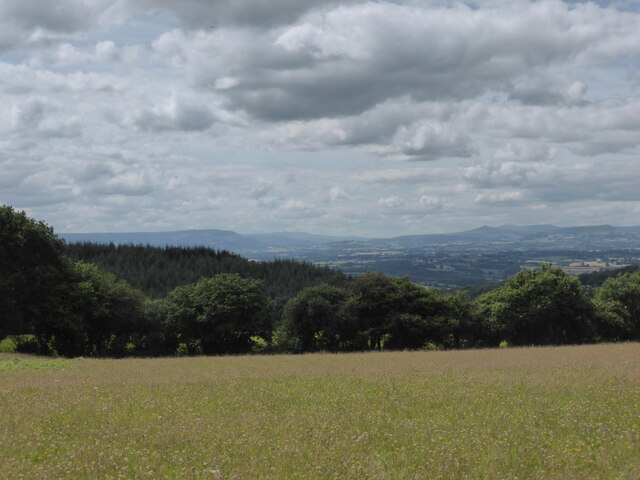
Aber-biden is a small village located in the historic county of Brecknockshire in Wales, United Kingdom. Situated in the picturesque Brecon Beacons National Park, the village is surrounded by breathtaking natural beauty. Aber-biden is nestled in the valley of the River Usk, providing residents and visitors with stunning views of rolling hills and lush green landscapes.
With a population of around 500 people, Aber-biden has a close-knit community that prides itself on its warm and welcoming atmosphere. The village is known for its rich agricultural heritage, with farming playing a significant role in the local economy. Traditional stone-built cottages and farmhouses dot the landscape, adding to the charm and character of Aber-biden.
Although small in size, the village offers a range of amenities to cater to the needs of its residents. These include a village hall, a primary school, a post office, and a local pub, which serves as a social hub for the community. The surrounding area provides ample opportunities for outdoor activities, including hiking, cycling, and fishing, making it a popular destination for nature enthusiasts.
Aber-biden is also steeped in history, with several notable landmarks in close proximity. The ruins of Aber-biden Castle, a medieval fortress dating back to the 12th century, serve as a reminder of the village's past. Additionally, the nearby Brecon Cathedral, founded in the 11th century, attracts visitors from far and wide.
Overall, Aber-biden offers a peaceful and idyllic setting, where residents and visitors can enjoy the tranquility of rural life while immersing themselves in the beauty of the surrounding countryside.
If you have any feedback on the listing, please let us know in the comments section below.
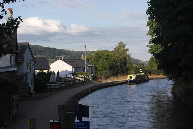
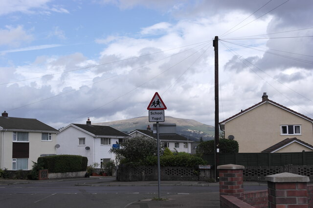
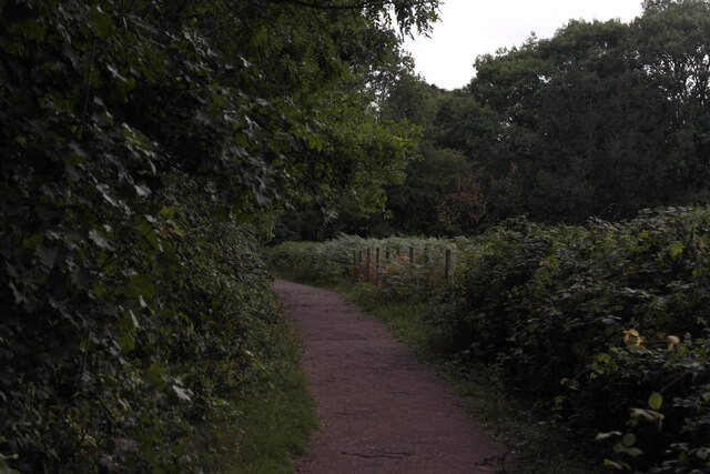
Aber-biden Images
Images are sourced within 2km of 51.819572/-3.0895075 or Grid Reference SO2514. Thanks to Geograph Open Source API. All images are credited.


Aber-biden is located at Grid Ref: SO2514 (Lat: 51.819572, Lng: -3.0895075)
Unitary Authority: Monmouthshire
Police Authority: Gwent
Also known as: Aberbaiden
What 3 Words
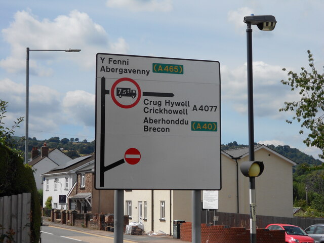
///hairstyle.rejoined.adopting. Near Gilwern, Monmouthshire
Nearby Locations
Related Wikis

Gilwern Halt railway station
Gilwern Halt railway station was a station on the London and North Western Railway's Heads of the Valleys line near the village of Gilwern in the Welsh...

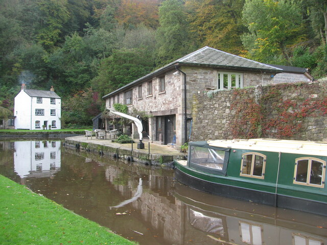
Monmouthshire and Brecon Canal
The Monmouthshire and Brecon Canal (Welsh: Camlas Sir Fynwy a Brycheiniog) is a small network of canals in South Wales. For most of its currently (2018...

Llanwenarth House
Llanwenarth House is a small country house, formerly a hotel, located off the B4246 road, west of Govilon and Llanfoist, just south of Abergavenny in the...

Gilwern
Gilwern is a village within the Brecon Beacons National Park in Monmouthshire, Wales. Historically in Brecknockshire, it extends to either side of the...
Nearby Amenities
Located within 500m of 51.819572,-3.0895075Have you been to Aber-biden?
Leave your review of Aber-biden below (or comments, questions and feedback).