Aberbaiden
Settlement in Brecknockshire
Wales
Aberbaiden

Aberbaiden is a small village located in the county of Brecknockshire, Wales. Nestled in the picturesque Brecon Beacons National Park, Aberbaiden is surrounded by stunning natural beauty and offers a peaceful and idyllic setting for residents and visitors alike.
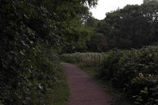
The village is situated near the River Usk, which adds to its charm and provides opportunities for outdoor activities such as fishing and leisurely walks along its banks. The Usk Valley Walk, a popular long-distance trail, passes through Aberbaiden, attracting hikers and nature enthusiasts from far and wide.
Despite its small size, Aberbaiden has a strong sense of community. The village features a quaint local pub, The Usk Inn, where residents gather to socialize and enjoy traditional Welsh hospitality. Additionally, the village has a small primary school, providing education for the local children.
For those seeking a taste of history, Aberbaiden boasts several historic landmarks. The ruins of Aberbaiden Castle, a 12th-century fortification, can be explored, offering insights into the village's medieval past. Nearby, the Brecon Mountain Railway offers train rides through the scenic countryside, providing visitors with an opportunity to learn about the region's industrial heritage.
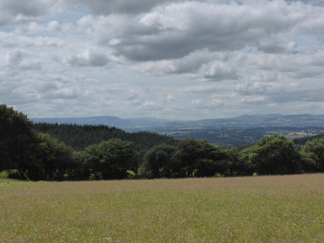
Aberbaiden is also a gateway to the Brecon Beacons, a haven for outdoor enthusiasts. The national park offers a range of activities, including hiking, mountain biking, and horse riding. The stunning peaks and valleys of the park attract adventurers and nature lovers throughout the year.
In conclusion, Aberbaiden is a charming village in Brecknockshire, Wales, offering a tranquil setting amidst breathtaking natural surroundings. With its strong sense of community, historic landmarks, and proximity to the Brecon Beacons National Park, Aberbaiden is a delightful destination for those seeking a peaceful retreat or an outdoor adventure.
If you have any feedback on the listing, please let us know in the comments section below.
Aberbaiden Images
Images are sourced within 2km of 51.819572/-3.0895075 or Grid Reference SO2514. Thanks to Geograph Open Source API. All images are credited.


Aberbaiden is located at Grid Ref: SO2514 (Lat: 51.819572, Lng: -3.0895075)
Unitary Authority: Monmouthshire
Police Authority: Gwent
What 3 Words
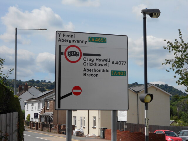
///hairstyle.rejoined.adopting. Near Gilwern, Monmouthshire
Nearby Locations
Related Wikis

Gilwern Halt railway station
Gilwern Halt railway station was a station on the London and North Western Railway's Heads of the Valleys line near the village of Gilwern in the Welsh...

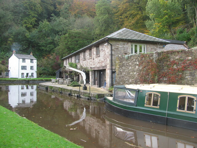
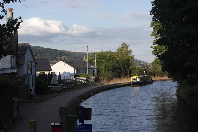
Monmouthshire and Brecon Canal
The Monmouthshire and Brecon Canal (Welsh: Camlas Sir Fynwy a Brycheiniog) is a small network of canals in South Wales. For most of its currently (2018...

Llanwenarth House
Llanwenarth House is a small country house, formerly a hotel, located off the B4246 road, west of Govilon and Llanfoist, just south of Abergavenny in the...

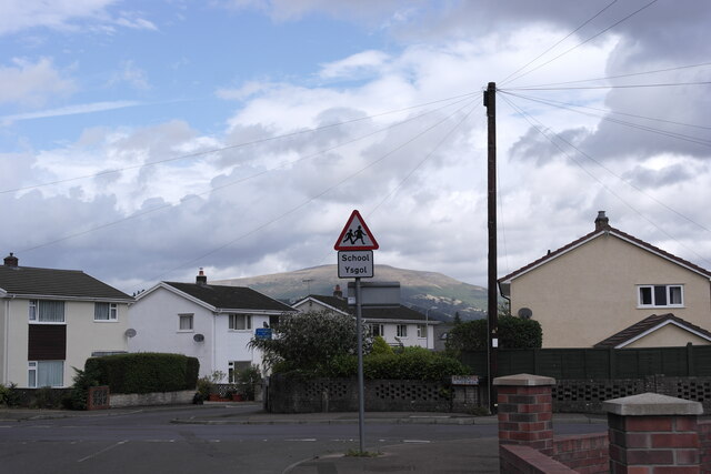
Gilwern
Gilwern is a village within the Brecon Beacons National Park in Monmouthshire, Wales. Historically in Brecknockshire, it extends to either side of the...
Nearby Amenities
Located within 500m of 51.819572,-3.0895075Have you been to Aberbaiden?
Leave your review of Aberbaiden below (or comments, questions and feedback).