Brelston Green
Settlement in Herefordshire
England
Brelston Green
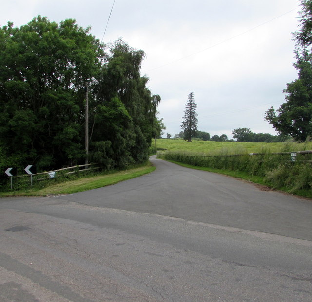
Brelston Green is a small rural village located in the county of Herefordshire, England. Situated amidst picturesque countryside, the village offers a peaceful and idyllic setting for its residents. With a population of around 200 people, Brelston Green is known for its close-knit community and friendly atmosphere.
The village is characterized by its charming traditional cottages, many of which date back several centuries. The architecture reflects the area's rich history, showcasing the rural heritage of Herefordshire. The surrounding landscape is dominated by rolling hills, lush green fields, and meandering streams, providing a stunning backdrop for outdoor activities and scenic walks.
Although predominantly an agricultural area, Brelston Green benefits from its proximity to larger towns such as Hereford and Leominster, which offer a wide range of amenities and services. The village itself boasts a local pub, a village hall, and a primary school, catering to the needs of its residents.
Brelston Green is also known for its annual village fete, a popular event that brings together locals and visitors alike. This vibrant celebration showcases the community spirit of the village, with activities such as live music, traditional games, and local food stalls.
Overall, Brelston Green offers a tranquil and picturesque lifestyle for its residents, with its scenic surroundings, strong sense of community, and easy access to nearby amenities.
If you have any feedback on the listing, please let us know in the comments section below.
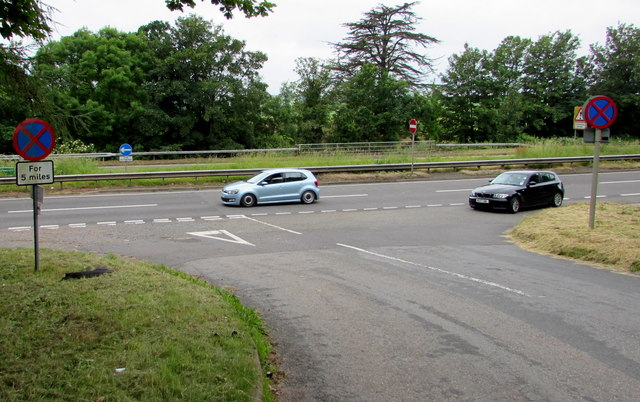
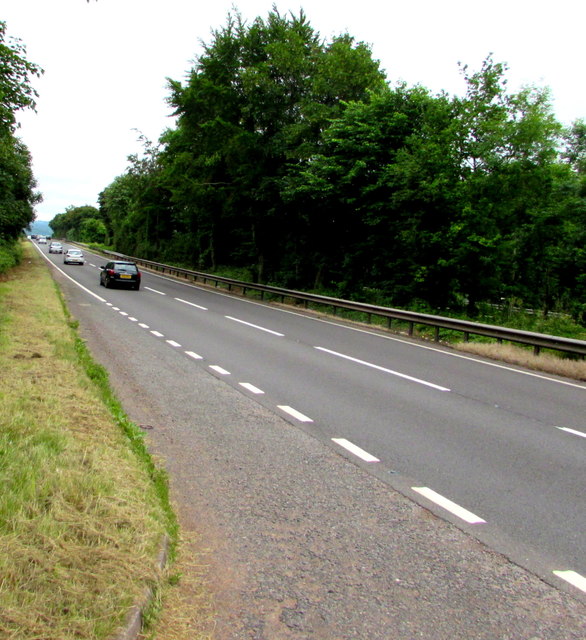
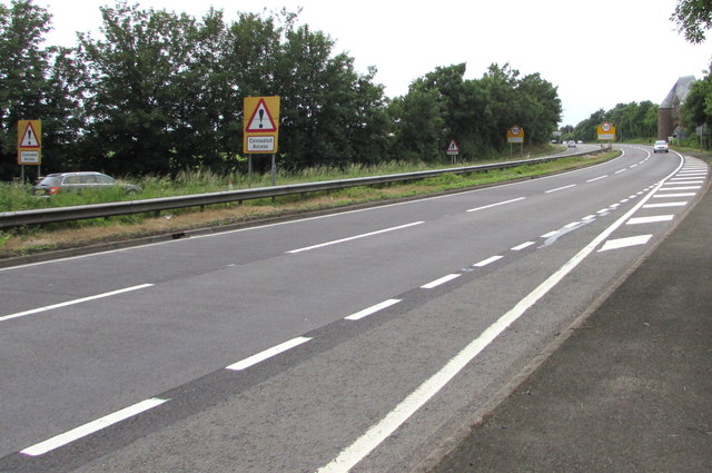
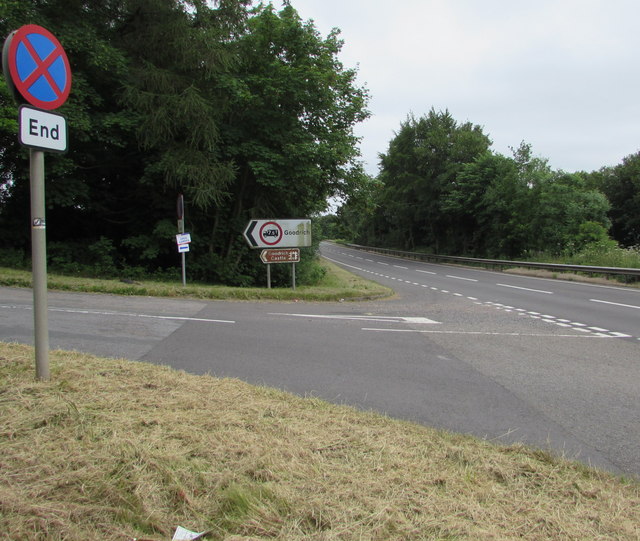
Brelston Green Images
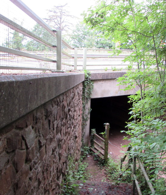
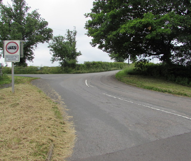
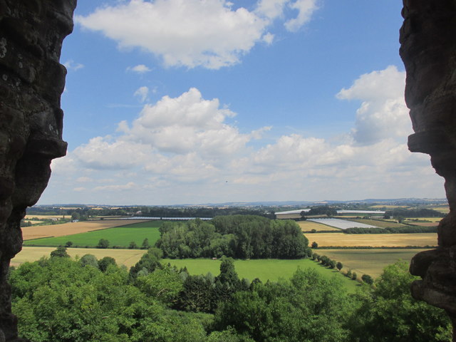
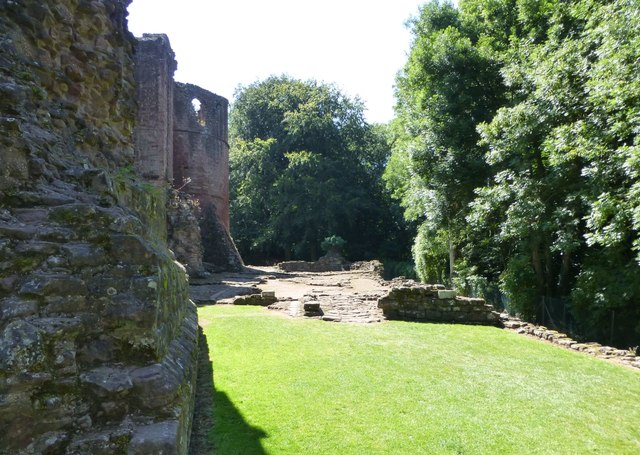
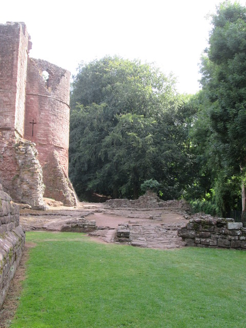
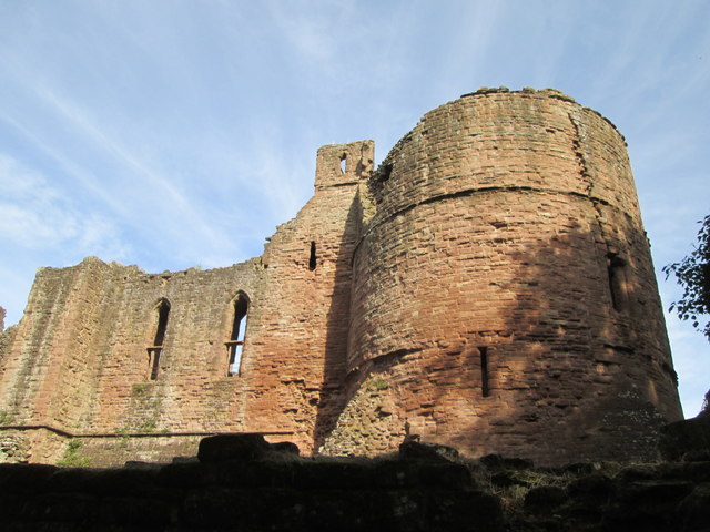
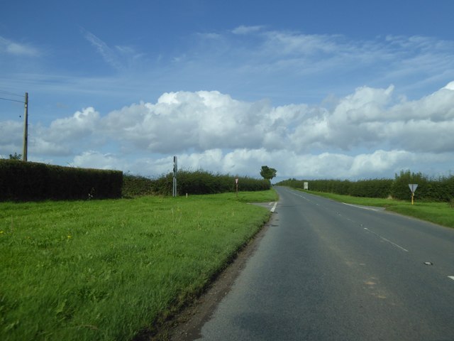
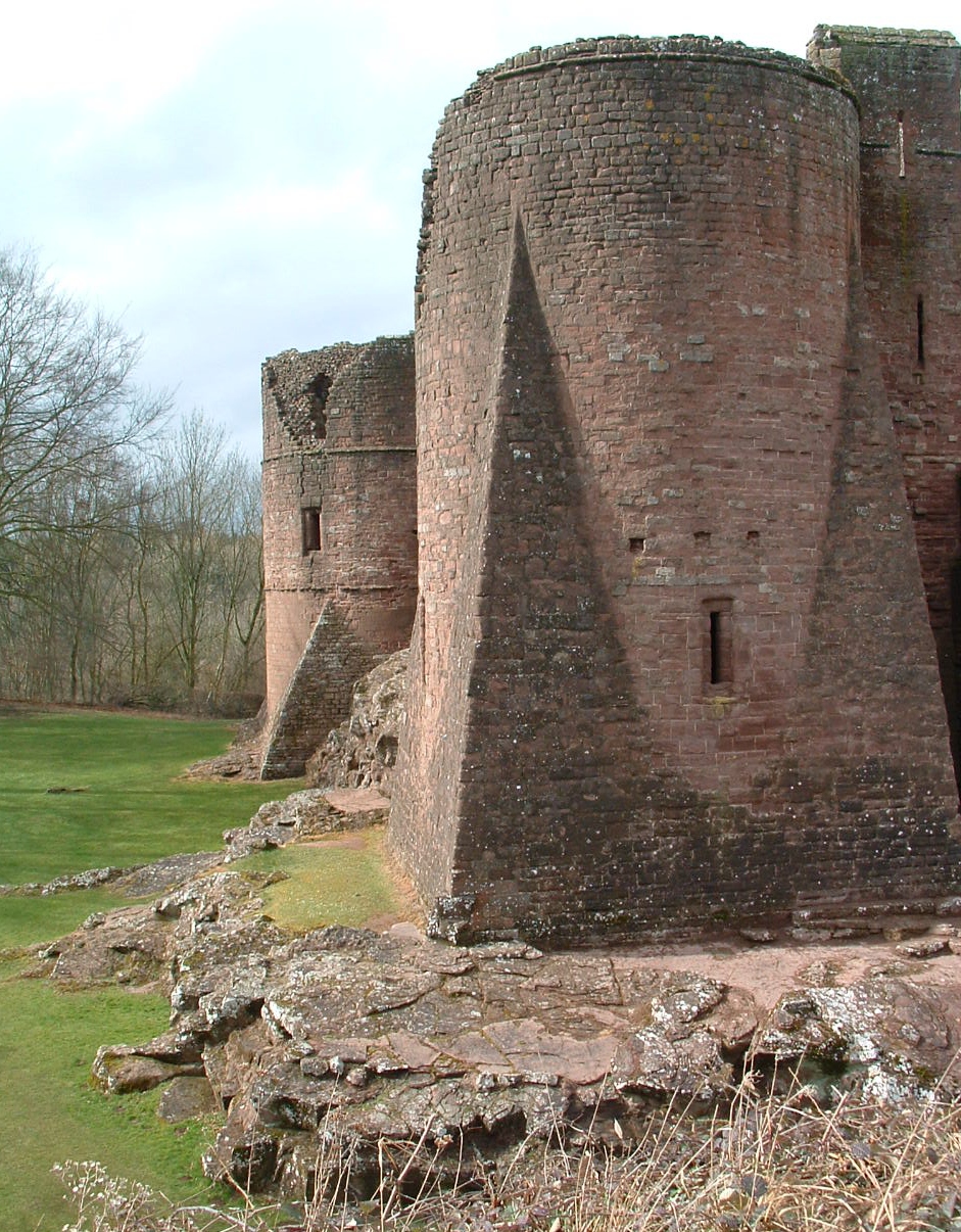
Images are sourced within 2km of 51.876821/-2.6405646 or Grid Reference SO5620. Thanks to Geograph Open Source API. All images are credited.

Brelston Green is located at Grid Ref: SO5620 (Lat: 51.876821, Lng: -2.6405646)
Unitary Authority: County of Herefordshire
Police Authority: West Mercia
What 3 Words
///chess.suppers.notion. Near Marstow, Herefordshire
Nearby Locations
Related Wikis

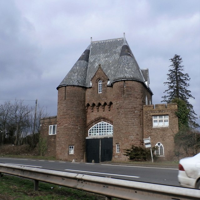
Goodrich Court
Goodrich Court, Goodrich, Herefordshire, England was a 19th-century, neo-gothic castle built by the antiquarian Sir Samuel Rush Meyrick in 1828. Designed...

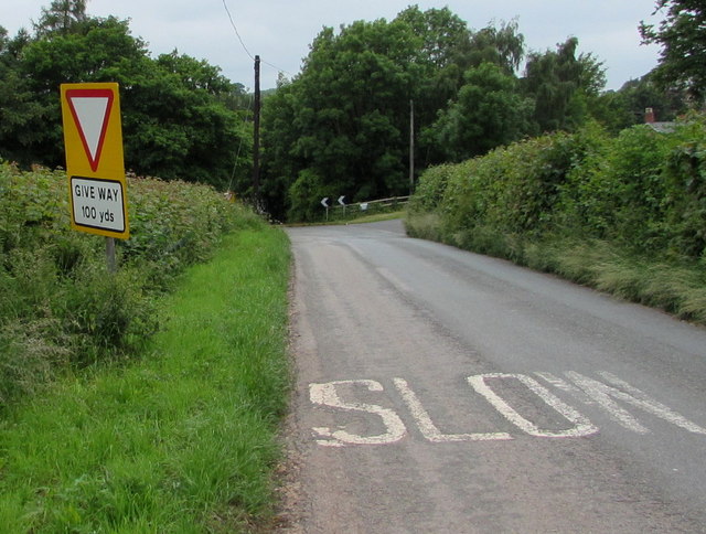
Marstow
Marstow is a hamlet and civil parish in south eastern Herefordshire, England. Most of the parish is within the Wye Valley Area of Outstanding Natural Beauty...
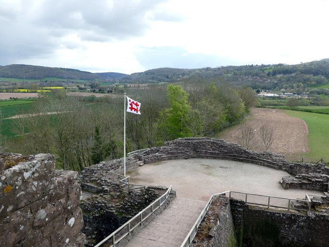
Goodrich, Herefordshire
Goodrich is a village in south Herefordshire, England close to Gloucestershire and the Forest of Dean, situated near the River Wye at grid reference SO574193...

Garren Brook
The Garren Brook is a small river in Herefordshire, England which rises beneath the eastern slopes of Garway Hill. It flows east to the hamlet of Orcop...
Nearby Amenities
Located within 500m of 51.876821,-2.6405646Have you been to Brelston Green?
Leave your review of Brelston Green below (or comments, questions and feedback).