Breiwick
Settlement in Shetland
Scotland
Breiwick
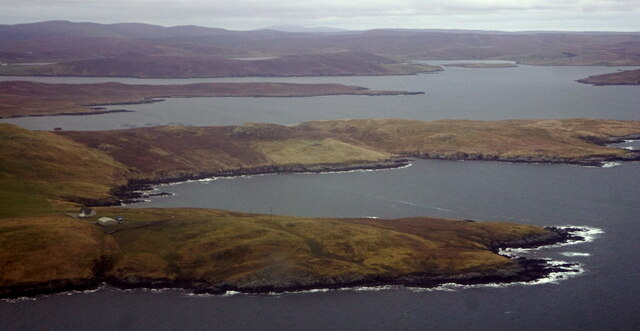
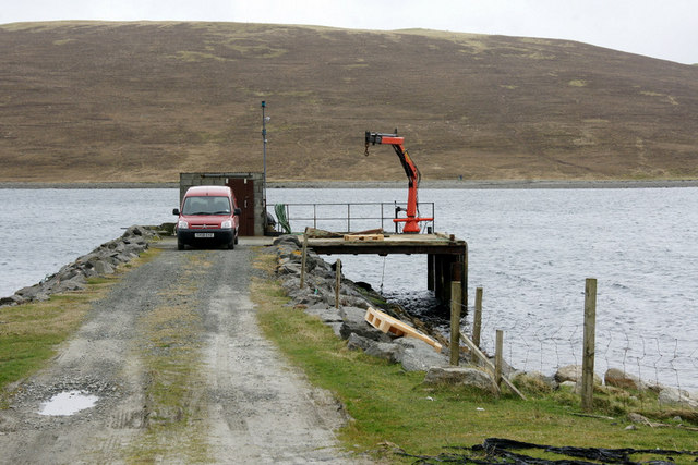
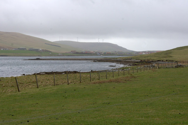
Breiwick is a small but significant area located in the Shetland Islands, an archipelago in Scotland. Situated in the northernmost part of the British Isles, Shetland is known for its stunning natural beauty and rich cultural heritage. Breiwick, specifically, is a historic port and harbor area that has played a crucial role in the island's maritime history.
The name "Breiwick" is derived from the Old Norse language, reflecting the region's Viking heritage. The area is home to several key landmarks, including the Lerwick Town Hall, which stands as a prominent symbol of the town's civic pride. The harbor at Breiwick has been a significant hub for fishing and trade for centuries, with a bustling fish market and numerous dockside amenities.
Breiwick is also known for its vibrant cultural scene, with various festivals and events taking place throughout the year. The annual Up Helly Aa festival, held in January, is a highlight, attracting visitors from far and wide to witness the spectacular torchlit procession and the burning of a Viking longship.
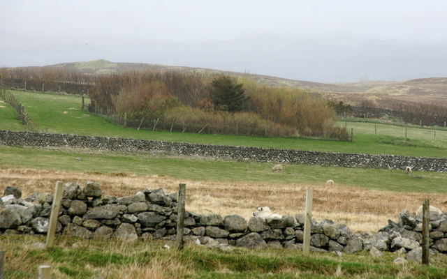
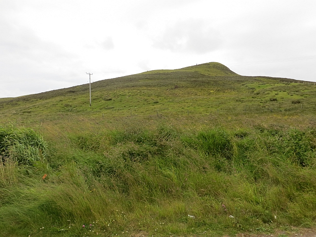
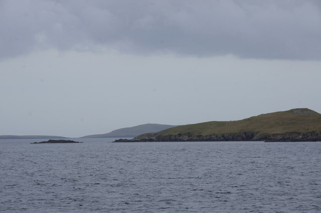
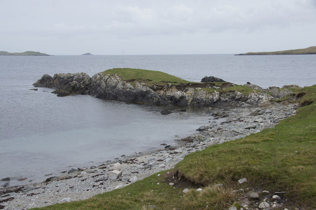
The area surrounding Breiwick offers breathtaking scenery, with rugged cliffs, picturesque beaches, and a diverse array of wildlife. Visitors can explore the rugged coastline, go birdwatching, or take part in various outdoor activities such as hiking and fishing.
In summary, Breiwick, Shetland, is a historically significant port area that offers a glimpse into the region's rich maritime past. With its stunning natural landscapes and vibrant cultural scene, it is a must-visit destination for those seeking an authentic Shetland experience.
If you have any feedback on the listing, please let us know in the comments section below.
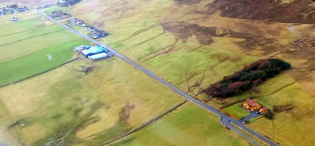
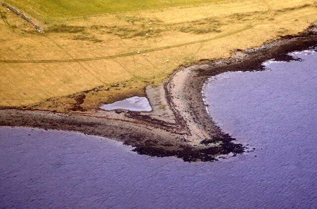
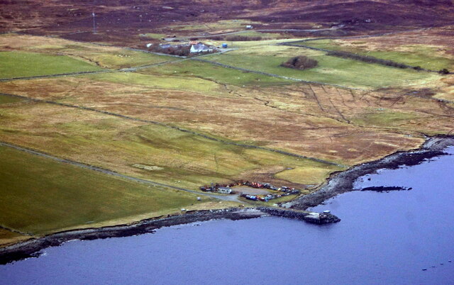
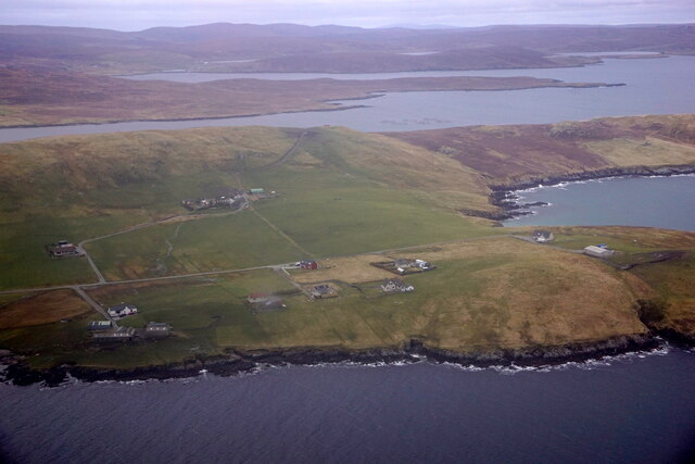
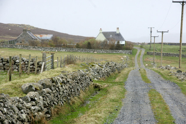
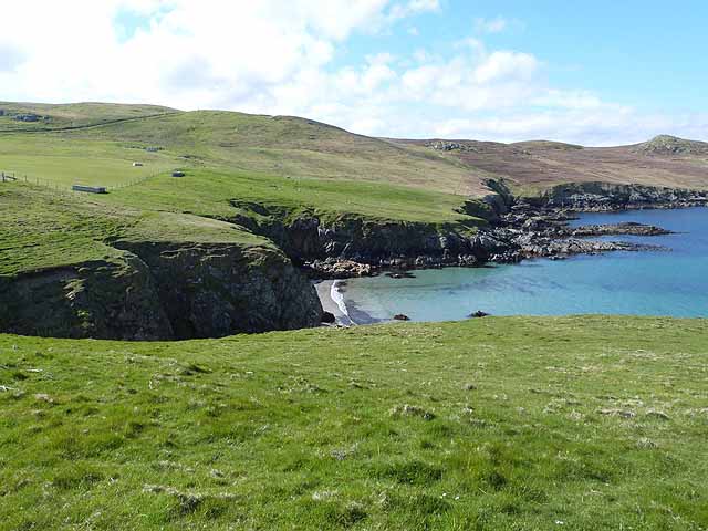
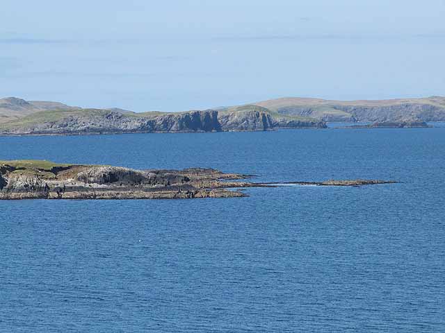
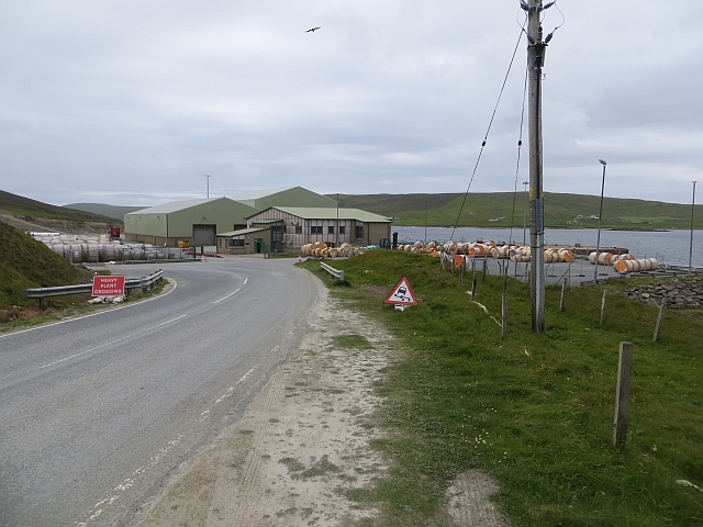
Breiwick Images
Images are sourced within 2km of 60.206747/-1.18358 or Grid Reference HU4547. Thanks to Geograph Open Source API. All images are credited.


Breiwick is located at Grid Ref: HU4547 (Lat: 60.206747, Lng: -1.18358)
Unitary Authority: Shetland Islands
Police Authority: Highlands and Islands
What 3 Words
///hatch.coffee.mend. Near Lerwick, Shetland Islands
Nearby Locations
Related Wikis

Breiwick
Breiwick is a village on the island of Mainland in Shetland, Scotland. Breiwick is in the parish of Tingwall, and is 1.6 mi (2.5 km) north-east of Gott...

South Isle of Gletness
The South Isle of Gletness is an islet off Gletness, in Nesting in east central, Mainland, Shetland. It is 30m at its highest point. Amongst its features...

Veensgarth
Veensgarth (Old Norse: Vikingsgarðr, Viking farm, or Vingarðr, Meadow Farm), is a village in the Tingwall valley west of Lerwick on Mainland in Shetland...

Tingwall Airport
Tingwall Airport (IATA: LWK, ICAO: EGET), also known as Lerwick/Tingwall Airport, is located in the Tingwall valley, near the village of Gott, 4 NM (7...
Nearby Amenities
Located within 500m of 60.206747,-1.18358Have you been to Breiwick?
Leave your review of Breiwick below (or comments, questions and feedback).