Breeds

Settlement in Essex Chelmsford

England

Breeds

Barrack Lane at the junction of Bury Lane
Barrack Lane at the junction of Bury Lane Credit: David Howard

Breeds is a small village located in the county of Essex, in the eastern part of England. Situated about 8 miles to the northwest of the town of Chelmsford, Breeds is a rural community surrounded by picturesque countryside and farmland. It falls within the administrative district of Chelmsford and is part of the civil parish of Writtle.

The village of Breeds is relatively small, with a population of around 500 residents. It is characterized by its charming, traditional English village atmosphere, with a mix of old cottages and more modern houses. The village is known for its tight-knit community, friendly locals, and strong sense of community spirit.

Breeds is well-connected to neighboring towns and cities, with good transport links. The A414 road passes through the village, providing easy access to Chelmsford, as well as other nearby towns such as Harlow and Hatfield. The village also benefits from a regular bus service, connecting it to the wider region.

Despite its small size, Breeds offers some amenities and facilities for its residents. These include a village hall, a local pub, and several small shops catering to everyday needs. Additionally, the village is surrounded by beautiful countryside, providing ample opportunities for outdoor activities such as walking, cycling, and exploring nature.

Overall, Breeds is a peaceful and idyllic village in Essex, offering a rural lifestyle with close proximity to larger towns and cities. Its strong community spirit and beautiful surroundings make it an attractive place to live for those seeking a quiet, countryside retreat.

If you have any feedback on the listing, please let us know in the comments section below.
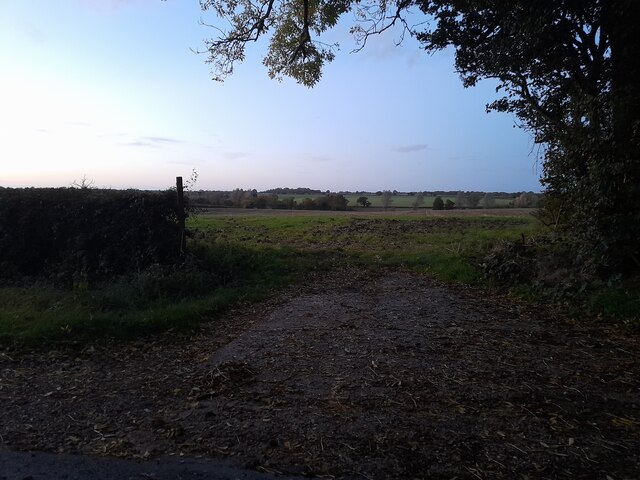
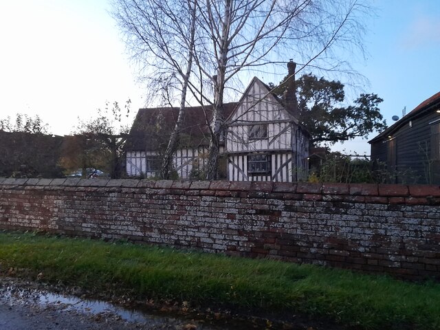
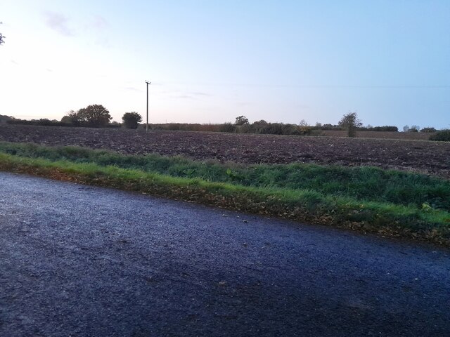
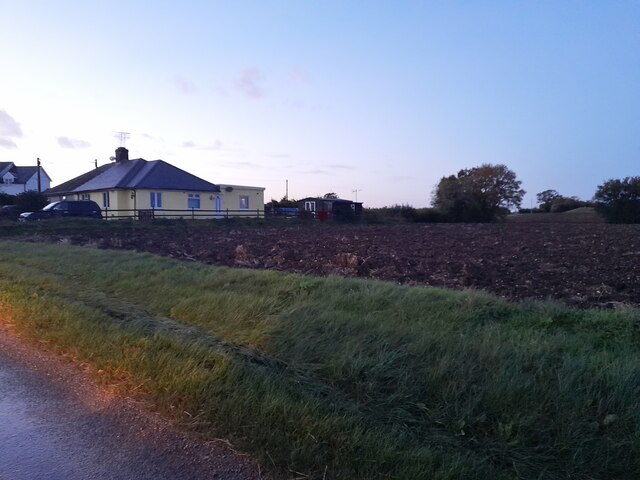
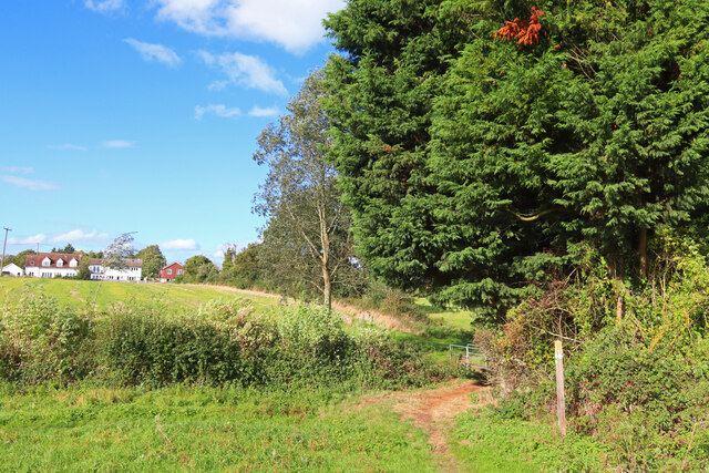
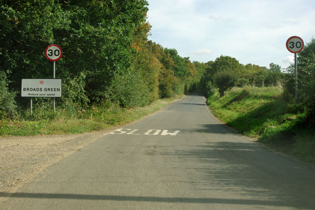
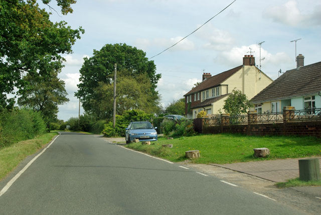
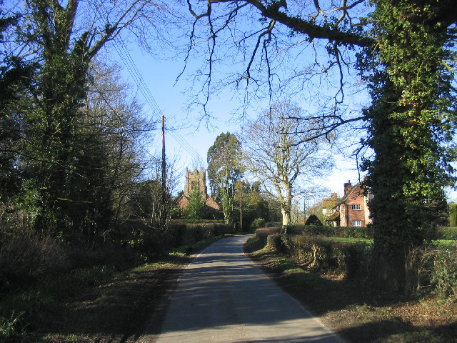
Breeds Images

Images are sourced within 2km of 51.781445/0.43403169 or Grid Reference TL6812. Thanks to Geograph Open Source API. All images are credited.

Barrack Lane at the junction of Bury Lane
Fields by Mashbury Road, Great Waltham
Bards Hall Farm near Pleshey The white barn arrived since 2010
Bards Hall Farm near Pleshey
The white barn arrived since 2010
Tudor farmhouse on Mashbury Road, Great Waltham This is Barnett's Farm
Tudor farmhouse on Mashbury Road, Great Waltham
This is Barnett's Farm
Fields by Mashbury Road near Pleshey
Houses and field by Mashbury Road near Pleshey
Fields by Mashbury Road near Pleshey
Great Waltham View towards Great Waltham from near Salt House Farm.
Great Waltham
View towards Great Waltham from near Salt House Farm.
The Pig and Whistle, Chignall Smeally
Essex Way above Walthambury Brook One of the first county long distance footpath devised, tracing its history back to 1971.
It was also the first to make an appearance within the county borders of Essex.
The 81 mile trail starts outside the underground station in Epping, passing through Chipping Ongar, Pleshey, White Notley, Coggeshall, Great Horkesley, Dedham and Manningtree to the High Lighthouse in Harwich.  It runs through the entire county in a rough south west to north east line.
Essex Way above Walthambury Brook
One of the first county long distance footpath devised, tracing its history back to 1971. It was also the first to make an appearance within the county borders of Essex. The 81 mile trail starts outside the underground station in Epping, passing through Chipping Ongar, Pleshey, White Notley, Coggeshall, Great Horkesley, Dedham and Manningtree to the High Lighthouse in Harwich. It runs through the entire county in a rough south west to north east line.
Walkers skirt the old gravel pit, 1982 On the way from Great Waltham and back via the White Horse at Pleshey. The tower crane on the horizon towards the right was a help in locating this shot, as it could only have been engaged on extensions to Broomfield Hospital.
Walkers skirt the old gravel pit, 1982
On the way from Great Waltham and back via the White Horse at Pleshey. The tower crane on the horizon towards the right was a help in locating this shot, as it could only have been engaged on extensions to Broomfield Hospital.
Woodhall Hill, Chignall Smealy The outskirts of Chignall Smealy, a diffuse settlement whose 'centre' is little different to this part, in terms of population density.
Woodhall Hill, Chignall Smealy
The outskirts of Chignall Smealy, a diffuse settlement whose 'centre' is little different to this part, in terms of population density.
Tree by the open road Breeds Road has a spot height of 61 m recorded on OS maps between the camera and the tree. This modest height still commands a long view thanks to the local absence of hedges.
Tree by the open road
Breeds Road has a spot height of 61 m recorded on OS maps between the camera and the tree. This modest height still commands a long view thanks to the local absence of hedges.
Entering Broads Green So far little to be seen of this settlement in Great Waltham parish.
Entering Broads Green
So far little to be seen of this settlement in Great Waltham parish.
The Walnut Tree, Broads Green Still showing 'Ridleys the Essex Brewer' although Ridleys were taken over by Greene King and their Hartford End brewery closed down some time ago. Greene King may possibly still use the name, but the 'Essex' part is no longer true.
The Walnut Tree, Broads Green
Still showing 'Ridleys the Essex Brewer' although Ridleys were taken over by Greene King and their Hartford End brewery closed down some time ago. Greene King may possibly still use the name, but the 'Essex' part is no longer true.
Road past Boundary Cottages The boundary was probably that between Chignall St James and Chignall Smealy, although they are now united in one civil parish.
Road past Boundary Cottages
The boundary was probably that between Chignall St James and Chignall Smealy, although they are now united in one civil parish.
Houses on Bury Road, Great Waltham Looking to display council house characteristics.
Houses on Bury Road, Great Waltham
Looking to display council house characteristics.
St Nicholas, Chignal Smealey
Show me another place!

Breeds is located at Grid Ref: TL6812 (Lat: 51.781445, Lng: 0.43403169)

Administrative County: Essex

District: Chelmsford

Police Authority: Essex

What 3 Words

///ramming.pacemaker.slide. Near Chelmsford, Essex

Nearby Locations

Fanner's Green Breeds

Related Wikis

Fanner's Green

Fanner's Green is a hamlet and cul-de-sac road in the Great Waltham civil parish of the Chelmsford district of Essex, England. It is situated 1 mile (1...

Chignall Smealy

Chignal Smealy is a small village and former civil parish, now in the parish of Chignall, on the north-western outskirts of Chelmsford, in the Chelmsford...

Broad's Green

Broads Green is a hamlet in the civil parish of Great Waltham and the Chelmsford district, of Essex, England. Nearby settlements include the town of Chelmsford...

Breeds, Essex

Breeds is a hamlet in the Great Waltham civil parish of the Chelmsford district of Essex, England. It is situated on South Street of the village of Great...

Nearby Amenities

Located within 500m of 51.781445,0.43403169
Fanner's Green
Place: hamlet
Source: npe
Wikidata: Q5433916
Lat/Long: 51.7828288/0.4357956
Post Box
Lat/Long: 51.7827829/0.4368355
The data included in this document is from www.openstreetmap.org. The data is made available under ODbL.

Have you been to Breeds?

Leave your review of Breeds below (or comments, questions and feedback).