Yawl
Settlement in Devon East Devon
England
Yawl
Yawl is a small village located in the county of Devon, in the southwest of England. It is situated about 5 miles southwest of the market town of Totnes. Yawl is nestled in the picturesque South Hams area, renowned for its stunning natural beauty and charming rural landscapes.
The village itself is relatively small, with a population of around 200 residents. It is characterized by its quaint cottages and traditional stone houses, which give it a distinctive and idyllic atmosphere. The village is surrounded by rolling hills and meadows, with the River Dart flowing nearby, offering scenic views and opportunities for outdoor activities such as fishing and boating.
Yawl is well-known for its strong sense of community and its friendly and welcoming residents. The village has a local pub, The Anchor Inn, which serves as a popular gathering spot for both locals and visitors. It offers a range of traditional pub food and a selection of local ales.
The village is also a great starting point for exploring the wider Devonshire countryside. Nearby attractions include Dartmoor National Park, known for its rugged landscapes and ancient archaeological sites, as well as the charming coastal towns of Dartmouth and Salcombe.
Overall, Yawl is a charming and peaceful village, offering a tranquil escape from the hustle and bustle of city life. Its natural beauty and friendly community make it a hidden gem in the heart of Devon.
If you have any feedback on the listing, please let us know in the comments section below.
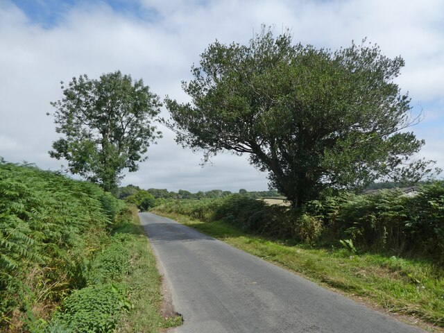
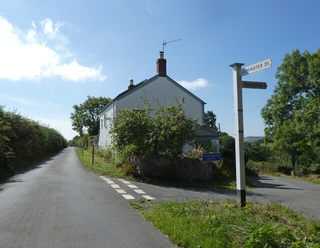
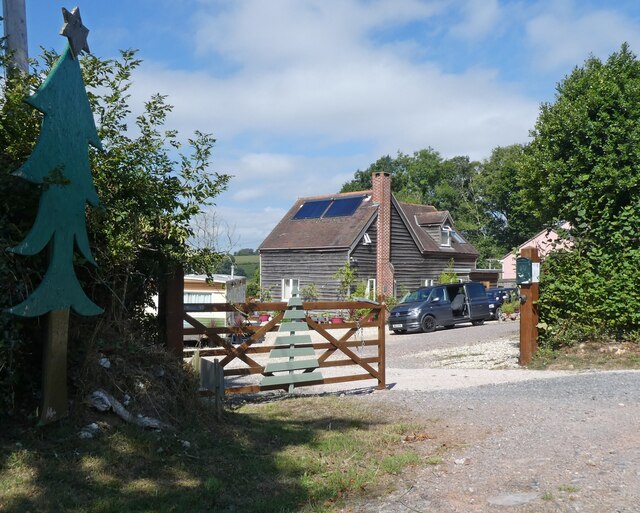
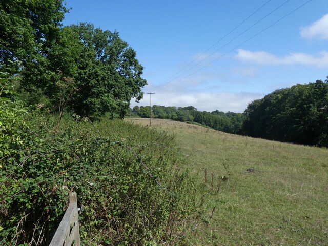
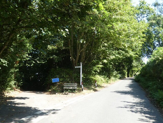
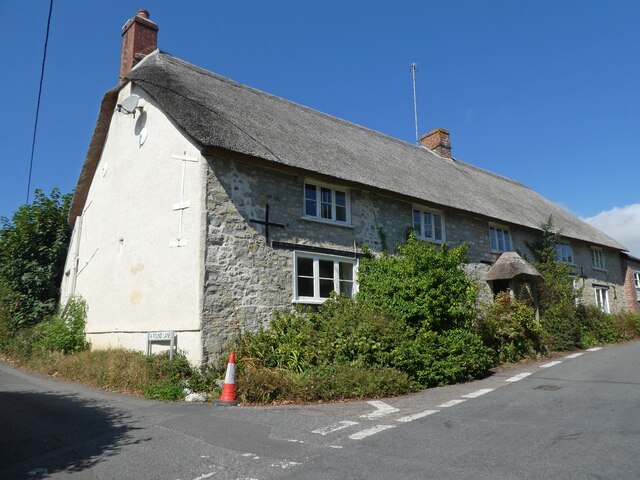
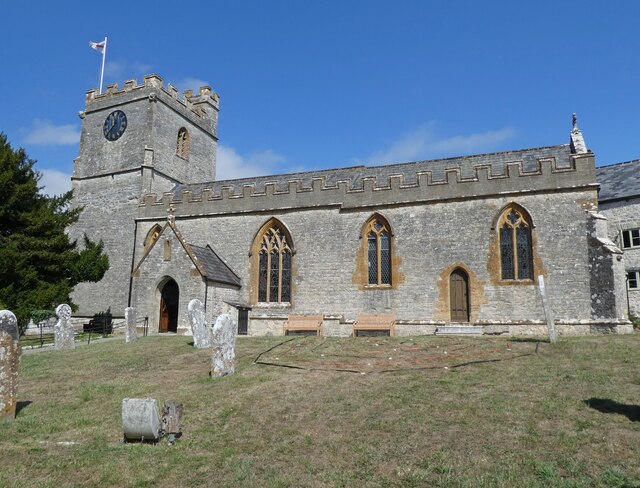
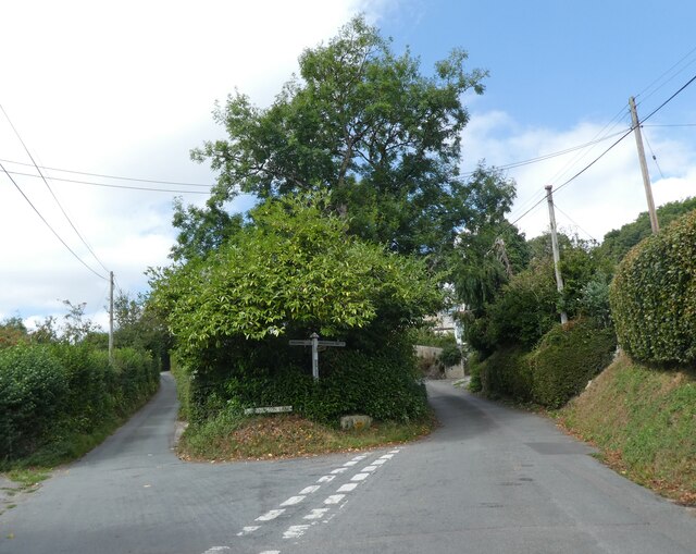
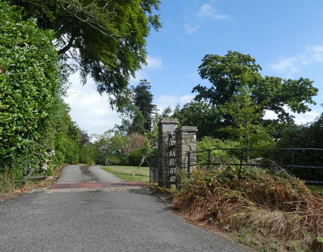
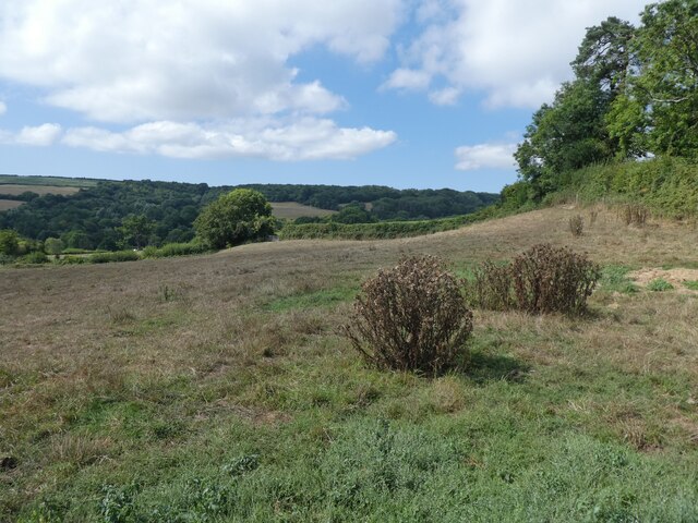
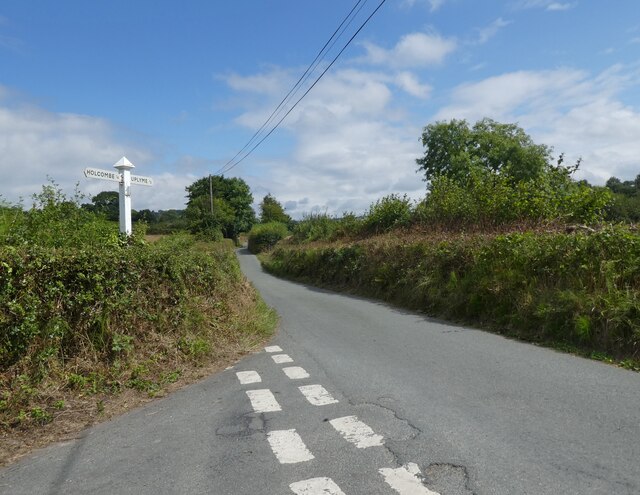
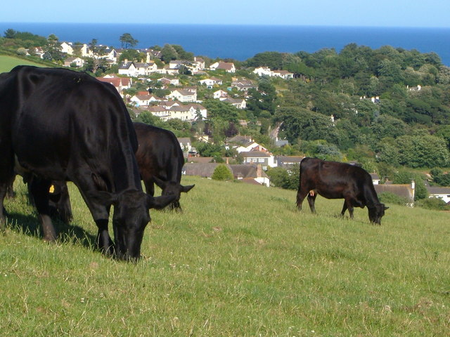
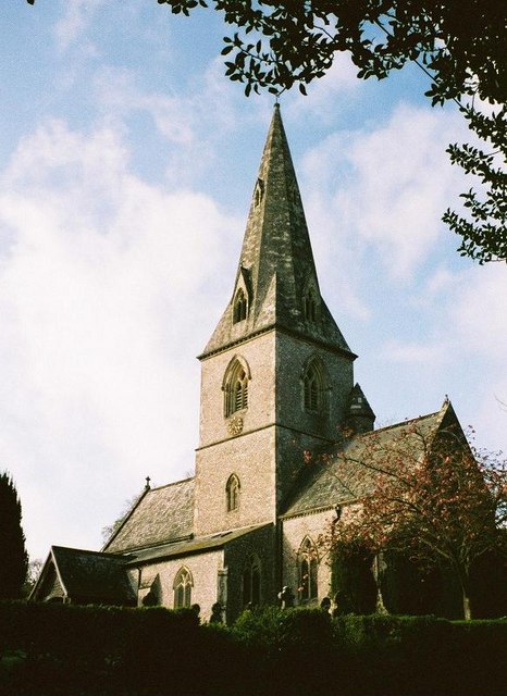
Yawl Images
Images are sourced within 2km of 50.746652/-2.9664206 or Grid Reference SY3194. Thanks to Geograph Open Source API. All images are credited.


Yawl is located at Grid Ref: SY3194 (Lat: 50.746652, Lng: -2.9664206)
Administrative County: Devon
District: East Devon
Police Authority: Devon and Cornwall
What 3 Words
///ethic.describe.mincing. Near Lyme Regis, Dorset
Nearby Locations
Related Wikis
Holcombe, East Devon
Holcombe is a hamlet in the district of East Devon in the English county of Devon. Holcombe is located northwest of the town of Lyme Regis about a mile...

Raymond's Hill
Raymond's Hill is a village and residential area off the A35 road in Devon, England, right on the border with the county of Dorset. It is about 2 miles...

Uplyme
Uplyme is an English village and civil parish in East Devon on the Devon-Dorset border and the River Lym, adjacent to the Dorset coastal town of Lyme Regis...
Furzehill Plantation
Furzehill Plantation is a woodland in Devon, England, near the village of Uplyme. It covers a total area of 1.22 hectares (3.01 acres). It is owned and...
The Woodroffe School
The Woodroffe School is a comprehensive school in Lyme Regis, Dorset, England. == Lyme Regis Grammar School == From 1923-1971 the school was known as Lyme...
Lyme Regis railway station
Lyme Regis railway station was the terminus of the Lyme Regis branch line in the west of the English county of Dorset. Serving the coastal resort town...
St Andrew's Church, Monkton Wyld
St Andrew's Church is a Church of England church in Monkton Wyld, Dorset, England. It was built in 1848–49 to the designs of Richard Cromwell Carpenter...
Abbey Gate, Devon
Abbey Gate is a hamlet just south of Axminster in Devon, England. Abbey Gate is at the junction between the A35 and A358 main roads, just west of Wyke...
Nearby Amenities
Located within 500m of 50.746652,-2.9664206Have you been to Yawl?
Leave your review of Yawl below (or comments, questions and feedback).