Yaverland
Settlement in Hampshire
England
Yaverland

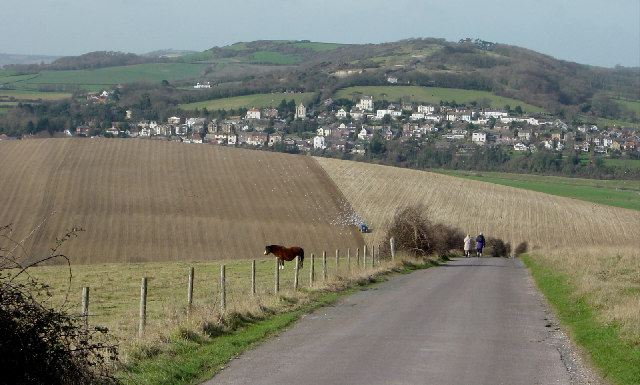
Yaverland is a small coastal village located on the eastern coast of the Isle of Wight, in the county of Hampshire, England. Situated between the towns of Sandown and Bembridge, Yaverland offers picturesque views of the English Channel and is renowned for its beautiful sandy beach.
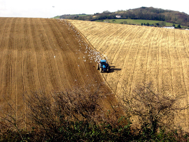
The village is primarily residential, with a mix of traditional cottages and modern houses. It attracts a significant number of tourists during the summer months, who come to enjoy the stunning coastline, which stretches for approximately half a mile. The beach is popular among families and sun-seekers, offering safe swimming conditions and ample space for picnics and beach games.
Yaverland is also known for its historical significance. The area is home to the Yaverland Battery, a World War II coastal defense site, which now serves as a museum and heritage center. Visitors can explore the underground tunnels and gun emplacements, gaining insight into the island's military history.
Nature enthusiasts are drawn to Yaverland for its diverse wildlife and natural beauty. The nearby Yaverland Marshes, a designated Site of Special Scientific Interest, provide a habitat for various bird species, including Brent geese and wading birds.
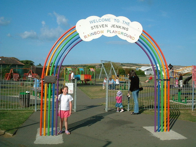
For amenities, Yaverland offers a range of facilities including a beachside café, a popular pub, and a campsite for visitors wishing to extend their stay. The village is well-connected by public transport, with regular bus services to nearby towns and attractions.
Overall, Yaverland is a charming coastal village offering a blend of natural beauty, historical interest, and recreational activities, making it an appealing destination for both locals and tourists alike.
If you have any feedback on the listing, please let us know in the comments section below.
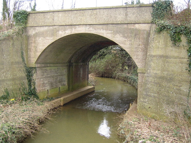
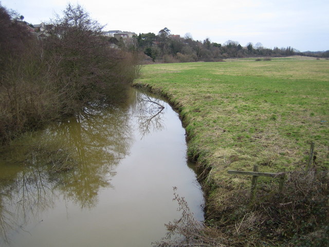
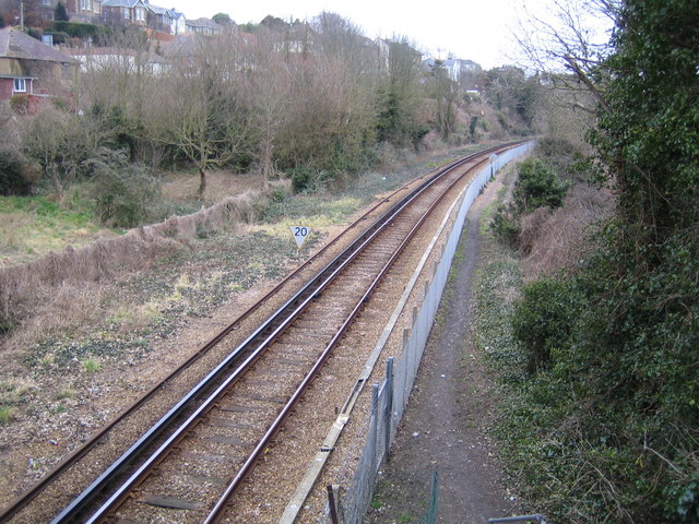
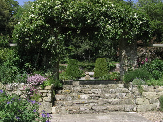
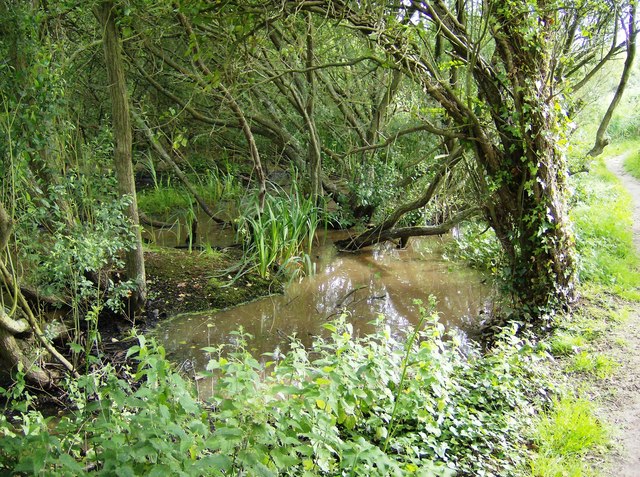
Yaverland Images
Images are sourced within 2km of 50.663027/-1.1349564 or Grid Reference SZ6185. Thanks to Geograph Open Source API. All images are credited.


Yaverland is located at Grid Ref: SZ6185 (Lat: 50.663027, Lng: -1.1349564)
Unitary Authority: Isle of Wight
Police Authority: Hampshire
What 3 Words
///stirs.jacket.envoy. Near Brading, Isle of Wight
Related Wikis

Yaverland
Yaverland is a village and former civil parish, now in the parish of Sandown, on the Isle of Wight, England. It is just north of Sandown on Sandown Bay...
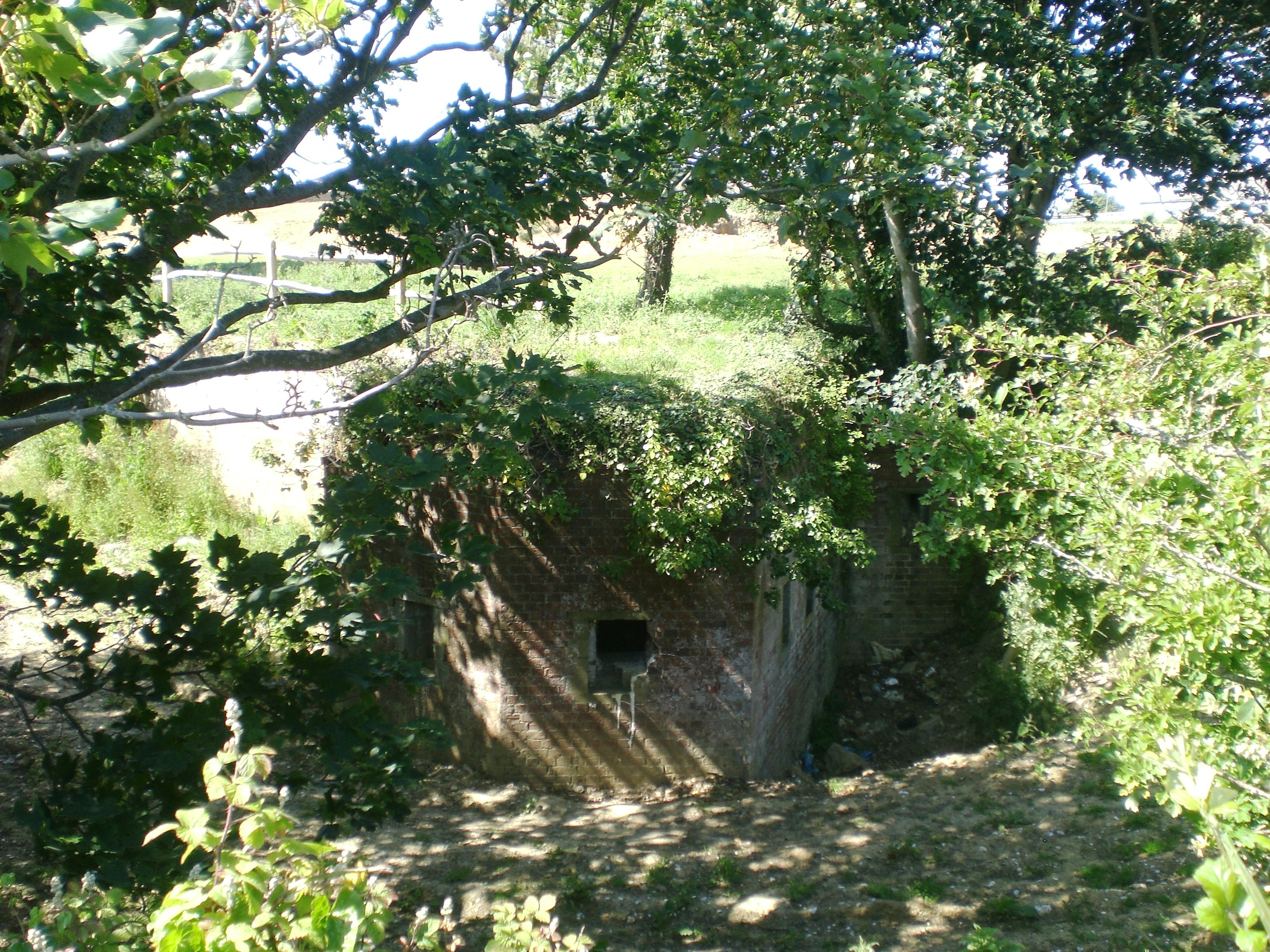
Yaverland Battery
Yaverland Battery is a battery on the Isle of Wight, United Kingdom. It was constructed between 1861 and 1864. It originally mounted eight 7-inch Armstrong...

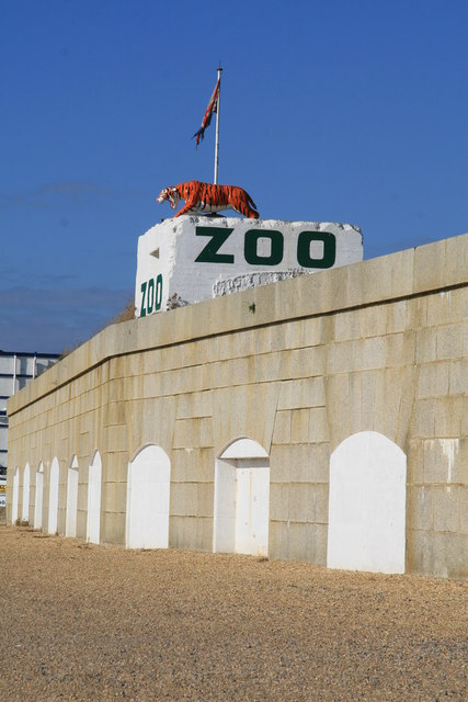
Wildheart Animal Sanctuary
The Wildheart Animal Sanctuary, previously known as the Isle of Wight Zoo and Sandown Zoo, is a wildlife sanctuary on the coastline of Sandown, Isle of...
Sandown Fort
Sandown Fort (map reference SZ597839) is a fort built in Sandown on the Isle of Wight in the middle of Sandown Bay. It is one of the many Palmerston Forts...
Nearby Amenities
Located within 500m of 50.663027,-1.1349564Have you been to Yaverland?
Leave your review of Yaverland below (or comments, questions and feedback).