Alconbury

Settlement in Huntingdonshire Huntingdonshire

England

Alconbury

Apartment block, Alconbury Weald
Apartment block, Alconbury Weald Credit: Jonathan Thacker

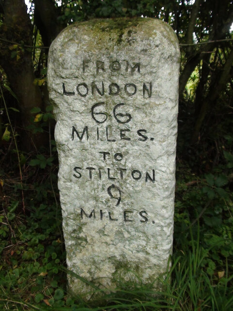
Alconbury is a village located in the district of Huntingdonshire in Cambridgeshire, England. Situated about 7 miles northwest of the town of Huntingdon, Alconbury is a small, rural community with a population of around 1,200 residents.

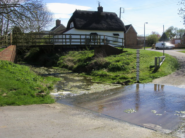
The village is known for its historic buildings, including the Grade I listed All Saints Church, which dates back to the 13th century. Alconbury also has a number of amenities for its residents, such as a primary school, village hall, and several local shops and pubs.

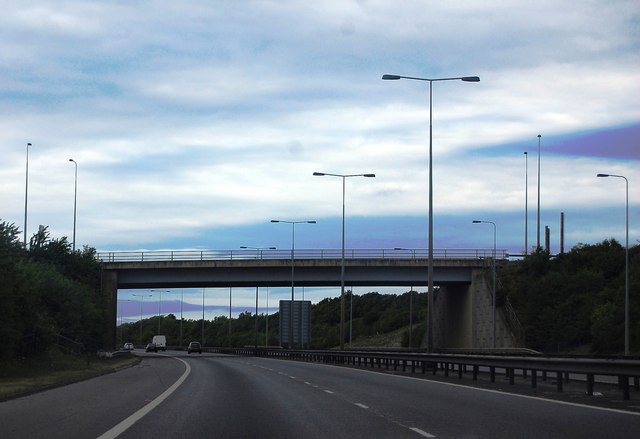
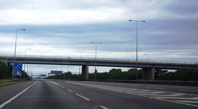
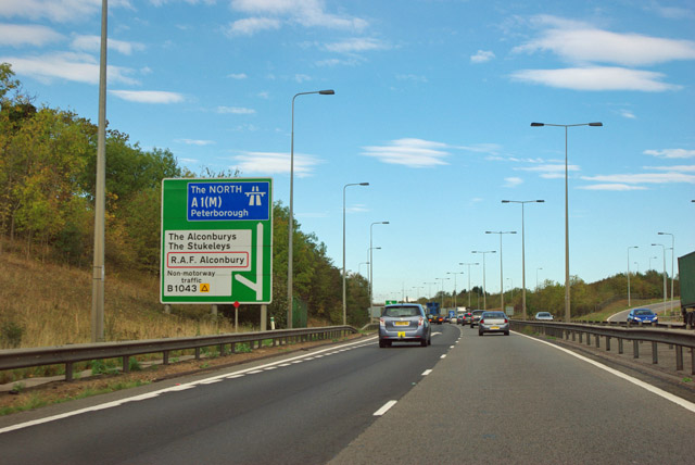
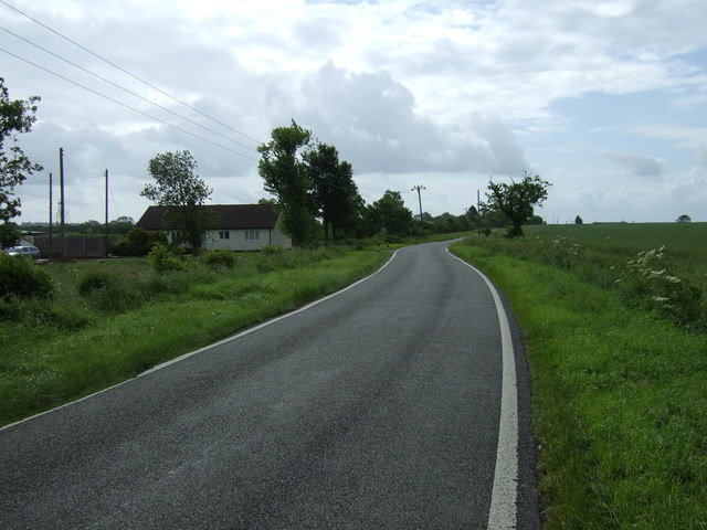
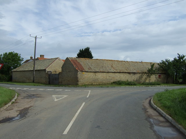
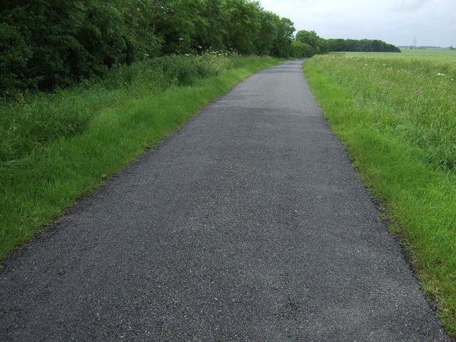
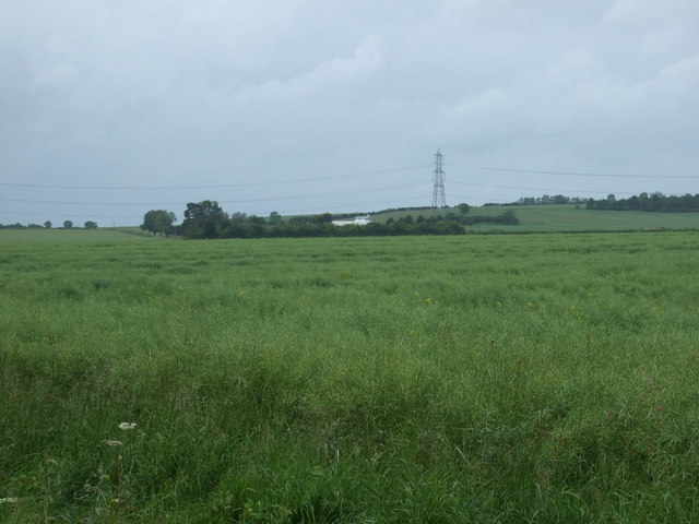
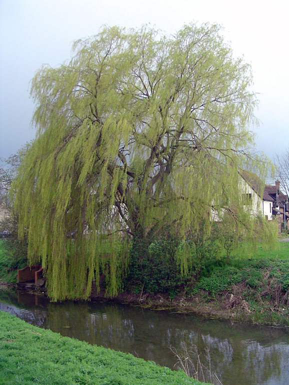
Surrounded by picturesque countryside, Alconbury offers opportunities for outdoor activities such as walking, cycling, and horseback riding. The village is also conveniently located near major roadways, making it easily accessible for commuters and visitors.

Overall, Alconbury is a charming and peaceful village with a strong sense of community and a rich history that is evident in its architecture and landmarks.

If you have any feedback on the listing, please let us know in the comments section below.
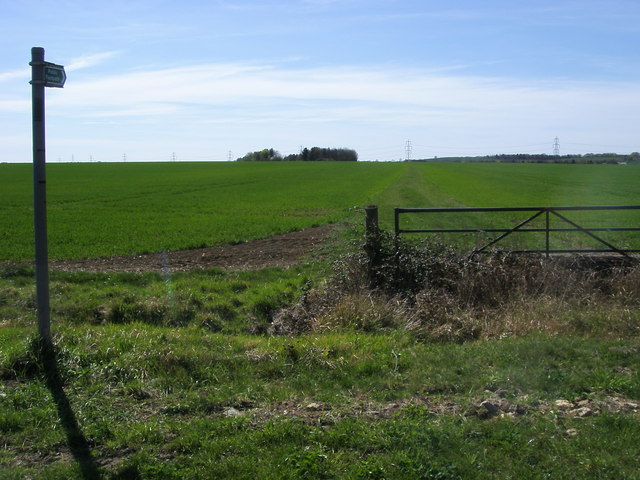
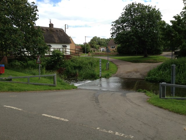
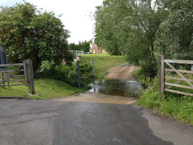
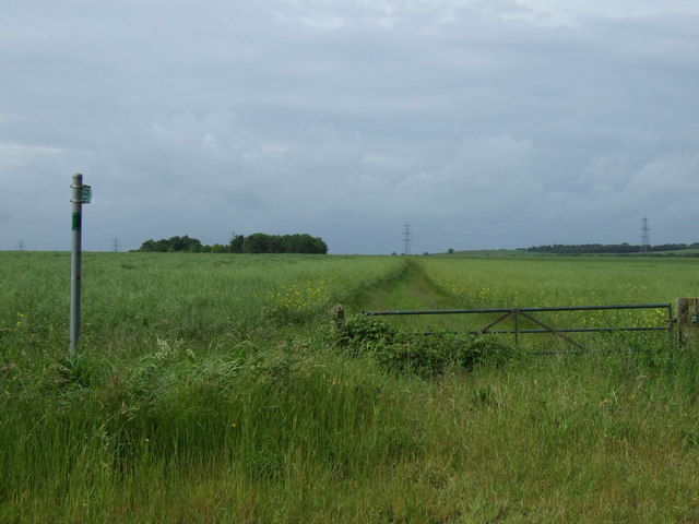
Alconbury Images

Images are sourced within 2km of 52.36879/-0.260089 or Grid Reference TL1875. Thanks to Geograph Open Source API. All images are credited.

Apartment block, Alconbury Weald
Old Milestone, Ermine Street On the Great North Road (ex A1). On the NE side of the road.

Inscription: from / London / 66 / Miles / to / Stilton / 9 / Miles

Milestone Society National ID:  HU_LY66
Old Milestone, Ermine Street
On the Great North Road (ex A1). On the NE side of the road. Inscription: from / London / 66 / Miles / to / Stilton / 9 / Miles Milestone Society National ID: HU_LY66
Bridge at Alconbury, A14
Joining the A1(M) The junction of the A1(M) and A14.
Joining the A1(M)
The junction of the A1(M) and A14.
A14 exit  to B1043 Contrary to usual practice for motorways and trunk roads, this junction is apparently not numbered.
A14 exit to B1043
Contrary to usual practice for motorways and trunk roads, this junction is apparently not numbered.
B1043 bridge over A14(M) There is only about a mile of A14(M) before it joins the A1(M).
B1043 bridge over A14(M)
There is only about a mile of A14(M) before it joins the A1(M).
The A14(M) joins the A1(M) North of the junction the A1(M) has eight lanes for some distance.
The A14(M) joins the A1(M)
North of the junction the A1(M) has eight lanes for some distance.
Alconbury Brook The ford on Alconbury Brook at Alconbury Weston
Alconbury Brook
The ford on Alconbury Brook at Alconbury Weston
Footpath to Park Farm Footpath to Park Farm off the Buckworth Road
Footpath to Park Farm
Footpath to Park Farm off the Buckworth Road
Ford at Alconbury Weston This gated ford is found in Alconbury Weston. The ford on the Alconbury Brook provides access between High Street and Hamerton Road.
Ford at Alconbury Weston
This gated ford is found in Alconbury Weston. The ford on the Alconbury Brook provides access between High Street and Hamerton Road.
Alconbury Ford This gated ford is found in Alconbury.
Alconbury Ford
This gated ford is found in Alconbury.
Footpath near Corner Farm
Road towards Alconbury
Corner Farm
Corner Farm
Buckworth Road towards Alconbury
Hedgerow and field
Hedgerow and field
Lane towards Woolley
Farmland near Alconbury Weston
Show me another place!

Alconbury is located at Grid Ref: TL1875 (Lat: 52.36879, Lng: -0.260089)

Administrative County: Cambridgeshire

District: Huntingdonshire

Police Authority: Cambridgeshire

What 3 Words

///sprawls.business.broadcast. Near Alconbury, Cambridgeshire

Nearby Locations

Alconbury

Related Wikis

Alconbury

Alconbury is a village and civil parish in Cambridgeshire, England. Alconbury is situated within Huntingdonshire which is a non-metropolitan district of...

Alconbury Weston

Alconbury Weston – in Huntingdonshire (now part of Cambridgeshire), England – is a village and civil parish, lying just outside of the Fens, having just...

Alconbury Weald

Alconbury Weald is a new settlement in Cambridgeshire, England, lying to the north-west of the town of Huntingdon. The site was previously part of RAF...

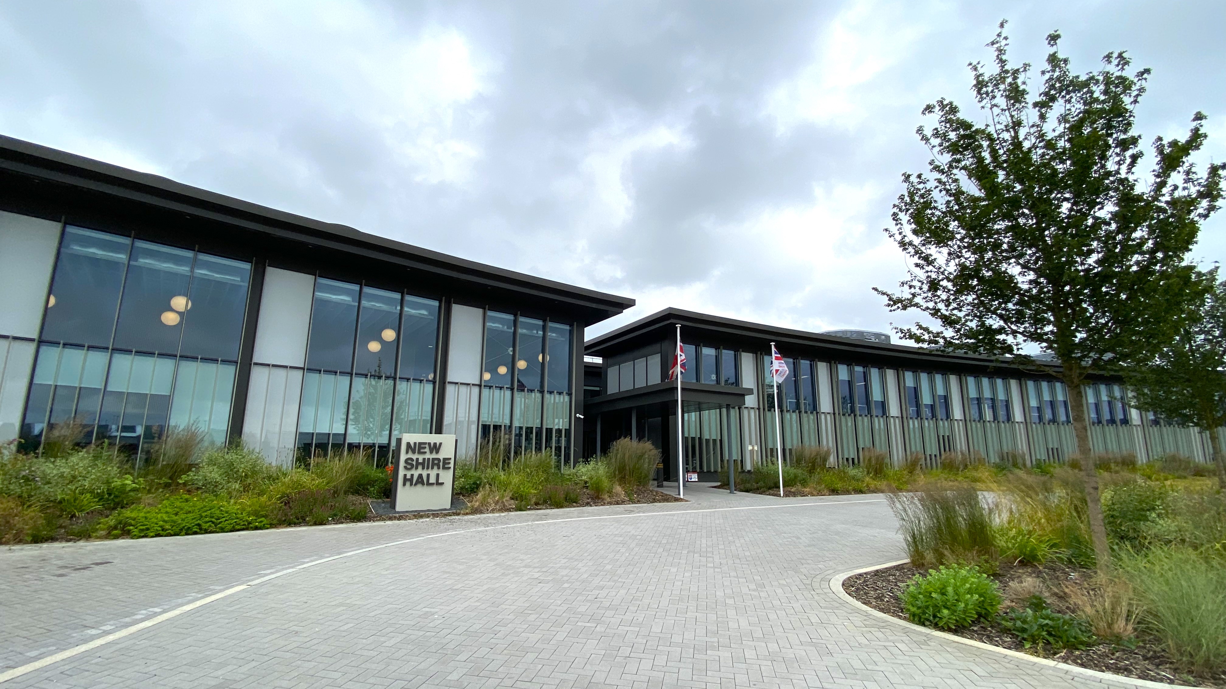
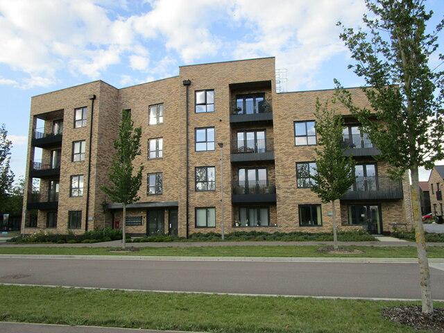
New Shire Hall, Alconbury Weald

New Shire Hall is a municipal building on Emery Crescent, Alconbury Weald, Cambridgeshire, England, built in 2019–2020. It is the headquarters of Cambridgeshire...

Nearby Amenities

Located within 500m of 52.36879,-0.260089
Alconbury
Place: village
Lat/Long: 52.3678041/-0.2605066
Post Box
Postal Code: PE28
Ref: PE28 149
Source: survey
Lat/Long: 52.368718/-0.2598637
Post Office
Alconbury Post Office
Addr Country: GB
Addr Postcode: PE28 4DU
Brand: Post Office
Brand Wikidata: Q1783168
Contact Website: https://www.postoffice.co.uk/branch-finder/2732300/alconbury
Ref Pol Id: 10896
Lat/Long: 52.3686982/-0.2597317
Created By: Merkaartor 0.12
Lat/Long: 52.3655176/-0.2635931
Created By: Merkaartor 0.12
Lat/Long: 52.365747/-0.263229
Created By: Merkaartor 0.12
Lat/Long: 52.3658294/-0.2631176
Created By: Merkaartor 0.12
Lat/Long: 52.365983/-0.26291
Created By: Merkaartor 0.12
Lat/Long: 52.366327/-0.2623521
Created By: Merkaartor 0.12
Lat/Long: 52.3655019/-0.2624501
Created By: Merkaartor 0.12
Lat/Long: 52.3654197/-0.2622824
Created By: Merkaartor 0.12
Lat/Long: 52.3654549/-0.26224
Created By: Merkaartor 0.12
Lat/Long: 52.3653539/-0.26234
Created By: Merkaartor 0.12
Lat/Long: 52.365442/-0.2613549
Created By: Merkaartor 0.12
Lat/Long: 52.36519/-0.2641309
Created By: Merkaartor 0.12
Lat/Long: 52.3675946/-0.2595519
Created By: Merkaartor 0.12
Lat/Long: 52.3672654/-0.2594044
Created By: Merkaartor 0.12
Lat/Long: 52.3670361/-0.259332
Created By: Merkaartor 0.12
Lat/Long: 52.366702/-0.259045
Created By: Merkaartor 0.12
Lat/Long: 52.365875/-0.2578541
Created By: Merkaartor 0.12
Lat/Long: 52.3655622/-0.25669
Created By: Merkaartor 0.12
Lat/Long: 52.3719819/-0.2636519
Created By: Merkaartor 0.12
Lat/Long: 52.3720818/-0.2634787
Created By: Merkaartor 0.12
Lat/Long: 52.3722193/-0.2632856
Bus Stop
Mill Road
Bus: yes
Naptan AtcoCode: 0500HALCY001
Naptan Bearing: SE
Naptan CommonName: Mill Road
Naptan Indicator: near
Naptan Landmark: Mill Road
Naptan NaptanCode: cmbdmpjd
Naptan ShortCommonName: Mill Road
Naptan Street: North Road
Naptan Verified: no
Public Transport: platform
Source: naptan_import
Lat/Long: 52.3671955/-0.2620955
Bus Stop
Mill Road
Bus: yes
Naptan AtcoCode: 0500HALCY002
Naptan Bearing: NW
Naptan CommonName: Mill Road
Naptan Indicator: opp
Naptan Landmark: Mill Road
Naptan NaptanCode: cmbdmpjg
Naptan ShortCommonName: Mill Road
Naptan Street: North Road
Naptan Verified: no
Public Transport: platform
Source: naptan_import
Lat/Long: 52.3672535/-0.2623723
Bus Stop
Coulson Way
Bus: yes
Naptan AtcoCode: 0500HALCY005
Naptan Bearing: SE
Naptan BusStopType: CUS
Naptan CommonName: Coulson Way
Naptan Indicator: near
Naptan Landmark: Mill Road
Naptan NaptanCode: cmbdmpjt
Naptan ShortCommonName: Coulson Way
Naptan Street: High Street
Naptan Verified: no
Public Transport: platform
Source: naptan_import
Lat/Long: 52.3675012/-0.2590429
Bus Stop
Manor Lane
Bus: yes
Naptan AtcoCode: 0500HALCY006
Naptan Bearing: NW
Naptan CommonName: Manor Lane
Naptan Indicator: o/s No 2
Naptan Landmark: Manor Lane
Naptan NaptanCode: cmbdmpjw
Naptan ShortCommonName: Manor Lane
Naptan Street: Manor Lane
Naptan Verified: no
Public Transport: platform
Source: naptan_import
Lat/Long: 52.371372/-0.2569075
Bus Stop
Spinney Lane
Bus: yes
Naptan AtcoCode: 0500HALCY007
Naptan Bearing: NE
Naptan CommonName: Spinney Lane
Naptan Indicator: near
Naptan Landmark: Spinney Lane
Naptan NaptanCode: cmbdmpma
Naptan ShortCommonName: Spinney Lane
Naptan Street: Manor Lane
Naptan Verified: no
Public Transport: platform
Source: naptan_import
Lat/Long: 52.3698311/-0.2548529
Bus Stop
Spinney Lane
Bus: yes
Naptan AtcoCode: 0500HALCY008
Naptan Bearing: SE
Naptan CommonName: Spinney Lane
Naptan Indicator: opp
Naptan Landmark: Spinney Lane
Naptan NaptanCode: cmbdmpmd
Naptan ShortCommonName: Spinney Lane
Naptan Street: Manor Lane
Naptan Verified: no
Public Transport: platform
Source: naptan_import
Lat/Long: 52.369539/-0.2545559
Bus Stop
Coulson Way
Bus: yes
Naptan AtcoCode: 0500HALCY009
Naptan Bearing: NW
Naptan CommonName: Coulson Way
Naptan Indicator: opp
Naptan Landmark: Mill Road
Naptan NaptanCode: cmbdmpmg
Naptan ShortCommonName: Coulson Way
Naptan Street: High Street
Naptan Verified: no
Public Transport: platform
Source: naptan_import
Lat/Long: 52.3675775/-0.2592739
Bus Stop
The Maltings
Bus: yes
Naptan AtcoCode: 0500HALCY010
Naptan Bearing: NE
Naptan CommonName: The Maltings
Naptan Indicator: near
Naptan Landmark: The Maltings
Naptan NaptanCode: cmbdmpmj
Naptan ShortCommonName: The Maltings
Naptan Street: Chapel Street
Naptan Verified: no
Public Transport: platform
Source: naptan_import
Lat/Long: 52.3697177/-0.2593524
Bus Stop
The Maltings
Bus: yes
Naptan AtcoCode: 0500HALCY011
Naptan Bearing: SW
Naptan CommonName: The Maltings
Naptan Indicator: opp
Naptan Landmark: The Maltings
Naptan NaptanCode: cmbdmpmp
Naptan ShortCommonName: The Maltings
Naptan Street: Chapel Street
Naptan Verified: no
Public Transport: platform
Source: naptan_import
Lat/Long: 52.3695211/-0.2594335
Bus Stop
Manor Lane
Bus: yes
Naptan AtcoCode: 0500HALCY012
Naptan Bearing: NE
Naptan CommonName: Manor Lane
Naptan Indicator: opp
Naptan Landmark: Manor Lane
Naptan NaptanCode: cmbdmpmt
Naptan ShortCommonName: Manor Lane
Naptan Street: School Lane
Naptan Verified: no
Public Transport: platform
Source: naptan_import
Lat/Long: 52.3716463/-0.2578222
View of Meadow and Church
Tourism: viewpoint
Lat/Long: 52.3679075/-0.2629237
Power: pole
Lat/Long: 52.3731398/-0.2619233
Power: pole
Lat/Long: 52.3725206/-0.2586429
Power: pole
Lat/Long: 52.3717575/-0.2586697
Man Made: water_well
Lat/Long: 52.3689988/-0.2601208
Bench
Lat/Long: 52.3669542/-0.2588447
Bench
Lat/Long: 52.3704635/-0.2646003
Bench
Lat/Long: 52.3705518/-0.2647004
Operator: GPSS
Pipeline: marker
Substance: oil
Support: pole
Lat/Long: 52.3652739/-0.2641319
Nisa Local
Brand: Nisa Local
Brand Wikidata: Q16999069
Brand Wikipedia: en:Nisa (retailer)
Payment Cash: yes
Payment Credit Cards: yes
Payment Debit Cards: yes
Shop: convenience
Lat/Long: 52.3686621/-0.2597967
Historic: milestone
Note: From London 66 miles. To Stilton 9 miles.
Wikidata: Q26423344
Lat/Long: 52.3673978/-0.2623957
The data included in this document is from www.openstreetmap.org. The data is made available under ODbL.

Have you been to Alconbury?

Leave your review of Alconbury below (or comments, questions and feedback).