Wyng

Settlement in Orkney

Scotland

Wyng

Old Milestone, South Walls, Orkney Milestone by the UC road, in parish of Walls and Flotta (Hoy District), South Walls, West of entrance to Aithsdale.

Inscription reads:- 
L'Ness
5
{arrow->} 
(To Lyness)

HES Grade C(S) listed.
Reference: LB48335 <span class="nowrap"><a title="http://portal.historicenvironment.scot/designation/LB48335" rel="nofollow ugc noopener" href="http://portal.historicenvironment.scot/designation/LB48335">Link</a><img style="margin-left:2px;" alt="External link" title="External link - shift click to open in new window" src="https://s1.geograph.org.uk/img/external.png" width="10" height="10"/></span>

Surveyed

Milestone Society National ID: OR_HYNNKH05
Old Milestone, South Walls, Orkney Credit: Milestone Society

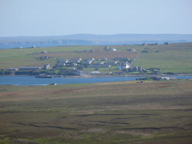
Wyng is a small village located on the Mainland of Orkney, an archipelago situated off the northeastern coast of Scotland. It is nestled in a picturesque setting, surrounded by rolling green hills and breathtaking views of the North Sea. With a population of around 200 residents, Wyng offers a tranquil and close-knit community atmosphere.

The village is known for its rich history, dating back to prehistoric times. It is home to several ancient archaeological sites, including the Skara Brae, a UNESCO World Heritage site that showcases well-preserved Neolithic dwellings. Visitors can explore these remarkable structures and gain insights into the lives of the people who lived here over 5,000 years ago.

In addition to its historical significance, Wyng is renowned for its natural beauty. The rugged coastline offers opportunities for scenic walks and birdwatching, with colonies of seabirds and seals often spotted along the cliffs. The nearby Loch of Harray is a popular spot for fishing, boasting an abundance of trout and pike.

The village itself features charming traditional houses, a small church, and a friendly local pub. Visitors can enjoy hearty meals and indulge in some of Orkney's renowned seafood cuisine. The annual Wyng Regatta is a highlight of the village's social calendar, where locals and visitors come together for a day of boat races, live music, and traditional festivities.

Overall, Wyng is a captivating destination for history enthusiasts, nature lovers, and those seeking a peaceful retreat. Its combination of archaeological wonders, stunning landscapes, and warm community spirit make it a must-visit location in the Orkney Islands.

If you have any feedback on the listing, please let us know in the comments section below.
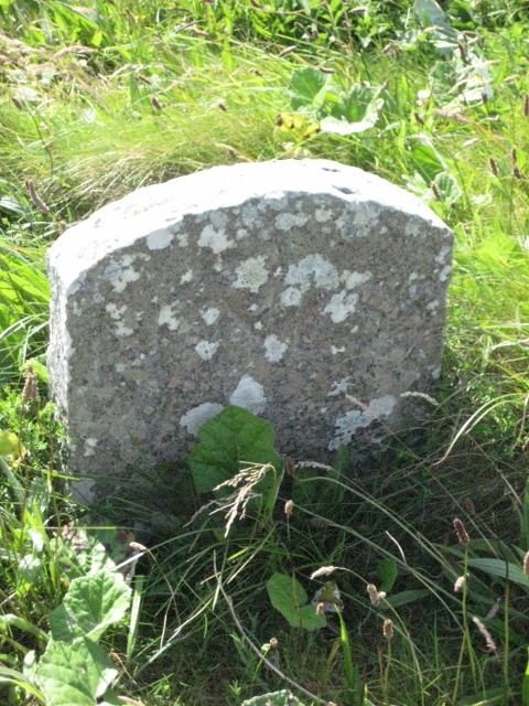
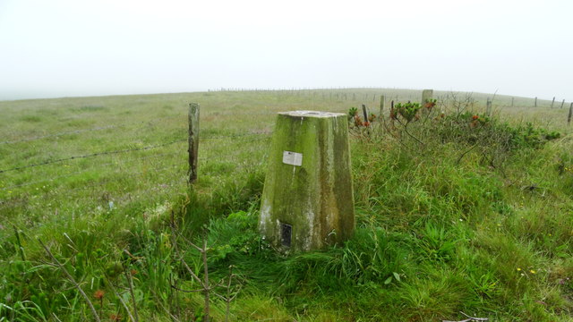
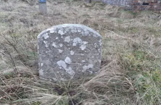
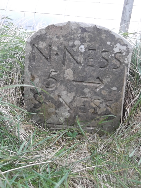
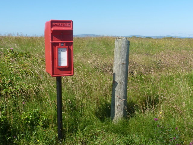
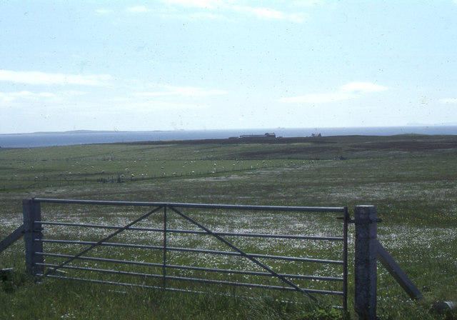
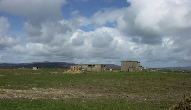
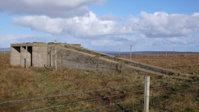
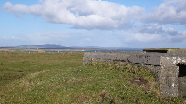
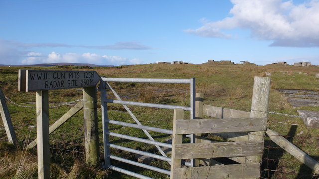
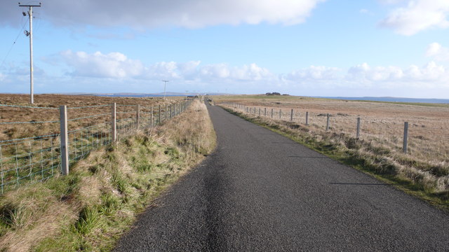
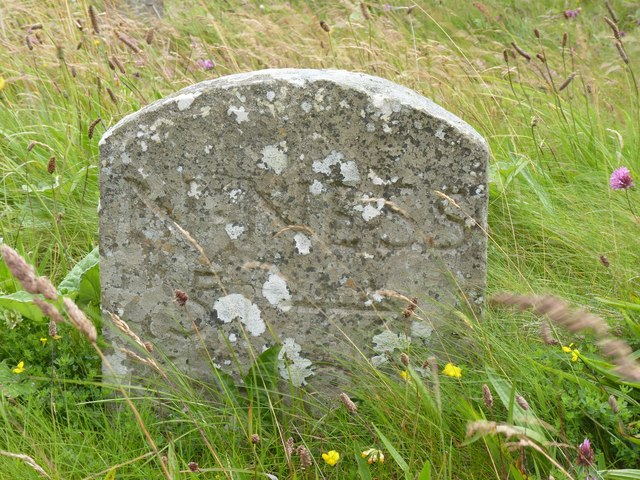
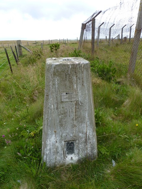
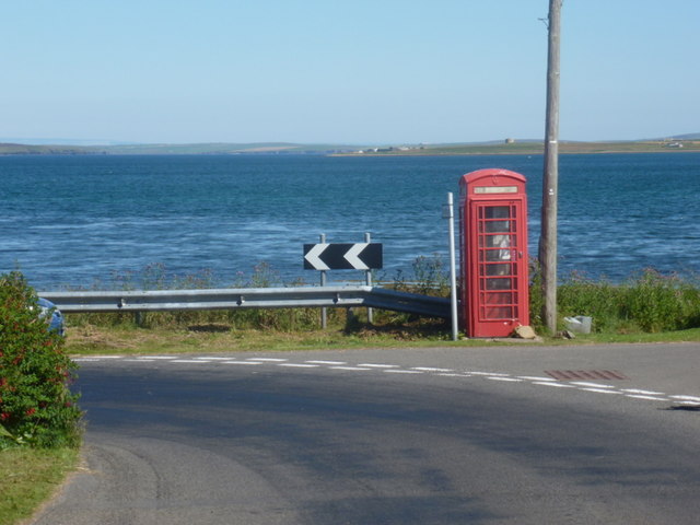
Wyng Images

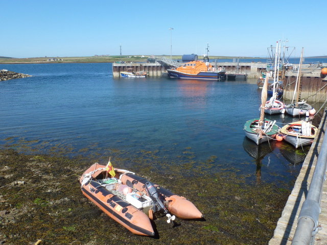
Images are sourced within 2km of 58.801336/-3.1832894 or Grid Reference ND3191. Thanks to Geograph Open Source API. All images are credited.

Old Milestone, South Walls, Orkney Milestone by the UC road, in parish of Walls and Flotta (Hoy District), South Walls, West of entrance to Aithsdale.

Inscription reads:- 
L'Ness
5
{arrow->} 
(To Lyness)

HES Grade C(S) listed.
Reference: LB48335 <span class="nowrap"><a title="http://portal.historicenvironment.scot/designation/LB48335" rel="nofollow ugc noopener" href="http://portal.historicenvironment.scot/designation/LB48335">Link</a><img style="margin-left:2px;" alt="External link" title="External link - shift click to open in new window" src="https://s1.geograph.org.uk/img/external.png" width="10" height="10"/></span>

Surveyed

Milestone Society National ID: OR_HYNNKH05
Old Milestone, South Walls, Orkney
Milestone by the UC road, in parish of Walls and Flotta (Hoy District), South Walls, West of entrance to Aithsdale. Inscription reads:- L'Ness 5 {arrow->} (To Lyness) HES Grade C(S) listed. Reference: LB48335 LinkExternal link Surveyed Milestone Society National ID: OR_HYNNKH05
South Walls (Hoy) - Trig point at Gallow Tuag
Old Milestone, South Walls, Orkney Milestone by the UC road, in parish of Walls and Flotta (Hoy District), South Walls, West of entrance to Aithsdale.

Inscription reads:- 
L'Ness
5
{arrow->} 
(To Lyness)

HES Grade C(S) listed.
Reference: LB48335 <span class="nowrap"><a title="https://portal.historicenvironment.scot/designation/LB48335" rel="nofollow ugc noopener" href="https://portal.historicenvironment.scot/designation/LB48335">Link</a><img style="margin-left:2px;" alt="External link" title="External link - shift click to open in new window" src="https://s1.geograph.org.uk/img/external.png" width="10" height="10"/></span>

Surveyed

Milestone Society National ID: OR_HYNNKH05
Old Milestone, South Walls, Orkney
Milestone by the UC road, in parish of Walls and Flotta (Hoy District), South Walls, West of entrance to Aithsdale. Inscription reads:- L'Ness 5 {arrow->} (To Lyness) HES Grade C(S) listed. Reference: LB48335 LinkExternal link Surveyed Milestone Society National ID: OR_HYNNKH05
Old Milestone by the B9047, Lythes, Walls & Flotta parish Milestone by the B9047, in parish of Walls & Flotta (Hoy District), Lythes, near farm gate, on banking, East side of road.

Inscription reads:-
N.NESS
5 {arrow->}
S.NESS
{<-arrow}

Grade C(S) listed.
Reference: LB48342 <span class="nowrap"><a title="http://portal.historicenvironment.scot/designation/LB48342" rel="nofollow ugc noopener" href="http://portal.historicenvironment.scot/designation/LB48342">Link</a><img style="margin-left:2px;" alt="External link" title="External link - shift click to open in new window" src="https://s1.geograph.org.uk/img/external.png" width="10" height="10"/></span>

Surveyed

Milestone Society National ID: OR_HYNNSN05
Old Milestone by the B9047, Lythes, Walls & Flotta parish
Milestone by the B9047, in parish of Walls & Flotta (Hoy District), Lythes, near farm gate, on banking, East side of road. Inscription reads:- N.NESS 5 {arrow->} S.NESS {<-arrow} Grade C(S) listed. Reference: LB48342 LinkExternal link Surveyed Milestone Society National ID: OR_HYNNSN05
South Walls: postbox &#8470; KW17 94, Eastbister A small postbox on the southern road across the island, emptied at 7:45 each weekday and Saturday morning.

Although Hoy and South Walls are postally within KW16 (Stromness), all the postboxes on the two islands are numbered KW17, presumably in error.
South Walls: postbox № KW17 94, Eastbister
A small postbox on the southern road across the island, emptied at 7:45 each weekday and Saturday morning. Although Hoy and South Walls are postally within KW16 (Stromness), all the postboxes on the two islands are numbered KW17, presumably in error.
South Walls, near Eastbister: view south to Snelsetter
Gallow Tuag Parked beside Orkney Islands Council Gallowtuag Landfill Site then backed the TuMP and the Aithsdale trig with Jim Bloomer and Tricky Speirs.
Name: Gallow Tuag
Hill number: 12240
Height: 57m / 187ft
Parent (Ma/M):none
Area:23: Orkney Islands
Class: 0
Grid ref: ND304895 (est)
Drop: 57m
Col: Sea
Gallow Tuag
Parked beside Orkney Islands Council Gallowtuag Landfill Site then backed the TuMP and the Aithsdale trig with Jim Bloomer and Tricky Speirs. Name: Gallow Tuag Hill number: 12240 Height: 57m / 187ft Parent (Ma/M):none Area:23: Orkney Islands Class: 0 Grid ref: ND304895 (est) Drop: 57m Col: Sea
South Walls Gallow Tuag WWII Royal Navy Wireless Station
South Walls
Gallow Tuag WWII Royal Navy Wireless Station
WW2 Radar Station Despite looking at this building from all different angles I couldn&amp;#039;t see how this was ever a radar station!  Just visible in the background are some of the many wooden posts which I assume were once part of the station.
WW2 Radar Station
Despite looking at this building from all different angles I couldn't see how this was ever a radar station! Just visible in the background are some of the many wooden posts which I assume were once part of the station.
Hill of Wards Gun Battery Many ruined buildings which once held artillery posts.
Hill of Wards Gun Battery
Many ruined buildings which once held artillery posts.
Grazing on South Walls South Walls is well known for the quality of its livestock.
Grazing on South Walls
South Walls is well known for the quality of its livestock.
Hill of Wards Gun Site
Road near to Eastbister A long stretch of road running through grazing land.  The closeness of island life was highlighted here when we had to wait almost ten minutes for dozens of cars to pass us after a service at the Longhope Cemetery
Road near to Eastbister
A long stretch of road running through grazing land. The closeness of island life was highlighted here when we had to wait almost ten minutes for dozens of cars to pass us after a service at the Longhope Cemetery
Milestone, South Walls, Orkney L&amp;#039;Ness 5 (Lyness)
Milestone, South Walls, Orkney
L'Ness 5 (Lyness)
Trigpoint at Aithsdale, South Walls, Orkney An easy trigpoint to access, though right by a landfill site so not very attractive, though in an otherwise attractive location.
Trigpoint at Aithsdale, South Walls, Orkney
An easy trigpoint to access, though right by a landfill site so not very attractive, though in an otherwise attractive location.
Lyness: phone box at North Ness This telephone box, correctly located on the 1:50,000 map but wrongly positioned on the 1:25,000, occupies an attractive position right by the shore.
Lyness: phone box at North Ness
This telephone box, correctly located on the 1:50,000 map but wrongly positioned on the 1:25,000, occupies an attractive position right by the shore.
Longhope: the harbour Small harbour and lifeboat at Longhope on the island of South Walls.
Longhope: the harbour
Small harbour and lifeboat at Longhope on the island of South Walls.
Longhope: view from Wee Fea A view over Longhope from the viewpoint a mile or two northwest above Lyness.
Longhope: view from Wee Fea
A view over Longhope from the viewpoint a mile or two northwest above Lyness.
Show me another place!

Wyng is located at Grid Ref: ND3191 (Lat: 58.801336, Lng: -3.1832894)

Unitary Authority: Orkney Islands

Police Authority: Highlands and Islands

What 3 Words

///found.streaks.expiring. Near Lyness, Orkney Islands

Nearby Locations

Wyng

Related Wikis

South Walls

South Walls (Scots: Sooth Waas), often referred to as Walls, is an inhabited island adjacent to Hoy in Orkney, Scotland. The name is a corruption of "Sooth...

Longhope, Orkney

Longhope is a coastal settlement on the island of South Walls, in Orkney, Scotland. South Walls is linked to Hoy by causeway; Longhope is the largest settlement...

Hackness Martello Tower and Battery

Hackness Martello Tower and Battery is a British Army barracks and museum located on the island of South Walls, in Orkney, Scotland. == History == The...

Crockness Martello tower

Crockness Martello Tower is a Martello Tower on Hoy, Orkney, Scotland. It was built during the Napoleonic Wars, at the same time as the Martello Tower...

Nearby Amenities

Located within 500m of 58.801336,-3.1832894
Wyng
Place: hamlet
Lat/Long: 58.8017346/-3.1784734
Power: pole
Lat/Long: 58.8001104/-3.1781253
Power: pole
Lat/Long: 58.8008433/-3.1755182
Power: pole
Lat/Long: 58.7982589/-3.1789166
Power: pole
Lat/Long: 58.7987341/-3.1807324
Power: pole
Lat/Long: 58.8017784/-3.1812421
Power: pole
Lat/Long: 58.8004057/-3.180491
Power: pole
Lat/Long: 58.7996157/-3.1800565
Power: pole
Lat/Long: 58.7989912/-3.1814137
Power: pole
Lat/Long: 58.799069/-3.1832269
Power: pole
Lat/Long: 58.7986577/-3.1857669
Power: pole
Lat/Long: 58.7984076/-3.1872502
Power: pole
Lat/Long: 58.7981144/-3.1889614
Power: pole
Lat/Long: 58.8003617/-3.1864459
The data included in this document is from www.openstreetmap.org. The data is made available under ODbL.

Have you been to Wyng?

Leave your review of Wyng below (or comments, questions and feedback).