Wykin

Settlement in Leicestershire Hinckley and Bosworth

England

Wykin

Fishing pond at Westmoreland Farm
Fishing pond at Westmoreland Farm Credit: Oliver Dixon

Wykin is a small village located in Leicestershire, England. It is situated near the town of Hinckley and is part of the Hinckley and Bosworth district. The village is known for its picturesque countryside, with rolling hills and lush green fields surrounding the area.

Wykin has a close-knit community, with a population of around 500 residents. The village is primarily residential, with a mix of traditional cottages and modern housing developments. There are a few local amenities in the village, including a small convenience store and a pub, providing residents with essential services and a place to socialize.

The village is well-connected to the surrounding areas, with easy access to major roads such as the A47 and the M69 motorway. This makes it convenient for residents to commute to nearby towns and cities for work or leisure.

Overall, Wykin is a charming village with a peaceful and rural atmosphere, making it an ideal place for those looking to escape the hustle and bustle of city life.

If you have any feedback on the listing, please let us know in the comments section below.
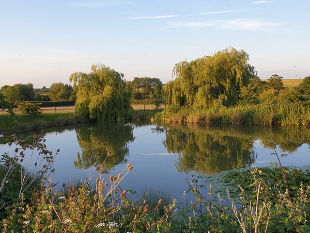
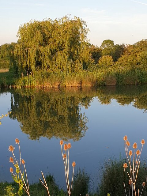
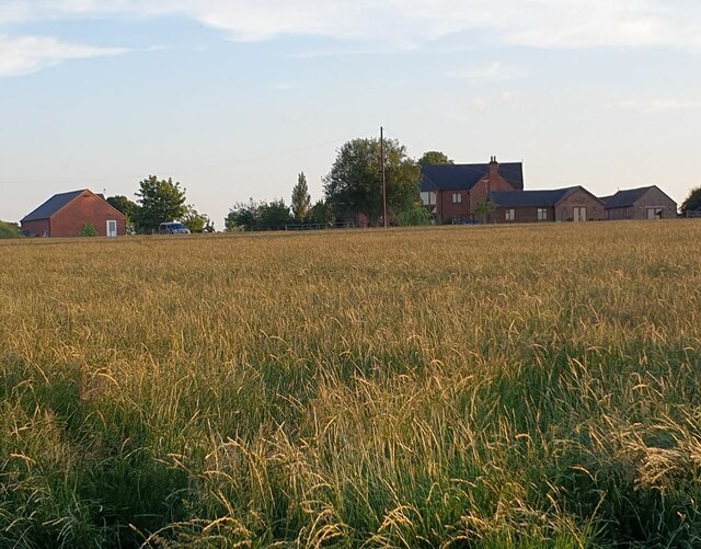
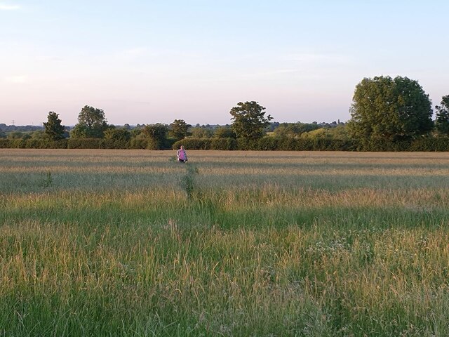
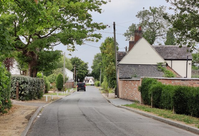
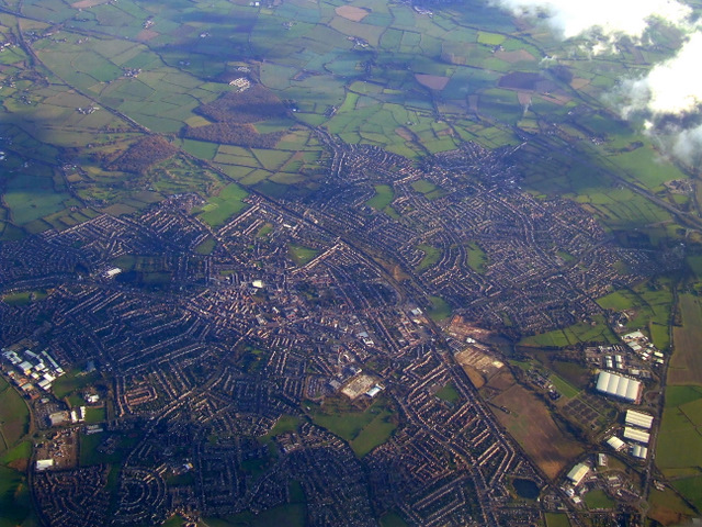
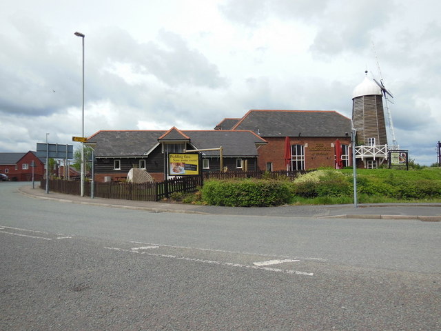
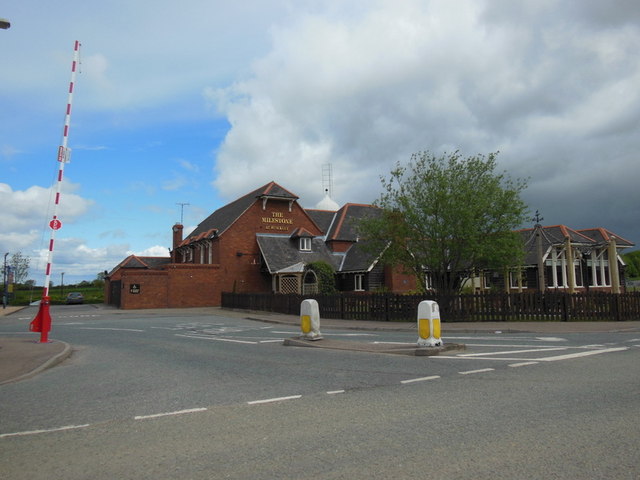
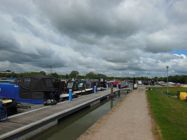
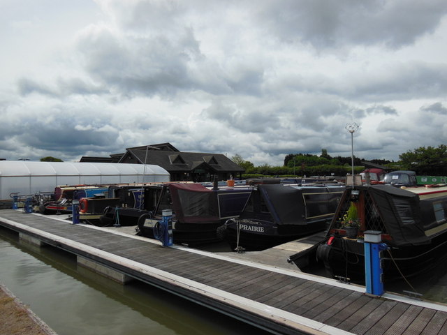
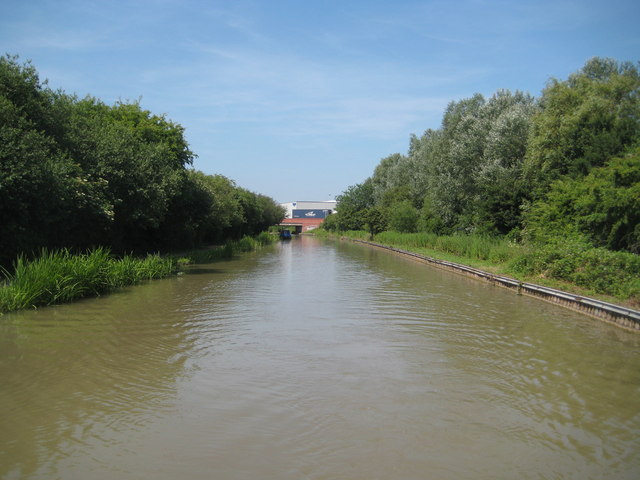
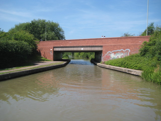
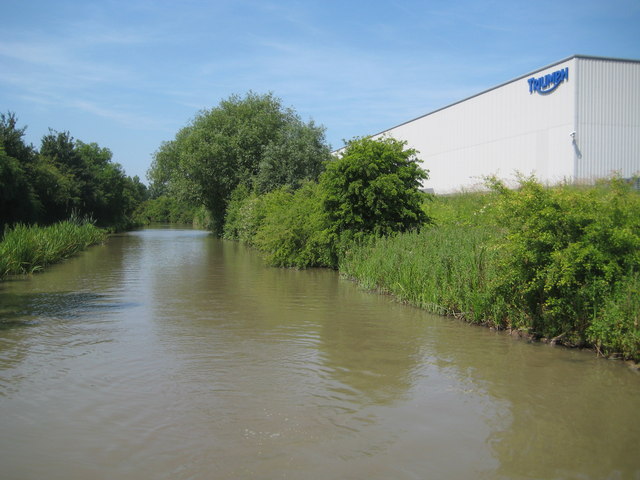
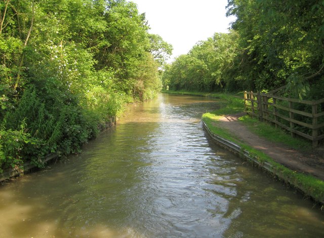
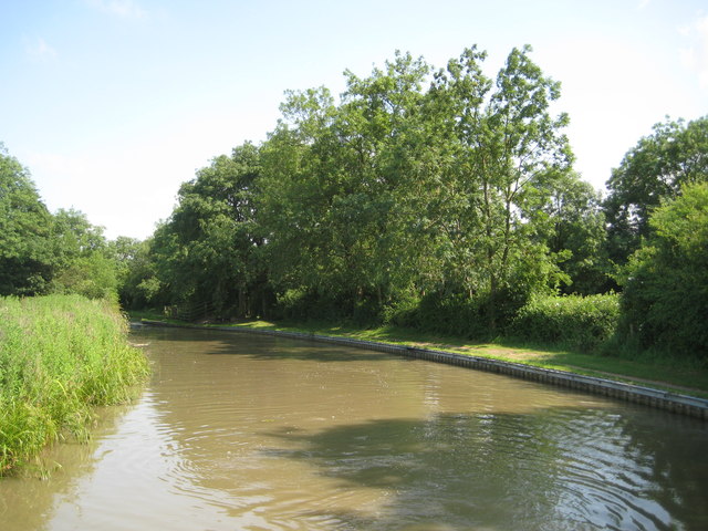
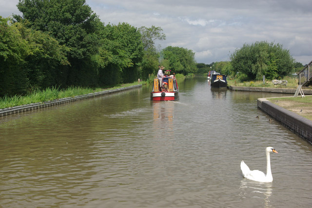
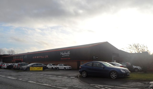
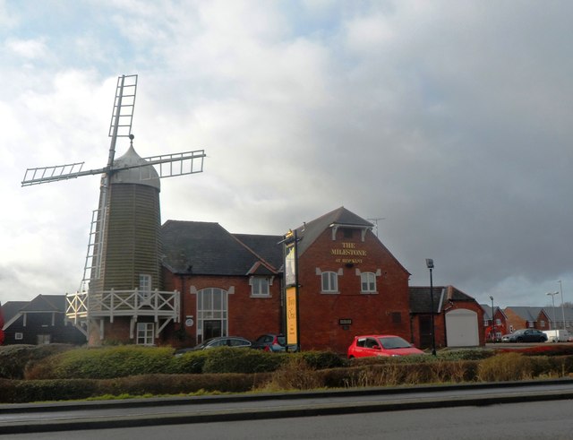
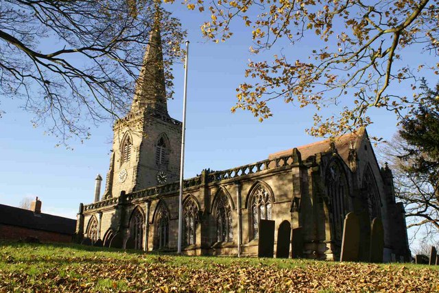
Wykin Images

Images are sourced within 2km of 52.554694/-1.401421 or Grid Reference SP4095. Thanks to Geograph Open Source API. All images are credited.

Fishing pond at Westmoreland Farm
Reflections in the pond Fishing pond at Westmoreland Farm.
Reflections in the pond
Fishing pond at Westmoreland Farm.
Westmoreland Farm
Westmoreland Farm
Roaming in the gloaming At Westmoreland Farm.
Roaming in the gloaming
At Westmoreland Farm.
Wykin Road in Wykin
Wykin Road in Wykin
Hinckley from the air Viewed from a Prague bound flight from East Midlands. See also <a href="https://www.geograph.org.uk/photo/2408627">SP4192 : Hinckley from the air</a>.
Hinckley from the air
Viewed from a Prague bound flight from East Midlands. See also SP4192 : Hinckley from the air.
The Milestone at Hinckley
The Marina at Hinckley
Ashby Canal: Reach in Hinckley Up until the latter part of the 20th Century the canal ran through open fields through here. The later urban sprawl of Hinckley, with a residential area to the right and an industrial area to the left, are however shielded from the canal by trees. The only evidence of industry is the Triumph motor cycle factory visible above <a href="https://www.geograph.org.uk/photo/3563950">SP4093 : Ashby Canal: Bridge Number 17A</a> in the distance.
Ashby Canal: Reach in Hinckley
Up until the latter part of the 20th Century the canal ran through open fields through here. The later urban sprawl of Hinckley, with a residential area to the right and an industrial area to the left, are however shielded from the canal by trees. The only evidence of industry is the Triumph motor cycle factory visible above SP4093 : Ashby Canal: Bridge Number 17A in the distance.
Ashby Canal: Bridge Number 17A Bridge Number 17A is Dodwell's Road Bridge and takes the A47 Hinckley northern bypass over the canal.
Ashby Canal: Bridge Number 17A
Bridge Number 17A is Dodwell's Road Bridge and takes the A47 Hinckley northern bypass over the canal.
Ashby Canal: Reach in Hinckley & the Triumph factory Up until the latter part of the 20th Century the canal ran through open fields through here. The later residential and industrial urban sprawl of Hinckley is for the most part shielded from the canal by trees. An exception here is the new Triumph motorcycle factory.
Ashby Canal: Reach in Hinckley & the Triumph factory
Up until the latter part of the 20th Century the canal ran through open fields through here. The later residential and industrial urban sprawl of Hinckley is for the most part shielded from the canal by trees. An exception here is the new Triumph motorcycle factory.
Ashby Canal: Site of Bridge Number 18 This narrowing of the canal is where Bridge Number 18 used to carry a byway from Watling Street to Wykin over it. The bridge was unfortunately demolished just before the canal became a statutory conservation area. Confusingly various editions and scales of the Ordnance Survey mapping, including the version of the 1:50,000 scale mapping currently available to the Geograph site, still show the bridge as extant with rights of way leading up to the non-existent crossing. A short diversion of a couple of a hundred metres northwards to Bridge Number 19 is necessary (unless you are carrying a boat or want to swim across...).
Ashby Canal: Site of Bridge Number 18
This narrowing of the canal is where Bridge Number 18 used to carry a byway from Watling Street to Wykin over it. The bridge was unfortunately demolished just before the canal became a statutory conservation area. Confusingly various editions and scales of the Ordnance Survey mapping, including the version of the 1:50,000 scale mapping currently available to the Geograph site, still show the bridge as extant with rights of way leading up to the non-existent crossing. A short diversion of a couple of a hundred metres northwards to Bridge Number 19 is necessary (unless you are carrying a boat or want to swim across...).
Ashby Canal: Reach in Hinckley The canal just cuts across the south-western corner of this grid square. <a href="https://www.geograph.org.uk/photo/3564005">SP4093 : Ashby Canal: Site of Bridge Number 18</a> is just around the corner to the left.
Ashby Canal: Reach in Hinckley
The canal just cuts across the south-western corner of this grid square. SP4093 : Ashby Canal: Site of Bridge Number 18 is just around the corner to the left.
Ashby Canal, Hinckley A narrowboat passes the entrance to Trinity Marina.
Ashby Canal, Hinckley
A narrowboat passes the entrance to Trinity Marina.
Industrial units - Hinckley
The Milestone at Hinckley
Show me another place!

Wykin is located at Grid Ref: SP4095 (Lat: 52.554694, Lng: -1.401421)

Administrative County: Leicestershire

District: Hinckley and Bosworth

Police Authority: Leicestershire

What 3 Words

///retain.sprays.pulps. Near Stoke Golding, Leicestershire

Nearby Locations

Wykin

Related Wikis

Wykin

Wykin is a hamlet in the English county of Leicestershire. Wykin is located to the north-west of the town of Hinckley and is separated from it by the...

Hijaz College

Hijaz College is a British Muslim school located in Nuneaton, Warwickshire, England. Hijaz College combines traditional Islamic education with the British...

St Martin's Catholic Academy

Saint Martin's Catholic Academy (formerly Saint Martin's Catholic High School) is a coeducational 11-16 Roman Catholic secondary school located in Stoke...

Stoke Golding

Stoke Golding is a village and civil parish in the Hinckley and Bosworth district of Leicestershire, England, close to the county border with Warwickshire...

Related Videos

Walking Tour of UK -Nuneaton to Hinckley | UK Vlog Ep2 | MachisKiTeeliTV

Hinckley is a market town in southwest Leicestershire, England. It is administered by Hinckley and Bosworth Borough Council.

Stroll Along the High Street of the Market Town of Hinckley , UK Walking Tour in 4K.

Stroll along the High Street of the market town of Hinckley , UK Walking Tour in 4K. Hinckley is a market town located in ...

Nearby Amenities

Located within 500m of 52.554694,-1.401421
Wykin
Place: hamlet
Wikidata: Q8039871
Lat/Long: 52.5552538/-1.4023023
Power: pole
Lat/Long: 52.553198/-1.3956714
Power: pole
Lat/Long: 52.5539384/-1.3947219
Noexit: yes
Lat/Long: 52.5525802/-1.4065621
Noexit: yes
Lat/Long: 52.5526442/-1.4056437
Noexit: yes
Lat/Long: 52.5530031/-1.4072438
The data included in this document is from www.openstreetmap.org. The data is made available under ODbL.

Have you been to Wykin?

Leave your review of Wykin below (or comments, questions and feedback).