Wykey

Settlement in Shropshire

England

Wykey

Woodland, Boreatton Park A small oak wood.
Woodland, Boreatton Park Credit: Richard Webb

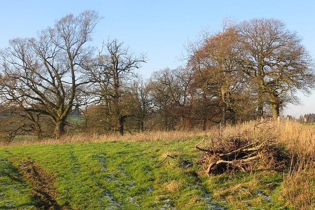
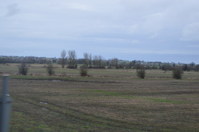
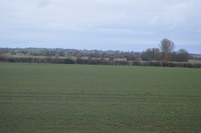
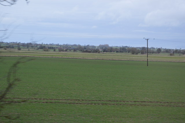
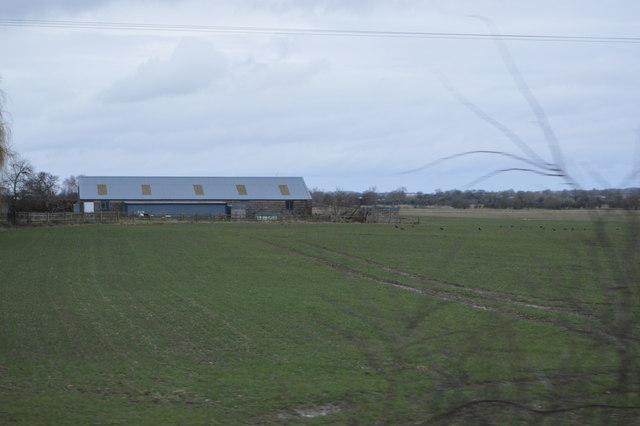
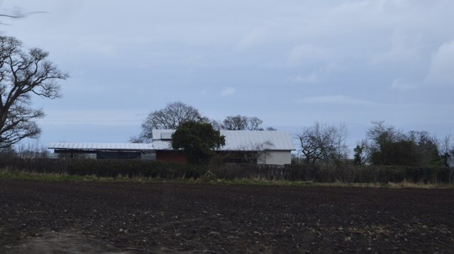
Wykey is a small rural hamlet located in Shropshire, England. Situated near the town of Ellesmere, Wykey is known for its picturesque countryside, rolling hills, and quaint cottages. The hamlet is surrounded by fields and farmland, providing a peaceful and tranquil setting for residents and visitors alike.

Wykey is home to a small community of residents who enjoy the quiet and close-knit atmosphere of the hamlet. The local architecture is characteristic of traditional English villages, with historic buildings and charming cottages lining the streets.

Despite its small size, Wykey offers a range of amenities for its residents, including a local pub, village hall, and small shops. The hamlet is also within easy reach of larger towns and cities, with good transport links to nearby Ellesmere and Shrewsbury.

Overall, Wykey is a charming and idyllic village, perfect for those seeking a peaceful and rural lifestyle in the heart of the Shropshire countryside.

If you have any feedback on the listing, please let us know in the comments section below.

Wykey Images

Images are sourced within 2km of 52.815428/-2.9041464 or Grid Reference SJ3924. Thanks to Geograph Open Source API. All images are credited.

Woodland, Boreatton Park A small oak wood.
Woodland, Boreatton Park
A small oak wood.
Wetland near Stanwardine On the edge of the moors, a large area of low lying drained land.
Wetland near Stanwardine
On the edge of the moors, a large area of low lying drained land.
Baggy Moor Edge of a large wetland area beside the River Perry.
Baggy Moor
Edge of a large wetland area beside the River Perry.
Lane Cottage, Limpit Hill
Near Broome Farm
Near Broome Farm
Farmland in the Perry Valley
Drainage ditch, Perry Valley
Often flooded A low-lying field deast of the embanked road to Bagley.
Often flooded
A low-lying field deast of the embanked road to Bagley.
Boreatton Park Farming activity near Boreatton Park.
Boreatton Park
Farming activity near Boreatton Park.
Rural road Near Boreatton Park.
Rural road
Near Boreatton Park.
Farm road to Birch Park
River Perry The River Perry is a river in Shropshire. It rises near Oswestry and flows south to meet the River Severn above Shrewsbury, a distance of 24 miles. The channel has been heavily engineered, both to enable water mills to be powered by it, and to improve the drainage of the surrounding land. 
Wikipedia: <span class="nowrap"><a title="http://en.wikipedia.org/wiki/River_Perry,_Shropshire" rel="nofollow ugc noopener" href="http://en.wikipedia.org/wiki/River_Perry,_Shropshire">Link</a><img style="margin-left:2px;" alt="External link" title="External link - shift click to open in new window" src="https://s1.geograph.org.uk/img/external.png" width="10" height="10"/></span>
River Perry
The River Perry is a river in Shropshire. It rises near Oswestry and flows south to meet the River Severn above Shrewsbury, a distance of 24 miles. The channel has been heavily engineered, both to enable water mills to be powered by it, and to improve the drainage of the surrounding land. Wikipedia: LinkExternal link
Floodplain of the River Perry
Flat farmland
Flat farmland
Farmland, Perry Valley
Farmland near Queen's Park
Barn, Queens Park
Barn, Queens Park
Barns, Lane End House
Show me another place!

Wykey is located at Grid Ref: SJ3924 (Lat: 52.815428, Lng: -2.9041464)

Unitary Authority: Shropshire

Police Authority: West Mercia

What 3 Words

///refrained.tolls.scrambles. Near Ruyton-XI-Towns, Shropshire

Nearby Locations

The Rough Wykey

Related Wikis

Wykey

Wykey is a hamlet in Shropshire, England. It is approximately 2 miles north of the larger village of Ruyton-XI-Towns, and is recognised as one of the eleven...

Packwood Haugh School

Packwood Haugh School is a co-educational private preparatory school for pupils from the ages of 4 to 13, offering places for both day and boarding pupils...

Shelvock Manor

Shelvock Manor is a house and grounds in a township of the same name near Shrewsbury, Shropshire, England. It was once a place of local importance, and...

Stanwardine Halt railway station

Stanwardine Halt was a minor station located north of Shrewsbury on the GWR's Paddington to Birkenhead main line. It was opened in the 1930s as part of...

Nearby Amenities

Located within 500m of 52.815428,-2.9041464
Passing Place
Lat/Long: 52.8148597/-2.9029845
Wykey
Place: village
Wikidata: Q3876569
Wikipedia: en:Wykey
Lat/Long: 52.8194777/-2.9052715
Post Box
Lat/Long: 52.8111364/-2.903706
Power: pole
Lat/Long: 52.8161713/-2.9114306
Power: pole
Lat/Long: 52.815317/-2.9105616
Power: pole
Lat/Long: 52.8144837/-2.9096898
Power: pole
Lat/Long: 52.813631/-2.9087859
Power: pole
Lat/Long: 52.8112195/-2.9055646
Power: pole
Lat/Long: 52.8111943/-2.9060729
Power: pole
Lat/Long: 52.8127474/-2.9078901
Power: pole
Lat/Long: 52.8119093/-2.9070291
Power: pole
Lat/Long: 52.811123/-2.9061922
Give Way
Direction: backward
Lat/Long: 52.8154232/-2.9041434
Telephone
Booth: K6
Covered: booth
Listed Status: Grade II
Operator: BT
Phone: +44 1939 260351
Lat/Long: 52.8186375/-2.9047773
Post Box
Post Box Type: wall
Lat/Long: 52.8186067/-2.9049248
The data included in this document is from www.openstreetmap.org. The data is made available under ODbL.

Have you been to Wykey?

Leave your review of Wykey below (or comments, questions and feedback).