Wrington
Settlement in Somerset
England
Wrington
The requested URL returned error: 429 Too Many Requests
If you have any feedback on the listing, please let us know in the comments section below.
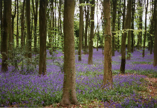
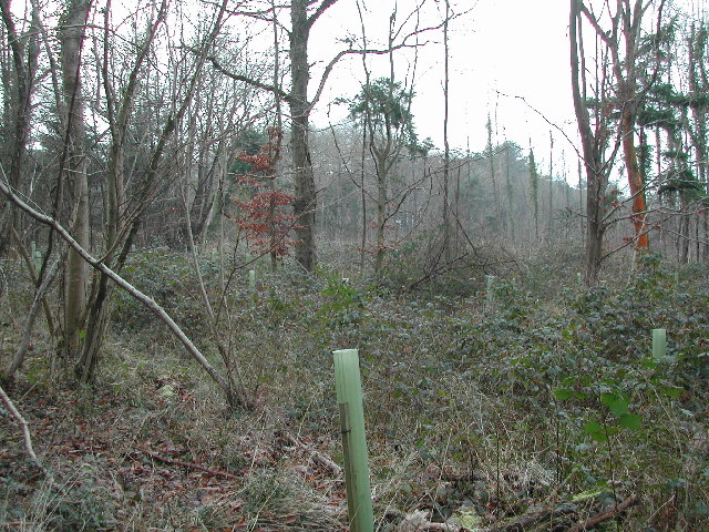
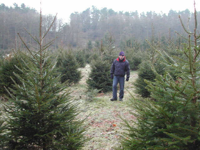
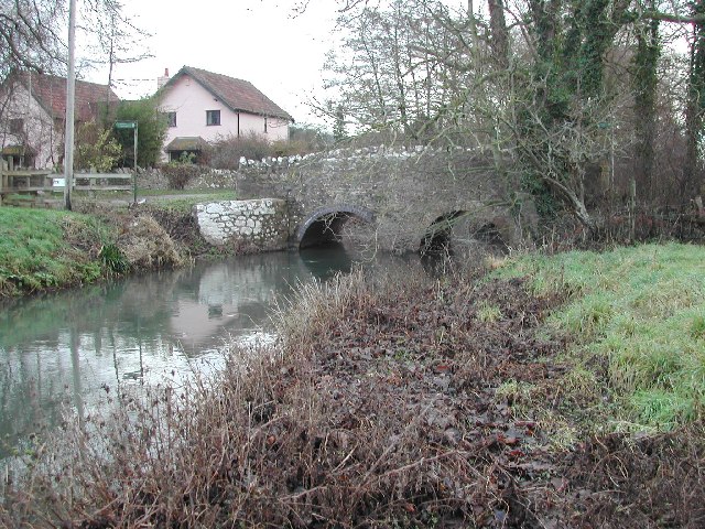
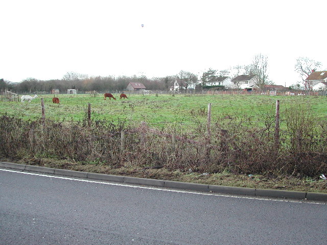
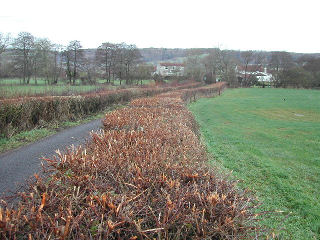
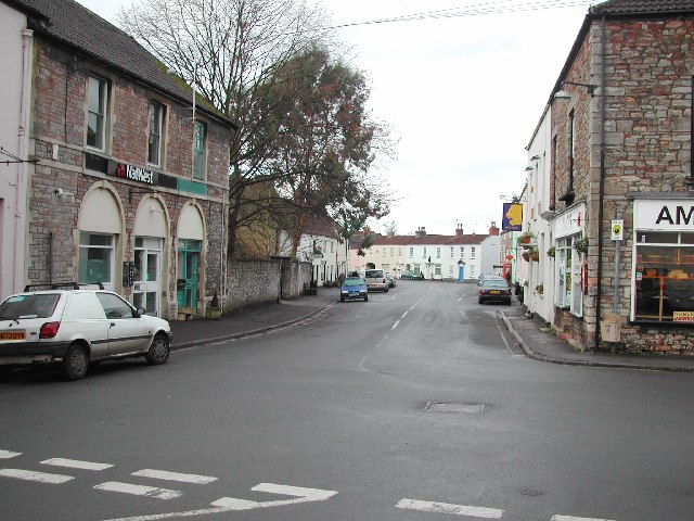
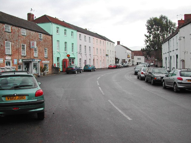
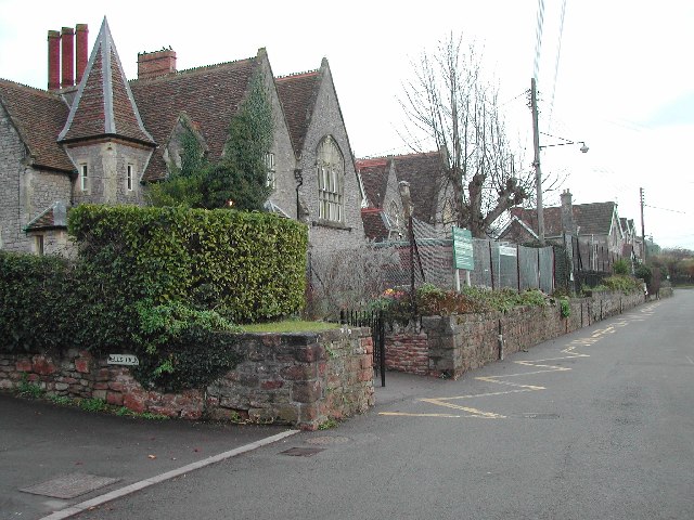
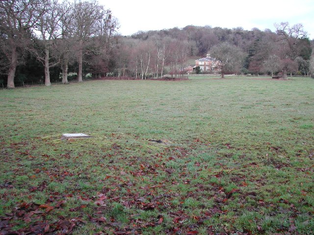
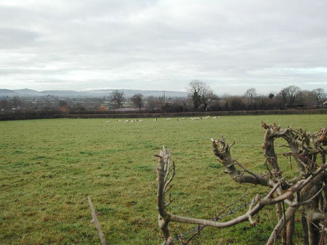
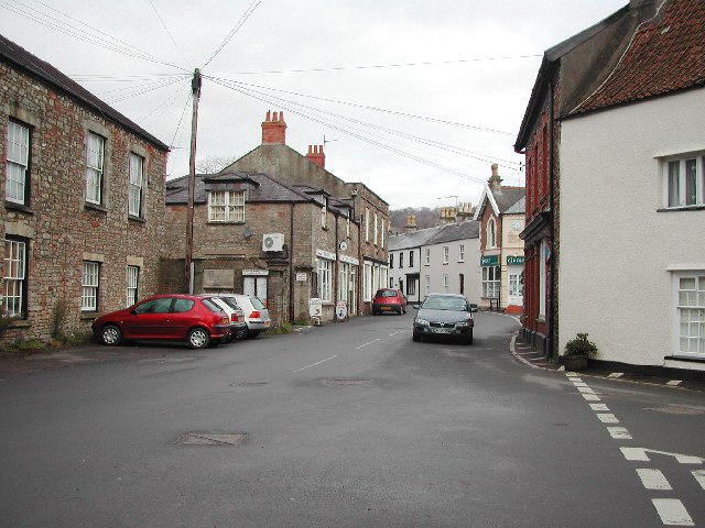
Wrington Images
Images are sourced within 2km of 51.361701/-2.763038 or Grid Reference ST4662. Thanks to Geograph Open Source API. All images are credited.
Wrington is located at Grid Ref: ST4662 (Lat: 51.361701, Lng: -2.763038)
Unitary Authority: North Somerset
Police Authority: Avon and Somerset
What 3 Words
///refer.collapsed.access. Near Wrington, Somerset
Nearby Locations
Related Wikis

Wrington
Wrington is a village and a civil and ecclesiastical parish on the north slopes of the Mendip Hills in North Somerset, England. Both include nearby Redhill...
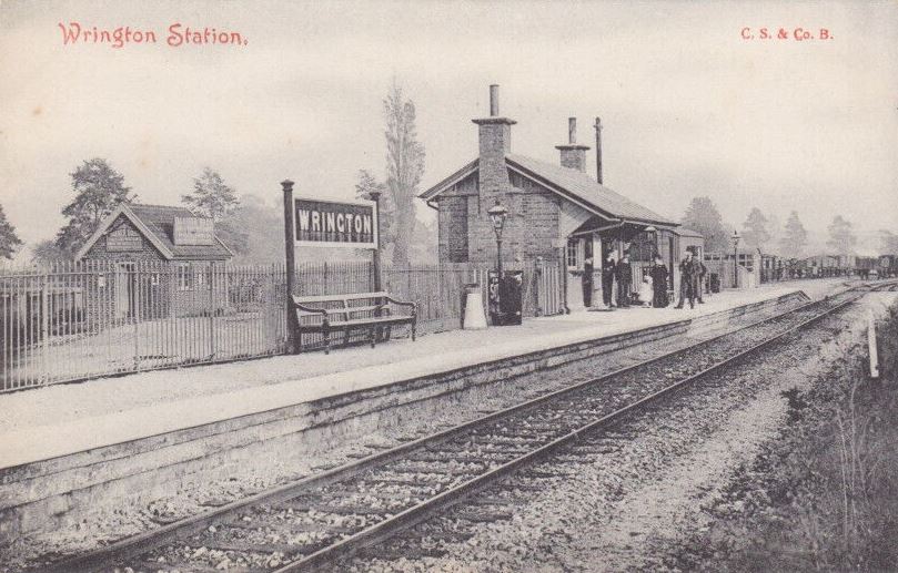
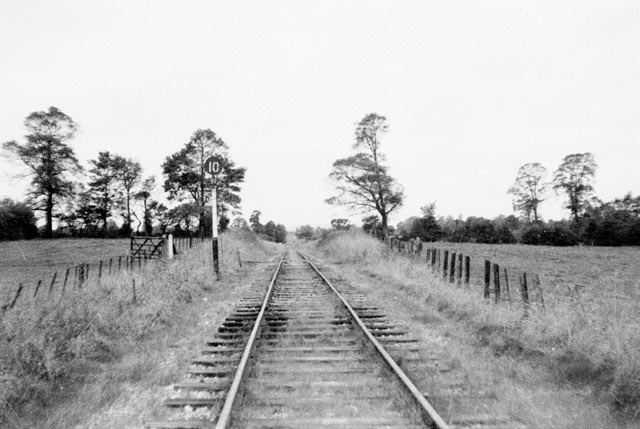
Wrington railway station
Wrington railway station was a station at Wrington on the Wrington Vale Light Railway, which ran from Congresbury to Blagdon, in Somerset, England. The...

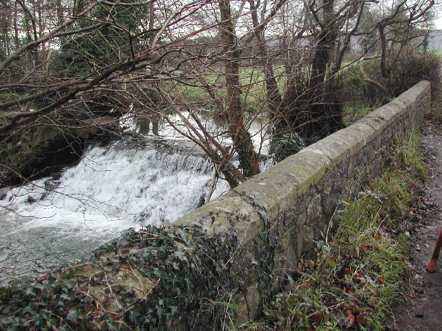
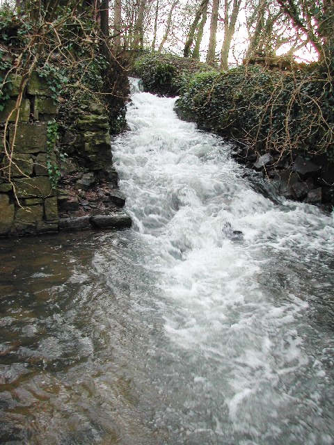
Bow Bridge, Iwood
Bow Bridge ( ) is a Grade II listed stone arched bridge, that crosses the Congresbury Yeo at Iwood, a hamlet of Congresbury in North Somerset. The bridge...

Meat Research Institute
The Meat Research Institute was a research institute in North Somerset. It was founded in 1967 to provide research for the British meat industry. ��2...
Nearby Amenities
Located within 500m of 51.361701,-2.763038Have you been to Wrington?
Leave your review of Wrington below (or comments, questions and feedback).