Wringsdown
Settlement in Devon
England
Wringsdown

Wringsdown is a small village located in the county of Devon, England. Situated in the South West region of the country, it lies within the civil parish of Brixton. The village is surrounded by picturesque countryside, offering breathtaking views and a tranquil atmosphere.
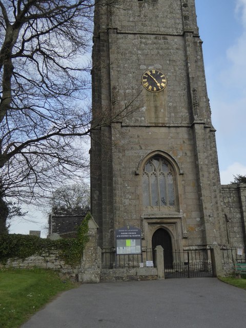
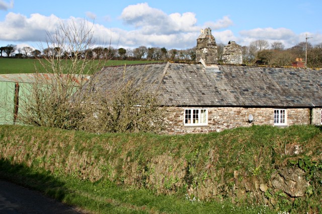
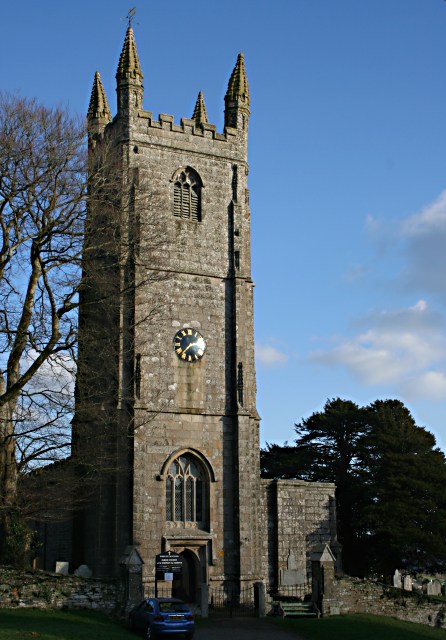
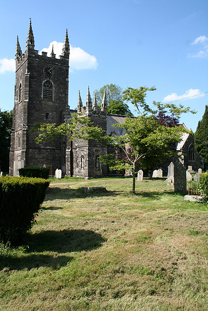
With a population of approximately 300 residents, Wringsdown has a close-knit community and a strong sense of community spirit. The village is characterized by its traditional architecture, with charming thatched cottages and well-preserved historic buildings. The local church, St. Mary's, stands as a prominent landmark, dating back to the 13th century and showcasing stunning architectural features.
Despite its small size, Wringsdown offers a range of amenities to its residents. There is a local pub, The Rose and Crown, which serves as a social hub for the village. Additionally, there is a village hall that hosts community events and gatherings. A small convenience store caters to the daily needs of the villagers, while nearby larger towns provide access to a wider range of services.
The village is surrounded by beautiful natural landscapes, making it an ideal location for outdoor enthusiasts. The nearby Dartmoor National Park offers opportunities for hiking, cycling, and wildlife spotting. The coastline is also within easy reach, with stunning beaches just a short drive away.
Overall, Wringsdown is a charming and peaceful village that exudes the quintessential English countryside charm. It offers a sense of community, picturesque surroundings, and easy access to both natural beauty and modern amenities.
If you have any feedback on the listing, please let us know in the comments section below.
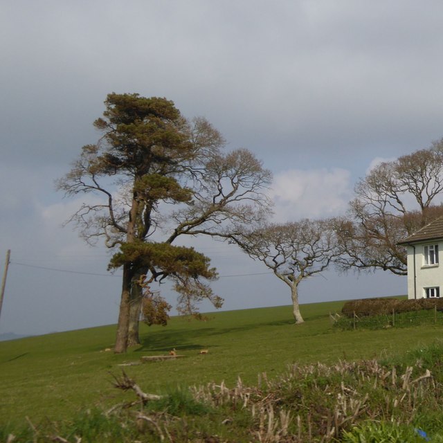
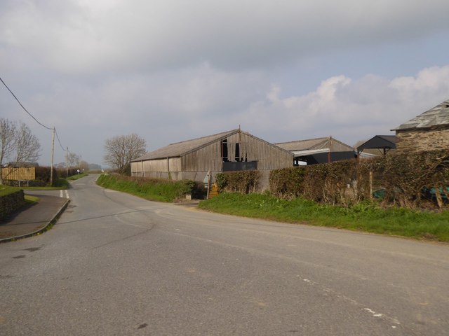
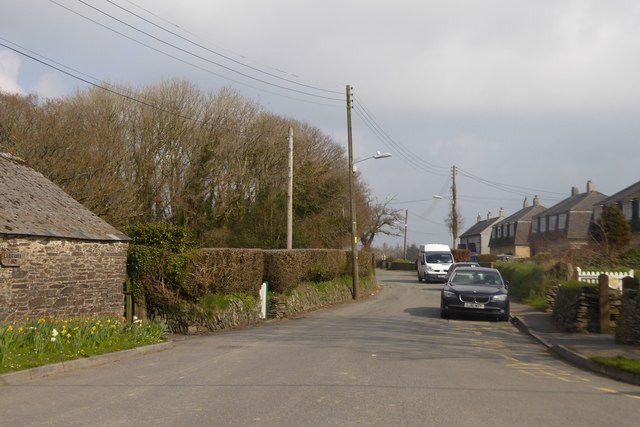
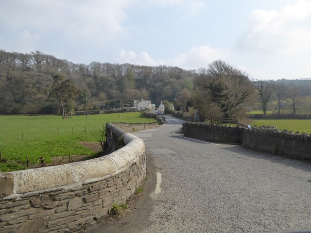
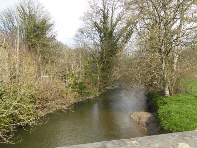
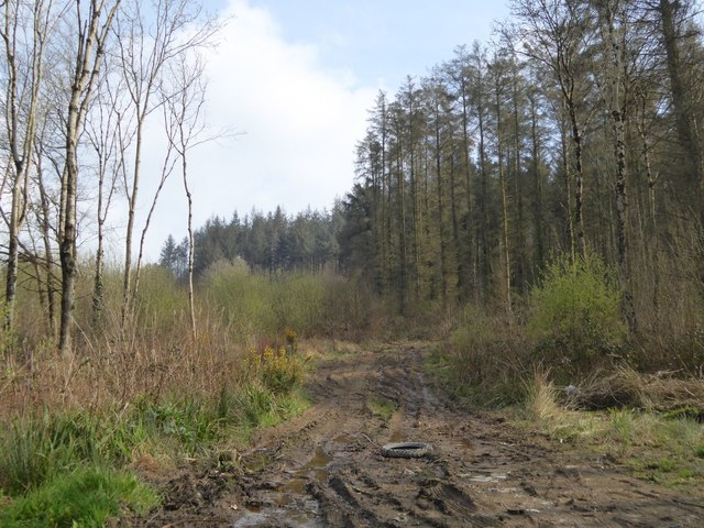
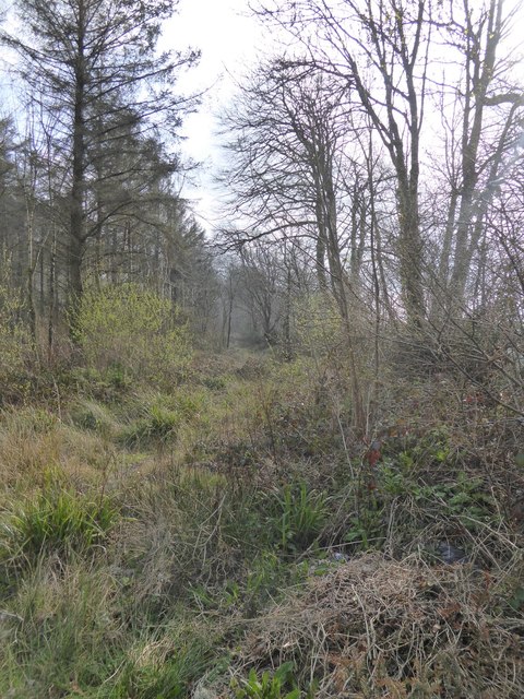
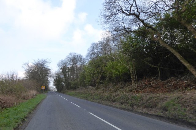
Wringsdown Images
Images are sourced within 2km of 50.658092/-4.3923497 or Grid Reference SX3187. Thanks to Geograph Open Source API. All images are credited.


Wringsdown is located at Grid Ref: SX3187 (Lat: 50.658092, Lng: -4.3923497)
Unitary Authority: Cornwall
Police Authority: Devon and Cornwall
What 3 Words
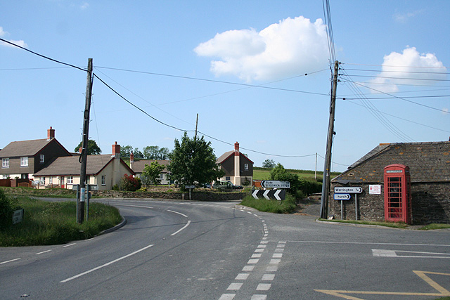
///warms.routine.arts. Near Werrington, Cornwall
Nearby Locations
Related Wikis

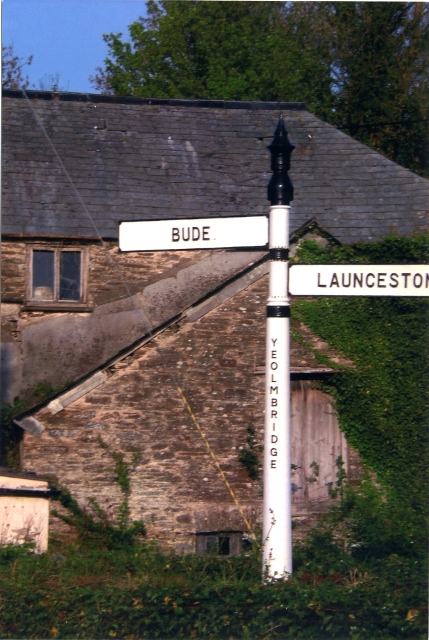
Yeolmbridge
Yeolmbridge is a village in Cornwall (but within the boundaries of the historic county of Devon), two and a half miles north of Launceston. == Yeolm... ==
Truscott, Cornwall
Truscott is a hamlet in Cornwall, England, United Kingdom. It is in the parish of St Stephens by Launceston Rural and is about halfway between St Stephens...
Launceston Rural District
Launceston Rural District was a local government division of Cornwall between 1894 and 1974. Established under the Local Government Act 1894, the rural...

Langore
Langore (Cornish: Nansgover) is a village in Cornwall, England. It is in the parish of St Stephens by Launceston Rural (where the population of the 2011...
Ladycross
Ladycross is a hamlet near Werrington (where the population of the 2011 census was included.) in Cornwall, England. It is on the B3254 road half a mile...
Broadwoodwidger Rural District
Broadwoodwidger was a rural district in the administrative county of Devon from 1894 to 1966, northeast of Launceston. The district consisted of part...
St Stephens by Launceston Rural
St Stephens by Launceston Rural is a civil parish in the east of Cornwall, England, United Kingdom. It is in the Registration district of Launceston. The...
Werrington, Cornwall
Werrington (Cornish: Trewolvredow) is a civil parish and former manor now in Cornwall, England, United Kingdom. Prior to boundary changes it straddled...
Have you been to Wringsdown?
Leave your review of Wringsdown below (or comments, questions and feedback).