Worthing
Settlement in Norfolk Breckland
England
Worthing

Worthing is a small village located in the county of Norfolk, England. Situated approximately 8 miles northeast of Norwich, the village is nestled in a picturesque rural setting, surrounded by rolling hills and open countryside. Worthing falls within the Broadland district and is part of the civil parish of Postwick with Witton.
The village is known for its peaceful and tranquil atmosphere, making it an ideal retreat for those seeking a break from the hustle and bustle of city life. Its charm lies in its unspoiled natural beauty and traditional Norfolk architecture, with many of the buildings in the village dating back several centuries.
Worthing is also home to the Church of St. Peter and St. Paul, a historical landmark that dates back to the 14th century. The church's impressive architecture and beautiful stained glass windows attract visitors from far and wide.
Although small in size, Worthing boasts a close-knit community that takes great pride in its village. The residents actively participate in various community events and initiatives, fostering a strong sense of camaraderie.
While Worthing may not offer a wide range of amenities, the village is conveniently located near the city of Norwich, providing easy access to a plethora of shops, restaurants, and entertainment options. The surrounding area also offers numerous opportunities for outdoor activities, including hiking, cycling, and boating, thanks to its proximity to the Norfolk Broads.
In summary, Worthing is a charming village in Norfolk, offering a peaceful and idyllic retreat for those looking to immerse themselves in the beauty of rural England.
If you have any feedback on the listing, please let us know in the comments section below.
Worthing Images
Images are sourced within 2km of 52.740304/0.95903796 or Grid Reference TF9919. Thanks to Geograph Open Source API. All images are credited.


Worthing is located at Grid Ref: TF9919 (Lat: 52.740304, Lng: 0.95903796)
Administrative County: Norfolk
District: Breckland
Police Authority: Norfolk
What 3 Words
///tweed.clumped.gracing. Near North Elmham, Norfolk
Nearby Locations
Related Wikis

Worthing, Norfolk
Worthing is a small village and former civil parish, now in the parish of Hoe and Worthing, in the Breckland district, in the county of Norfolk, England...
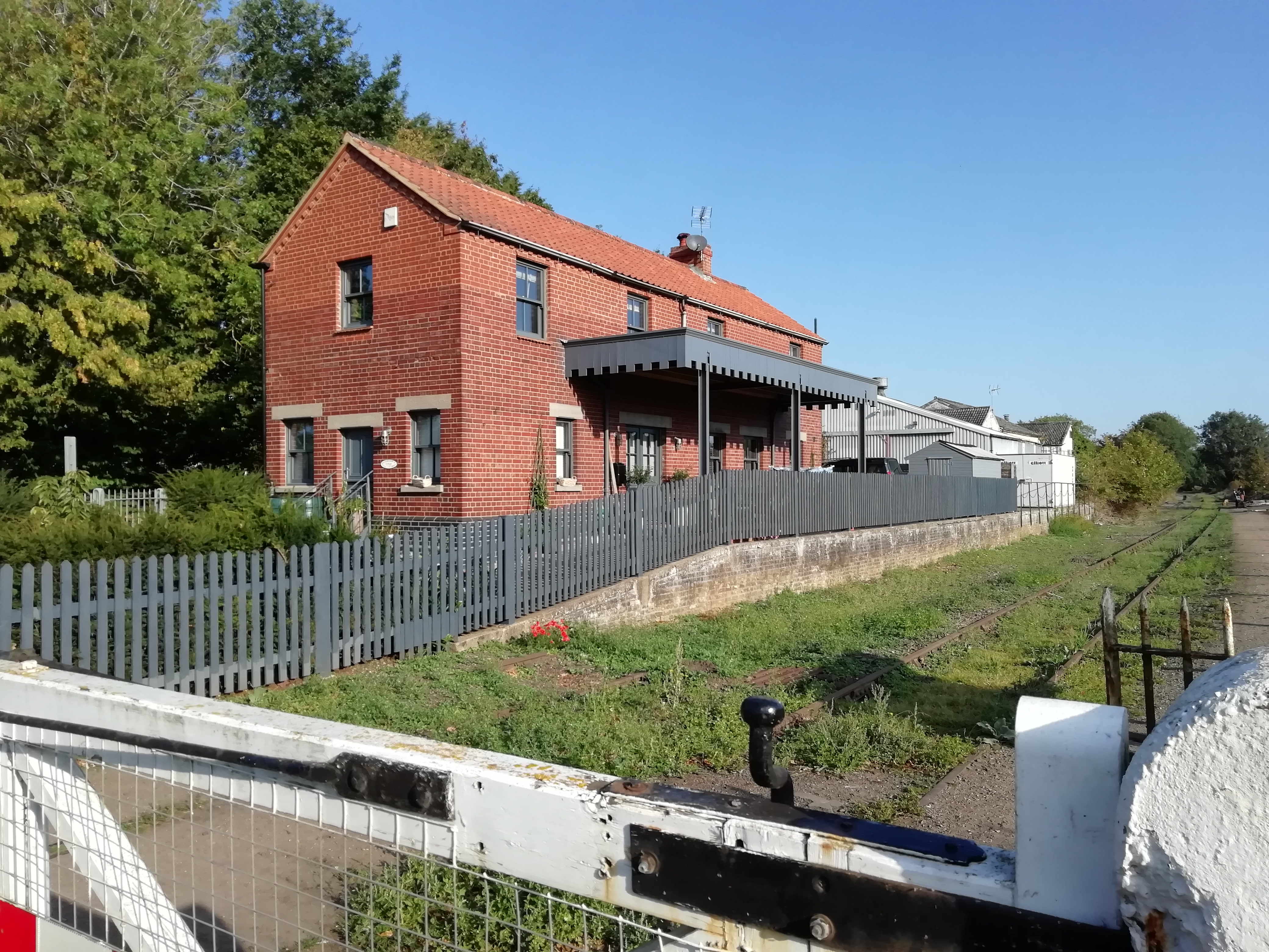
North Elmham railway station
North Elmham railway station served the village of North Elmham in the English county of Norfolk. The station was part of the Wymondham to Wells Branch...

Robertson Barracks, Norfolk
Robertson Barracks is a military installation near Swanton Morley in Norfolk. It is home to 1st The Queen's Dragoon Guards. It is set to close in 2029...
RAF Swanton Morley
Royal Air Force Swanton Morley or more simply RAF Swanton Morley, is a former Royal Air Force station in Norfolk, England, located near to the village...
Nearby Amenities
Located within 500m of 52.740304,0.95903796Have you been to Worthing?
Leave your review of Worthing below (or comments, questions and feedback).