Alcombe
Settlement in Somerset Somerset West and Taunton
England
Alcombe

Alcombe is a small village located in the county of Somerset, England. Situated on the eastern edge of Exmoor National Park, it lies approximately one mile north of the popular tourist town of Minehead. Alcombe has a population of around 3,000 people.
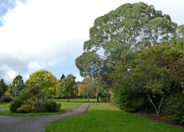
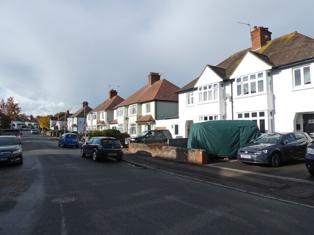
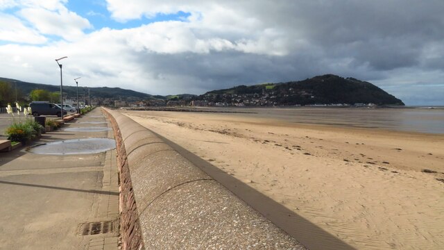
The village is known for its picturesque surroundings, with rolling hills, lush green fields, and stunning views of the nearby coast. It offers a peaceful and tranquil setting for residents and visitors alike, making it a popular destination for those seeking a break from the hustle and bustle of city life.
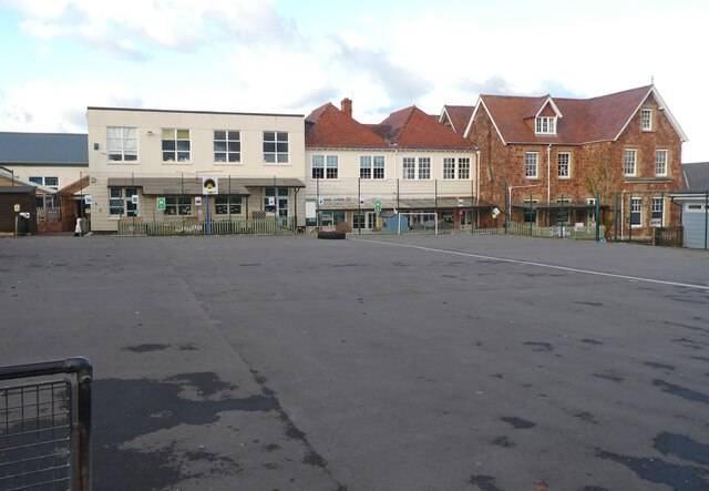
Alcombe is home to several amenities, including a primary school, a post office, a convenience store, and a number of local pubs and restaurants. The village also has a strong sense of community, with various social and recreational activities taking place throughout the year.
For outdoor enthusiasts, Alcombe provides easy access to the beautiful Exmoor National Park, offering opportunities for hiking, cycling, and wildlife spotting. The nearby coast provides opportunities for water-based activities such as swimming, fishing, and sailing.
Transport links in Alcombe are convenient, with regular bus services connecting the village to Minehead and other nearby towns. The closest railway station is in Minehead, providing connections to larger cities such as Bristol and Taunton.
Overall, Alcombe offers a charming and idyllic setting for residents and visitors, with its stunning natural surroundings, community spirit, and easy access to both Exmoor National Park and the coast.
If you have any feedback on the listing, please let us know in the comments section below.
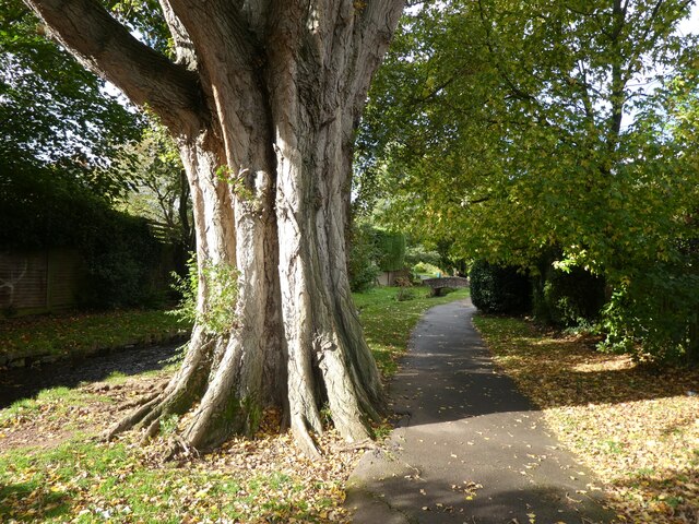
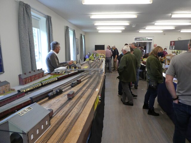
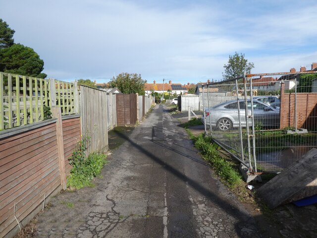
Alcombe Images
Images are sourced within 2km of 51.196273/-3.469797 or Grid Reference SS9745. Thanks to Geograph Open Source API. All images are credited.


Alcombe is located at Grid Ref: SS9745 (Lat: 51.196273, Lng: -3.469797)
Administrative County: Somerset
District: Somerset West and Taunton
Police Authority: Avon and Somerset
What 3 Words
///wriggled.tucked.causes. Near Minehead, Somerset
Nearby Locations
Related Wikis

West Somerset College
West Somerset College (is sometimes abbreviated to WSC and was previously known as West Somerset Community College prior to the college re-brand in September...

The Kildare Lodge Inn
The Kildare Lodge Inn in Minehead, Somerset, England, was built in 1905/6, and is located at 18 Townsend Road, to the south east of the town centre of...

Minehead
Minehead is a coastal town and civil parish in Somerset, England. It lies on the south bank of the Bristol Channel, 21 miles (34 km) north-west of the...

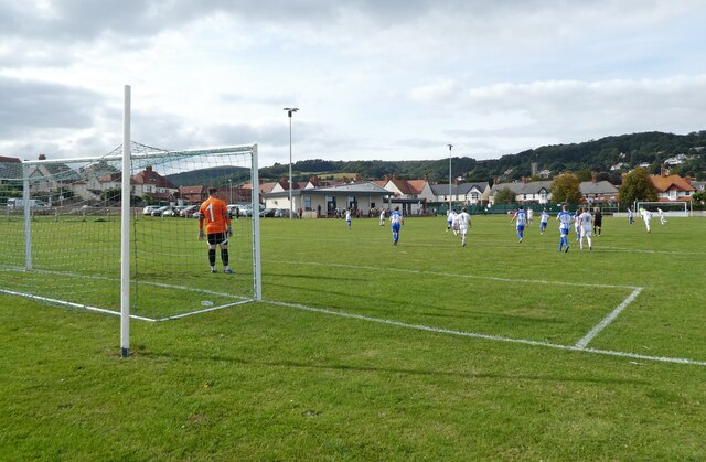
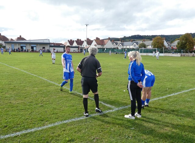
Minehead A.F.C.
Minehead Association Football Club is a football club based in Minehead, Somerset, England. The club are currently members of the Somerset County League...
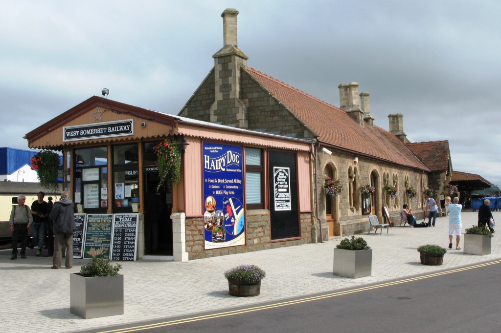
Minehead railway station
Minehead railway station is situated in Minehead in Somerset, England. First opened in 1874 as the terminus and headquarters of the Minehead Railway,...
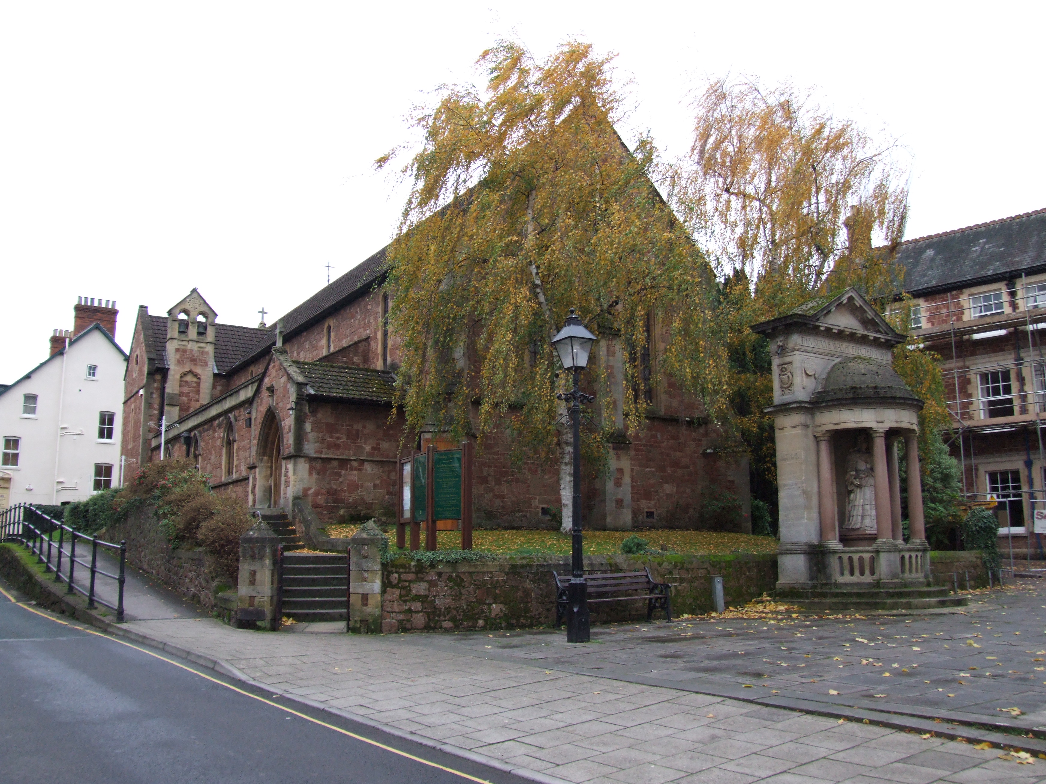
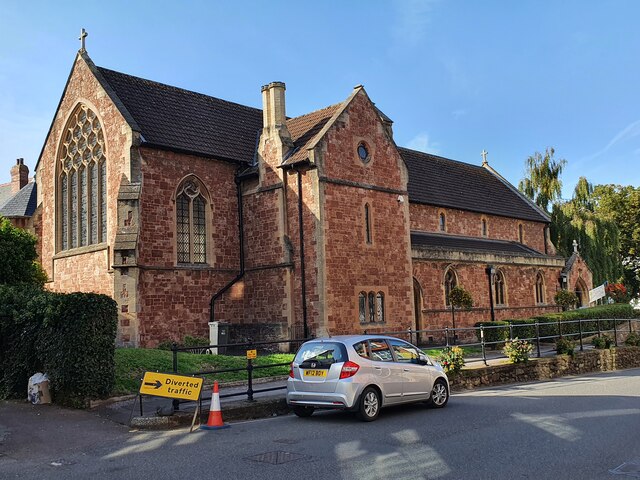
St Andrew's Church, Minehead
St Andrew's Church is a Church of England church in Minehead, Somerset, England. Designed by George Edmund Street, it was built in 1877–80 and has been...

Statue of Queen Anne, Minehead
The Statue of Queen Anne in Minehead, Somerset, England was built in 1719. It is a Grade II* listed building. == History == The statue depicts Queen Anne...

Queen's Hall, Minehead
The Queen's Hall in Minehead, Somerset, England, was built in 1914 on the sea front of Minehead as a theatre for films and live performances. It was designed...
Nearby Amenities
Located within 500m of 51.196273,-3.469797Have you been to Alcombe?
Leave your review of Alcombe below (or comments, questions and feedback).