Wormleighton

Settlement in Warwickshire Stratford-on-Avon

England

Wormleighton

By Fenny Compton Wharf
By Fenny Compton Wharf Credit: David Howard

Wormleighton is a small village located in the county of Warwickshire, England. Situated approximately 8 miles southeast of the town of Southam, it lies within the district of Stratford-on-Avon. The village is surrounded by picturesque countryside and is known for its rural charm.

Wormleighton has a rich history dating back to medieval times. The village is dominated by Wormleighton Manor, an impressive Grade I listed Tudor mansion. Built in the 16th century, the manor is renowned for its architectural beauty and historical significance. It was once the home of Sir Fulke Greville, a prominent figure in English history.

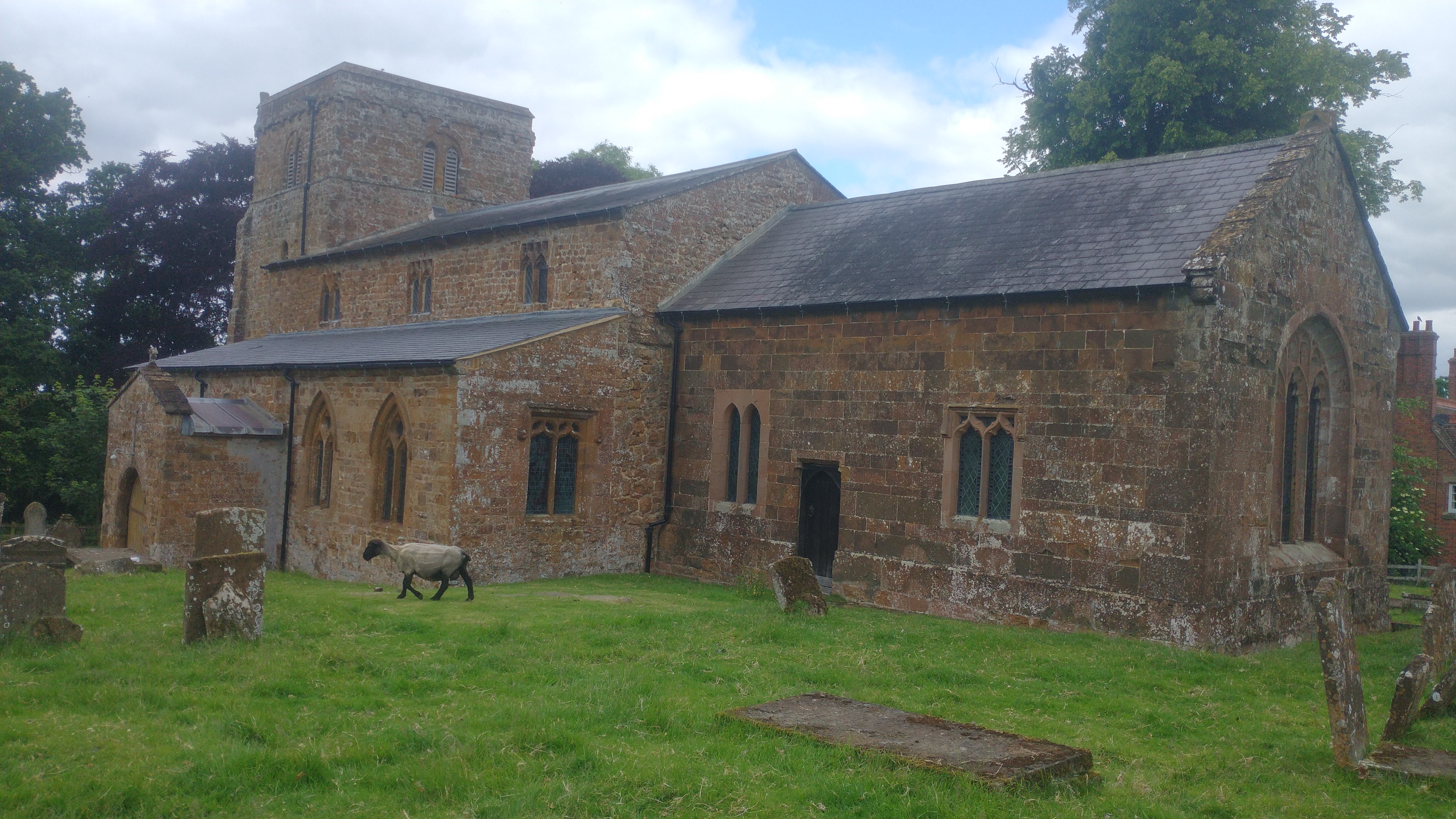
The village itself is relatively small, with a population of around 100 residents. It features a mixture of traditional stone cottages, farmhouses, and modern houses. The village also boasts a small church, St. Peter's, which dates back to the 13th century and is a popular landmark among visitors.

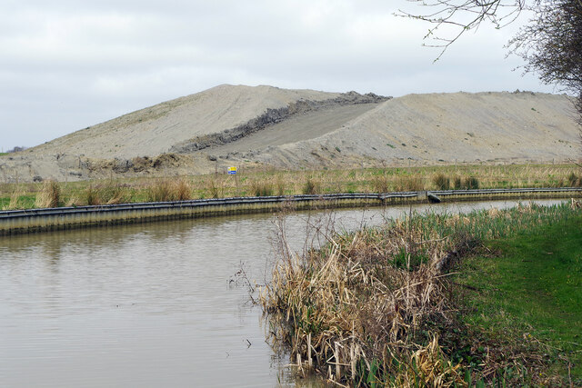
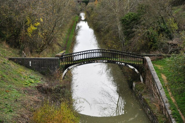
Wormleighton is surrounded by rolling hills and picturesque countryside, making it an ideal location for outdoor activities such as hiking and cycling. The village is also in close proximity to several nature reserves and country parks, providing ample opportunities for nature enthusiasts.

Despite its small size, Wormleighton benefits from its proximity to larger towns and cities. The nearby town of Southam offers a range of amenities, including shops, schools, and leisure facilities. The city of Warwick, with its famous castle and historic charm, is also within easy reach.

In conclusion, Wormleighton is a charming village in Warwickshire with a rich history and beautiful natural surroundings. It is an idyllic location for those seeking a peaceful rural lifestyle while still having access to nearby amenities and attractions.

If you have any feedback on the listing, please let us know in the comments section below.
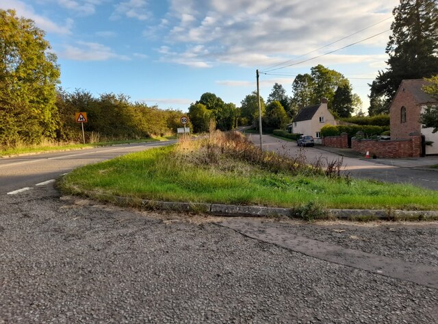
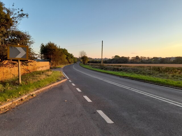
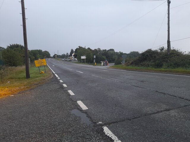
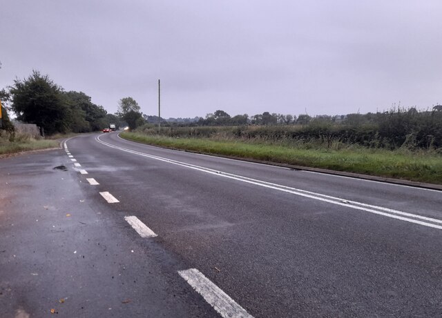
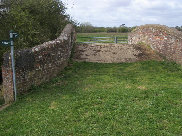
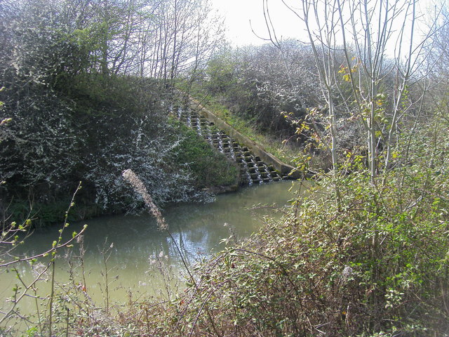
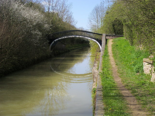
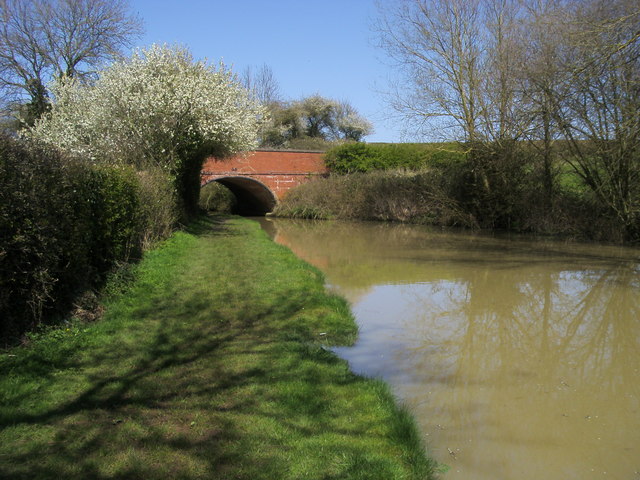
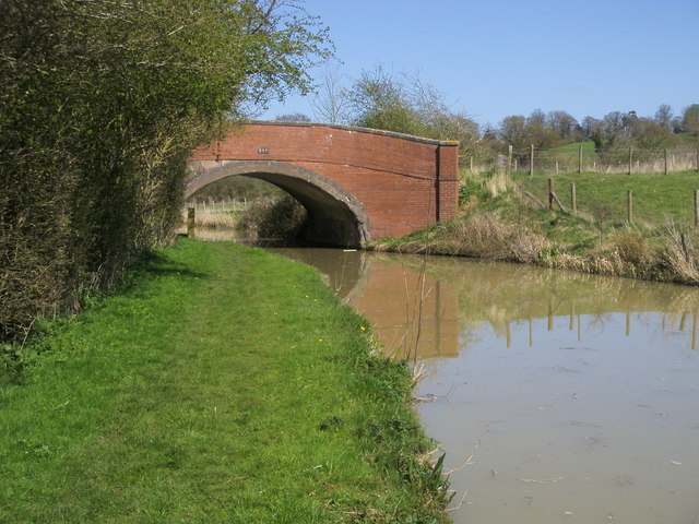
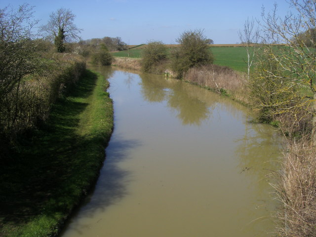
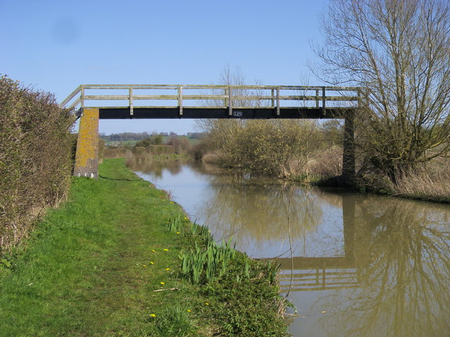
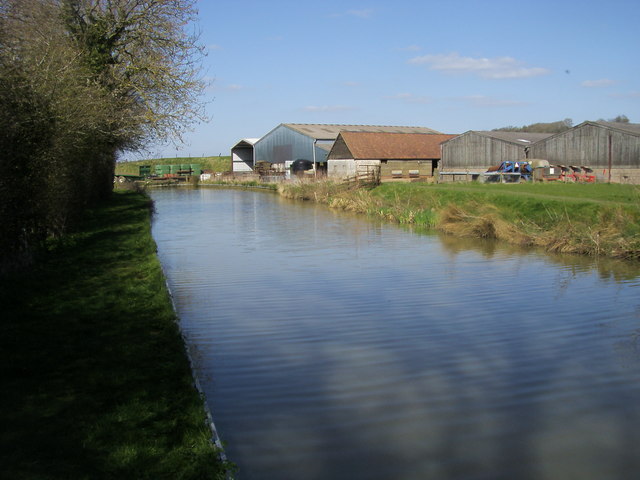
Wormleighton Images

Images are sourced within 2km of 52.179041/-1.3448315 or Grid Reference SP4453. Thanks to Geograph Open Source API. All images are credited.

By Fenny Compton Wharf
Layby on Southam Road, Fenny Compton
Horse chestnut tree by Southam Road, Fenny Compton
HS2 works beside the Oxford Canal A huge pile of earth has arisen here beside the canal near Stoneton Bridge. This will form the route of the new High Speed 2 railway. There was no sign of work being done in this Sunday view, however.
HS2 works beside the Oxford Canal
A huge pile of earth has arisen here beside the canal near Stoneton Bridge. This will form the route of the new High Speed 2 railway. There was no sign of work being done in this Sunday view, however.
The Turnover Bridge at 'The Tunnel' This cast-iron bridge on the Oxford Canal was installed to allow horses on the towpath to change from one side of the canal to the other.  Originally a narrow tunnel was built here, but it was opened out in later years to allow a better traffic flow along the route.  This part of the canal is still known as 'The Tunnel'.
The Turnover Bridge at 'The Tunnel'
This cast-iron bridge on the Oxford Canal was installed to allow horses on the towpath to change from one side of the canal to the other. Originally a narrow tunnel was built here, but it was opened out in later years to allow a better traffic flow along the route. This part of the canal is still known as 'The Tunnel'.
Fenny Compton South Junction This is the junction on the Great Western main line at Fenny Compton for the branch to the MOD Kineton army base.  This line is the remaining stub of the Stratford & Midland Junction Railway, a rambling group of cross-country lines that were closed in the 1960's.  The grey cabin is what now passes for a signalbox, the junction these days being controlled remotely from a signalling centre.
Fenny Compton South Junction
This is the junction on the Great Western main line at Fenny Compton for the branch to the MOD Kineton army base. This line is the remaining stub of the Stratford & Midland Junction Railway, a rambling group of cross-country lines that were closed in the 1960's. The grey cabin is what now passes for a signalbox, the junction these days being controlled remotely from a signalling centre.
The Wharf Inn, Fenny Compton
Banbury Road, Fenny Compton
Layby on Southam Road, Fenny Compton Here is my previous visit. <a title="https://www.geograph.org.uk/photo/6996683" href="https://www.geograph.org.uk/photo/6996683">Link</a>
Layby on Southam Road, Fenny Compton
Here is my previous visit. Link
D'Arcy Dalton Way By Wormleighton Reservoir the D'Arcy Dalton Way starts out heading over the Oxford Canal
D'Arcy Dalton Way
By Wormleighton Reservoir the D'Arcy Dalton Way starts out heading over the Oxford Canal
Oxford Canal Overflow down into the Oxford Canal
Oxford Canal
Overflow down into the Oxford Canal
Oxford Canal Walk Oxford Canal Walk at Fenny Compton Turnover Bridge No 137a
Oxford Canal Walk
Oxford Canal Walk at Fenny Compton Turnover Bridge No 137a
Oxford Canal Walk Oxford Canal Walk at Sherne Hill Bridge No 135
Oxford Canal Walk
Oxford Canal Walk at Sherne Hill Bridge No 135
Oxford Canal Walk Oxford Canal Walk at Wells Bridge No 134
Oxford Canal Walk
Oxford Canal Walk at Wells Bridge No 134
Oxford Canal Walk Oxford Canal Walk view from Old Town Bridge No 133
Oxford Canal Walk
Oxford Canal Walk view from Old Town Bridge No 133
Oxford Canal Walk Oxford Canal Walk at Ladder Bridge No 129
Oxford Canal Walk
Oxford Canal Walk at Ladder Bridge No 129
Oxford Canal Walk Oxford Canal Walk passing farm buildings
Oxford Canal Walk
Oxford Canal Walk passing farm buildings
Show me another place!

Wormleighton is located at Grid Ref: SP4453 (Lat: 52.179041, Lng: -1.3448315)

Administrative County: Warwickshire

District: Stratford-on-Avon

Police Authority: Warwickshire

What 3 Words

///roadblock.prelude.greet. Near Claydon, Oxfordshire

Related Wikis

Wormleighton Manor

Wormleighton Manor is a manor house in the civil parish of Wormleighton in the historic county of Warwickshire, England. It belonged to the wealthy Spencer...

Wormleighton

Wormleighton is a village in Warwickshire on top of Wormleighton Hill overlooking the River Cherwell, England. The population taken at the 2011 census...

Fenny Compton West railway station

Fenny Compton West railway station was a railway station serving Fenny Compton in the English county of Warwickshire. == History == It was opened by East...

Fenny Compton railway station

Fenny Compton railway station was a railway station serving Fenny Compton in Warwickshire, England. == History == The Great Western Railway opened the...

Related Videos

ANOTHER NIGHT CRUISE! Through Fenny Compton. More Narrowboat Journeys on the Oxford Canal.

A Night Cruise to Fenny Compton. More Narrowboat Journeys on the Oxford Canal. 9th August 2022. Cameras used (not ...

69. A NARROWBOAT Safari On The Oxford Canal. Plus A Cracking Cruise From Napton To Fenny Compton!

69. A NARROWBOAT Safari On The Oxford Canal. Plus A Cracking Cruise From Napton To Fenny Compton! Link to buy me a ...

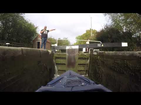
103 - Banbury to Fenny Compton || A Narrowboat Time-Lapse on the Oxford Canal

From: Banbury To: Fenny Compton Waterways: The Oxford Canal Date Filmed: 5th October 2021 #Timelapse #Narrowboat ...

#106 Yet Another Shooting the Breeze - Big Bird Doesn't Fly - Narrowboat Cruise on the Oxford Canal

Yet Another Shooting the Breeze After a short stay at Fenny Compton, we jump back onboard with Mark as he cruises towards ...

Nearby Amenities

Located within 500m of 52.179041,-1.3448315
Wormleighton
Place: hamlet
Lat/Long: 52.1790224/-1.3451912
Post Box
Post Box Type: lamp
Ref: CV47 84
Royal Cypher: EIIR
Royal Cypher Wikidata: Q33102113
Lat/Long: 52.1787851/-1.3453496
Barrier: footgate
Lat/Long: 52.1832979/-1.3463326
Bus Stop
Church Close
Bus: yes
Naptan AtcoCode: 4200F082100
Naptan Bearing: E
Naptan CommonName: Church Close
Naptan Indicator: Adj
Naptan NaptanCode: waradwjw
Naptan Street: Unclassified Road
Naptan Verified: no
Public Transport: platform
Source: naptan_import
Lat/Long: 52.1785173/-1.3455809
Church Close
Naptan AtcoCode: 4200F082101
Naptan Bearing: W
Naptan BusStopType: CUS
Naptan CommonName: Church Close
Naptan Indicator: Opp
Naptan NaptanCode: wardjpwd
Naptan Street: Unclassified Road
Naptan Verified: no
Source: naptan_import
Lat/Long: 52.178407/-1.3454526
Power: pole
Lat/Long: 52.1766588/-1.3469553
Power: pole
Lat/Long: 52.1762261/-1.3482648
Power: pole
Lat/Long: 52.1757727/-1.3495897
Power: pole
Lat/Long: 52.1757355/-1.3496574
The data included in this document is from www.openstreetmap.org. The data is made available under ODbL.

Have you been to Wormleighton?

Leave your review of Wormleighton below (or comments, questions and feedback).