Wormit

Settlement in Fife

Scotland

Wormit

River Tay from Tay Rail Bridge
River Tay from Tay Rail Bridge Credit: Mike Pennington

Wormit is a small village located in the county of Fife, Scotland. Situated on the northern bank of the River Tay, it is a picturesque area that offers stunning views of the water and the surrounding countryside. The village lies approximately 4 miles east of the town of Newport-on-Tay and about 7 miles northeast of the city of Dundee.

Wormit is known for its idyllic setting and tranquil atmosphere, making it a popular destination for those seeking a peaceful retreat. The village is surrounded by lush green fields and rolling hills, providing ample opportunities for outdoor activities such as walking, hiking, and cycling.

One of Wormit's notable landmarks is the Tay Rail Bridge, which connects the village to Dundee. This iconic structure is a testament to the area's rich industrial history and is a popular spot for tourists to visit and take in the breathtaking views of the river and the bridge itself.

Despite its small size, Wormit offers a range of amenities and services to its residents and visitors. The village has a primary school, a community center, and a few local shops and restaurants. Additionally, it benefits from excellent transport links, with regular bus services connecting it to nearby towns and cities.

Overall, Wormit is a charming and picturesque village that offers a peaceful escape from the hustle and bustle of city life. Its beautiful surroundings, historical landmarks, and convenient location make it a desirable place to live or visit for those seeking a slower-paced lifestyle.

If you have any feedback on the listing, please let us know in the comments section below.
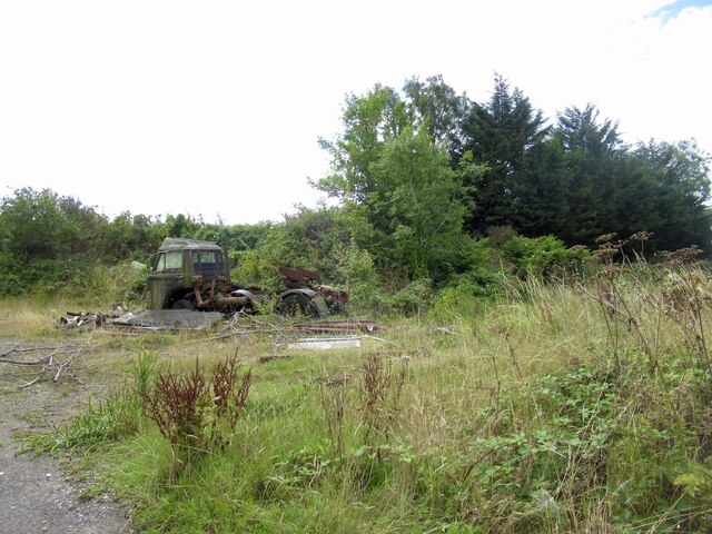
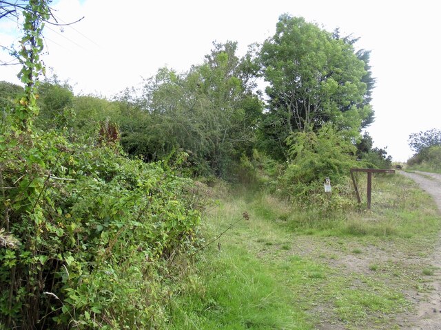
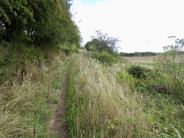
Wormit Images

Images are sourced within 2km of 56.424136/-2.9808691 or Grid Reference NO3926. Thanks to Geograph Open Source API. All images are credited.

River Tay from Tay Rail Bridge
River Tay from the Tay Rail Bridge, Wormit
Log stacks near Peacehill
Road, Kilburns Access road via Peacehill.
Road, Kilburns
Access road via Peacehill.
Path around Peacehill A diversion around the very large farmyard.
Path around Peacehill
A diversion around the very large farmyard.
Field, Wormit Den Arable land at Peacehill.
Field, Wormit Den
Arable land at Peacehill.
Old lorry above Wormit
Path over Wormit Hill Mapped as a road, it is actually an enjoyable path.
Path over Wormit Hill
Mapped as a road, it is actually an enjoyable path.
Path over Wormit Hill Mapped as a road, it is actually an enjoyable path.
Path over Wormit Hill
Mapped as a road, it is actually an enjoyable path.
Tay Bridge and Dundee View off Newton Hill.
Tay Bridge and Dundee
View off Newton Hill.
Farm reservoir Nearly empty during a dry spell. Probably a source of water for irrigating potato crops.
Farm reservoir
Nearly empty during a dry spell. Probably a source of water for irrigating potato crops.
Fields, Wormit
Fields, Wormit
From the Tay Bridge The view of the river, looking towards Dundee just before the train enters the central span of the bridge.
From the Tay Bridge
The view of the river, looking towards Dundee just before the train enters the central span of the bridge.
Houses on B946
Houses on B946
New houses, Wormit
New houses, Wormit
Waste ground, Wormit
Tay Bridge South Signalbox Signalboxes are used in Britain to control the safe movement of trains across the railway network. Most are located either just outside stations or at junctions.
Wikipedia: <span class="nowrap"><a title="http://en.wikipedia.org/wiki/Signalling_control" rel="nofollow ugc noopener" href="http://en.wikipedia.org/wiki/Signalling_control">Link</a><img style="margin-left:2px;" alt="External link" title="External link - shift click to open in new window" src="https://s1.geograph.org.uk/img/external.png" width="10" height="10"/></span>
Tay Bridge South Signalbox
Signalboxes are used in Britain to control the safe movement of trains across the railway network. Most are located either just outside stations or at junctions. Wikipedia: LinkExternal link
South shore of the Tay Estuary The River Tay is the longest river in Scotland and the seventh-longest in the United Kingdom. The Tay originates in western Scotland on the slopes of Ben Lui, then flows easterly across the Highlands, through Loch Dochart, Loch Iubhair and Loch Tay, then continues east through Strathtay, in the centre of Scotland, then southeasterly through Perth, where it becomes tidal, to its mouth at the Firth of Tay, south of Dundee. It is the largest river in the UK by measured discharge. Its catchment is approximately 2,000 square miles.
South shore of the Tay Estuary
The River Tay is the longest river in Scotland and the seventh-longest in the United Kingdom. The Tay originates in western Scotland on the slopes of Ben Lui, then flows easterly across the Highlands, through Loch Dochart, Loch Iubhair and Loch Tay, then continues east through Strathtay, in the centre of Scotland, then southeasterly through Perth, where it becomes tidal, to its mouth at the Firth of Tay, south of Dundee. It is the largest river in the UK by measured discharge. Its catchment is approximately 2,000 square miles.
Show me another place!

Wormit is located at Grid Ref: NO3926 (Lat: 56.424136, Lng: -2.9808691)

Unitary Authority: Fife

Police Authority: Fife

What 3 Words

///thus.winemaker.bike. Near Newport-on-Tay, Fife

Nearby Locations

Wormit Long Craig

Related Wikis

Wormit

Wormit is a village on the south shore of the Firth of Tay in north-east Fife, Scotland. It is located at the southern end of the Tay Rail Bridge and together...

Wormit railway station

Wormit railway station served the town of Wormit, Fife, Scotland from 1889 to 1969 on the Newport Railway. == History == The station opened on 1 May 1889...

Tay Bridge

The Tay Bridge (Scottish Gaelic: Drochaid-rèile na Tatha) carries rail traffic across the Firth of Tay in Scotland between Dundee and the suburb of Wormit...

Tay Bridge disaster

The Tay Bridge disaster occurred during a violent storm on Sunday 28 December 1879, when the first Tay Rail Bridge collapsed as a North British Railway...

Nearby Amenities

Located within 500m of 56.424136,-2.9808691
Wormit
Name Sco: Wirmit
Place: suburb
Source: NPE
Lat/Long: 56.4256079/-2.9768521
Turning Circle
Lat/Long: 56.4218091/-2.9843285
Turning Circle
Lat/Long: 56.4232765/-2.9835614
Post Office
Lat/Long: 56.4253743/-2.9774339
Turning Circle
Lat/Long: 56.4223017/-2.9862275
Restaurant
The View Restaurant
Addr Housenumber: 11-23
Addr Postcode: DD68NE
Addr Street: Naughton Road
Email: info@view-restaurant.co.uk
Phone: +441382542287
Website: https://www.view-restaurant.co.uk
Lat/Long: 56.4254478/-2.9772306
Lodge Tay Union No.273
Club: freemasonry
Lat/Long: 56.4242829/-2.9794384
Spar
Brand: Spar
Brand Wikidata: Q610492
Brand Wikipedia: en:Spar (retailer)
Shop: convenience
Lat/Long: 56.4243598/-2.9794443
Railway: switch
Lat/Long: 56.4204244/-2.9836123
Railway: switch
Lat/Long: 56.4229848/-2.9822818
Ele: 98
Natural: peak
Lat/Long: 56.4225402/-2.9744211
Historic: memorial
Memorial: war_memorial
Lat/Long: 56.4243991/-2.9796076
Telephone
Booth: KX100
Covered: booth
Lat/Long: 56.4254251/-2.9774583
Websters Hair Salon
Shop: hairdresser
Lat/Long: 56.4253371/-2.9775236
Bus Stop
Bench: yes
Shelter: yes
Lat/Long: 56.4253237/-2.9779488
Bench
Backrest: yes
Lat/Long: 56.4251521/-2.9780687
Bus Stop
Bench: yes
Naptan AtcoCode: 6500N0056
Naptan NaptanCode: 34343856
Shelter: yes
Lat/Long: 56.4243396/-2.9803334
Post Box
Collection Times: Mo-Fr 09:00; Sa 07:00
Operator: Royal Mail
Post Box Type: wall
Ref: DD6 262D
Royal Cypher: scottish_crown
Lat/Long: 56.4231493/-2.9803184
Post Box
Collection Times: Mo-Fr 17:00; Sa 11:30
Operator: Royal Mail
Post Box Type: pillar
Ref: DD6 233
Royal Cypher: GVIR
Royal Cypher Wikidata: Q33102169
Lat/Long: 56.4254263/-2.9774753
Bus Stop
Bench: no
Naptan AtcoCode: 6500N0057
Naptan NaptanCode: 34343857
Shelter: no
Lat/Long: 56.4246216/-2.9789525
Stanford Motors
Service: repair
Shop: car_repair
Lat/Long: 56.4257267/-2.9766914
Bus Stop
Bench: no
Shelter: no
Lat/Long: 56.4265187/-2.9752725
Bus Stop
Bench: no
Naptan AtcoCode: 6500N0059
Naptan NaptanCode: 34343864
Shelter: no
Lat/Long: 56.4266782/-2.9748018
Bus Stop
Shelter: no
Lat/Long: 56.4215112/-2.9817816
Bus Stop
Bench: no
Shelter: no
Lat/Long: 56.4218988/-2.9818493
Post Box
Collection Times: Mo-Fr 09:00; Sa 07:00
Operator: Royal Mail
Post Box Type: wall
Ref: DD6 79D
Royal Cypher: VR
Royal Cypher Wikidata: Q33102356
Lat/Long: 56.4234442/-2.9849486
Railway: switch
Lat/Long: 56.4232994/-2.982082
Railway: switch
Lat/Long: 56.4233505/-2.9819954
Railway: switch
Lat/Long: 56.4239039/-2.9817928
Power: pole
Lat/Long: 56.4204213/-2.9845648
Power: pole
Lat/Long: 56.4211243/-2.9843627
Power: pole
Lat/Long: 56.4209437/-2.9828052
Power: pole
Lat/Long: 56.4207439/-2.9810581
Power: pole
Lat/Long: 56.4204556/-2.9800157
Power: pole
Lat/Long: 56.4201438/-2.978842
Power: pole
Lat/Long: 56.42013/-2.9778758
Generator Method: photovoltaic
Generator Output Electricity: yes
Generator Source: solar
Generator Type: solar_photovoltaic_panel
Power: generator
Lat/Long: 56.4243802/-2.9762902
Generator Method: photovoltaic
Generator Output Electricity: yes
Generator Source: solar
Generator Type: solar_photovoltaic_panel
Power: generator
Lat/Long: 56.4244576/-2.9760941
Wormit Junction
Historic Railway: junction
Railway: site
Lat/Long: 56.4255672/-2.9815651
Wormit
Historic Railway: station
Railway: site
Wikidata: Q54869862
Wikipedia: en:Wormit railway station
Lat/Long: 56.4249173/-2.9804921
Traffic Calming: cushion
Lat/Long: 56.4199295/-2.9809493
Power: pole
Lat/Long: 56.421942/-2.9801391
Power: pole
Lat/Long: 56.4223502/-2.9801145
Power: pole
Lat/Long: 56.4226405/-2.9800828
Power: pole
Lat/Long: 56.422827/-2.9797552
Power: pole
Lat/Long: 56.4230736/-2.9795487
Power: pole
Lat/Long: 56.4233423/-2.9789223
Power: pole
Lat/Long: 56.4236149/-2.9781683
Power: pole
Lat/Long: 56.4238497/-2.9775179
Power: pole
Lat/Long: 56.4241899/-2.9761925
Power: pole
Lat/Long: 56.4243231/-2.9757045
Power: pole
Lat/Long: 56.4244002/-2.9754196
Power: pole
Lat/Long: 56.4247024/-2.9747625
Power: pole
Lat/Long: 56.4210369/-2.9836092
Traffic Calming: cushion
Lat/Long: 56.4200572/-2.9810337
Generator Method: photovoltaic
Generator Output Electricity: yes
Generator Source: solar
Generator Type: solar_photovoltaic_panel
Power: generator
Lat/Long: 56.4230129/-2.9806454
The data included in this document is from www.openstreetmap.org. The data is made available under ODbL.

Have you been to Wormit?

Leave your review of Wormit below (or comments, questions and feedback).