Wootton Bassett
Settlement in Wiltshire
England
Wootton Bassett
Wootton Bassett is a small market town located in the county of Wiltshire, England. It is situated approximately 6 miles west of Swindon, and lies close to the border with Gloucestershire. The town has a population of around 11,000 people.
Historically, Wootton Bassett was an important market town due to its strategic location on the old London to Bristol road. The town grew in prominence during the 17th and 18th centuries, with a market being held every Wednesday. Today, the market tradition continues, attracting locals and visitors alike.
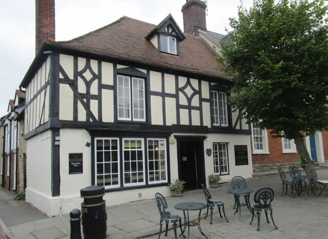
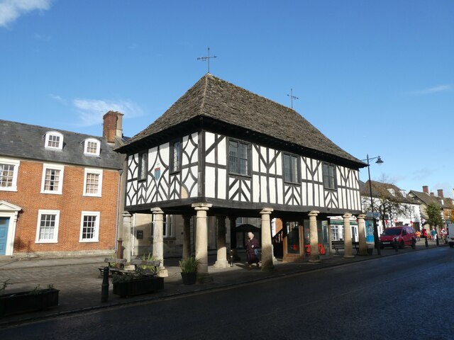
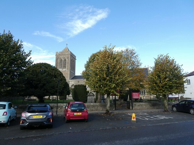
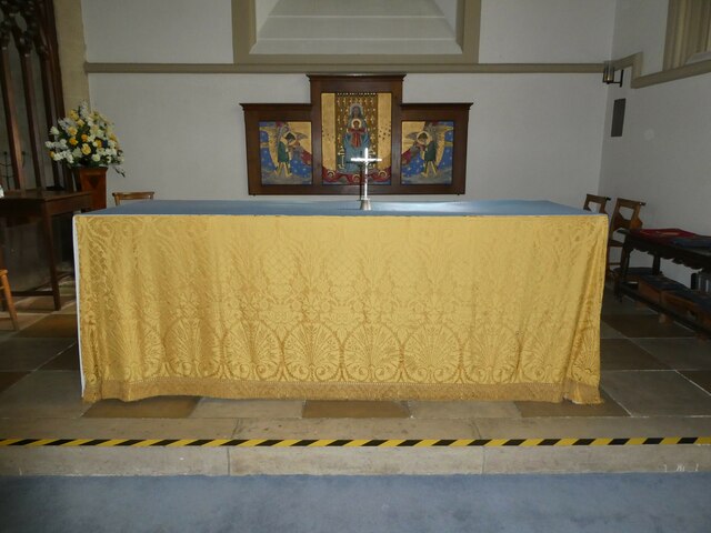
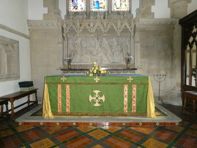
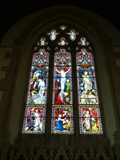
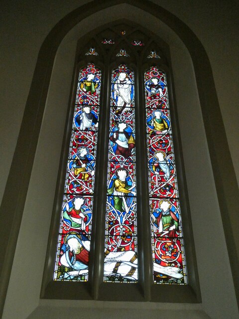
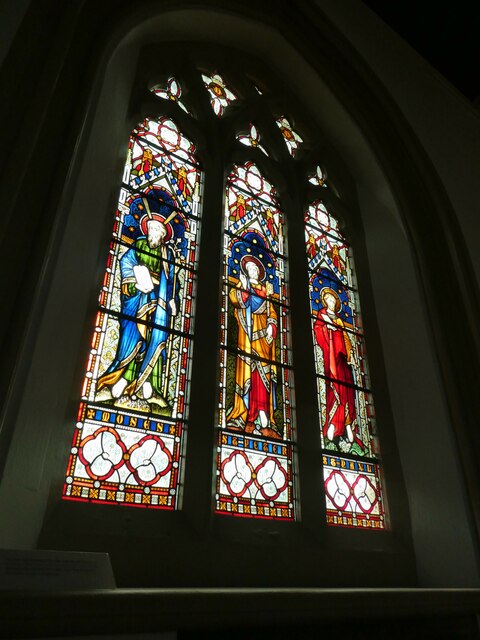
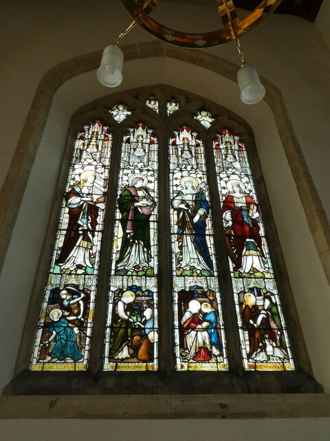
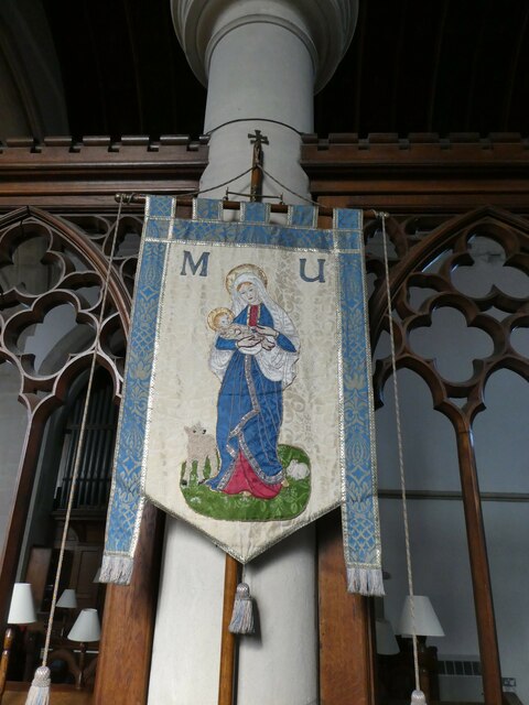
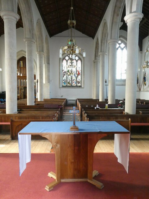
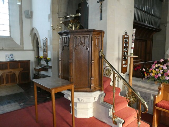
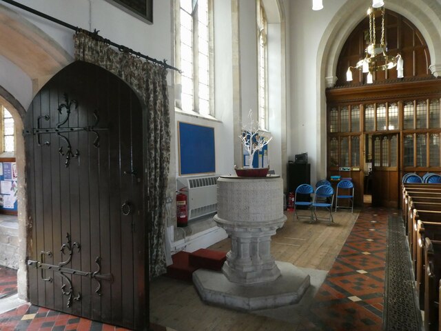
One of the town's notable features is its charming High Street, lined with historic buildings, independent shops, and traditional pubs. The town is also home to St. Bartholomew's Church, a Grade I listed building dating back to the 13th century. It serves as a focal point for the community and has a beautiful interior with intricate stained glass windows.
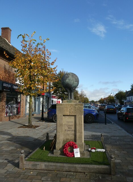
Wootton Bassett gained national recognition for its role in honoring fallen British soldiers. From 2007 to 2011, the town became known for its moving tributes during military repatriation processions. Thousands of people lined the streets to pay their respects to the soldiers as their hearses passed through the town. This tradition ended in 2011 when the repatriations were moved to RAF Brize Norton.
Overall, Wootton Bassett is a picturesque market town with a rich history and a close-knit community. Its location, historic charm, and the legacy of its military tributes make it a popular destination for visitors seeking a taste of traditional English life.
If you have any feedback on the listing, please let us know in the comments section below.
Wootton Bassett Images
Images are sourced within 2km of 51.536872/-1.9148866 or Grid Reference SU0682. Thanks to Geograph Open Source API. All images are credited.
Wootton Bassett is located at Grid Ref: SU0682 (Lat: 51.536872, Lng: -1.9148866)
Unitary Authority: Wiltshire
Police Authority: Wiltshire
What 3 Words
///outs.that.custard. Near Royal Wootton Bassett, Wiltshire
Nearby Locations
Related Wikis

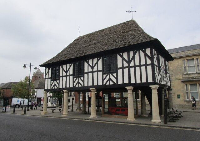
Wootton Bassett Museum
Wootton Bassett Museum is a local museum in the market town of Royal Wootton Bassett, Wiltshire, England. It is housed in the town hall which is a Grade...

Aldbourne Heritage Centre
Aldbourne Heritage Centre is a local museum in North-East Wiltshire, England, next to The Crown Inn in the centre of Aldbourne. == History == It opened...

Wootton Bassett Road railway station
Wootton Bassett Road railway station was opened on 17 December 1840 as Hay Lane as the temporary terminus of the Great Western Railway (GWR) when it was...

Wootton Bassett Junction railway station
Wootton Bassett Junction railway station, formerly Wootton Bassett railway station, was a junction station in Wootton Bassett where the Great Western and...

Royal Wootton Bassett
Royal Wootton Bassett , formerly Wootton Bassett, is a market town and civil parish in Wiltshire, England, with a population of 13,570 at the 2021 Census...
Royal Wootton Bassett Academy
Royal Wootton Bassett Academy (RWBA) (formerly Wootton Bassett School) is a mixed secondary school and sixth form in the town of Royal Wootton Bassett...
Royal Wootton Bassett Town F.C.
Royal Wootton Bassett Town Football Club are an English football club based in the town of Royal Wootton Bassett in Wiltshire. The club has two senior...

Wootton Bassett Mud Spring
Wootton Bassett Mud Spring (grid reference SU078815) is an 8,000-square-metre (9,600 sq yd) geological Site of Special Scientific Interest in Wiltshire...
Nearby Amenities
Located within 500m of 51.536872,-1.9148866Have you been to Wootton Bassett?
Leave your review of Wootton Bassett below (or comments, questions and feedback).