Woods
Settlement in Herefordshire
England
Woods
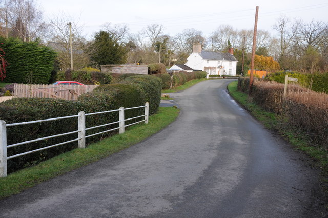
Woods is a small village located in the county of Herefordshire, in the West Midlands region of England. Situated approximately 6 miles north-east of the town of Hereford, the village is nestled amidst picturesque countryside and is known for its tranquil ambiance and natural beauty.
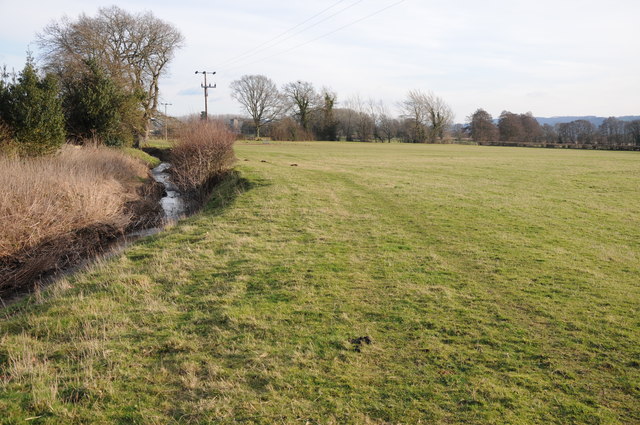
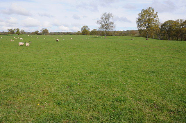
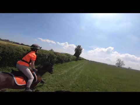
The village of Woods is characterized by its charming rural setting, with rolling hills and verdant meadows surrounding the area. It is home to a close-knit community of around 500 residents, who enjoy the peacefulness and idyllic lifestyle that the village offers.
Despite its small size, Woods boasts a number of amenities and facilities to cater to the needs of its residents. These include a village hall, a local pub, and a small convenience store, providing essential goods to the community. Additionally, the village is well-served by public transportation, with regular bus services connecting Woods to nearby towns and villages.
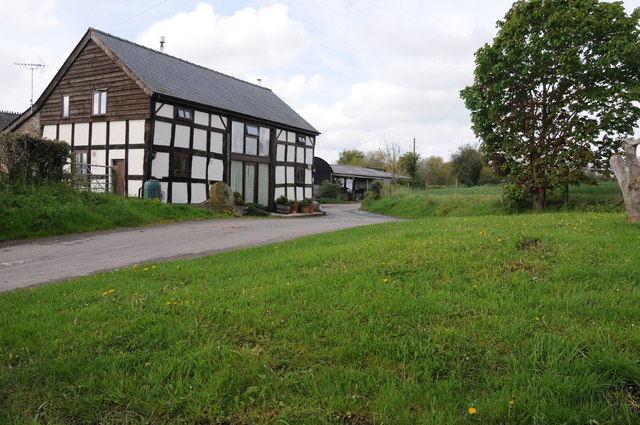
Woods is also renowned for its rich history, with several historic landmarks and buildings that date back centuries. St. Mary's Church, a Grade II listed building, stands as a prominent feature in the village and serves as a reminder of the area's cultural heritage.
For outdoor enthusiasts, Woods offers ample opportunities for exploring the surrounding countryside. The village is surrounded by scenic walking and cycling trails, allowing residents and visitors to immerse themselves in the beauty of Herefordshire's countryside.
Overall, Woods is a charming village with a strong sense of community, providing a peaceful and picturesque setting for its residents to enjoy.
If you have any feedback on the listing, please let us know in the comments section below.
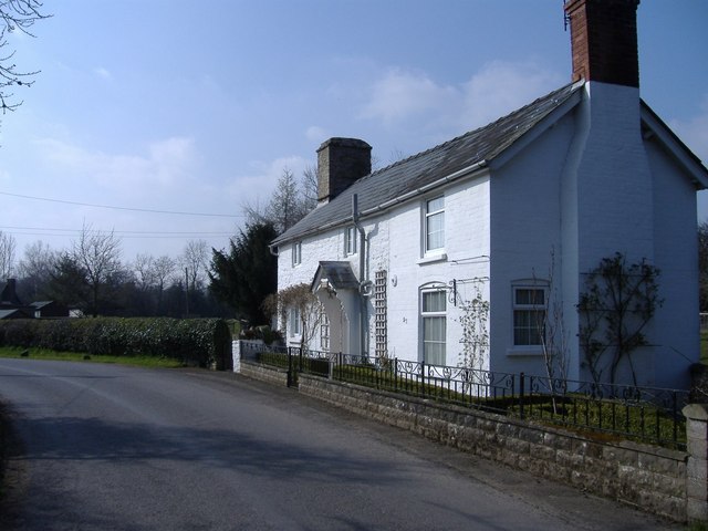
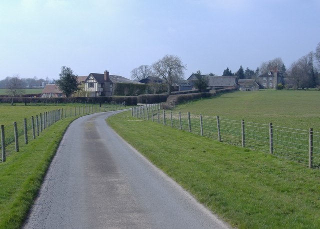
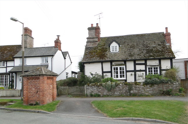
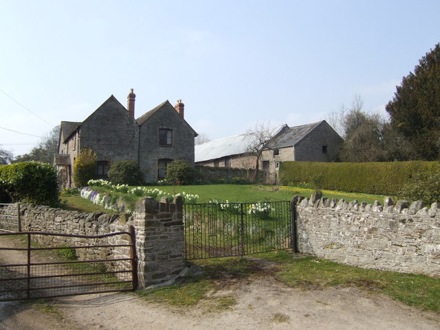
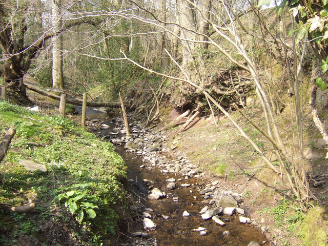
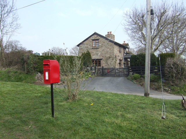
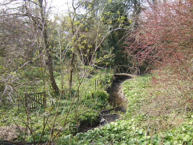
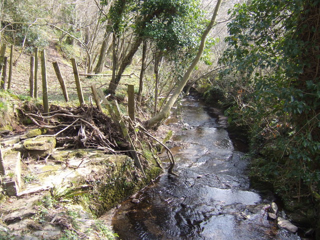
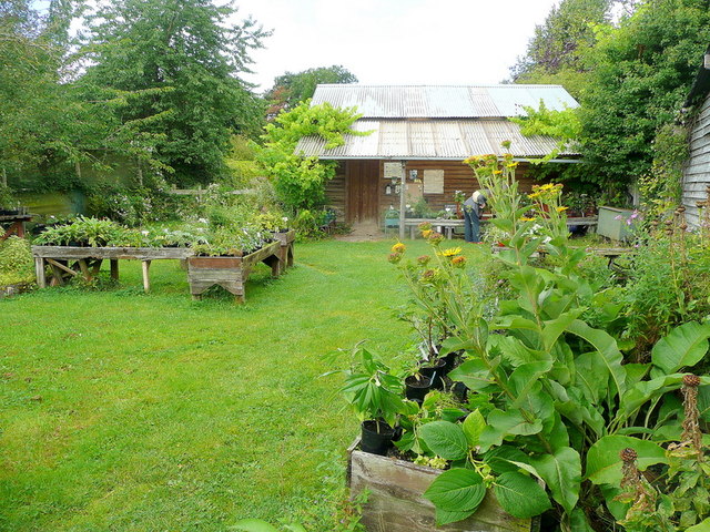
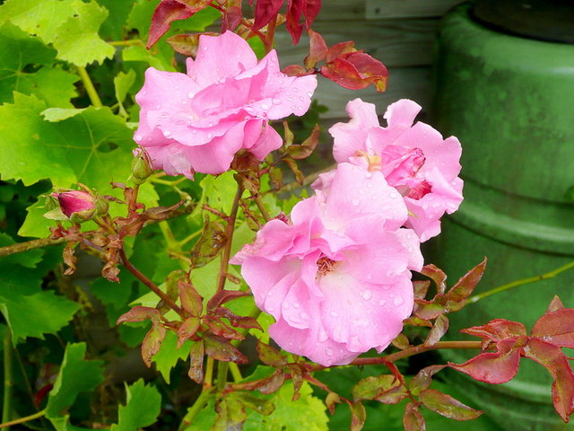
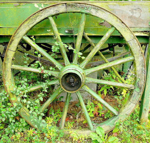
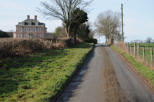
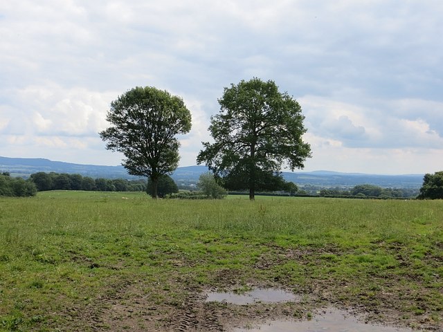
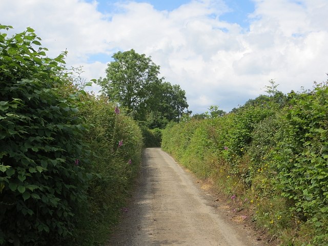
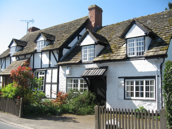
Woods Images
Images are sourced within 2km of 52.134719/-3.0387392 or Grid Reference SO2949. Thanks to Geograph Open Source API. All images are credited.
Woods is located at Grid Ref: SO2949 (Lat: 52.134719, Lng: -3.0387392)
Unitary Authority: County of Herefordshire
Police Authority: West Mercia
What 3 Words
///searcher.narrate.hears. Near Clifford, Herefordshire
Nearby Locations
Related Wikis

Eardisley Park
Eardisley Park is a country house and estate to the southwest of the village of Eardisley in Herefordshire, England, and approximately 14 miles (23 km...

Eardisley Castle
Eardisley Castle was in the village of Eardisley in Herefordshire, England, 11 km north-east of Hay-on-Wye (grid reference SO311491). The site of the castle...
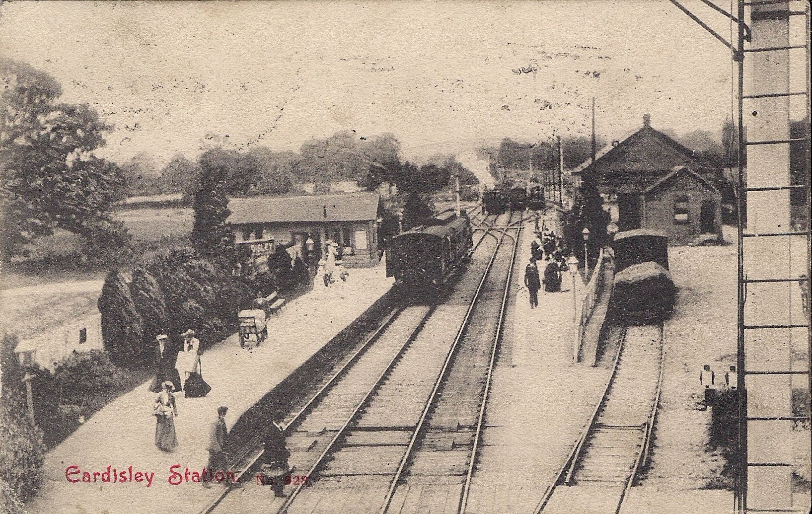
Eardisley railway station
Eardisley railway station was a station in Eardisley, Herefordshire, England. The station was opened on 30 June 1863, closed to passengers on 31 December...
Eardisley
Eardisley () is a village and civil parish in Herefordshire about 5 miles (8.0 km) south of the centre of Kington. Eardisley is in the Wye valley in the...

Willersley and Winforton
Willersley and Winforton is a civil parish in west Herefordshire, England, and is approximately 14 miles (20 km) west-northwest from the city and county...

Whitney-on-Wye
Whitney-on-Wye is a village and civil parish in Herefordshire, England, and approximately 1 mile (1.6 km) east from the border with Wales. The village...
Brilley
Brilley is a small village and civil parish in Herefordshire, England, close to the border with Wales, and about 8 km (5 mi) north-east of the Welsh border...
Whitney-on-Wye railway station
Whitney-on-Wye railway station was a station in Whitney-on-Wye, Herefordshire, England. The station was opened in 1864 and closed in 1962. == References... ==
Related Videos

Eardisley Village Walk : Black & White Trail in Herefordshire
eardisley #herefordshire #villagewalk #blackandwhitetrail Welcome to another episode on 'Walking with Pics'! Today, we're ...

Shropshire & Herefordshire, part 3: Eardisley, Small Breeds Farm Park & Owl Centre, Hopton Castle
A few days touring Shropshire & Herefordshire This third episode visits Eardisley, the Small Breeds Farm Park and Owl Centre ...
Beautiful Herefordshire FunRide
10.6 miles in stunning Herefordshire countryside. Beautiful weather,.. not too hot... you can hear the wind. Ride was held by the ...
Nearby Amenities
Located within 500m of 52.134719,-3.0387392Have you been to Woods?
Leave your review of Woods below (or comments, questions and feedback).