Woodington

Settlement in Hampshire Test Valley

England

Woodington

Ford and footbridge in Foxes Lane River Blackwater just above the 2 feet mark on the depth gauge.
Ford and footbridge in Foxes Lane Credit: David Martin

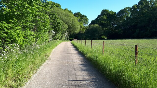
Woodington is a picturesque village located in the county of Hampshire, England. Nestled in the heart of the South Downs National Park, it offers residents and visitors a charming rural setting with stunning views of the surrounding countryside. The village is situated about 10 miles east of Winchester and 15 miles west of Petersfield, making it easily accessible for those looking to explore the area.

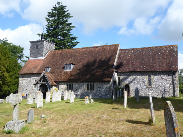
The history of Woodington dates back centuries, with evidence of human habitation in the area since Neolithic times. The village itself has a rich architectural heritage, with many of its buildings dating back to the 17th and 18th centuries. The local church, St. Mary's, is particularly notable, featuring a beautiful Norman tower and intricate stained glass windows.

Despite its small size, Woodington boasts a strong sense of community. The village has a primary school, a village hall, and a local pub, The Woodington Arms, which serves as a popular gathering spot for both residents and visitors. The surrounding countryside offers ample opportunities for outdoor activities, including hiking, cycling, and horse riding.

Woodington is also conveniently located near several attractions and amenities. The nearby market town of Alton offers a range of shops, restaurants, and leisure facilities, while the historic cities of Winchester and Southampton are within easy reach for those seeking additional cultural and entertainment options.

In summary, Woodington is a quintessential English village, known for its natural beauty, historic charm, and close-knit community. It offers a peaceful and idyllic setting for those looking to escape the hustle and bustle of city life.

If you have any feedback on the listing, please let us know in the comments section below.
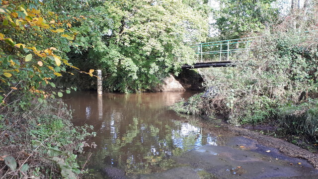
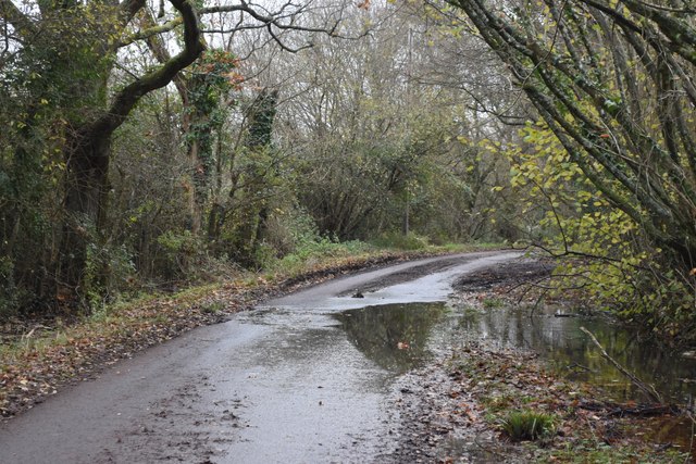
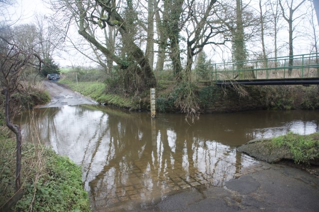
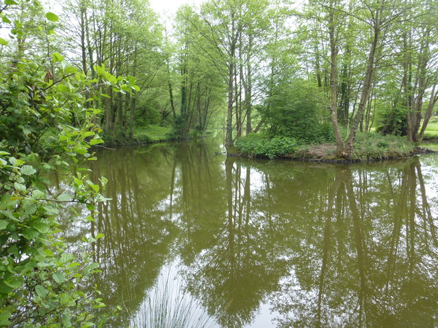
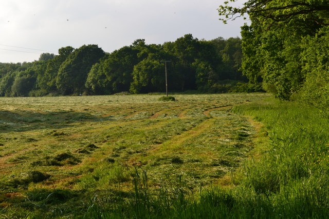
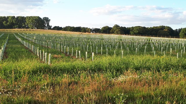
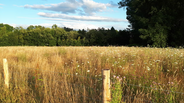
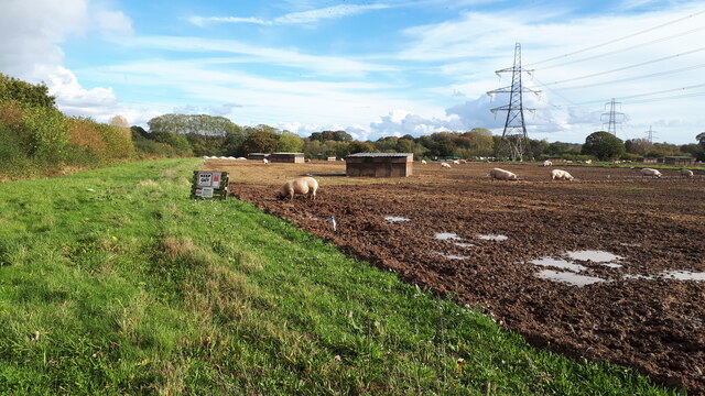
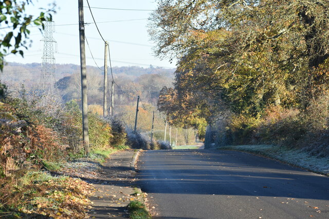
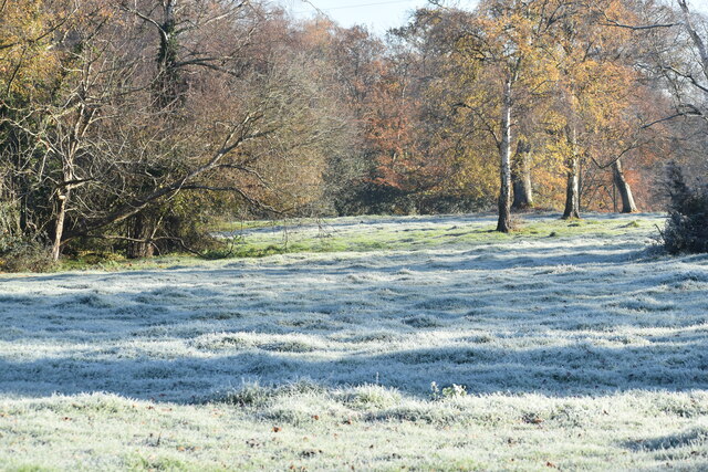
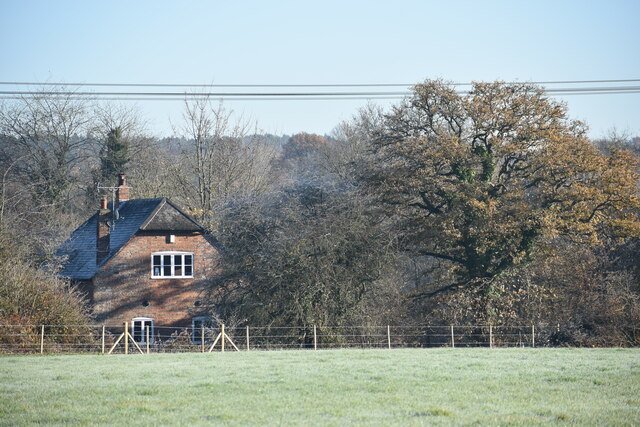
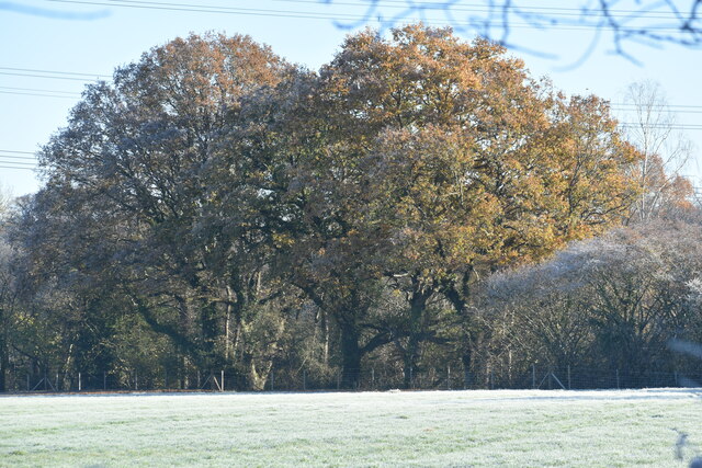
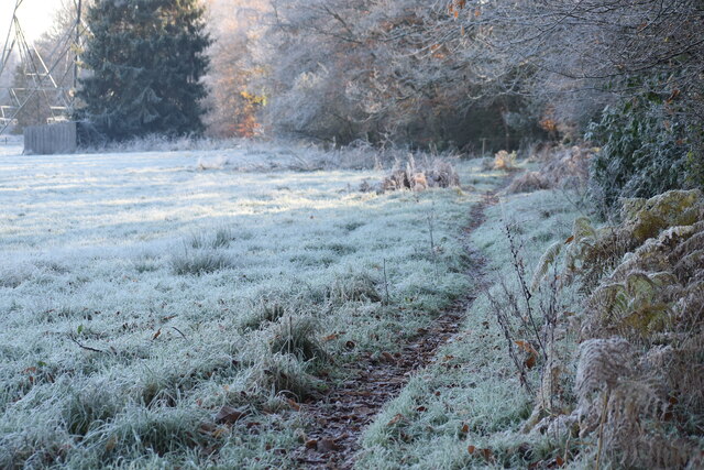
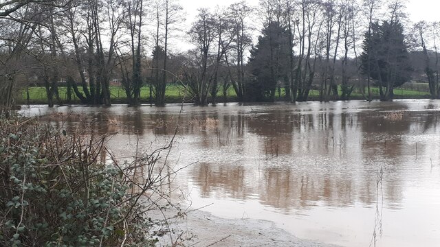
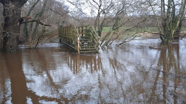
Woodington Images

Images are sourced within 2km of 50.985621/-1.5573278 or Grid Reference SU3120. Thanks to Geograph Open Source API. All images are credited.

Ford and footbridge in Foxes Lane River Blackwater just above the 2 feet mark on the depth gauge.
Ford and footbridge in Foxes Lane
River Blackwater just above the 2 feet mark on the depth gauge.
Overflowing ditch in Wellow Drove
West Wellow Ford This ford on the River Blackwater is found on Foxes Lane near West Wellow. A video of the ford can be seen at:
<span class="nowrap"><a title="https://youtu.be/wYqMU-7Vmbs" rel="nofollow ugc noopener" href="https://youtu.be/wYqMU-7Vmbs">Link</a><img style="margin-left:2px;" alt="External link" title="External link - shift click to open in new window" src="https://s1.geograph.org.uk/img/external.png" width="10" height="10"/></span>
West Wellow Ford
This ford on the River Blackwater is found on Foxes Lane near West Wellow. A video of the ford can be seen at: LinkExternal link
Pond near Sherfield English One of a number if small ponds in this area.
Pond near Sherfield English
One of a number if small ponds in this area.
Freshly mown field at Wellow Wood
New planting between Foxes Lane and Wellow Church Hard to tell what is in the protective tubes as yet: possibly vines? Seen through a new deer fence.
New planting between Foxes Lane and Wellow Church
Hard to tell what is in the protective tubes as yet: possibly vines? Seen through a new deer fence.
Field view from newly-fenced footpath Previously a footpath across an open field, this has recently been fenced in.  For the other side of the path, see <a href="https://www.geograph.org.uk/photo/6542801">SU2920 : New planting between Foxes Lane and Wellow Church</a>.
Field view from newly-fenced footpath
Previously a footpath across an open field, this has recently been fenced in. For the other side of the path, see SU2920 : New planting between Foxes Lane and Wellow Church.
Tree and frosty field
Pigs in field beside Hackleys Lane
Winter morning sunlight, Whinwhistle Road
Frosty field beside Whinwhistle Road
Wellow Mill, seen across field Former water mill now converted to residential use - there is no public access to the riverside.
Wellow Mill, seen across field
Former water mill now converted to residential use - there is no public access to the riverside.
Trees seen across frosty field near Fir Hill Farm
Frost on footpath near Cooper's Clump
East Wellow, St Margaret
Floodwater beside Woodington Lane The main River Blackwater channel runs just in front of the line of trees.
Floodwater beside Woodington Lane
The main River Blackwater channel runs just in front of the line of trees.
Footbridge cut off by floodwater The River Blackwater is here well out of its usual channel and the lower three steps of the bridge are under water.
Footbridge cut off by floodwater
The River Blackwater is here well out of its usual channel and the lower three steps of the bridge are under water.
Access track near Fir Hill The footpath runs along this private track which provides access to a few properties and the West Wellow Wastewater Treatment Works.
Access track near Fir Hill
The footpath runs along this private track which provides access to a few properties and the West Wellow Wastewater Treatment Works.
Show me another place!

Woodington is located at Grid Ref: SU3120 (Lat: 50.985621, Lng: -1.5573278)

Administrative County: Hampshire

District: Test Valley

Police Authority: Hampshire

What 3 Words

///torches.after.depths. Near West Wellow, Hampshire

Related Wikis

Embley, Hampshire

Embley is a small village in the Test Valley district of Hampshire, England in the United Kingdom. Its nearest town is Romsey, which lies approximately...

Embley (school)

Embley School (formerly Hampshire Collegiate School) is an independent day and boarding school for both girls and boys aged 2 to 18 located in Embley Park...

Embley Park

Embley Park, in Wellow (near Romsey, Hampshire), was the family home of Florence Nightingale from 1825 until her death in 1910. It is also where Florence...

Shootash

Shootash was, before WWI, originally an area consisting of a few farmsteads, woodland and common land which subsequently developed during the 20th century...

Wellow, Hampshire

Wellow is a village and civil parish in Hampshire, England that falls within the Test Valley district. The village lies just outside the New Forest, across...

Dunwood Camp

Dunwood Camp is the site of an Iron Age hillfort located in Hampshire. It occupies the summit of a sandy hill. It has a single Rampart (fortification)...

Sherfield English

Sherfield English is a small village and civil parish in the Test Valley borough of Hampshire, England. It is located on the A27 road, around 4 miles...

Roke Manor Research

Roke Manor Research Limited is a British company based at Roke Manor near Romsey, Hampshire, which conducts research and development in the fields of communications...

Nearby Amenities

Located within 500m of 50.985621,-1.5573278
Post Box
Collection Plate: CP7
Collection Times: Mo-Fr 16:00; Sa 07:15
Description: This postbox is on the northbound side of Woodington Road set back in the bushes immediately south of the NW-bound track and public footpath.
Operator: Royal Mail
Post Box Type: lamp
Ref: SO51 510
Royal Cypher: EIIR
Royal Cypher Wikidata: Q33102113
Lat/Long: 50.9842477/-1.5584938
Power: pole
Source: bing
Lat/Long: 50.9877494/-1.5518323
Power: pole
Source: bing
Lat/Long: 50.9877621/-1.5528448
Power: pole
Source: bing
Lat/Long: 50.9878752/-1.5543951
Power: pole
Source: bing
Lat/Long: 50.9879528/-1.5553486
Power: pole
Source: bing
Lat/Long: 50.987399/-1.5565637
Power: pole
Source: bing
Lat/Long: 50.9880339/-1.5564282
Power: pole
Source: bing
Lat/Long: 50.9868351/-1.5564846
Power: pole
Source: bing
Lat/Long: 50.9860533/-1.556443
Power: pole
Source: bing
Lat/Long: 50.9853611/-1.556392
Power: pole
Source: bing
Lat/Long: 50.9844873/-1.5563746
Power: pole
Source: bing
Lat/Long: 50.9837367/-1.5563464
Power: pole
Source: bing
Lat/Long: 50.9816032/-1.5563089
Power: pole
Source: bing
Lat/Long: 50.9828983/-1.5563263
Power: pole
Source: bing
Lat/Long: 50.9820743/-1.5562901
Power: pole
Source: bing
Lat/Long: 50.9817036/-1.5577479
Power: pole
Source: bing
Switch: yes
Lat/Long: 50.9822676/-1.5571618
Power: pole
Source: bing
Lat/Long: 50.9824458/-1.5579651
Power: pole
Source: bing
Lat/Long: 50.9825614/-1.5584546
Power: pole
Source: bing
Lat/Long: 50.9824407/-1.5594068
Power: pole
Source: bing
Lat/Long: 50.9823166/-1.5603845
Power: pole
Source: bing
Lat/Long: 50.9822001/-1.5613635
Woodington
Place: hamlet
Lat/Long: 50.9855306/-1.5579207
The data included in this document is from www.openstreetmap.org. The data is made available under ODbL.

Have you been to Woodington?

Leave your review of Woodington below (or comments, questions and feedback).