Embley Park
Downs, Moorland in Hampshire Test Valley
England
Embley Park
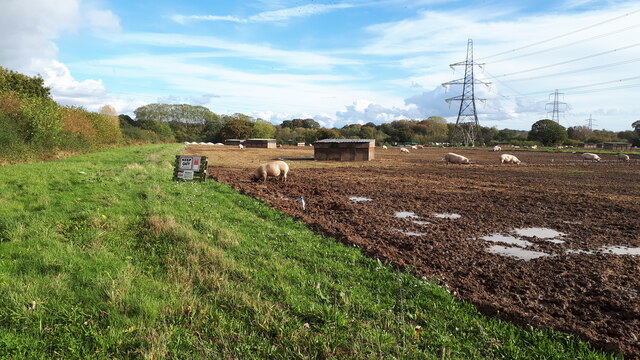
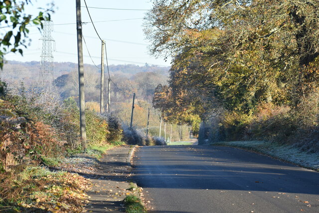
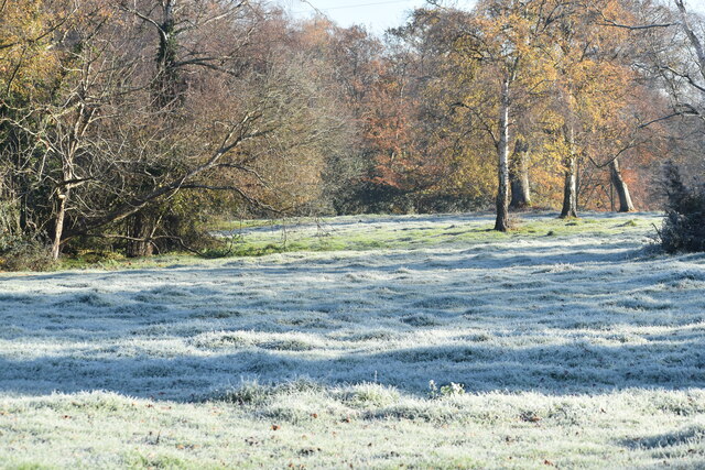
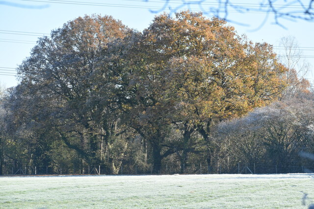
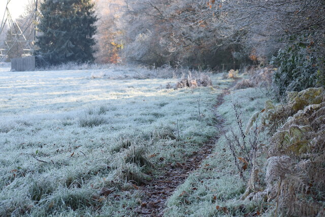
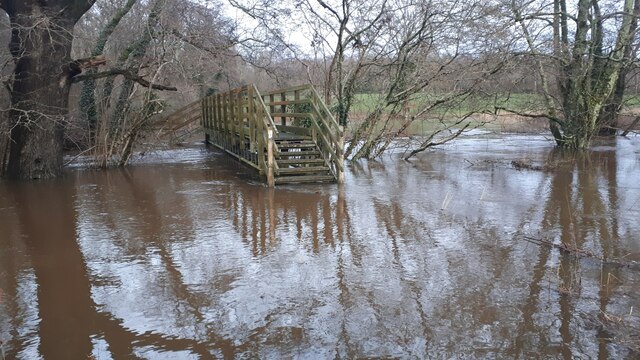
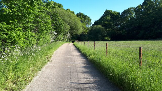
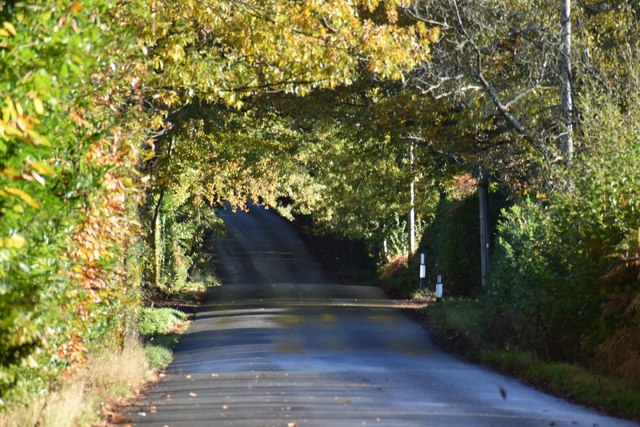
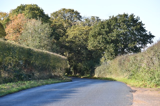
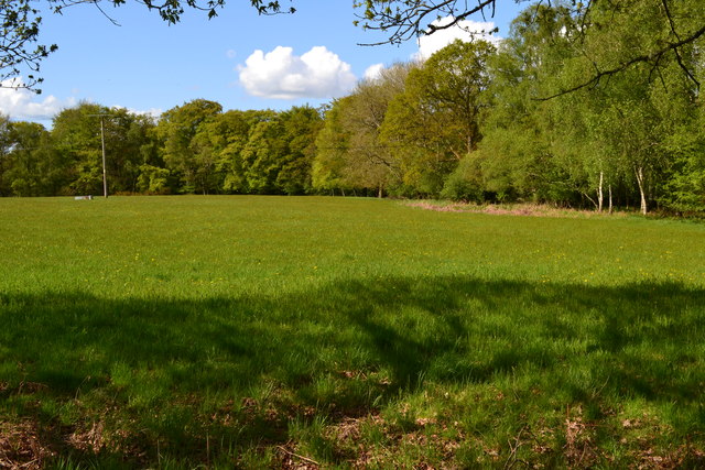
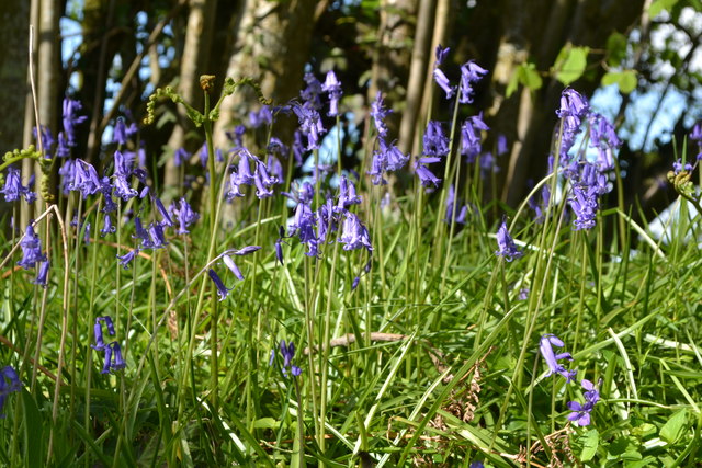
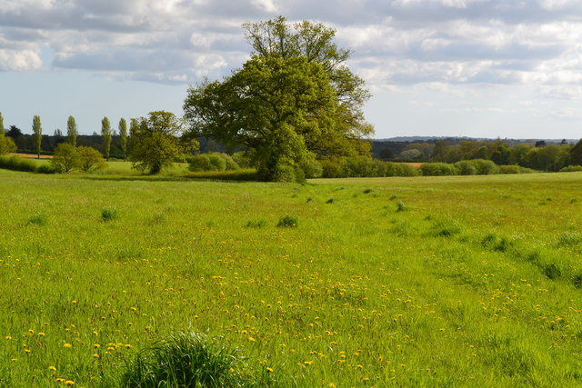
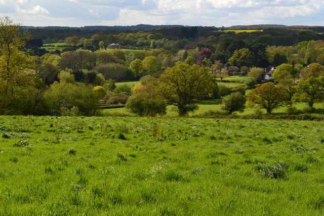
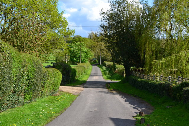
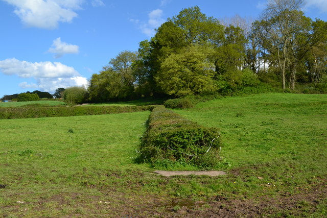
Embley Park is a historic estate located in Hampshire, England. Situated in the picturesque setting of the Hampshire Downs and Moorland, the park covers an expansive area of land, offering stunning views and a serene atmosphere. The park is known for its diverse landscape, which includes rolling hills, vast open fields, and pockets of dense woodland.
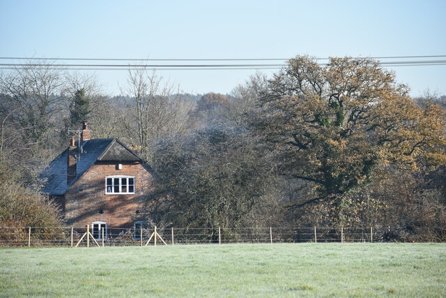
The history of Embley Park dates back to the 16th century when it was originally a hunting lodge. Over the centuries, it has evolved into a grand estate with a magnificent mansion at its heart. The mansion itself is a fine example of Victorian architecture, characterized by its elegant design and intricate detailing.
The park is not only renowned for its natural beauty but also for its rich historical significance. It was once the childhood home of Florence Nightingale, the pioneering nurse who made significant contributions to modern healthcare. Today, visitors can explore the Florence Nightingale Museum, which is housed within the estate, and learn about her life and achievements.
Embley Park offers a range of outdoor activities for visitors to enjoy. The extensive grounds provide ample space for walking, picnicking, and wildlife spotting. There are also well-maintained gardens with vibrant flower beds and neatly trimmed hedges, perfect for leisurely strolls.
Overall, Embley Park in Hampshire is a captivating destination that combines natural beauty, historical charm, and recreational opportunities. Whether one is interested in history, nature, or simply seeking a peaceful retreat, Embley Park is a place that offers something for everyone.
If you have any feedback on the listing, please let us know in the comments section below.
Embley Park Images
Images are sourced within 2km of 50.984726/-1.5467229 or Grid Reference SU3120. Thanks to Geograph Open Source API. All images are credited.
Embley Park is located at Grid Ref: SU3120 (Lat: 50.984726, Lng: -1.5467229)
Administrative County: Hampshire
District: Test Valley
Police Authority: Hampshire
What 3 Words
///typified.trample.gambles. Near West Wellow, Hampshire
Nearby Locations
Related Wikis

Embley (school)
Embley School (formerly Hampshire Collegiate School) is an independent day and boarding school for both girls and boys aged 2 to 18 located in Embley Park...

Embley Park
Embley Park, in Wellow (near Romsey, Hampshire), was the family home of Florence Nightingale from 1825 until her death in 1910. It is also where Florence...
Embley, Hampshire
Embley is a small village in the Test Valley district of Hampshire, England in the United Kingdom. Its nearest town is Romsey, which lies approximately...
Shootash
Shootash was, before WWI, originally an area consisting of a few farmsteads, woodland and common land which subsequently developed during the 20th century...

Wellow, Hampshire
Wellow is a village and civil parish in Hampshire, England that falls within the Test Valley district. The village lies just outside the New Forest, across...
Roke Manor Research
Roke Manor Research Limited is a British company based at Roke Manor near Romsey, Hampshire, which conducts research and development in the fields of communications...
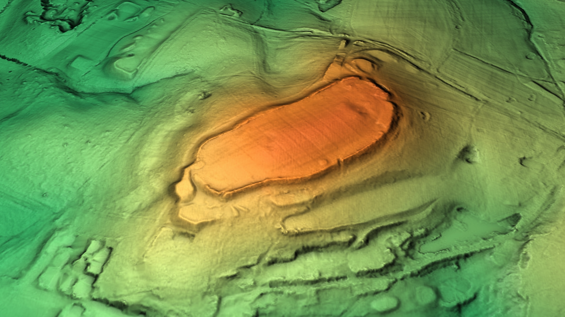
Dunwood Camp
Dunwood Camp is the site of an Iron Age hillfort located in Hampshire. It occupies the summit of a sandy hill. It has a single Rampart (fortification)...

Roke Manor
Roke Manor is a 17th-century manor house approximately 1.2 miles (2 km) north-west of Romsey in Hampshire, England. The house and 22-acre (8.9 ha) grounds...
Nearby Amenities
Located within 500m of 50.984726,-1.5467229Have you been to Embley Park?
Leave your review of Embley Park below (or comments, questions and feedback).