Woodend

Settlement in Cumberland Copeland

England

Woodend

Water Crag across Linbeck Gill
Water Crag across Linbeck Gill Credit: Stephen Dawson

Woodend is a small village located in the picturesque county of Cumberland, England. Situated in the northwestern part of the county, it is nestled in the breathtaking scenery of the Lake District National Park. With a population of around 500 residents, Woodend offers a peaceful and close-knit community atmosphere.

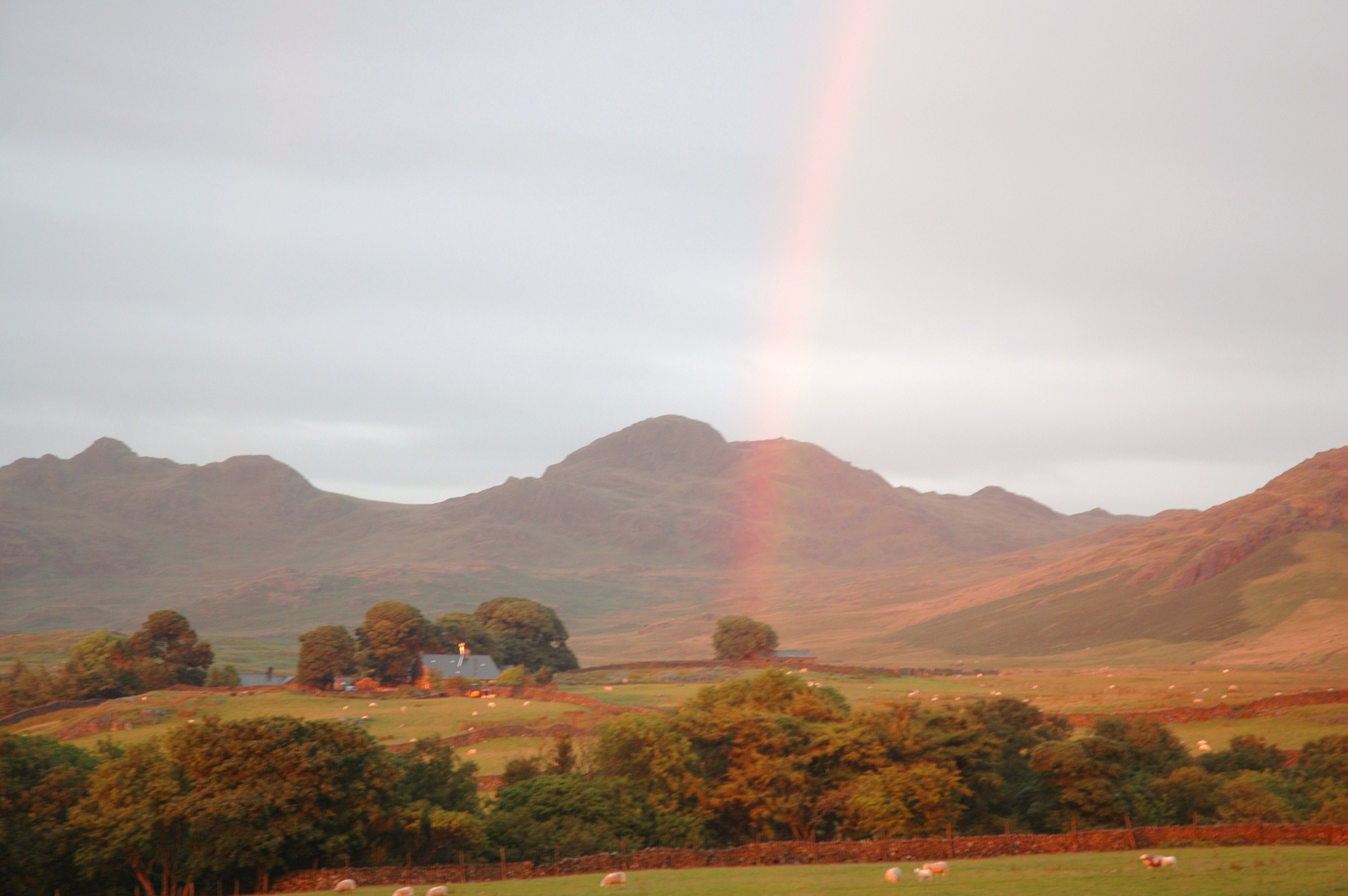
The village is surrounded by rolling hills, lush meadows, and dense woodlands, making it an ideal location for nature enthusiasts and outdoor adventurers. The area is renowned for its stunning landscapes, attracting visitors from far and wide who come to explore the numerous hiking trails, cycling routes, and fishing spots that dot the countryside.

Woodend itself is a quintessential English village, with charming stone cottages, a village green, and a historic church dating back several centuries. The village is proud of its rich heritage and hosts regular events and festivals to celebrate its history and local culture.

Despite its small size, Woodend boasts a range of amenities for its residents and visitors. These include a primary school, a village hall which serves as a hub for community gatherings, and a cozy pub where locals and visitors can enjoy a pint of traditional ale. The surrounding area also offers a variety of accommodation options, including guesthouses and holiday cottages for those looking to stay longer and experience the beauty of the region.

With its idyllic setting and welcoming community, Woodend, Cumberland is a hidden gem within the Lake District, offering an authentic rural experience amidst stunning natural beauty.

If you have any feedback on the listing, please let us know in the comments section below.
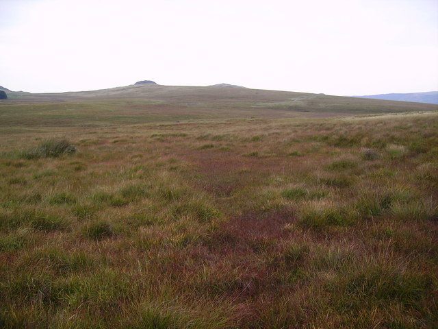
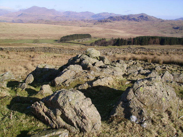
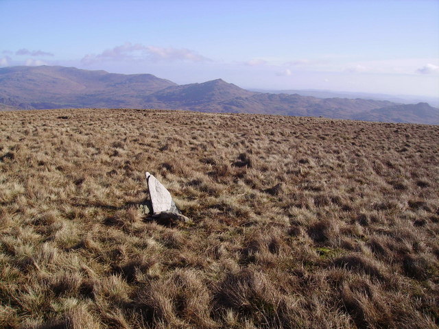
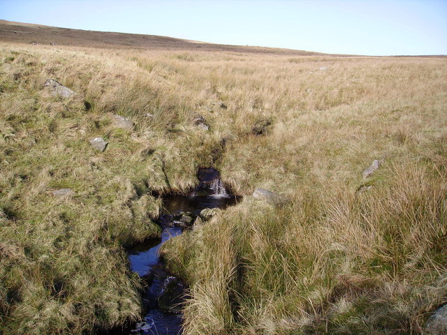
Woodend Images

Images are sourced within 2km of 54.355885/-3.280972 or Grid Reference SD1696. Thanks to Geograph Open Source API. All images are credited.

Water Crag across Linbeck Gill
Boathouse on Devoke Water.
NE tip of Devoke Water. Taken from the access road.
NE tip of Devoke Water.
Taken from the access road.
Water Crag. Looking SW from its neighbour Rough Crag.
Water Crag.
Looking SW from its neighbour Rough Crag.
High Ground Farm. Looking NW.
High Ground Farm.
Looking NW.
Signpost on the Ulpha to Eskdale Green road. Looking E at the turnoff for Devoke Water.  The lump directly behind the signpost is Seat How.
Signpost on the Ulpha to Eskdale Green road.
Looking E at the turnoff for Devoke Water. The lump directly behind the signpost is Seat How.
Stords Hill. Stords Hill, as seen from the boathouse on Devoke Water.
Stords Hill.
Stords Hill, as seen from the boathouse on Devoke Water.
Sike Moss Birker Fell Needless to say very wet. Looking towards the Scafells.
Sike Moss Birker Fell
Needless to say very wet. Looking towards the Scafells.
On Birker Fell Looking towards Seat How
On Birker Fell
Looking towards Seat How
Sike Moss The boggy vegetation starting to show a red tinge. Bog Myrtle widespread here.
Sike Moss
The boggy vegetation starting to show a red tinge. Bog Myrtle widespread here.
On Ulpha Fell The wall encloses the farmland around Woodend Farm.
On Ulpha Fell
The wall encloses the farmland around Woodend Farm.
Wall, Ulpha Fell On the ascent of the grassy Hesk Fell. Scafell on the skyline.
Wall, Ulpha Fell
On the ascent of the grassy Hesk Fell. Scafell on the skyline.
Cairn , Hesk Fell All is grass on Hesk Fell's summit dome.The Cairn consists of three stones carried up by someone. Anywhere in a 100 yard radius could be the top. Heaton Cooper states that Hesk Fell is from 'Hest Fell, Fell of the Ponies.' Caw on the skyline.
Cairn , Hesk Fell
All is grass on Hesk Fell's summit dome.The Cairn consists of three stones carried up by someone. Anywhere in a 100 yard radius could be the top. Heaton Cooper states that Hesk Fell is from 'Hest Fell, Fell of the Ponies.' Caw on the skyline.
Storthes Gill In the dip between Hesk Fell and Whitfell
Storthes Gill
In the dip between Hesk Fell and Whitfell
Summit Cairn, Yoadcastle Yoadcastle's top is craggy and a great viewpoint in all directions on the quiet fells above Devoke Water. Hesk Fell in mid shot.
Summit Cairn, Yoadcastle
Yoadcastle's top is craggy and a great viewpoint in all directions on the quiet fells above Devoke Water. Hesk Fell in mid shot.
Devoke Water The largest Tarn in the Lake District having a surface area of over Three Hundred Thousand square feet in old money.The deepest point is at about Forty Six Feet on the North side of the Tarn. According to Heaton Cooper in the Thirteenth Century it was named 'Dudockis Terne and also Fosse Terne.' The locals call it 'Duvvock Water'
Devoke Water
The largest Tarn in the Lake District having a surface area of over Three Hundred Thousand square feet in old money.The deepest point is at about Forty Six Feet on the North side of the Tarn. According to Heaton Cooper in the Thirteenth Century it was named 'Dudockis Terne and also Fosse Terne.' The locals call it 'Duvvock Water'
Waterfall, Linbeck Gill Linbeck Gill is the outflow from Devoke Water. Water Crag in shot.
Waterfall, Linbeck Gill
Linbeck Gill is the outflow from Devoke Water. Water Crag in shot.
Summit Cairn, Rough Crag The stones are Granite. Devoke Water lies at the Northern end of an intrusion of Granite in the surrounding Andesite. (Heaton Cooper).
Summit Cairn, Rough Crag
The stones are Granite. Devoke Water lies at the Northern end of an intrusion of Granite in the surrounding Andesite. (Heaton Cooper).
Show me another place!

Woodend is located at Grid Ref: SD1696 (Lat: 54.355885, Lng: -3.280972)

Administrative County: Cumbria

District: Copeland

Police Authority: Cumbria

What 3 Words

///famed.rational.winemaker. Near Seascale, Cumbria

Nearby Locations

Woodend Washfold Point

Related Wikis

Woodend, Ulpha

Woodend is situated between the Duddon Valley and the village of Ulpha and the valley of Eskdale, high up on Birker Fell, approximately 950 feet above...

Devoke Water

Devoke Water is a small lake in the south west of the Lake District in North West England. It is the largest tarn in the Lake District, a tarn being a...

Hesk Fell

Hesk Fell is a hill in the south-west of the English Lake District, between the Duddon Valley and Eskdale near Ulpha, Cumbria. It is the subject of a chapter...

Birkerthwaite

Birkerthwaite is a village on Birker Fell, Eskdale, Cumbria, England. == See also == List of places in Cumbria == External links == Media related to Birkerthwaite...

Nearby Amenities

Located within 500m of 54.355885,-3.280972
Woodend
Place: hamlet
Source: npe
Lat/Long: 54.3554482/-3.2827466
Rough how
Natural: peak
Lat/Long: 54.355585/-3.2757303
Kitt How
Place: locality
Lat/Long: 54.3536389/-3.2823916
The data included in this document is from www.openstreetmap.org. The data is made available under ODbL.

Have you been to Woodend?

Leave your review of Woodend below (or comments, questions and feedback).