Wood Lane

Settlement in Shropshire

England

Wood Lane

Kettle Mere near Ellesmere One of nine meres near the town of Ellesmere. According to Wikipedia, a mere is "a lake that is broad in relation to its depth".
Kettle Mere near Ellesmere Credit: Stephen Richards

Wood Lane is a charming village located in the county of Shropshire, England. Situated in the heart of the county, this peaceful settlement offers a picturesque countryside setting, attracting both locals and visitors alike.

With a population of around 500 residents, Wood Lane maintains a close-knit community atmosphere. The village is known for its idyllic surroundings, surrounded by rolling green hills, vast meadows, and dense woodlands. It provides an ideal retreat for those seeking a tranquil and serene escape from the bustle of city life.

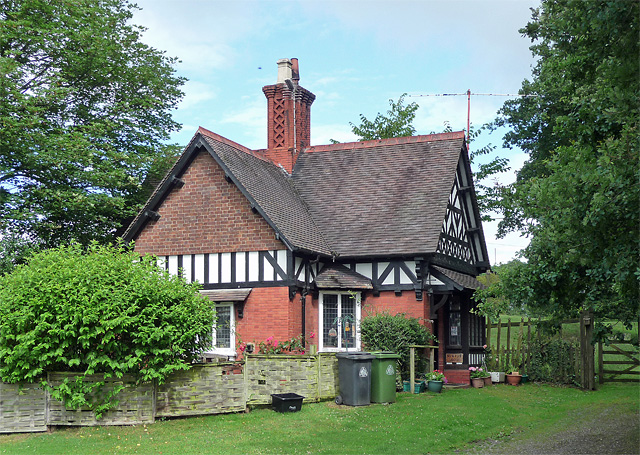
Wood Lane is home to several historic buildings that showcase the village's rich heritage. The St. Mary's Church, a stunning medieval structure, stands as a prominent landmark and holds regular services for the community. Additionally, the village boasts a handful of traditional cottages, some dating back centuries, which add to its nostalgic charm.

Residents of Wood Lane benefit from a range of amenities within close proximity. The village has a local village hall that hosts various community events throughout the year, fostering a sense of unity among its inhabitants. For everyday essentials, residents can access nearby shops and services in the neighboring towns of Shrewsbury and Ludlow.

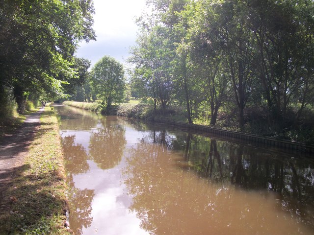
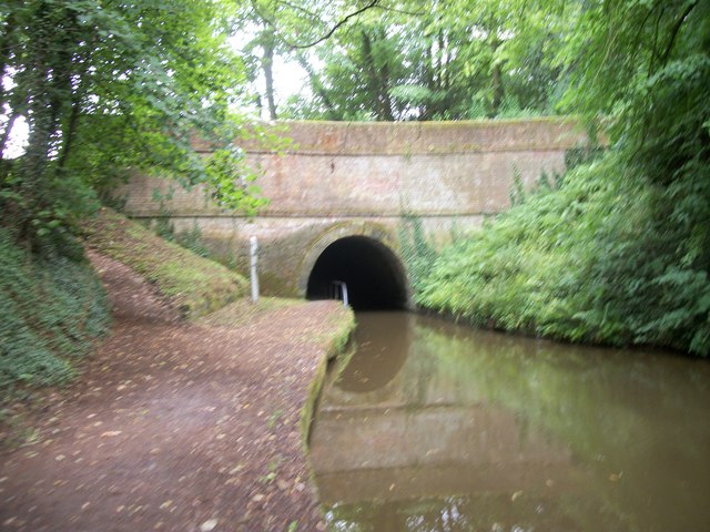
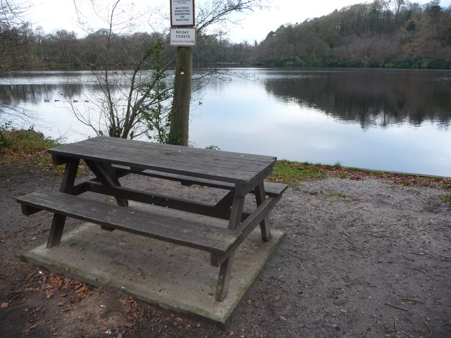
Nature enthusiasts will find themselves in paradise in Wood Lane. The village is surrounded by an array of walking trails and nature reserves, such as the Long Mynd and Carding Mill Valley, providing ample opportunities for outdoor activities, including hiking, cycling, and wildlife spotting.

Overall, Wood Lane offers a quintessential English village experience, where natural beauty, historical charm, and a strong sense of community converge to create an enchanting rural haven.

If you have any feedback on the listing, please let us know in the comments section below.
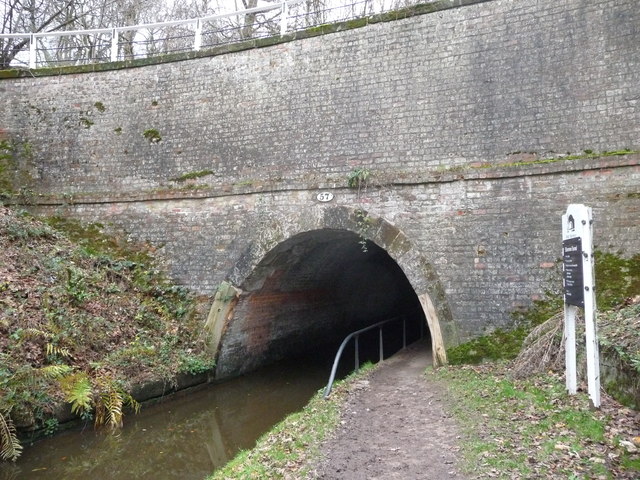
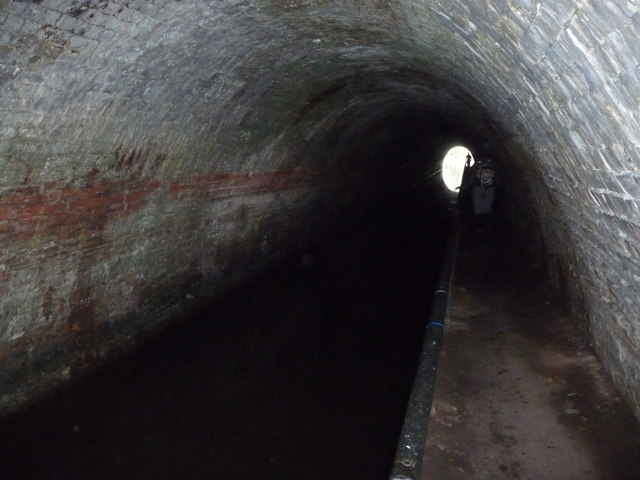
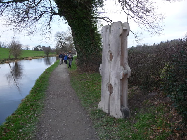
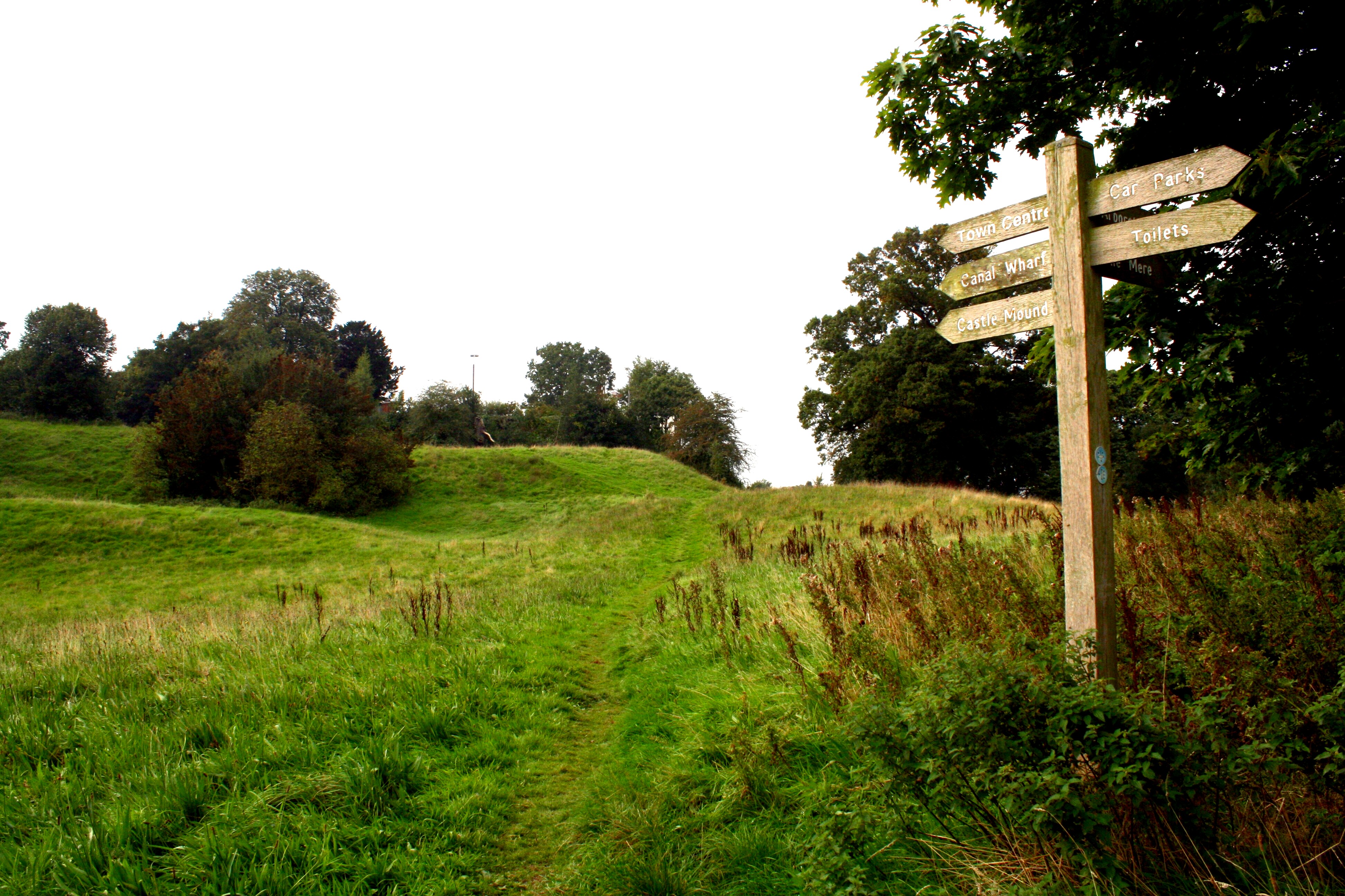
Wood Lane Images

Images are sourced within 2km of 52.888946/-2.864236 or Grid Reference SJ4132. Thanks to Geograph Open Source API. All images are credited.

Kettle Mere near Ellesmere One of nine meres near the town of Ellesmere. According to Wikipedia, a mere is "a lake that is broad in relation to its depth".
Kettle Mere near Ellesmere
One of nine meres near the town of Ellesmere. According to Wikipedia, a mere is "a lake that is broad in relation to its depth".
Lodge near Welshampton Half-timbered lodge formerly serving Oteley Park which was pulled down in 1960.
Lodge near Welshampton
Half-timbered lodge formerly serving Oteley Park which was pulled down in 1960.
The Ellesmere Canal
The Ellesmere Canal
Ellesmere Canal Tunnel
Road over the Ellesmere canal
Yell Bridge Ellesmere Canal
Yell Bridge on the Llangollen Canal Bridge 54 also marked on the O/S map as Yell Bridge, presumably due to the yells that passing bargees may make to each other over disputed rights of way.
Yell Bridge on the Llangollen Canal
Bridge 54 also marked on the O/S map as Yell Bridge, presumably due to the yells that passing bargees may make to each other over disputed rights of way.
Part of the Llangollen Canal near Cole Mere, Shropshire Interesting little hut and a possible holiday home beside the canal here, with one of the meres in the background.
Part of the Llangollen Canal near Cole Mere, Shropshire
Interesting little hut and a possible holiday home beside the canal here, with one of the meres in the background.
Bridge 56 over the Shropshire Union Canal (Llangollen Branch) A fine grey bridge.
Bridge 56 over the Shropshire Union Canal (Llangollen Branch)
A fine grey bridge.
Beside Blake Mere in December The local angling club are marking out their territory here, with plenty of signage stating that plenty of activities likely to impact upon the fishing are prohibited.
Beside Blake Mere in December
The local angling club are marking out their territory here, with plenty of signage stating that plenty of activities likely to impact upon the fishing are prohibited.
Beside Blake Mere A picnic table sits beside the mere here, a great spot for a rest, a brew and, in December at least, some Christmas cake.
Beside Blake Mere
A picnic table sits beside the mere here, a great spot for a rest, a brew and, in December at least, some Christmas cake.
The eastern portal of the Ellesmere Tunnel A short (80m) tunnel.
The eastern portal of the Ellesmere Tunnel
A short (80m) tunnel.
Inside the Ellesmere Tunnel On occasion of course two walkers enter the dark tunnel and need to pass each other - just about do-able as long as neither is too large.
Inside the Ellesmere Tunnel
On occasion of course two walkers enter the dark tunnel and need to pass each other - just about do-able as long as neither is too large.
Part of the towpath of the Llangollen Canal near Ellesmere An item of sculpture has been installed here as part of a local sculpture event. (Yes, it does look like an old wooden clothes peg. Or a stocks on its side. Or a stocks for monopeds the right way up).
Part of the towpath of the Llangollen Canal near Ellesmere
An item of sculpture has been installed here as part of a local sculpture event. (Yes, it does look like an old wooden clothes peg. Or a stocks on its side. Or a stocks for monopeds the right way up).
View of Cole Mere through woodland
Llangollen canal between Cole Mere and Blake Mere
Yell Bridge No. 54, Llangollen Canal Shown as "Yell Bridge" on the Ordnance Survey map but as "Miss Each Bridge" in the Nicholson canal guide.
Yell Bridge No. 54, Llangollen Canal
Shown as "Yell Bridge" on the Ordnance Survey map but as "Miss Each Bridge" in the Nicholson canal guide.
A528 south approaching A495 junction
Show me another place!

Wood Lane is located at Grid Ref: SJ4132 (Lat: 52.888946, Lng: -2.864236)

Unitary Authority: Shropshire

Police Authority: West Mercia

What 3 Words

///flips.going.hedgehog. Near Ellesmere, Shropshire

Related Wikis

A528 road

The A528 is a road that runs from Marchwiel, near Wrexham, in North Wales (53.0225°N 2.9597°W / 53.0225; -2.9597 (A528 road (northern end))), to Shrewsbury...

Colemere Countryside Site

Colemere Countryside Site is a countryside heritage site. Due to its important conservation status it has two key designations being a Site of Special...

Ellesmere College

Ellesmere College is a public school (English private co-educational boarding and day school) located in Shropshire, near the market town of Ellesmere...

Ellesmere Castle

Ellesmere Castle was in the town of Ellesmere, Shropshire. (grid reference SJ403347).This was a motte and bailey castle which was probably founded by Roger...

St Mary's Church, Ellesmere

St Mary's Church stands on a hill in the town of Ellesmere, Shropshire, England. It is an active Anglican parish church in the deanery of Ellesmere, the...

Welshampton

Welshampton is a small village and former civil parish, now in the parish of Welshampton and Lyneal, in the Shropshire district, in the ceremonial county...

Welshampton and Lyneal

Welshampton and Lyneal is a civil parish in Shropshire, England. The population of the civil parish at the 2011 census was 852.The current parish is the...

St Michael and All Angels' Church, Welshampton

The Church of St Michael and All Angels is a Grade II listed Anglican church in the village of Welshampton in Shropshire. It was built in the 1860s for...

Nearby Amenities

Located within 500m of 52.888946,-2.864236
Leisure: picnic_table
Lat/Long: 52.8896804/-2.8579018
Toilets
Lat/Long: 52.8894234/-2.8590853
Leisure: picnic_table
Lat/Long: 52.8898735/-2.8571392
The data included in this document is from www.openstreetmap.org. The data is made available under ODbL.

Have you been to Wood Lane?

Leave your review of Wood Lane below (or comments, questions and feedback).