Wixoe

Settlement in Suffolk West Suffolk

England

Wixoe

Wixoe: snowdrops and aconites on the verge The C17-C18 timber-framed thatched house in the middle distance is Grade II listed.
Wixoe: snowdrops and aconites on the verge Credit: John Sutton

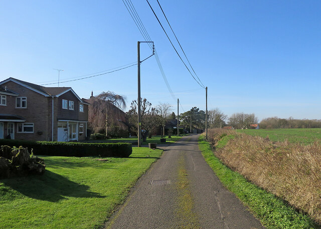
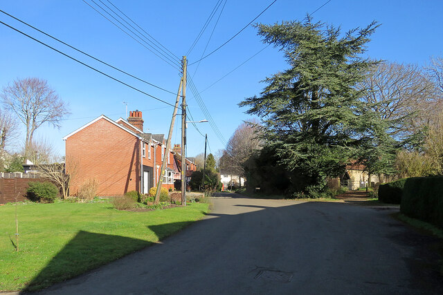
Wixoe is a small village located in the county of Suffolk, England. Situated near the border with Essex, it falls within the district of Babergh and is approximately 7 miles southeast of the town of Haverhill. The village is nestled in a rural setting, surrounded by picturesque countryside, and offers a tranquil and peaceful atmosphere.

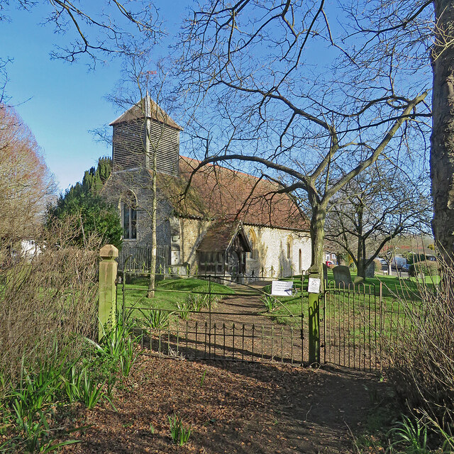
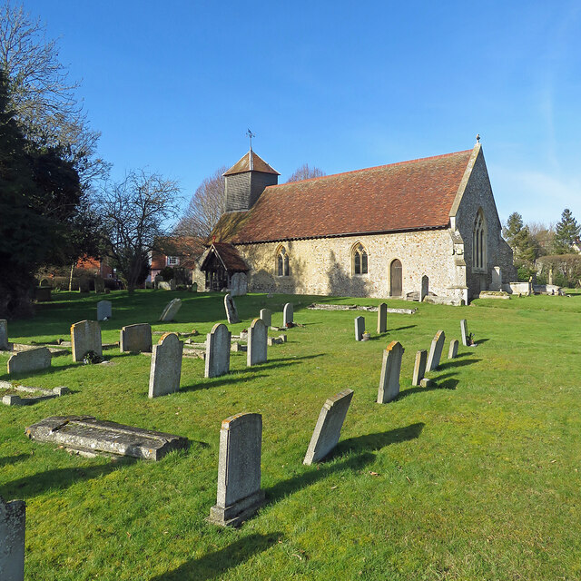
Wixoe is known for its historical significance, with evidence of human habitation dating back to the Roman era. The village is home to several ancient buildings, including St. Leonard's Church, which dates back to the 13th century. This beautiful church is a prominent landmark in the area and attracts visitors interested in its architectural and historical features.

The village itself is relatively small, with a population of around 200 residents. It consists mainly of residential properties, with a mix of traditional cottages and more modern houses. The community is close-knit and friendly, with a strong sense of community spirit.

Although Wixoe is a rural village, it benefits from its proximity to larger towns and cities. Haverhill, with its range of amenities including shops, schools, and leisure facilities, is easily accessible by road. The village also enjoys good transport links, with nearby major roads such as the A1017 providing convenient access to other parts of Suffolk and Essex.

Overall, Wixoe offers a charming and idyllic setting for those seeking a peaceful village lifestyle, away from the hustle and bustle of urban areas. Its rich history and beautiful surroundings make it an attractive place to live or visit.

If you have any feedback on the listing, please let us know in the comments section below.
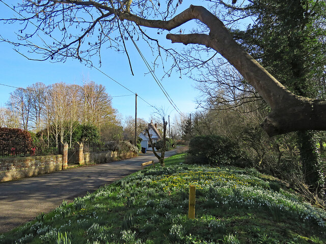
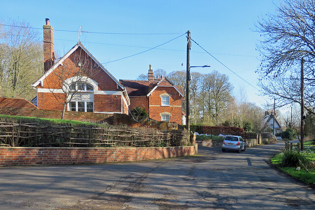
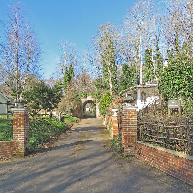
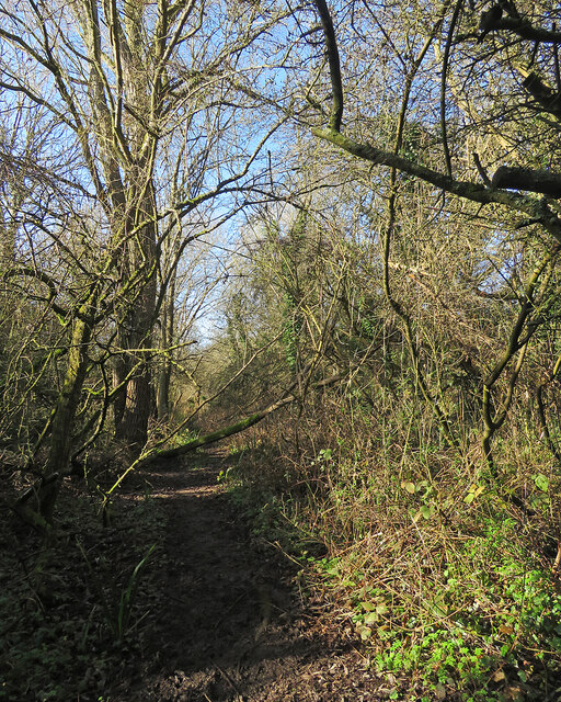
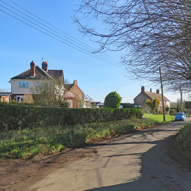
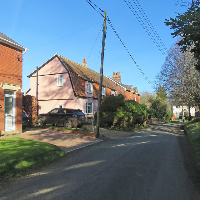
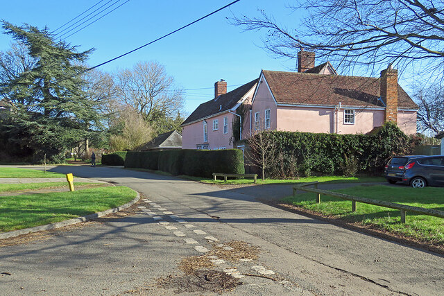
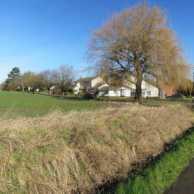
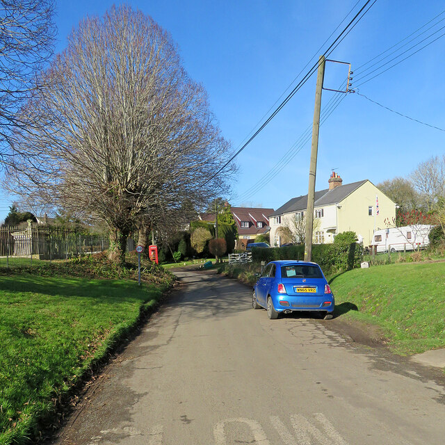
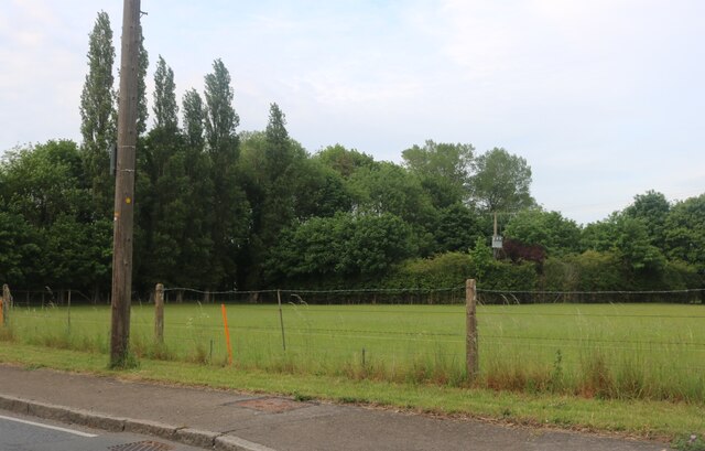
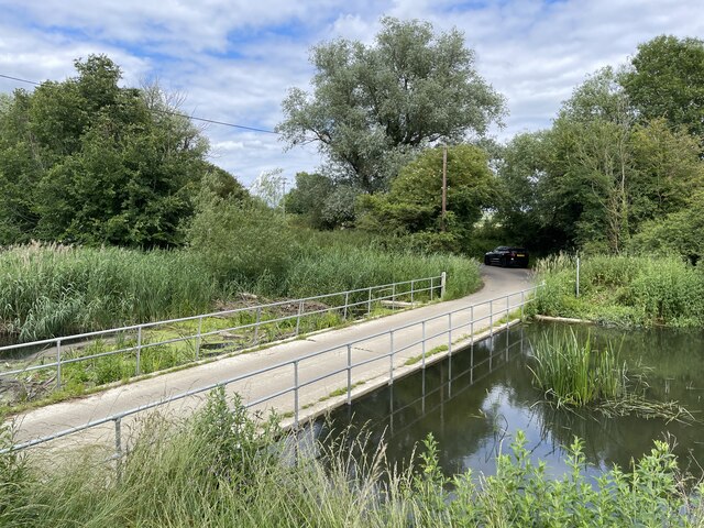
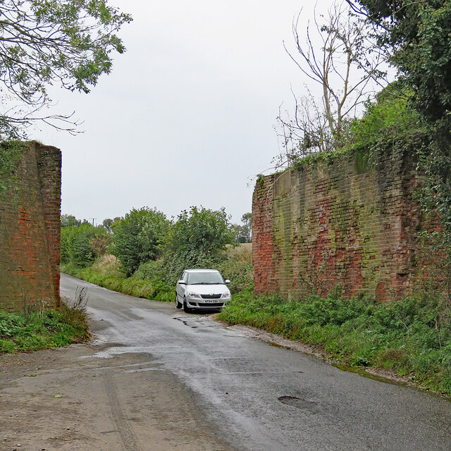
Wixoe Images

Images are sourced within 2km of 52.058719/0.50523149 or Grid Reference TL7142. Thanks to Geograph Open Source API. All images are credited.

Wixoe: snowdrops and aconites on the verge The C17-C18 timber-framed thatched house in the middle distance is Grade II listed.
Wixoe: snowdrops and aconites on the verge
The C17-C18 timber-framed thatched house in the middle distance is Grade II listed.
Wixoe: The Old School The former village school, at the eastern end of the village.
Wixoe: The Old School
The former village school, at the eastern end of the village.
Wixoe: The Gate Lodge and a former railway bridge The Gate Lodge to Floriston Hall dates from the early 19th century, has pointed Gothick windows and is Grade II listed. There is a glimpse of the 19th-century Hall, also Grade II listed, through the railway arch. The bridge carried the Cambridge-Colchester Stour Valley Line until the Shelford to Sudbury section closed in 1967.
Wixoe: The Gate Lodge and a former railway bridge
The Gate Lodge to Floriston Hall dates from the early 19th century, has pointed Gothick windows and is Grade II listed. There is a glimpse of the 19th-century Hall, also Grade II listed, through the railway arch. The bridge carried the Cambridge-Colchester Stour Valley Line until the Shelford to Sudbury section closed in 1967.
Wixoe: once a railway cutting This overgrown cutting was, until the Sudbury to Shelford section closed in 1967, part of the Colchester-Cambridge (ahead) Stour Valley route.
Wixoe: once a railway cutting
This overgrown cutting was, until the Sudbury to Shelford section closed in 1967, part of the Colchester-Cambridge (ahead) Stour Valley route.
Wixoe: Church View Bright sunlight and deep shadows on a fine February morning.
Wixoe: Church View
Bright sunlight and deep shadows on a fine February morning.
Wixoe: Church Terrace Houses west of the church.
Wixoe: Church Terrace
Houses west of the church.
Wixoe: The Old Rectory "A C17 timber-framed and plastered house altered in the C18 and later. Two storeys. The windows are mainly casements. A C20 door has a lattice porch and a double-hung sash window above, with architrave and pediment" (Grade II listing text).
Wixoe: The Old Rectory
"A C17 timber-framed and plastered house altered in the C18 and later. Two storeys. The windows are mainly casements. A C20 door has a lattice porch and a double-hung sash window above, with architrave and pediment" (Grade II listing text).
Wixoe: near the corner of Stour Vale The willow at the corner of Stour Vale is winter yellow - but a closer look showed the tiniest traces of uncurling spring green in some leaves.
Wixoe: near the corner of Stour Vale
The willow at the corner of Stour Vale is winter yellow - but a closer look showed the tiniest traces of uncurling spring green in some leaves.
Wixoe: the road to Sturmer The western end of the village on a bright morning in February.
Wixoe: the road to Sturmer
The western end of the village on a bright morning in February.
Wixoe: nearing the church Church Terrace is on the left and there's a glimpse of St Leonard's Church through the trees on the right.
Wixoe: nearing the church
Church Terrace is on the left and there's a glimpse of St Leonard's Church through the trees on the right.
Wixoe: St Leonard's Church and gate There are two gates to the churchyard, one at the east end and this one south-west of the Grade II* listed church. The listing reads "A flint and stone church of C12 origin. Nave and chancel are C15. The south door is C12 with one order of shafts with scalloped capitals and zig-zag ornamentation on the arch. There is also a blocked Norman door on the north side. The windows are C19 or C20 restorations. Roof tiled, with a weatherboarded bell turret."
Wixoe: St Leonard's Church and gate
There are two gates to the churchyard, one at the east end and this one south-west of the Grade II* listed church. The listing reads "A flint and stone church of C12 origin. Nave and chancel are C15. The south door is C12 with one order of shafts with scalloped capitals and zig-zag ornamentation on the arch. There is also a blocked Norman door on the north side. The windows are C19 or C20 restorations. Roof tiled, with a weatherboarded bell turret."
Wixoe: St Leonard "A flint and stone church of C12 origin. Nave and chancel are C15. The south door is C12 with one order of shafts with scalloped capitals and zig-zag ornamentation on the arch. There is also a blocked Norman door on the north side. The windows are C19 or C20 restorations. Roof tiled, with a weatherboarded bell turret" (Grade II* listing text).
Wixoe: St Leonard
"A flint and stone church of C12 origin. Nave and chancel are C15. The south door is C12 with one order of shafts with scalloped capitals and zig-zag ornamentation on the arch. There is also a blocked Norman door on the north side. The windows are C19 or C20 restorations. Roof tiled, with a weatherboarded bell turret" (Grade II* listing text).
Wixoe: cloudless sky in February The churchyard is on the left, behind the railings.
Wixoe: cloudless sky in February
The churchyard is on the left, behind the railings.
Field by Mill Road, Baythorne End The trees on the left follow the River Stour, which marks the Essex border into Suffolk.
Field by Mill Road, Baythorne End
The trees on the left follow the River Stour, which marks the Essex border into Suffolk.
Ains Ford at Sturmer This is a much better image of this irish bridge ford at Sturmer. My previous attempt can be seen at:
<a title="https://www.geograph.org.uk/photo/3343240" href="https://www.geograph.org.uk/photo/3343240">Link</a>
Ains Ford at Sturmer
This is a much better image of this irish bridge ford at Sturmer. My previous attempt can be seen at: Link
Once a railway The Colne Valley & Halstead line closed on 31 December 1961. This stretch of the line between Birdbrook and the terminus at Haverhill (ahead) is now a farm track, though used by dog walkers like the one in the distance.

The trees and bushes have grown since <a href="https://www.geograph.org.uk/photo/1812241">TL7142 : Track of Colne Valley Railway</a> was taken in 2010.
Once a railway
The Colne Valley & Halstead line closed on 31 December 1961. This stretch of the line between Birdbrook and the terminus at Haverhill (ahead) is now a farm track, though used by dog walkers like the one in the distance. The trees and bushes have grown since TL7142 : Track of Colne Valley Railway was taken in 2010.
Remains of a railway bridge near Birdbrook Station This section of the Colne Valley & Halstead line closed on 31 December 1961. Birdbrook Station was away to the left - see Ben Brooksbank's <a href="https://www.geograph.org.uk/photo/1800757">TL7141 : Birdbrook Station (remains)</a>. In the sixty-one years since closure, the red-brick abutments and wing walls have spalled. <a href="https://www.geograph.org.uk/photo/1810313">TL7141 : Birdbrook Station bridge remains</a> shows the other side of the bridge on a brighter day in 2010.

After overnight rain, and a week after Storm Babet, a lot of water was running off the fields and down the sides of the lane.
Remains of a railway bridge near Birdbrook Station
This section of the Colne Valley & Halstead line closed on 31 December 1961. Birdbrook Station was away to the left - see Ben Brooksbank's TL7141 : Birdbrook Station (remains). In the sixty-one years since closure, the red-brick abutments and wing walls have spalled. TL7141 : Birdbrook Station bridge remains shows the other side of the bridge on a brighter day in 2010. After overnight rain, and a week after Storm Babet, a lot of water was running off the fields and down the sides of the lane.
Parkers Garden Company, New England, Essex New England is an area close to Haverhill. It is just in Essex, near the Suffolk border, and lies on the A1017 road.
Parkers Garden Company, New England, Essex
New England is an area close to Haverhill. It is just in Essex, near the Suffolk border, and lies on the A1017 road.
Show me another place!

Wixoe is located at Grid Ref: TL7142 (Lat: 52.058719, Lng: 0.50523149)

Administrative County: Suffolk

District: West Suffolk

Police Authority: Suffolk

What 3 Words

///expensive.echo.ruling. Near Kedington, Suffolk

Related Wikis

Wixoe

Wixoe is a village and civil parish in the West Suffolk district of Suffolk in eastern England. Located on the northern bank of the River Stour, two miles...

Baythorne End

Baythorne End is a hamlet in the English county of Essex, England. It is located directly on the border with Suffolk. The hamlet is within the civil parish...

Birdbrook railway station

Birdbrook railway station was located 0.7 miles (1.1 km) to the northeast of the village of Birdbrook, Essex. It was 65 miles 74 chains (106.10 km; 65...

Boyton End, Suffolk

Boyton End is a hamlet in Suffolk, England. Boyton was recorded in the Domesday Book as Alia Boituna. == References ==

Related Videos

New England, USA πŸ‡ΊπŸ‡Έ | Maine, Vermont, NH, MA, Connecticut & Rhode Island. πŸŽ₯ by __paulanthony_

New England, USA New England is a northeastern region of the United States comprising the states of Maine, Vermont, New ...

Nearby Amenities

Located within 500m of 52.058719,0.50523149
Wixoe
Created By: Potlatch 0.5a
Is In: Suffolk, England, UK
Place: village
Source: npe
Wikidata: Q2931100
Lat/Long: 52.0598278/0.5044495
Bus Stop
Church
Naptan AtcoCode: 390050036
Naptan Bearing: N
Naptan BusStopType: CUS
Naptan CommonName: Church
Naptan Indicator: adj
Naptan Landmark: Church
Naptan NaptanCode: sufgdawm
Naptan Street: Church Terrace
Naptan Verified: no
Source: naptan_import
Lat/Long: 52.058976/0.5046726
Bus Stop
Church
Naptan AtcoCode: 390050037
Naptan Bearing: S
Naptan BusStopType: CUS
Naptan CommonName: Church
Naptan Indicator: opp
Naptan Landmark: Church
Naptan NaptanCode: sufgdawp
Naptan Street: Church Terrace
Naptan Verified: no
Source: naptan_import
Lat/Long: 52.0589351/0.5044806
Power: pole
Lat/Long: 52.0597336/0.4991463
Power: pole
Lat/Long: 52.0595246/0.5043786
Power: pole
Lat/Long: 52.0596231/0.5004797
Power: pole
Lat/Long: 52.0595098/0.5018466
Defibrillator
Booth: K6
Defibrillator Location: Inside the disused telephone kiosk, close to the church.
Disused Amenity: telephone
Emergency: defibrillator
Indoor: no
Man Made: telephone_box
Operator: Community Heartbeat Trust
Public Bookcase Type: phone_box
Ref: CHT-D0054
Lat/Long: 52.0590639/0.5044638
Post Box
Operator: Royal Mail
Operator Wikidata: Q638098
Post Box Mounting: wooden_post
Post Box Type: lamp
Ref: CO10 1149
Royal Cypher: EIIR
Royal Cypher Wikidata: Q33102113
Lat/Long: 52.0588/0.5052148
The data included in this document is from www.openstreetmap.org. The data is made available under ODbL.

Have you been to Wixoe?

Leave your review of Wixoe below (or comments, questions and feedback).