Wivelsfield Green
Settlement in Sussex Lewes
England
Wivelsfield Green

Wivelsfield Green is a picturesque village located in the county of Sussex, England. Situated just four miles to the south of Haywards Heath, this quaint village offers a peaceful and idyllic setting for its residents and visitors alike.
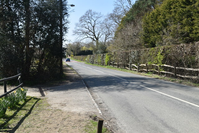
Surrounded by lush green fields and rolling hills, Wivelsfield Green is renowned for its natural beauty. The village is characterized by charming cottages and traditional architecture, exuding a sense of timeless appeal. The village green, after which the village is named, is a central focal point and serves as a gathering place for community events and activities.
Despite its small size, Wivelsfield Green boasts several amenities to cater to the needs of its residents. The village is home to a local pub, the Cock Inn, which provides a warm and welcoming atmosphere for locals and visitors to enjoy a drink or a meal. Additionally, a small convenience store can be found in the village, ensuring that residents have access to daily essentials.
Wivelsfield Green is also well-connected to larger nearby towns. The village has its own railway station, providing convenient transport links to Brighton, London, and other major cities. This accessibility makes Wivelsfield Green an ideal location for commuters looking to escape the hustle and bustle of city life.
Overall, Wivelsfield Green offers a tranquil and charming escape, showcasing the best of rural Sussex living. With its stunning natural surroundings and close-knit community, it is no wonder that this village is highly sought after by those seeking a peaceful and picturesque place to call home.
If you have any feedback on the listing, please let us know in the comments section below.
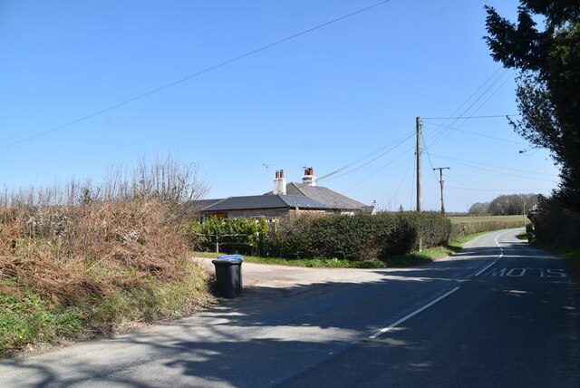
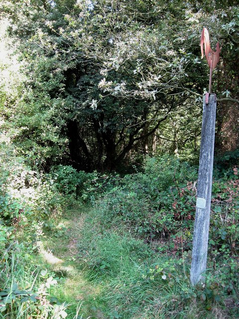
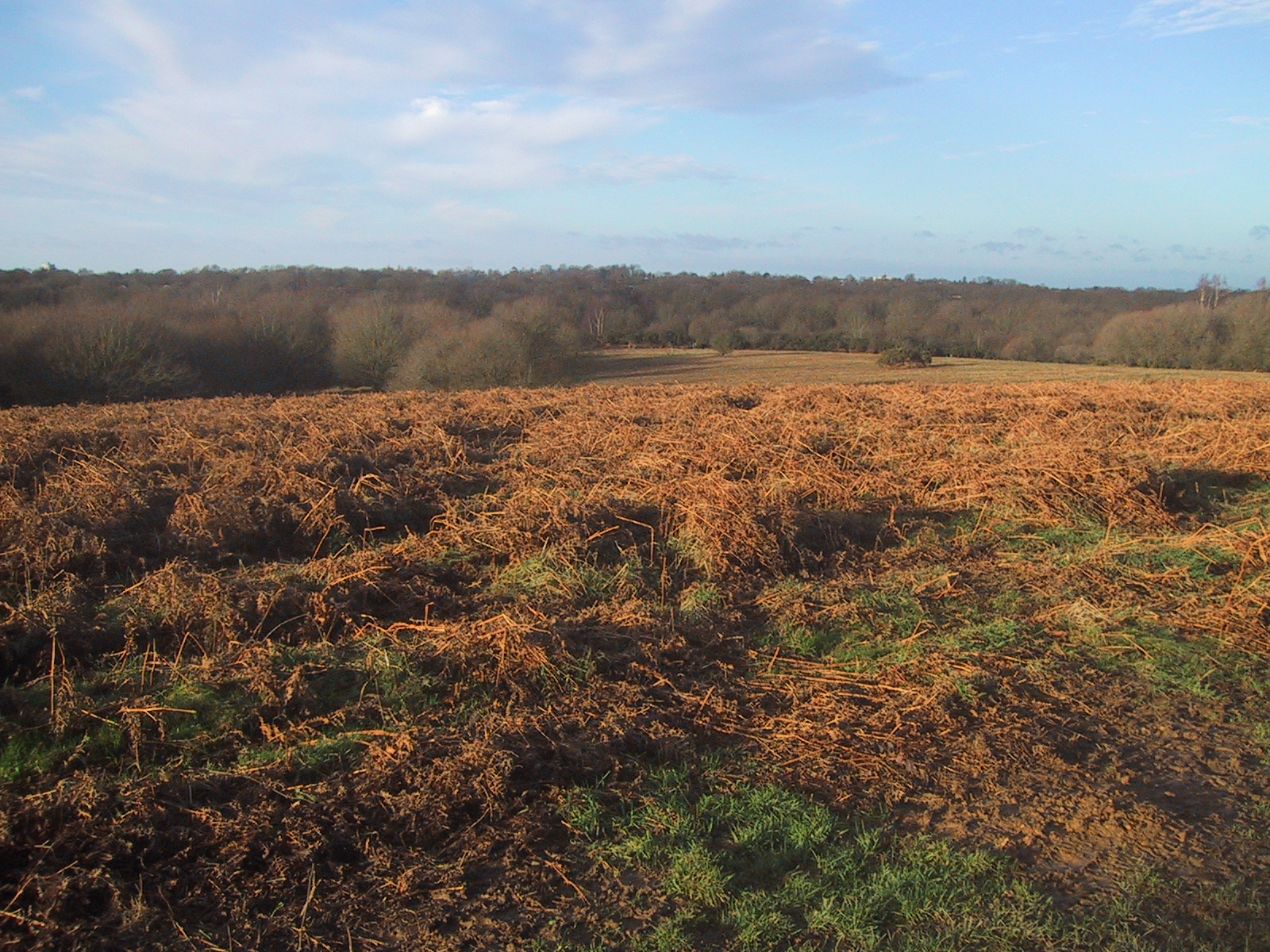
Wivelsfield Green Images
Images are sourced within 2km of 50.961876/-0.070171 or Grid Reference TQ3519. Thanks to Geograph Open Source API. All images are credited.


Wivelsfield Green is located at Grid Ref: TQ3519 (Lat: 50.961876, Lng: -0.070171)
Administrative County: East Sussex
District: Lewes
Police Authority: Sussex
What 3 Words
///vague.chained.guides. Near Wivelsfield Green, East Sussex
Nearby Locations
Related Wikis

RAF Chailey
RAF Chailey was a Royal Air Force Advanced Landing Ground close to the village of Chailey near Burgess Hill in East Sussex during the Second World War...

Wivelsfield
Wivelsfield () village and the larger adjacent village of Wivelsfield Green are the core of the civil parish of Wivelsfield in the Lewes District of East...
Jacob's Post
Jacob's Post is a post outside the old Royal Oak pub just inside the north of Ditchling Common to the east of Burgess Hill, in Lewes district, East Sussex...

Bethel Strict Baptist Chapel, Wivelsfield
Bethel Baptist Chapel is a Strict Baptist place of worship in the village of Wivelsfield in East Sussex, England. The cause was founded in 1763 by members...
Ditchling Common
Ditchling Common is a 66.5-hectare (164-acre) biological Site of Special Scientific Interest south-west of Wivelsfield in East Sussex. It is a country...
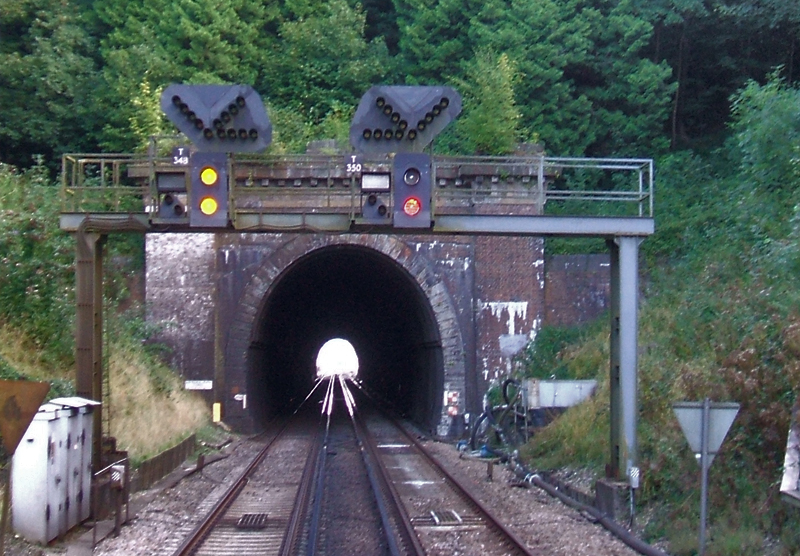
Haywards Heath Tunnel
Haywards Heath tunnel, also known as Folly Hill tunnel, is a railway tunnel on the Brighton Main Line between Haywards Heath and Wivelsfield. It is 249...

Chailey Heritage School
Chailey Heritage School is a special school located in North Chailey, East Sussex, England. It is owned and operated by the Chailey Heritage Foundation...

Chailey Moat
Chailey Moat is a Grade II listed building near the village of Chailey, East Sussex. It is a 16th-century moated two storey house with an 18th-century...
Nearby Amenities
Located within 500m of 50.961876,-0.070171Have you been to Wivelsfield Green?
Leave your review of Wivelsfield Green below (or comments, questions and feedback).