Witnells End
Settlement in Staffordshire Wyre Forest
England
Witnells End
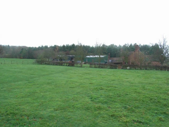
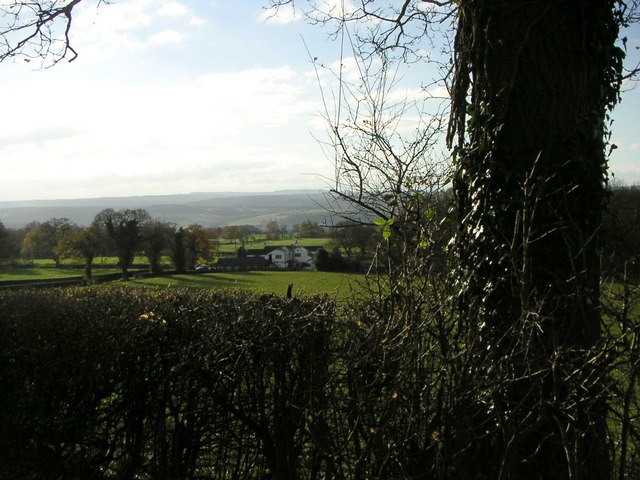
Witnells End is a small village located in the county of Staffordshire, England. Situated in the heart of the country, it is surrounded by picturesque countryside and rolling hills, offering residents and visitors alike a peaceful and idyllic setting.
The village itself is characterized by its charming and traditional architecture, with many of the buildings dating back several centuries. The local church, St. Mary's, is a prominent feature and serves as a reminder of the village's rich history.
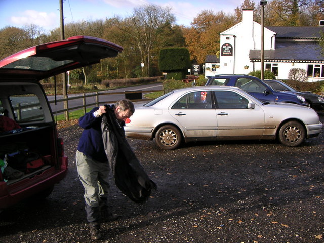
Despite its small size, Witnells End boasts a strong and close-knit community. The village is home to a range of amenities, including a primary school, a village hall, and a local pub, where residents often gather to socialize and enjoy a drink or a meal.
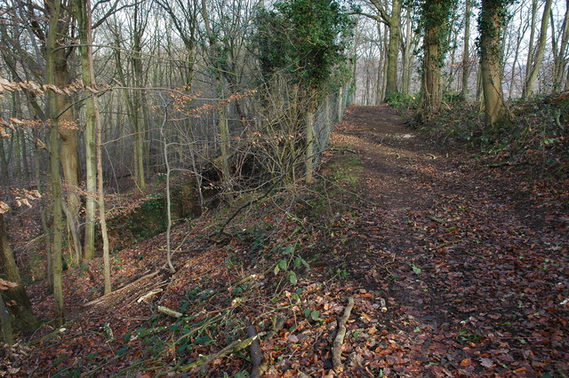
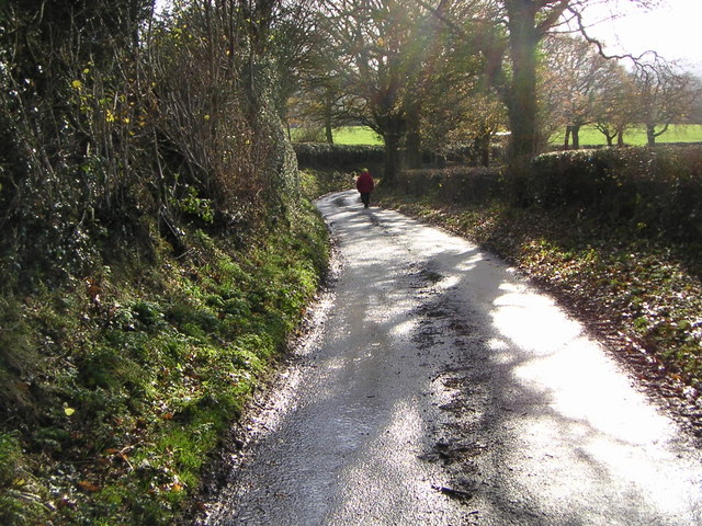
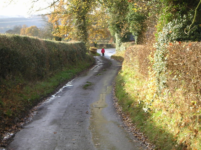
Nature lovers will find plenty to explore in the surrounding area, with numerous walking paths and nature reserves nearby. The Staffordshire countryside offers beautiful landscapes, perfect for outdoor activities such as hiking, cycling, and birdwatching.
Witnells End benefits from its proximity to the larger towns and cities in Staffordshire. The village is well-connected by road, with easy access to nearby towns such as Stafford and Stoke-on-Trent. This allows residents to enjoy the tranquility of rural living while still having convenient access to urban amenities and employment opportunities.
In summary, Witnells End is a charming and peaceful village in Staffordshire, offering a close-knit community, stunning countryside views, and convenient access to nearby towns and cities.
If you have any feedback on the listing, please let us know in the comments section below.
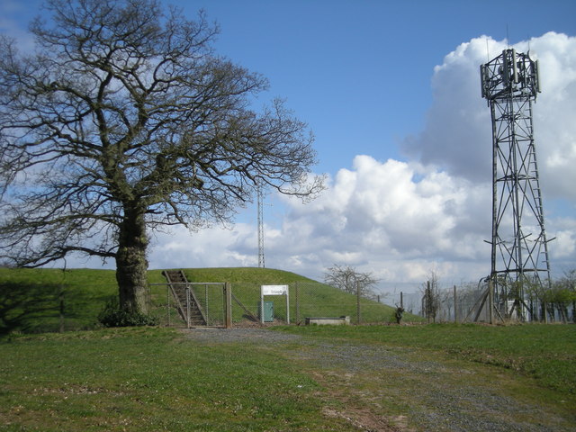
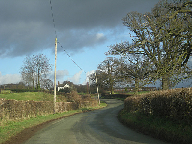
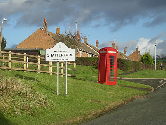
Witnells End Images
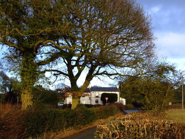
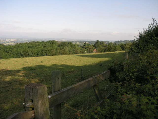
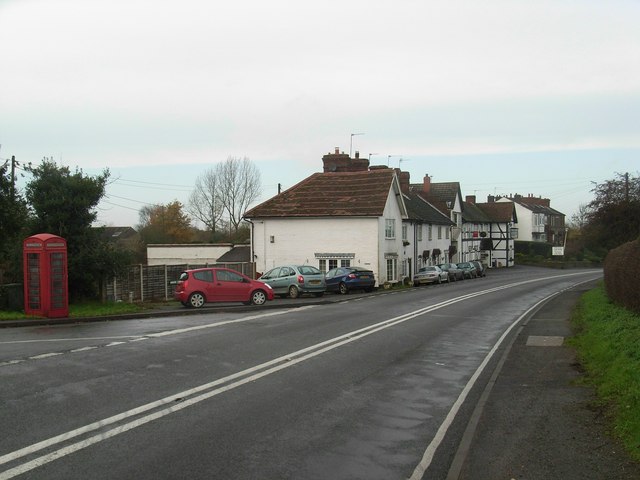
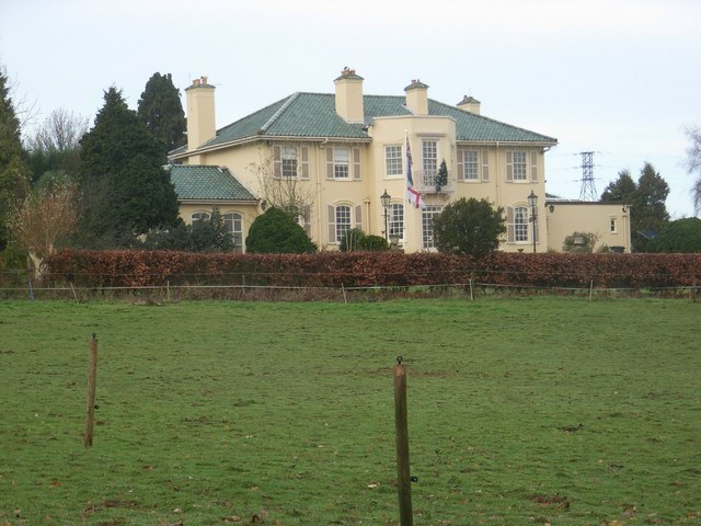
Images are sourced within 2km of 52.432766/-2.303996 or Grid Reference SO7981. Thanks to Geograph Open Source API. All images are credited.


Witnells End is located at Grid Ref: SO7981 (Lat: 52.432766, Lng: -2.303996)
Administrative County: Worcestershire
District: Wyre Forest
Police Authority: West Mercia
What 3 Words
///recital.crossings.skidding. Near Romsley, Shropshire
Nearby Locations
Related Wikis

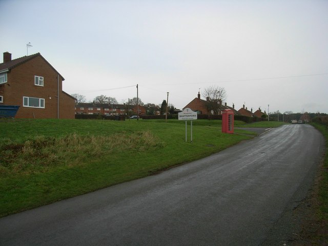
Shatterford
Shatterford is a village in the Wyre Forest District of Worcestershire, England, located north-west of Bewdley and lies less than a mile from the county...

Castle Hill, Wolverley
Castle Hill or Baron Hill is about a mile from the hamlet of Kingsford in the civil parish of Wolverley and Cookley, Worcestershire. In 1912 the site consisted...

Romsley, Shropshire
Romsley (grid reference SO783826) is a hamlet and civil parish in southeast Shropshire, England. It is bounded on the north and west by Alveley and on...

Drakelow, Worcestershire
Drakelow is a hamlet in Worcestershire, England. It is one of the ancient townships of the manor of Wolverley, whose extent was similar to that of the...
Nearby Amenities
Located within 500m of 52.432766,-2.303996Have you been to Witnells End?
Leave your review of Witnells End below (or comments, questions and feedback).