Shatterford
Settlement in Staffordshire Wyre Forest
England
Shatterford
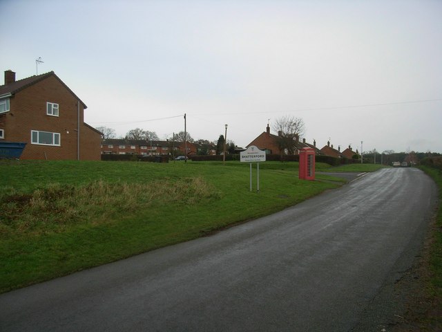
Shatterford is a small village located in the county of Staffordshire, England. Situated approximately 8 miles west of the town of Kidderminster, Shatterford is a rural settlement surrounded by picturesque countryside and quaint farmlands.
The village is known for its tranquil and idyllic setting, offering a peaceful retreat away from the hustle and bustle of city life. With a population of around 500 residents, Shatterford maintains a close-knit community atmosphere.
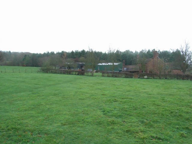
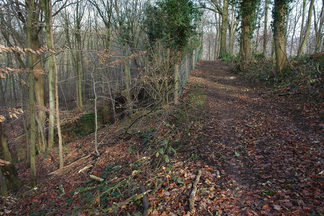
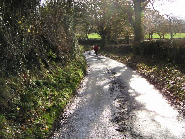
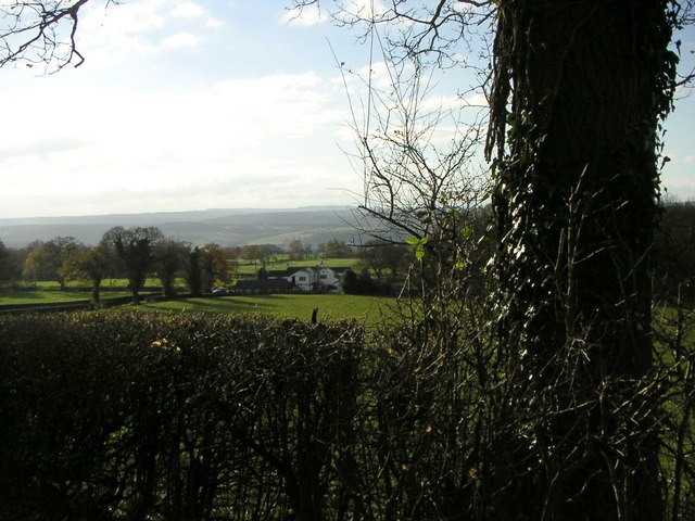
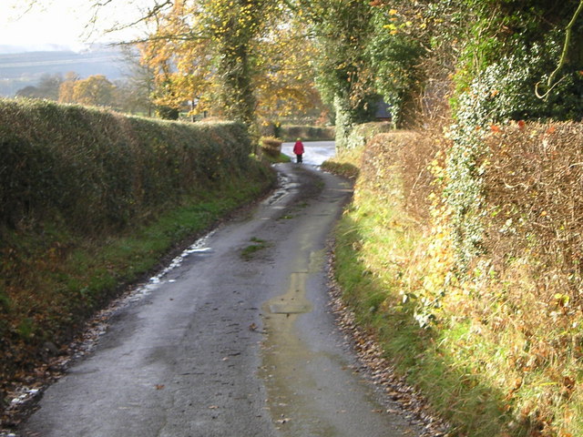
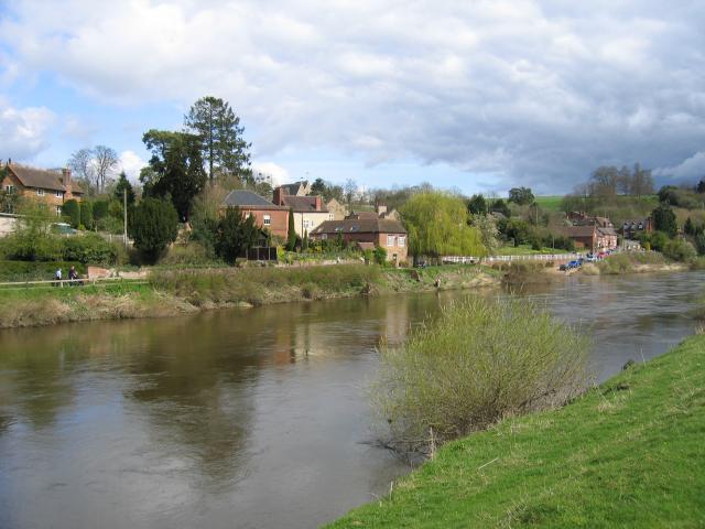
One of the notable features of Shatterford is its beautiful natural surroundings. The village is nestled within the Wyre Forest District, offering residents and visitors ample opportunities for outdoor activities such as hiking, cycling, and birdwatching. The nearby River Severn also provides a scenic spot for fishing and boating enthusiasts.
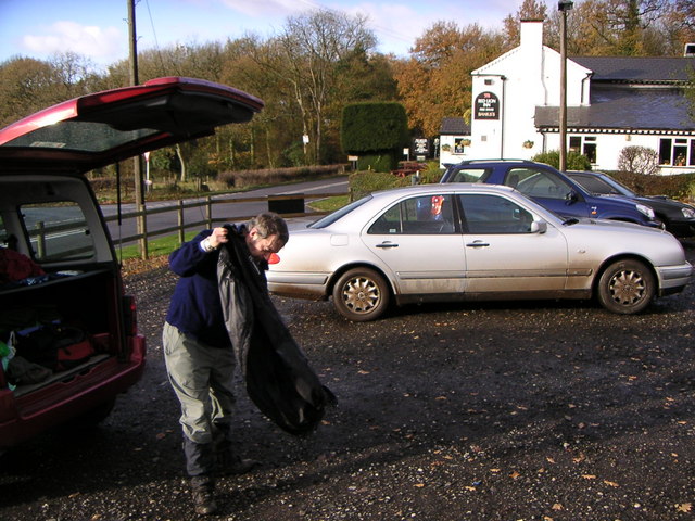
Shatterford is home to a few local amenities, including a village hall and a charming pub, where locals and visitors can enjoy a pint of ale and traditional British cuisine. The village is also conveniently located within close proximity to larger towns and cities, such as Kidderminster and Stourbridge, offering access to a wider range of services and amenities.
Overall, Shatterford is a peaceful and picturesque village that offers a tranquil escape in the heart of Staffordshire's countryside. Its natural beauty and close-knit community make it an attractive place to reside or visit for those seeking a slower pace of life and a connection with nature.
If you have any feedback on the listing, please let us know in the comments section below.
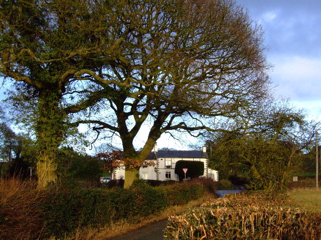
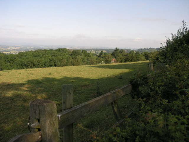
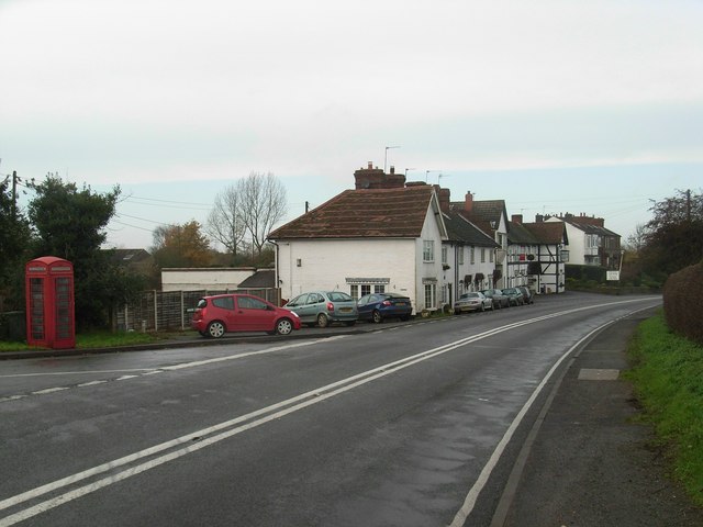
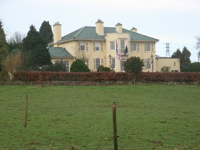
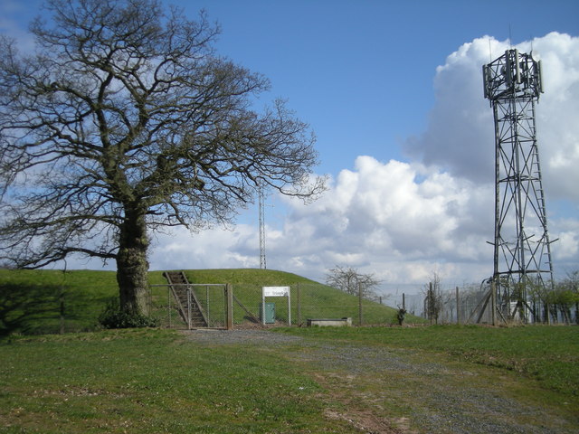
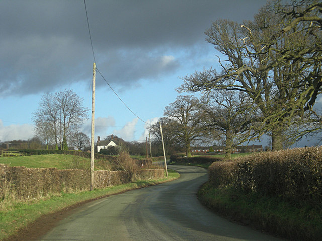
Shatterford Images
Images are sourced within 2km of 52.427726/-2.306314 or Grid Reference SO7981. Thanks to Geograph Open Source API. All images are credited.


Shatterford is located at Grid Ref: SO7981 (Lat: 52.427726, Lng: -2.306314)
Administrative County: Worcestershire
District: Wyre Forest
Police Authority: West Mercia
What 3 Words
///named.remaining.refills. Near Romsley, Shropshire
Nearby Locations
Related Wikis

Shatterford
Shatterford is a village in the Wyre Forest District of Worcestershire, England, located north-west of Bewdley and lies less than a mile from the county...

Drakelow, Worcestershire
Drakelow is a hamlet in Worcestershire, England. It is one of the ancient townships of the manor of Wolverley, whose extent was similar to that of the...

Castle Hill, Wolverley
Castle Hill or Baron Hill is about a mile from the hamlet of Kingsford in the civil parish of Wolverley and Cookley, Worcestershire. In 1912 the site consisted...

Romsley, Shropshire
Romsley (grid reference SO783826) is a hamlet and civil parish in southeast Shropshire, England. It is bounded on the north and west by Alveley and on...

Shatterford Hill
Shatterford Hill is an English geographical feature that extends from Bewdley in north Worcestershire to Birdsgreen near Alveley, just over the border...

Trimpley
Trimpley (grid reference SO793784) is a hamlet in the parish of Kidderminster Foreign. It lies on the ridge of Shatterford Hill, north of Wribbenhall...

Arley House and Gardens
Arley House and Gardens are situated at Upper Arley, about 4 miles (6.4 km) north-west of Bewdley, in Worcestershire, England. The gardens, arboretum and...
Upper Arley
Upper Arley (grid reference SO765805) is a village and civil parish near Kidderminster in the Wyre Forest District of Worcestershire, England. Historically...
Nearby Amenities
Located within 500m of 52.427726,-2.306314Have you been to Shatterford?
Leave your review of Shatterford below (or comments, questions and feedback).